Pwllgwaun
Settlement in Glamorgan
Wales
Pwllgwaun
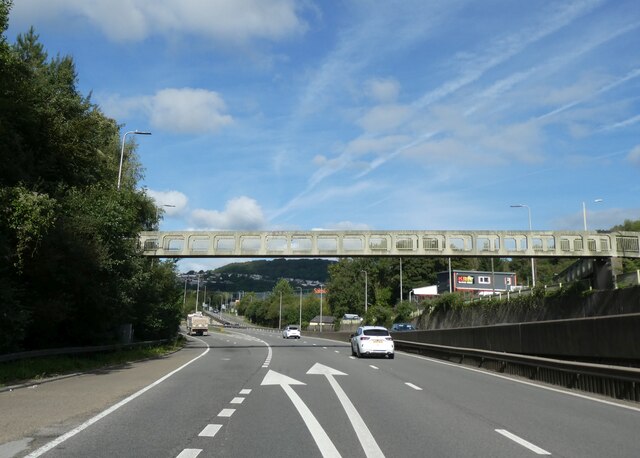
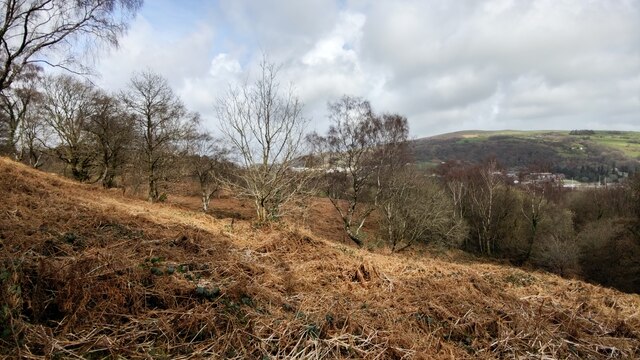
Pwllgwaun is a small village located in the county of Glamorgan, Wales. It is situated in the Cynon Valley, within the larger community of Pontypridd. The village is nestled in the picturesque Welsh countryside, surrounded by rolling hills and lush greenery.
Pwllgwaun has a rich history, dating back to the 19th century when it was primarily a mining community. Coal mining was the main industry in the area, and the village prospered due to the abundance of coal reserves. However, with the decline of the mining industry in the mid-20th century, Pwllgwaun underwent a significant transformation.
Today, Pwllgwaun is a peaceful residential area, offering a tranquil and idyllic lifestyle to its residents. The village is characterized by rows of charming cottages, some of which date back to the mining era. The community is tight-knit, with a friendly and welcoming atmosphere.
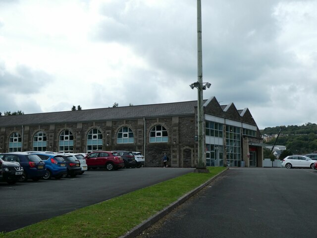
Despite its small size, Pwllgwaun provides its residents with essential amenities. These include a primary school, a community center, and a few local shops and businesses. For more extensive facilities, the nearby town of Pontypridd is easily accessible.
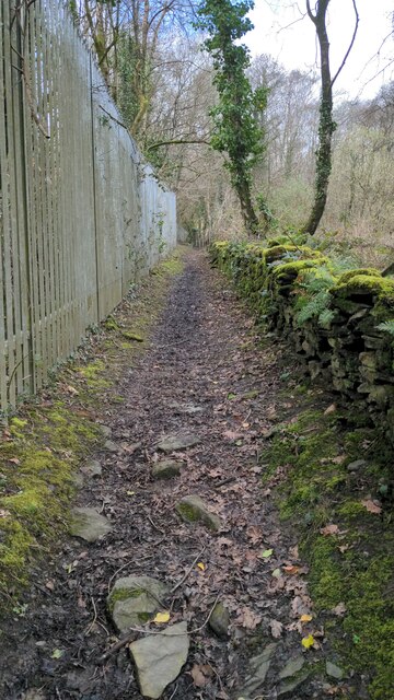
Nature lovers will appreciate the stunning surroundings of Pwllgwaun, as it offers various opportunities for outdoor activities. The nearby Dare Valley Country Park provides ample space for walking, cycling, and picnicking.
In summary, Pwllgwaun is a charming village nestled in the heart of Glamorgan, Wales. With its rich history, picturesque landscapes, and close-knit community, it offers its residents a peaceful and rural lifestyle.
If you have any feedback on the listing, please let us know in the comments section below.
Pwllgwaun Images
Images are sourced within 2km of 51.602602/-3.345702 or Grid Reference ST0690. Thanks to Geograph Open Source API. All images are credited.


Pwllgwaun is located at Grid Ref: ST0690 (Lat: 51.602602, Lng: -3.345702)
Unitary Authority: Rhondda Cynon Taf
Police Authority: South Wales
Also known as: Pwll Gwaun
What 3 Words
///drill.shine.expert. Near Pontypridd, Rhondda Cynon Taf
Nearby Locations
Related Wikis
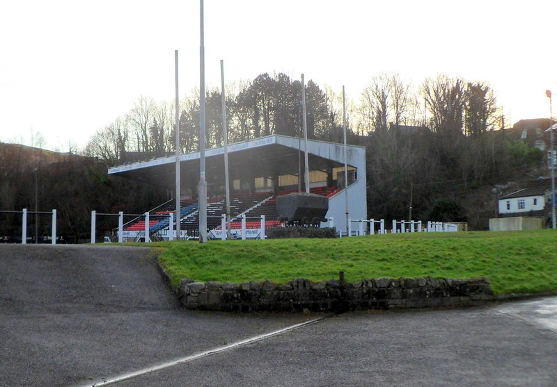
Sardis Road
Sardis Road (Welsh: Heol Sardis) is a rugby union stadium situated in Pontypridd, Wales. It is home to the Indigo Group Premiership team, Pontypridd RFC...

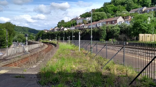
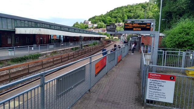
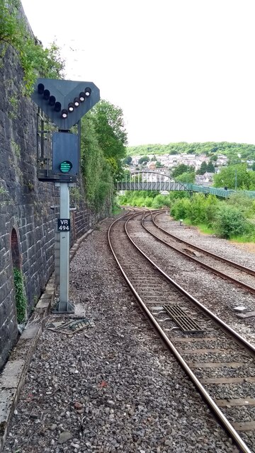
Rhondda line
The Rhondda line, also known as the Treherbert line, is a commuter railway line in South Wales from Cardiff to Treherbert. The line follows the Merthyr...

Pontypridd RFC
Pontypridd Rugby Football Club (Welsh: Clwb Rygbi Pontypridd) is a rugby union team from Pontypridd, Rhondda Cynon Taf, Wales. It competes in the Indigo...

Pwllgwaun
Pwllgwaun (or Pwll-Gwaun) is a village and small suburb of Pontypridd within the 'Rhondda' electoral ward, bordered by Hopkinstown and Graigwen hill to...

Pontypridd
Pontypridd (Welsh pronunciation: [ˌpɔntəˈpriːð]) (colloquially: Ponty) is a town and a community in Rhondda Cynon Taf, Wales. == Geography == Pontypridd...

Pontypridd (Senedd constituency)
Pontypridd is a constituency of the Senedd. It elects one Member of the Senedd by the first past the post method of election. It is also one of eight constituencies...

Pontypridd (UK Parliament constituency)
Pontypridd () is a constituency represented in the House of Commons of the UK Parliament since 2019 by Alex Davies-Jones of the Labour Party.The constituency...
Pontypridd railway accident
On Monday 23 January 1911, a collision between a passenger train and a coal train on the Taff Vale Railway line at Hopkinstown, outside Pontypridd in Wales...
Nearby Amenities
Located within 500m of 51.602602,-3.345702Have you been to Pwllgwaun?
Leave your review of Pwllgwaun below (or comments, questions and feedback).