Painshawfield

Settlement in Northumberland

England

Painshawfield

The porch, St Andrew's, Bywell The tiny village of Bywell is unusual in possessing two ancient churches standing almost side by side. St Andrew's was known colloquially as the "White Church" as the Premostratensians ("White  Canons") had the  rights to appoint the vicar. This was in contrast to St Peter's Church nearby known as the "Black Church" as the advowson rights there were granted to the black-robed Benedictine Monks. St Andrew's is now redundant and in the care of the Churches Conservation Trust.
The porch, St Andrew's, Bywell Credit: Oliver Dixon

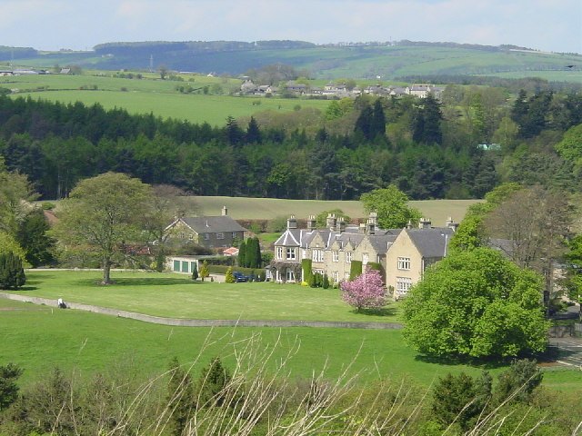
Painshawfield is a quaint village located in the county of Northumberland, England. Situated just a few miles west of the bustling market town of Hexham, Painshawfield offers residents and visitors a peaceful and picturesque setting.

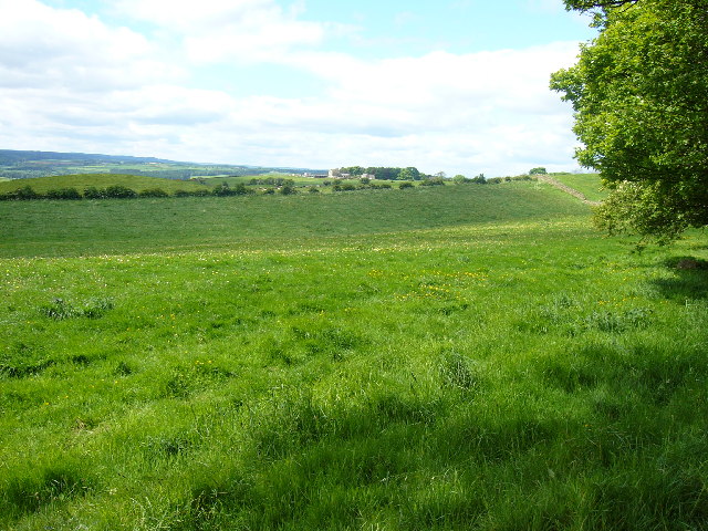
The village is known for its charming and well-preserved traditional stone houses, which give it a unique character. Painshawfield is surrounded by lush green fields and rolling hills, providing breathtaking views of the Northumberland countryside. The nearby River Tyne flows gracefully through the village, adding to its natural beauty.

Although small in size, Painshawfield has a strong sense of community. The residents are friendly and welcoming, and there is a close-knit atmosphere that is often lacking in larger towns and cities. The village has a local pub, The Riverside Inn, which is a popular gathering spot for locals and visitors alike.

Nature enthusiasts will find plenty to explore in the surrounding area. The nearby Tyne Green Country Park offers a range of outdoor activities, including walking trails, cycling routes, and picnic areas. Painshawfield is also conveniently located near popular tourist attractions such as Hadrian's Wall and Kielder Water and Forest Park.

Overall, Painshawfield is a tranquil and idyllic village that offers a peaceful escape from the hustle and bustle of everyday life. With its stunning natural surroundings and friendly community, it is a hidden gem in the heart of Northumberland.

If you have any feedback on the listing, please let us know in the comments section below.

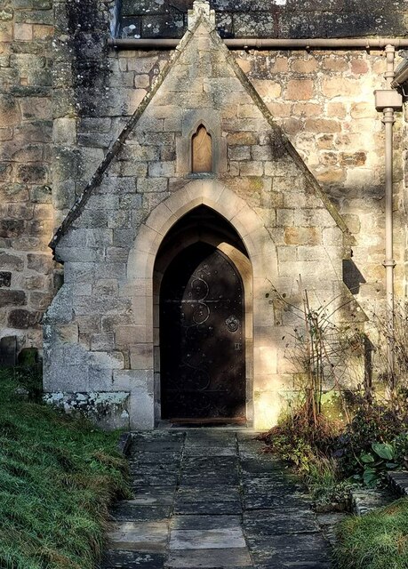
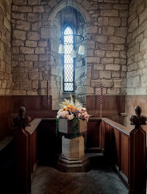
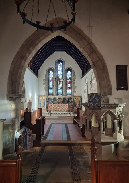
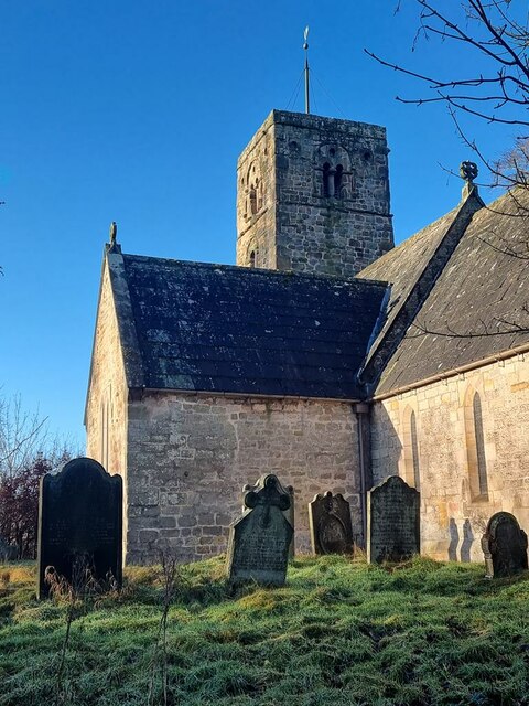
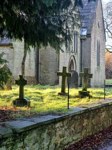
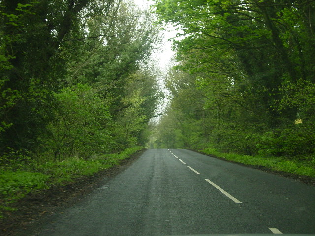
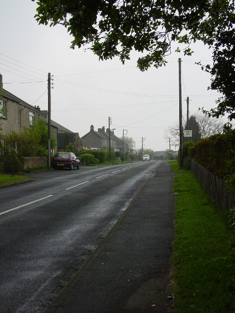
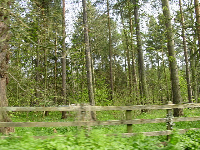
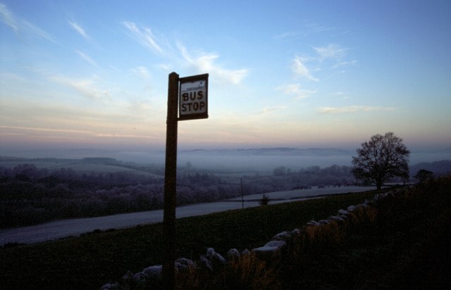
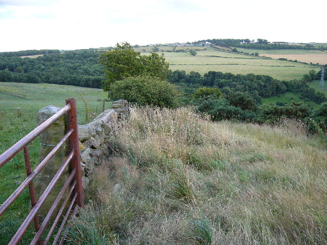
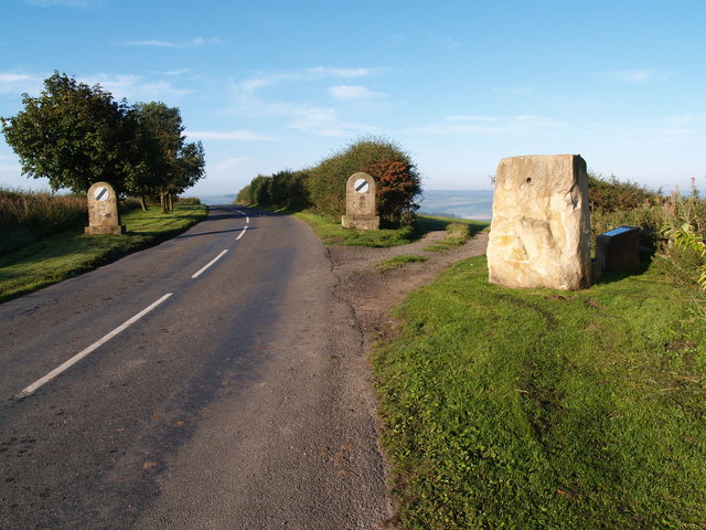
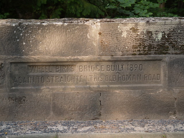
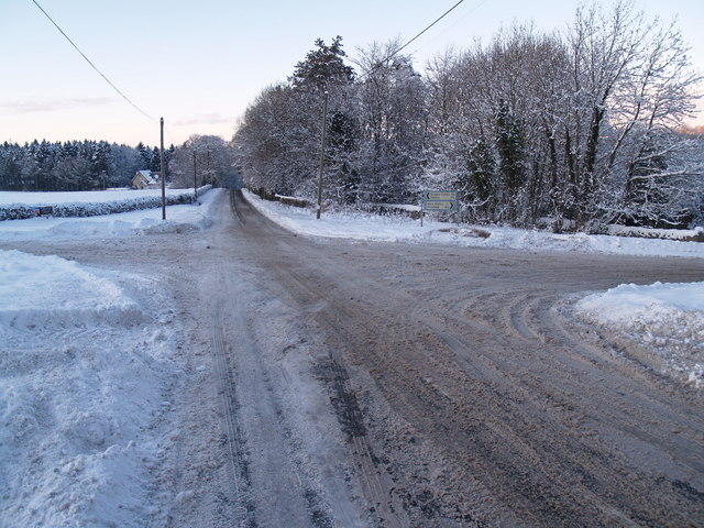
Painshawfield Images

Images are sourced within 2km of 54.93464/-1.9078888 or Grid Reference NZ0660. Thanks to Geograph Open Source API. All images are credited.

The porch, St Andrew's, Bywell The tiny village of Bywell is unusual in possessing two ancient churches standing almost side by side. St Andrew's was known colloquially as the "White Church" as the Premostratensians ("White  Canons") had the  rights to appoint the vicar. This was in contrast to St Peter's Church nearby known as the "Black Church" as the advowson rights there were granted to the black-robed Benedictine Monks. St Andrew's is now redundant and in the care of the Churches Conservation Trust.
The porch, St Andrew's, Bywell
The tiny village of Bywell is unusual in possessing two ancient churches standing almost side by side. St Andrew's was known colloquially as the "White Church" as the Premostratensians ("White Canons") had the rights to appoint the vicar. This was in contrast to St Peter's Church nearby known as the "Black Church" as the advowson rights there were granted to the black-robed Benedictine Monks. St Andrew's is now redundant and in the care of the Churches Conservation Trust.
The Font, St Andrew's, Bywell The Font dates from about 1300.
The Font, St Andrew's, Bywell
The Font dates from about 1300.
The Chancel, St Andrew's, Bywell The pulpit of this ancient church date from a major restoration in 1871.
The Chancel, St Andrew's, Bywell
The pulpit of this ancient church date from a major restoration in 1871.
St Andrew's Church, Bywell Porch and tower of this impressive 13th century church.

 The tiny village of Bywell is unusual in possessing two ancient churches standing almost side by side. St Andrew's was known colloquially as the "White Church" as the Premostratensians ("White  Canons") had the  rights to appoint the vicar. This was in contrast to St Peter's Church nearby known as the "Black Church" as the advowson rights there were granted to the black-robed Benedictine Monks. St Andrew's is now redundant and in the care of the Churches Conservation Trust.
St Andrew's Church, Bywell
Porch and tower of this impressive 13th century church. The tiny village of Bywell is unusual in possessing two ancient churches standing almost side by side. St Andrew's was known colloquially as the "White Church" as the Premostratensians ("White Canons") had the rights to appoint the vicar. This was in contrast to St Peter's Church nearby known as the "Black Church" as the advowson rights there were granted to the black-robed Benedictine Monks. St Andrew's is now redundant and in the care of the Churches Conservation Trust.
Churchyard of St Andrew's, Bywell North side.
Churchyard of St Andrew's, Bywell
North side.
'Young Wood' between New Ridley and Apperley Dene
New Ridley village, not looking its best.
Woodland on the B6306 past Wheel Birks Bridge
Hindley from Bale Hill
Bus Stop, New Ridley
Whittonstall Village from Apperley Fell Looking south east towards Whittonstall Village from Apperley Fell.
Whittonstall Village from Apperley Fell
Looking south east towards Whittonstall Village from Apperley Fell.
Apperley Fell Farmland Fields adjacent to Apperley Fell from below Hedley Grange Wood.
Apperley Fell Farmland
Fields adjacent to Apperley Fell from below Hedley Grange Wood.
View over Apperley Bank
Hindley near Stocksfield The hamlet of Hindley is in the foreground and just above is another hamlet called Brookside both residing in the Parish of Broomley and Stocksfield.
Hindley near Stocksfield
The hamlet of Hindley is in the foreground and just above is another hamlet called Brookside both residing in the Parish of Broomley and Stocksfield.
Foot Bridge and Ford on Batt House Road
Stocksfield Golf Club and Course
Hedley on the Hill village limits and Millennium Stone The road climbs up the steep hill from Stocksfield and enters the village from the west. The Millennium Stone has a seat on the other side for those wanting to enjoy the grand view of the Tyne valley.
Hedley on the Hill village limits and Millennium Stone
The road climbs up the steep hill from Stocksfield and enters the village from the west. The Millennium Stone has a seat on the other side for those wanting to enjoy the grand view of the Tyne valley.
Inscription on Wheelbirks Bridge (west side) Inscription on Wheelbirks Bridge which carries Dere Street over the Stocksfield Burn.
Inscription on Wheelbirks Bridge (west side)
Inscription on Wheelbirks Bridge which carries Dere Street over the Stocksfield Burn.
Show me another place!

Painshawfield is located at Grid Ref: NZ0660 (Lat: 54.93464, Lng: -1.9078888)

Unitary Authority: Northumberland

Police Authority: Northumbria

What 3 Words

///scribbled.cape.contain. Near Stocksfield, Northumberland

Related Wikis

New Ridley

New Ridley is a hamlet in the county of Northumberland, England. It is in the parish of Stocksfield and the parliamentary constituency of Hexham. It is...

Painshawfield Estate

The Painshawfield, Batt House and Birches Nook Estate is a housing estate in the village of Stocksfield in Northumberland, England. It is commonly known...

Hindley, Northumberland

Hindley is a small hamlet, comprising around 20 residences. It is in the parish of Stocksfield and is just to the south of Stocksfield in Northumberland...

Stocksfield railway station

Stocksfield is a railway station on the Tyne Valley Line, which runs between Newcastle and Carlisle via Hexham. The station, situated 14 miles 47 chains...
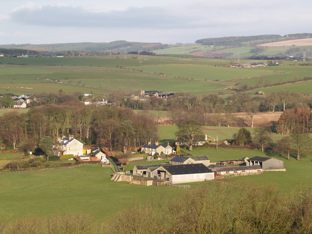
Stocksfield

Stocksfield is a small commuter village situated close to the River Tyne, about 14 miles (23 km) west of Newcastle upon Tyne in the southern part of Northumberland...

Branch End

Branch End is part of the village of Stocksfield in Northumberland, England. It is situated at the junction of the A695 Main Road with New Ridley Road...

Stocksfield Parish

Stocksfield, formerly Broomley and Stocksfield is a civil parish in Northumberland, England. At the 2001 census, the parish, which includes the village...
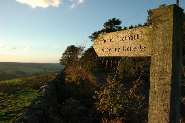
Apperley Dene

Apperley Dene is a hamlet in Stocksfield parish, Northumberland, England. It is situated south of the River Tyne between Hexham and Newcastle upon Tyne...

Nearby Amenities

Located within 500m of 54.93464,-1.9078888
Stocksfield Burn Ford
Bicycle: dismount
Foot: no
Ford: yes
Horse: yes
Motor Vehicle: yes
Source: OS_OpenData_StreetView
Lat/Long: 54.9351854/-1.9149149
Addr Housenumber: 58
Addr Street: Painshawfield Road
Lat/Long: 54.9374639/-1.91072
Bench
Backrest: yes
Image 0: https://i.imgur.com/2jDOx4Q.jpeg
Material: plastic
Seats Separated: no
Survey Date: 2024-04-09
Two Sided: no
Lat/Long: 54.9347405/-1.9154448
Post Box
Ref: NE43 248
Lat/Long: 54.9389134/-1.9081318
Barrier: stile
Lat/Long: 54.9338312/-1.9104997
Barrier: stile
Lat/Long: 54.93628/-1.9100767
Power: pole
Lat/Long: 54.9319071/-1.912981
Power: pole
Lat/Long: 54.9322924/-1.9140297
Generator Method: photovoltaic
Generator Output Electricity: yes
Generator Source: solar
Generator Type: solar_photovoltaic_panel
Location: roof
Power: generator
Lat/Long: 54.9330531/-1.9012719
Generator Method: photovoltaic
Generator Output Electricity: yes
Generator Source: solar
Generator Type: solar_photovoltaic_panel
Location: roof
Power: generator
Lat/Long: 54.9330177/-1.9013201
Generator Method: photovoltaic
Generator Output Electricity: yes
Generator Source: solar
Generator Type: solar_photovoltaic_panel
Location: roof
Power: generator
Lat/Long: 54.9331332/-1.9031923
Generator Method: photovoltaic
Generator Output Electricity: yes
Generator Source: solar
Generator Type: solar_photovoltaic_panel
Location: roof
Power: generator
Lat/Long: 54.9374491/-1.9024292
Generator Method: photovoltaic
Generator Output Electricity: yes
Generator Source: solar
Generator Type: solar_photovoltaic_panel
Location: roof
Power: generator
Lat/Long: 54.9370565/-1.9048995
Generator Method: photovoltaic
Generator Output Electricity: yes
Generator Source: solar
Generator Type: solar_photovoltaic_panel
Location: roof
Power: generator
Lat/Long: 54.9370488/-1.9048191
Generator Method: photovoltaic
Generator Output Electricity: yes
Generator Source: solar
Generator Type: solar_photovoltaic_panel
Location: roof
Power: generator
Lat/Long: 54.9375634/-1.9060797
Power: pole
Lat/Long: 54.9314982/-1.9118617
Power: pole
Lat/Long: 54.930941/-1.9103773
Power: pole
Lat/Long: 54.9305283/-1.9092743
Bench
Backrest: yes
Direction: 309
Seats Separated: no
Survey Date: 2024-04-09
Two Sided: no
Lat/Long: 54.9352475/-1.914747
Waste Basket
Waste: trash
Lat/Long: 54.9366433/-1.9118775
The data included in this document is from www.openstreetmap.org. The data is made available under ODbL.

Have you been to Painshawfield?

Leave your review of Painshawfield below (or comments, questions and feedback).