Click-em-in Dene

Valley in Northumberland

England

Click-em-in Dene

New Ridley village, not looking its best.
New Ridley village, not looking its best. Credit: Ann Hodgson

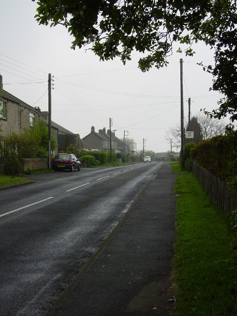
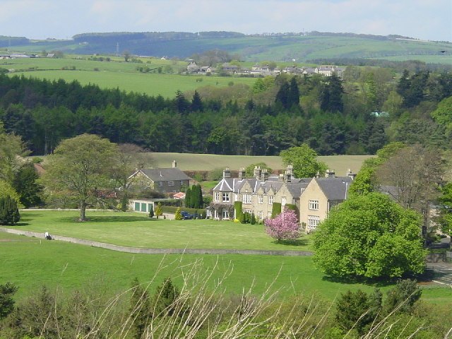
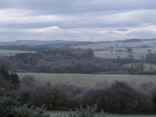
Click-em-in Dene is a picturesque valley located in Northumberland, England. Situated in the North Pennines Area of Outstanding Natural Beauty, this stunning landscape offers visitors a tranquil and scenic retreat.

The name "Click-em-in Dene" is derived from the local dialect, referring to the sound of the water that flows through the dene, or valley. The valley is formed by a small river, which meanders through the area, creating a series of cascades and waterfalls that add to its natural beauty.

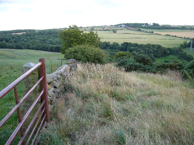
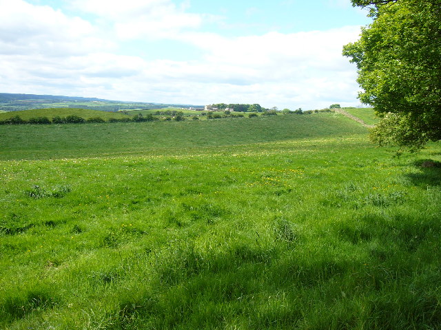
Surrounded by lush greenery, Click-em-in Dene is a haven for nature lovers and wildlife enthusiasts. The valley is home to a diverse range of plant and animal species, including rare birds, butterflies, and wildflowers. It is also known for its ancient woodlands, which provide a habitat for various woodland creatures.

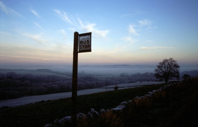
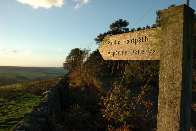
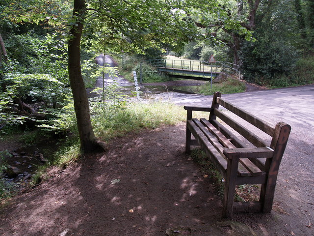
The valley offers numerous walking trails and paths, allowing visitors to explore its natural wonders at their own pace. The trails vary in difficulty, catering to all levels of fitness and offering breathtaking views of the surrounding countryside. There are also picnic areas and benches scattered throughout the valley, inviting visitors to relax and soak in the tranquility of the surroundings.

Click-em-in Dene is a popular destination for photographers, artists, and nature enthusiasts seeking inspiration. The changing seasons bring different colors to the valley, making it a captivating sight year-round. Autumn brings a stunning display of vibrant foliage, while spring showcases a tapestry of wildflowers.

In conclusion, Click-em-in Dene is a hidden gem in Northumberland, offering a peaceful and idyllic escape amidst nature's splendor. Whether you are seeking a leisurely stroll, a picnic spot, or a chance to immerse yourself in the beauty of the natural world, Click-em-in Dene is a must-visit destination.

If you have any feedback on the listing, please let us know in the comments section below.

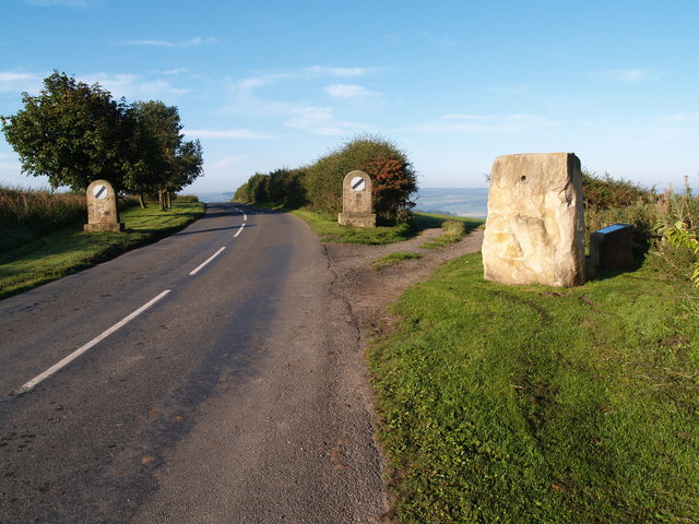
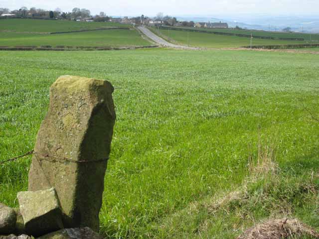
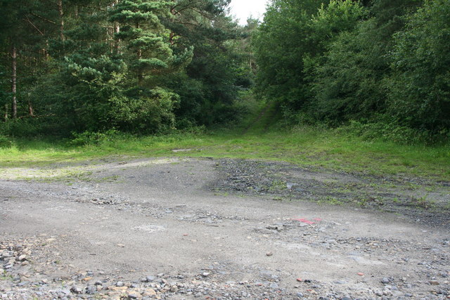
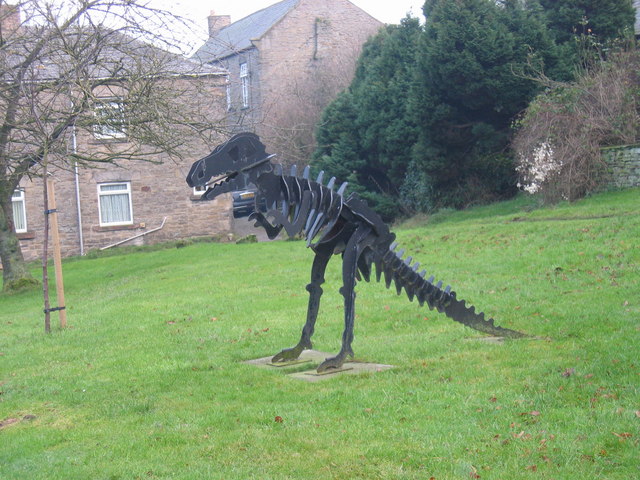
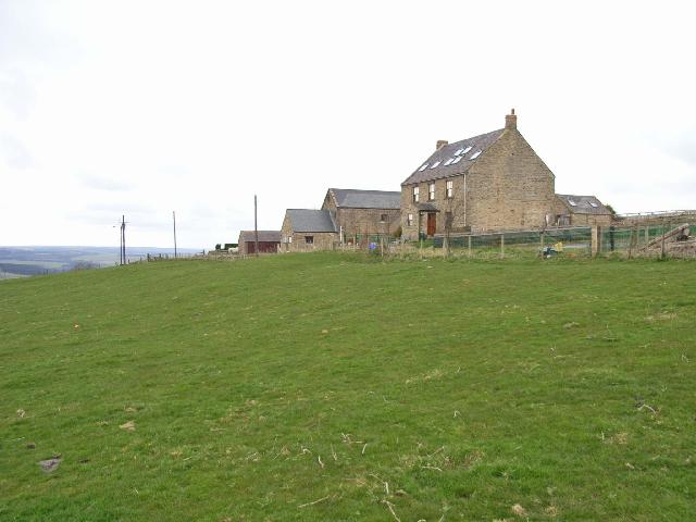
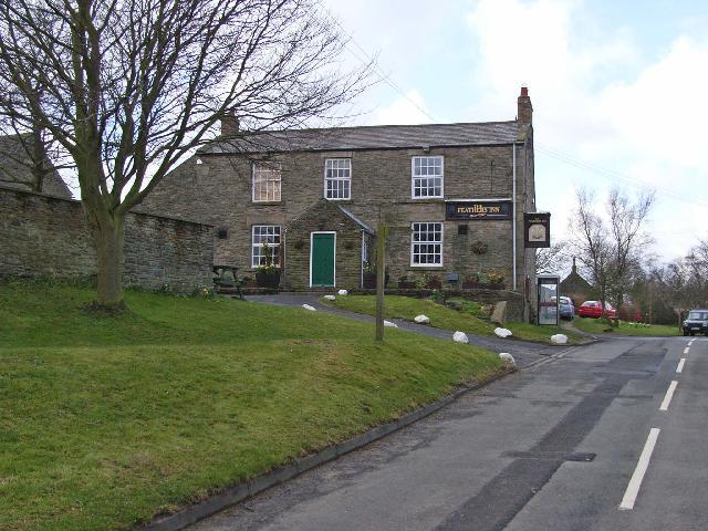
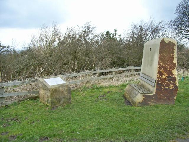
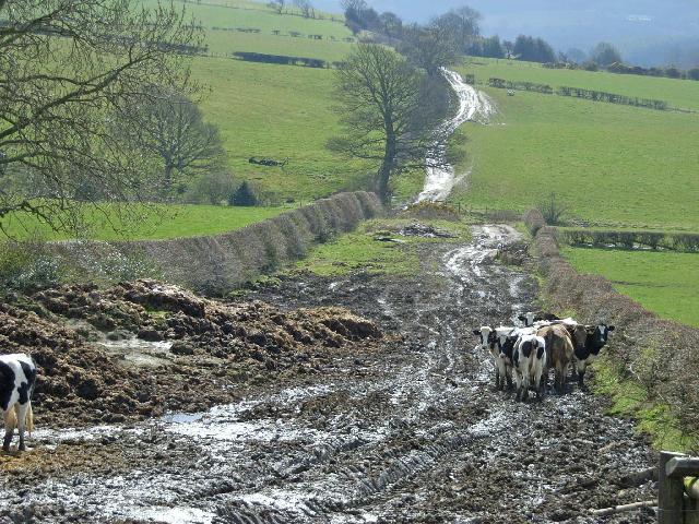
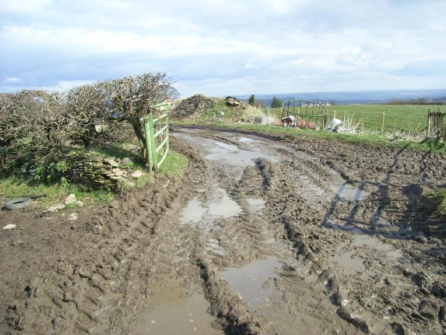
Click-em-in Dene Images

Images are sourced within 2km of 54.935473/-1.8942619 or Grid Reference NZ0660. Thanks to Geograph Open Source API. All images are credited.

New Ridley village, not looking its best.
Hindley from Bale Hill
Bus Stop, New Ridley
Whittonstall Village from Apperley Fell Looking south east towards Whittonstall Village from Apperley Fell.
Whittonstall Village from Apperley Fell
Looking south east towards Whittonstall Village from Apperley Fell.
Apperley Fell Farmland Fields adjacent to Apperley Fell from below Hedley Grange Wood.
Apperley Fell Farmland
Fields adjacent to Apperley Fell from below Hedley Grange Wood.
View over Apperley Bank
Foot Bridge and Ford on Batt House Road
Stocksfield Golf Club and Course
Hedley on the Hill village limits and Millennium Stone The road climbs up the steep hill from Stocksfield and enters the village from the west. The Millennium Stone has a seat on the other side for those wanting to enjoy the grand view of the Tyne valley.
Hedley on the Hill village limits and Millennium Stone
The road climbs up the steep hill from Stocksfield and enters the village from the west. The Millennium Stone has a seat on the other side for those wanting to enjoy the grand view of the Tyne valley.
Hedley on the Hill A village perched perched high on the crest of the ridge between the Derwent valley and Tynedale at an altitudeof about 240 metres.
Hedley on the Hill
A village perched perched high on the crest of the ridge between the Derwent valley and Tynedale at an altitudeof about 240 metres.
Site of loading bay for old Coal drift A wide spot in the road is about all that remains to mark the site of one of Durham's many old coal drifts.
Site of loading bay for old Coal drift
A wide spot in the road is about all that remains to mark the site of one of Durham's many old coal drifts.
Woodland near Apperley Dene
T-Rex, Hedley on the Hill
Hedley Grange Farm Farm stands high on the hillside, just below Hedley-on-the-Hill village.
Hedley Grange Farm
Farm stands high on the hillside, just below Hedley-on-the-Hill village.
The Feathers Public house in the dramatically sited village of Hedley-on-the-Hill. The name the Feathers derives from the feathers on the plumes of the horses used to carry lead ore from the mines at Allendale to the smelters at Blaydon. Hedley was an overnight stop on the "Lead road" in the 19th century.
The Feathers
Public house in the dramatically sited village of Hedley-on-the-Hill. The name the Feathers derives from the feathers on the plumes of the horses used to carry lead ore from the mines at Allendale to the smelters at Blaydon. Hedley was an overnight stop on the "Lead road" in the 19th century.
Hedley-on-the-Hill Millennium Stone A seat has been factored in to the Millennium Stone which stands at the western end of the village. An interpretive plaque stands close by. From the seat, dramatic views of the Tyne valley and of Northumberland can be seen.
Hedley-on-the-Hill Millennium Stone
A seat has been factored in to the Millennium Stone which stands at the western end of the village. An interpretive plaque stands close by. From the seat, dramatic views of the Tyne valley and of Northumberland can be seen.
Footpath below Hedley-on-the-Hill This footpath running from Hedley-on-the-Hill to Spring House has been rendered virtually impassable by cattle.
Footpath below Hedley-on-the-Hill
This footpath running from Hedley-on-the-Hill to Spring House has been rendered virtually impassable by cattle.
Farm road at Hedley-on-the-Hill Extremely muddy going
Farm road at Hedley-on-the-Hill
Extremely muddy going
Show me another place!

Click-em-in Dene is located at Grid Ref: NZ0660 (Lat: 54.935473, Lng: -1.8942619)

Unitary Authority: Northumberland

Police Authority: Northumbria

What 3 Words

///polka.custom.edges. Near Stocksfield, Northumberland

Related Wikis

Painshawfield Estate

The Painshawfield, Batt House and Birches Nook Estate is a housing estate in the village of Stocksfield in Northumberland, England. It is commonly known...

Hedley on the Hill

Hedley on the Hill is a village in Northumberland, England. It is located between the valley of the River Derwent, and the watershed to the River Tyne...

New Ridley

New Ridley is a hamlet in the county of Northumberland, England. It is in the parish of Stocksfield and the parliamentary constituency of Hexham. It is...

Branch End

Branch End is part of the village of Stocksfield in Northumberland, England. It is situated at the junction of the A695 Main Road with New Ridley Road...

Nearby Amenities

Located within 500m of 54.935473,-1.8942619
Barrier: stile
Lat/Long: 54.9371487/-1.895964
Man Made: tower
Tower Type: communication
Lat/Long: 54.9335159/-1.8934464
Barrier: stile
Lat/Long: 54.9363704/-1.8929845
Noexit: yes
Lat/Long: 54.9368981/-1.8966335
Noexit: yes
Lat/Long: 54.9363152/-1.8965059
Noexit: yes
Lat/Long: 54.9360471/-1.8967714
Noexit: yes
Lat/Long: 54.936571/-1.8961733
Noexit: yes
Lat/Long: 54.9384184/-1.8950977
Noexit: yes
Lat/Long: 54.9361595/-1.8966549
Noexit: yes
Lat/Long: 54.9361348/-1.8965181
Noexit: yes
Lat/Long: 54.9367711/-1.8960611
Noexit: yes
Lat/Long: 54.9364152/-1.8963937
Noexit: yes
Lat/Long: 54.9364482/-1.896389
Generator Method: photovoltaic
Generator Output Electricity: yes
Generator Source: solar
Generator Type: solar_photovoltaic_panel
Location: roof
Power: generator
Lat/Long: 54.9386425/-1.897787
The data included in this document is from www.openstreetmap.org. The data is made available under ODbL.

Have you been to Click-em-in Dene?

Leave your review of Click-em-in Dene below (or comments, questions and feedback).