Painsthorpe
Settlement in Yorkshire
England
Painsthorpe
Painsthorpe is a small village located in the county of Yorkshire, England. Situated approximately 10 miles east of the city of York, Painsthorpe is nestled in the beautiful countryside and surrounded by rolling hills and picturesque landscapes. The village falls within the administrative district of Ryedale.
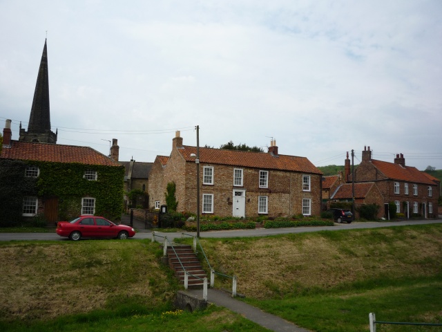
With a population of just over 200 residents, Painsthorpe retains its charm and tranquility, providing a peaceful retreat from the hustle and bustle of city life. The village is characterized by its traditional stone-built houses, which add to its rustic and idyllic atmosphere.
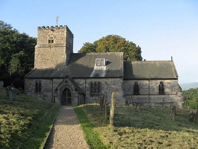
Painsthorpe is renowned for its rich history, dating back to the medieval period. The village features a beautiful Norman church, St. Mary's, which stands as a testament to its historical significance. The church boasts stunning architectural details and houses several notable artifacts.
The village offers limited amenities, including a local pub, The Black Bull Inn, which serves as a social hub for both residents and visitors. Painsthorpe also benefits from its proximity to the nearby town of Malton, which provides a wider range of services and amenities, including schools, shops, and recreational facilities.
The surrounding countryside provides ample opportunities for outdoor activities, such as hiking, cycling, and horse riding. Painsthorpe's location also makes it an ideal base for exploring the nearby attractions, including the North York Moors National Park and the historic city of York.
Overall, Painsthorpe offers a peaceful and picturesque setting, steeped in history and surrounded by natural beauty, making it an attractive destination for those seeking a tranquil retreat in the heart of Yorkshire.
If you have any feedback on the listing, please let us know in the comments section below.
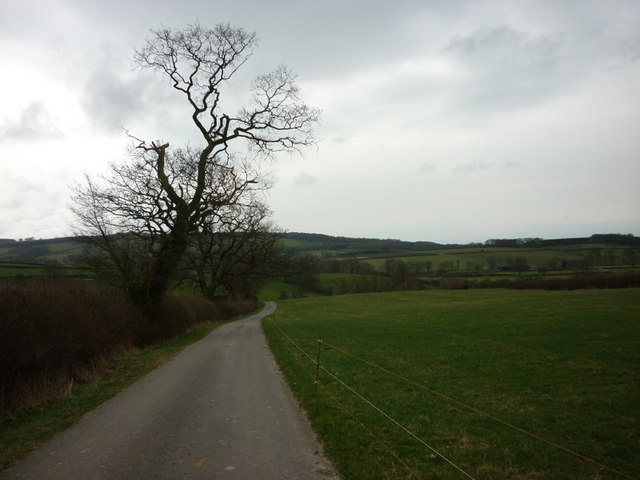
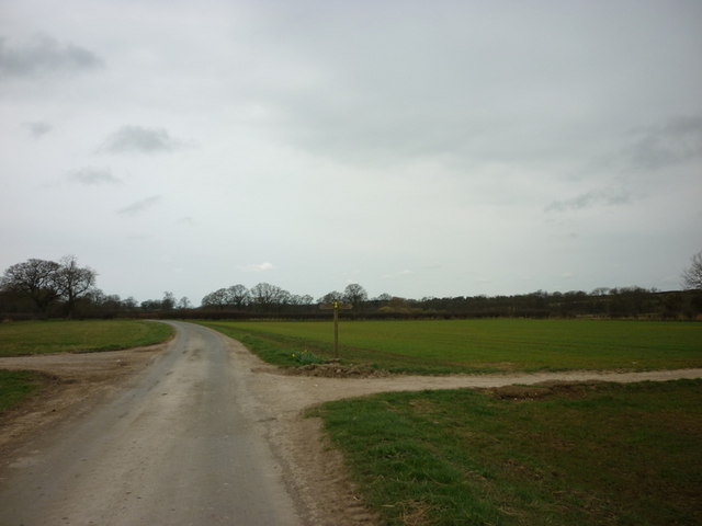
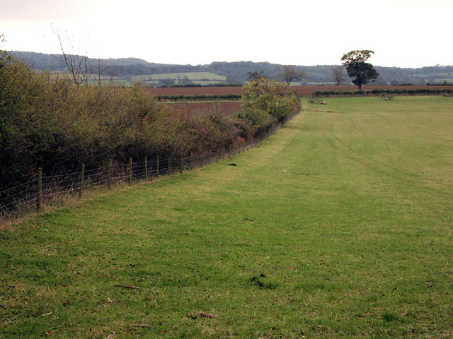
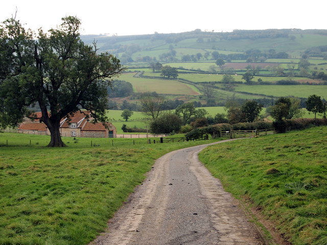
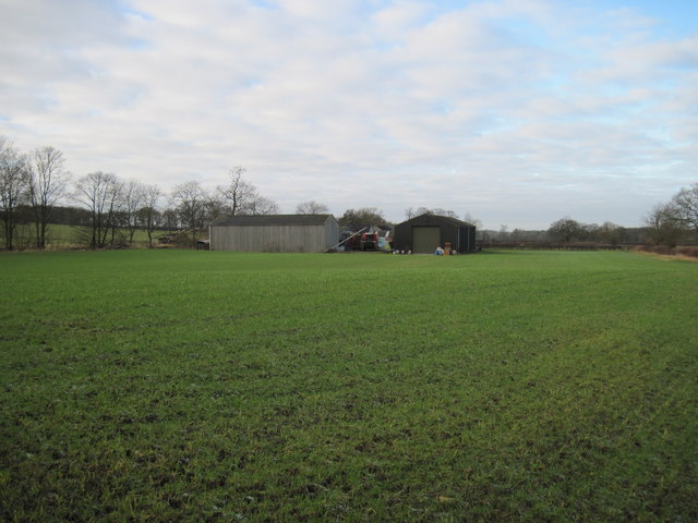
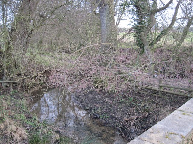
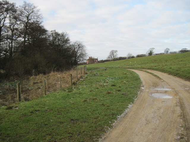
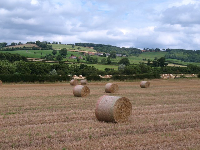
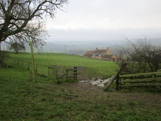
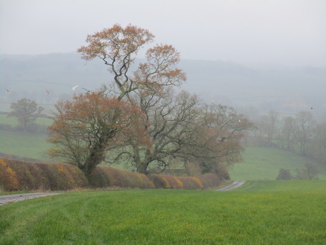
Painsthorpe Images
Images are sourced within 2km of 54.014696/-0.762432 or Grid Reference SE8158. Thanks to Geograph Open Source API. All images are credited.


Painsthorpe is located at Grid Ref: SE8158 (Lat: 54.014696, Lng: -0.762432)
Division: East Riding
Unitary Authority: East Riding of Yorkshire
Police Authority: Humberside
What 3 Words
///skillet.suppers.ranged. Near Kirby Underdale, East Yorkshire
Nearby Locations
Related Wikis

Painsthorpe Abbey
Painsthorpe Abbey was a short-lived monastery of the Anglican Order of St. Benedict. It was established in 1902 at Painsthorpe in the East Riding of Yorkshire...

Painsthorpe
Painsthorpe is a hamlet in the East Riding of Yorkshire, England. It is located about 1 mile (1.6 km) east of the village of Kirby Underdale, the area...
Kirby Underdale
Kirby Underdale is a village and civil parish in the East Riding of Yorkshire, England. It is situated approximately six miles (ten kilometres) north...

Uncleby
Uncleby is a hamlet in the East Riding of Yorkshire, England. It forms part of the civil parish of Kirby Underdale. It is situated approximately 6.5 miles...

Bishop Wilton Wold
Bishop Wilton Wold is the highest point of the Yorkshire Wolds in the East Riding of Yorkshire, England. The summit, known as Garrowby Hill, lies about...
Garrowby
Garrowby is a hamlet in the East Riding of Yorkshire, England. It is situated approximately 5 miles (8 km) north of Pocklington town centre. It lies to...
Bishop Wilton
Bishop Wilton is a small village and civil parish in the East Riding of Yorkshire, England. It is situated approximately 4 miles (6 km) north of Pocklington...

Minster FM
Minster FM was an Independent Local Radio station serving York and the surrounding areas such as Selby, Tadcaster, Thirsk, Northallerton and Goole. The...
Nearby Amenities
Located within 500m of 54.014696,-0.762432Have you been to Painsthorpe?
Leave your review of Painsthorpe below (or comments, questions and feedback).