Billingford
Settlement in Norfolk South Norfolk
England
Billingford

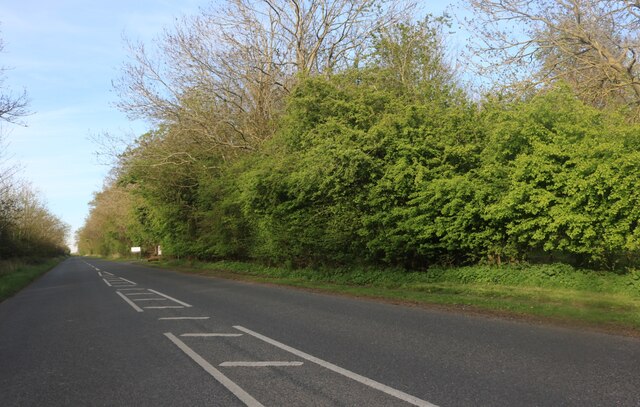
Billingford is a small village located in the county of Norfolk, England. Situated approximately 20 miles northwest of Norwich, it falls within the South Norfolk district. The village is nestled in a picturesque rural setting, surrounded by open fields and rolling countryside, making it an attractive destination for those seeking a peaceful retreat.
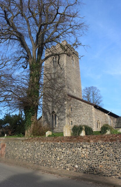
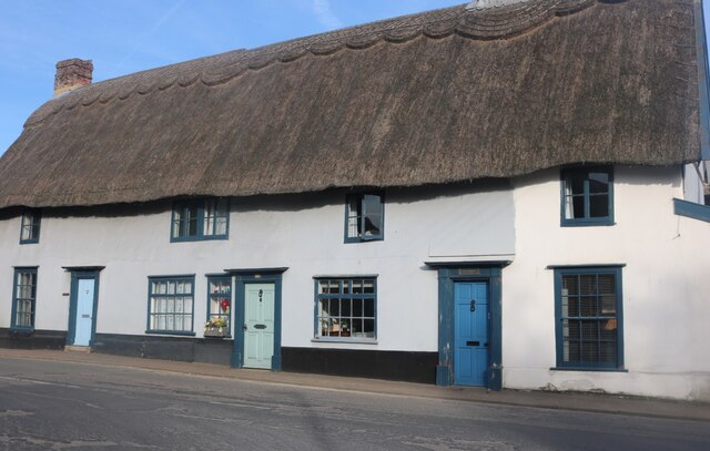
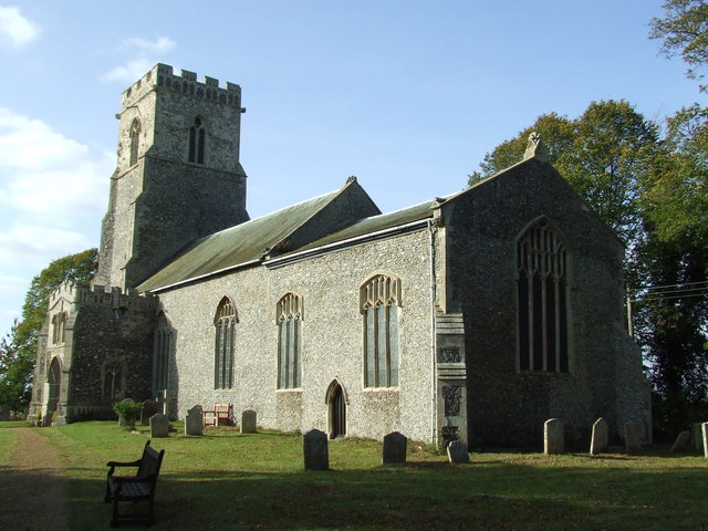
Although small in size, Billingford boasts a rich history that dates back centuries. The village is mentioned in the Domesday Book of 1086, highlighting its longstanding presence in the region. Its historic charm is reflected in the traditional architecture of the buildings, including a 13th-century church, St. Leonard's, which stands as a prominent feature in the village.
Despite its rural nature, Billingford is well-connected to nearby towns and cities. The village is conveniently located near the A143, providing easy access to Diss, a market town just 5 miles away, and other major towns in Norfolk. The village also benefits from a regular bus service, ensuring residents have access to transportation options.
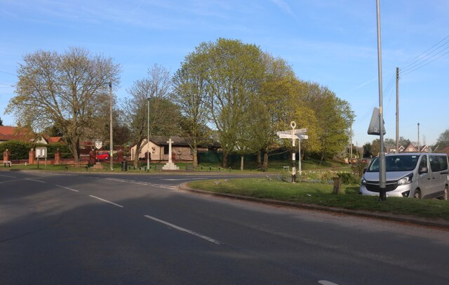
While Billingford may have a small population, the community spirit is strong. The village is home to a local pub, The Fox and Hounds, serving as a social hub for residents and visitors alike. Additionally, the village hosts various events throughout the year, including summer fairs and community gatherings, fostering a sense of togetherness.
With its idyllic countryside setting, rich history, and close-knit community, Billingford offers a tranquil and welcoming atmosphere for residents and visitors seeking a taste of rural Norfolk.
If you have any feedback on the listing, please let us know in the comments section below.
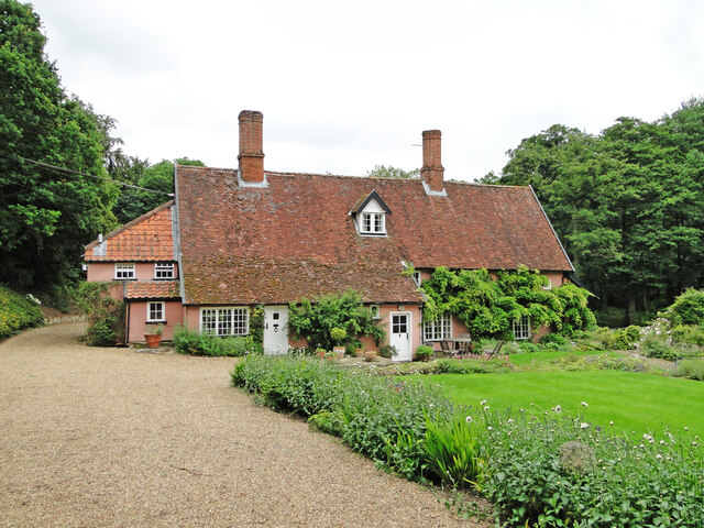
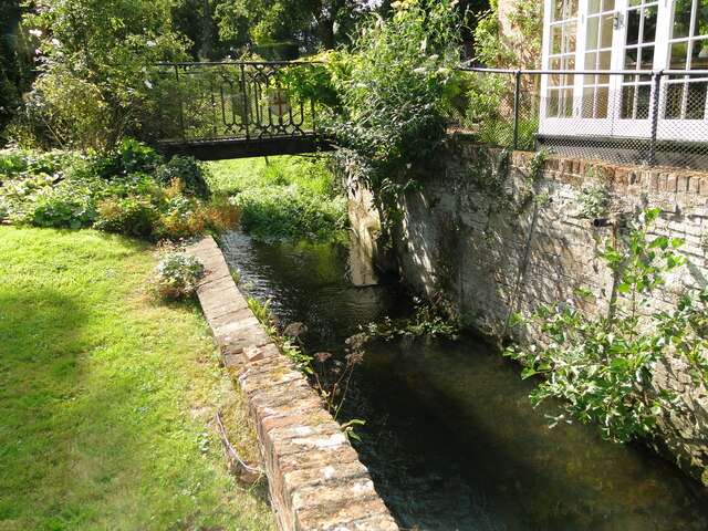
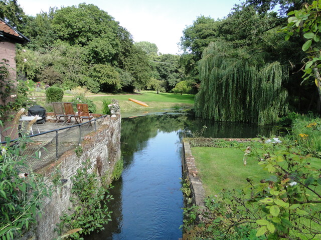
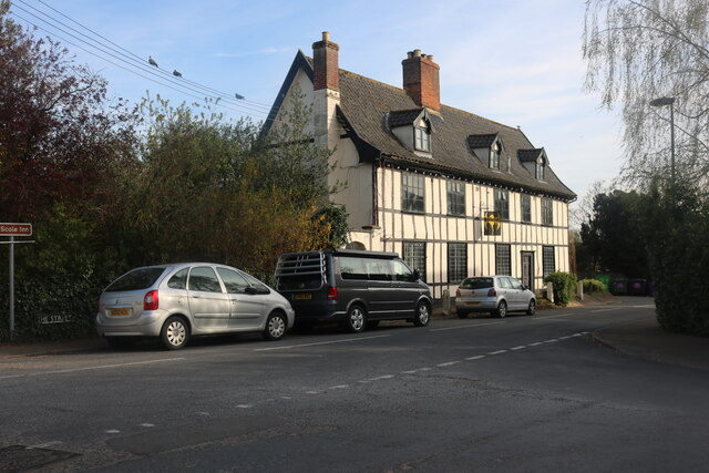
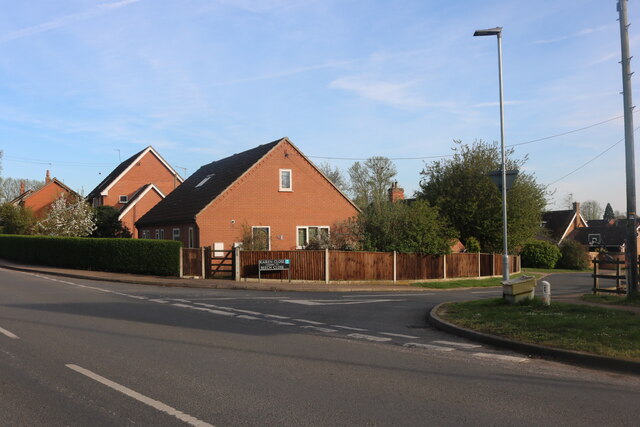
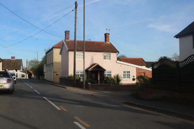
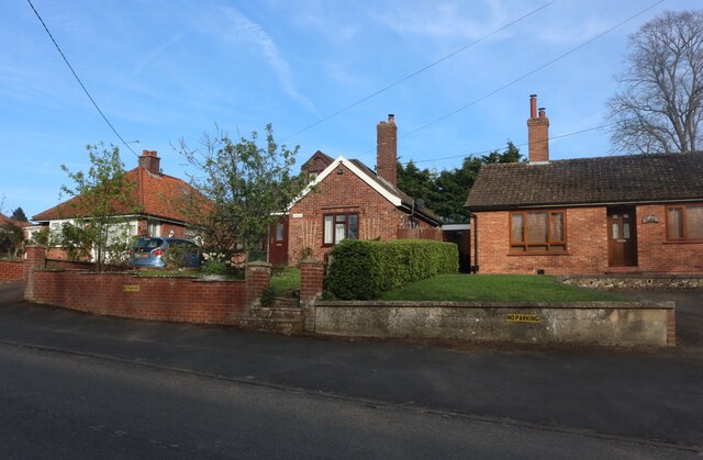
Billingford Images
Images are sourced within 2km of 52.364772/1.182184 or Grid Reference TM1678. Thanks to Geograph Open Source API. All images are credited.


Billingford is located at Grid Ref: TM1678 (Lat: 52.364772, Lng: 1.182184)
Administrative County: Norfolk
District: South Norfolk
Police Authority: Norfolk
What 3 Words
///panther.ranking.hobbyists. Near Scole, Norfolk
Nearby Locations
Related Wikis

Dickleburgh and Rushall
Dickleburgh and Rushall is a civil parish in South Norfolk. It covers an area of 14.90 km2 (5.75 sq mi) and had a population of 1356 in 565 households...
Billingford, South Norfolk
Billingford or Pirleston is a village and former civil parish, 19 miles (31 km) south of Norwich, now in the parish of Scole, in the South Norfolk district...
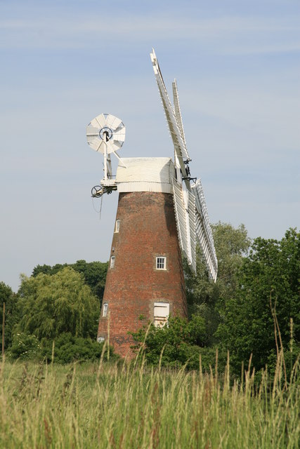
Billingford Windmill
Billingford Windmill is a grade II* listed brick tower mill at Billingford near Diss, Norfolk, England which has been preserved and restored to working...
Oakley, Suffolk
Oakley is a village and former civil parish in the Mid Suffolk district, in the north of the English county of Suffolk. It lies immediately to the south...
Nearby Amenities
Located within 500m of 52.364772,1.182184Have you been to Billingford?
Leave your review of Billingford below (or comments, questions and feedback).