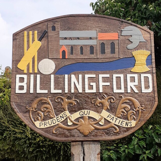
Billingford

Settlement in Norfolk Breckland

England

Billingford

North Elmham: Water buffalo in Black Water
North Elmham: Water buffalo in Black Water Credit: Michael Garlick

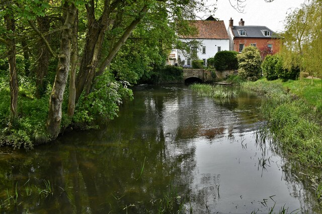
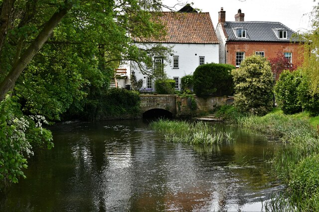
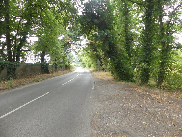
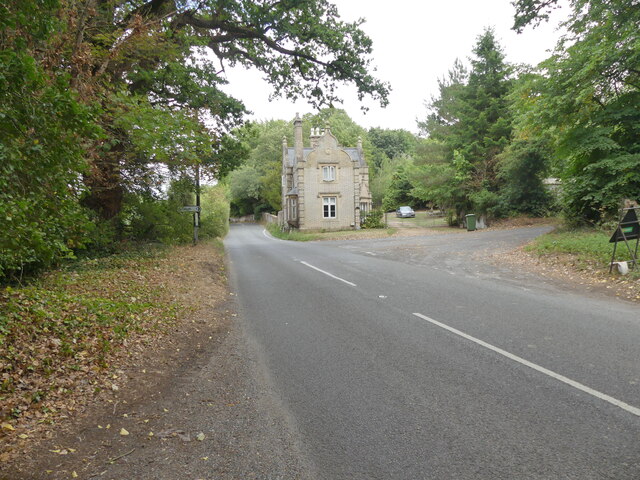
Billingford is a small village located in the county of Norfolk, in eastern England. Situated about 15 miles north of the city of Norwich, it falls within the district of Broadland. The village is nestled in a picturesque rural setting, surrounded by beautiful countryside and farmland.

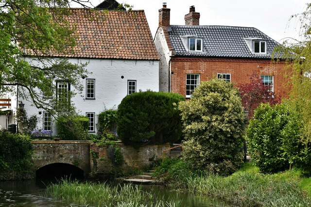
With a population of around 300 residents, Billingford exudes a quaint and tranquil atmosphere. The village is characterized by its charming thatched cottages, traditional brick houses, and well-maintained gardens. The local community takes pride in preserving the village's historic character and maintaining its natural beauty.

Billingford is home to St. Leonard's Church, a Grade II listed building dating back to the 14th century. The church's architecture showcases notable features such as a medieval rood screen and stained glass windows, attracting both locals and visitors interested in history and architecture.

Although small in size, the village has some amenities to offer its residents. These include a village hall, where various community events and gatherings take place, and a pub that serves as a social hub for locals and visitors alike.

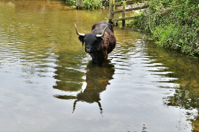
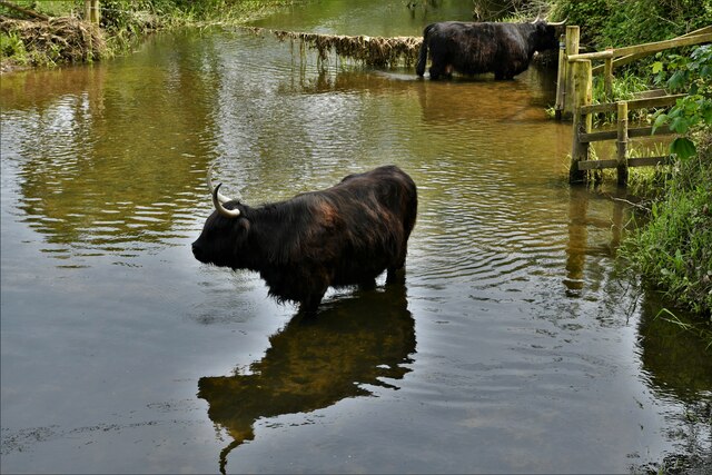
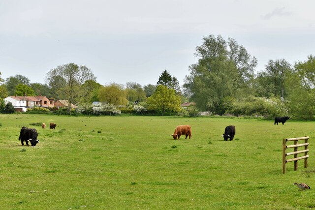
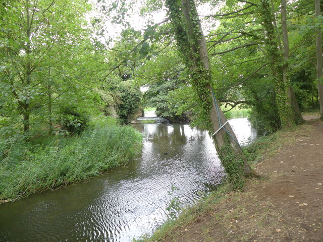
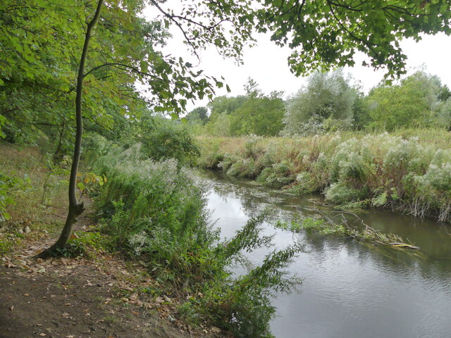
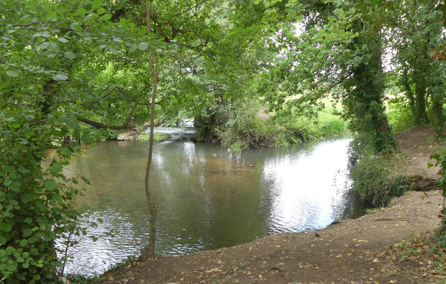
The surrounding countryside provides ample opportunities for outdoor activities such as walking, cycling, and horse riding. The village's proximity to the River Wensum also makes it an attractive destination for fishing enthusiasts.

Overall, Billingford is a peaceful and picturesque village that offers a welcome escape from the hustle and bustle of modern life, while still providing a sense of community and access to beautiful natural surroundings.

If you have any feedback on the listing, please let us know in the comments section below.
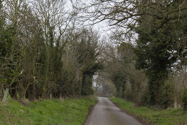
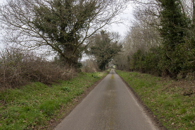
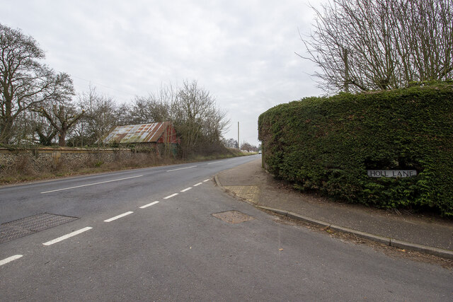
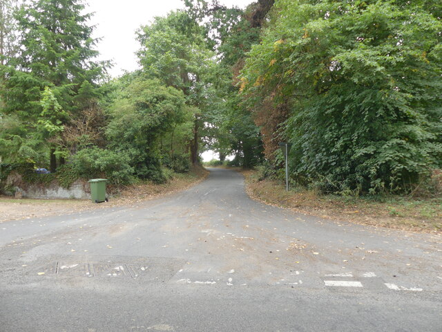
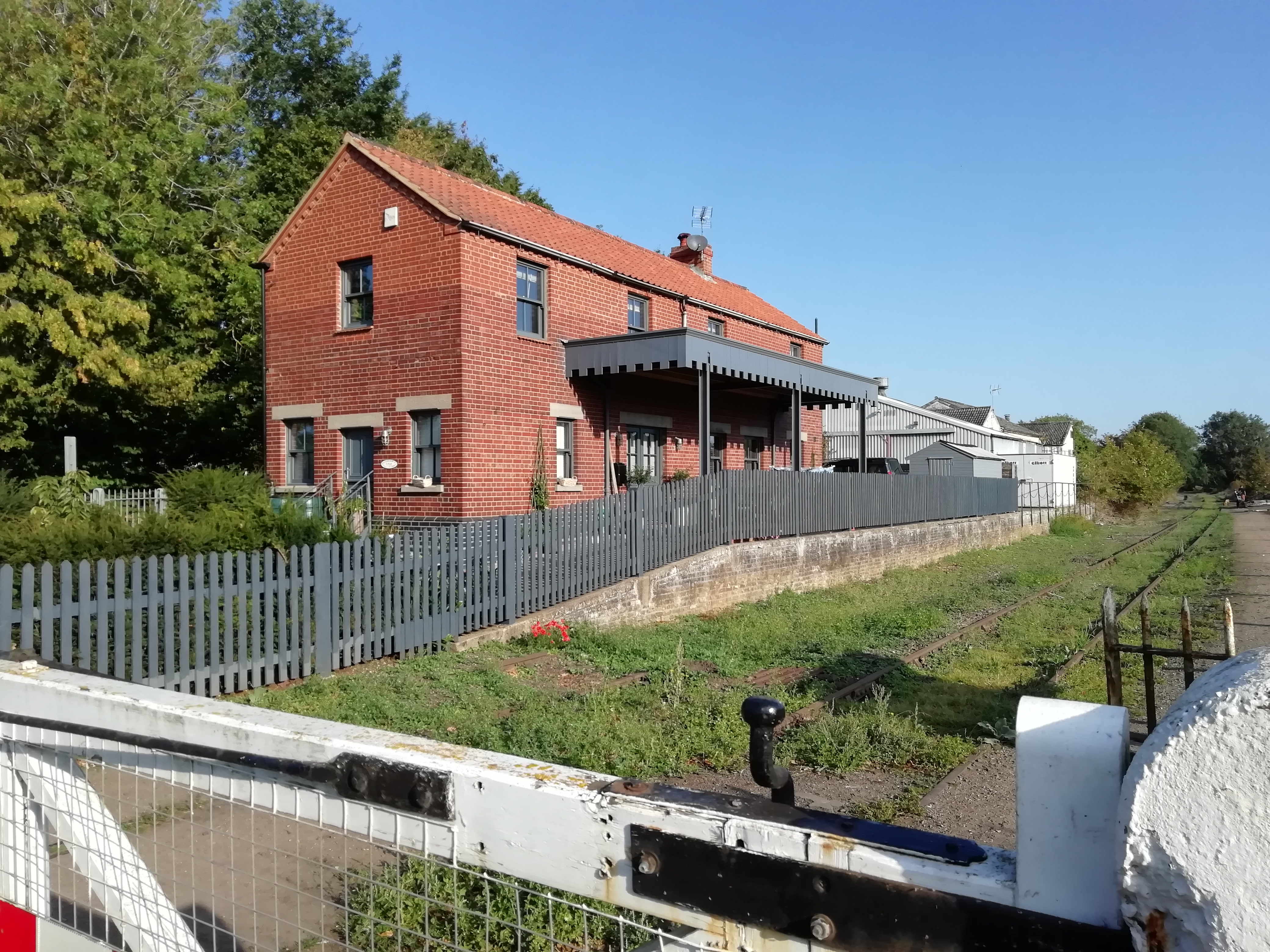
Billingford Images

Images are sourced within 2km of 52.742696/0.98166384 or Grid Reference TG0120. Thanks to Geograph Open Source API. All images are credited.

North Elmham: Water buffalo in Black Water
North Elmham: Mill house
North Elmham: Water buffalo grazing
North Elmham: The Worthing Road, Billingford Road junction
Bawdeswell Heath Car park at Bawdeswell Heath
Bawdeswell Heath
Car park at Bawdeswell Heath
Slad Lane Slad Lane with junction with Dereham Road in the distance.
Slad Lane
Slad Lane with junction with Dereham Road in the distance.
Slad Lane Hedgerows and hedgerow trees on Slad Lane
Slad Lane
Hedgerows and hedgerow trees on Slad Lane
Holl Lane Junction of Holl Lane and The Street
Holl Lane
Junction of Holl Lane and The Street
Billingford St Peter's village sign, repainted The church of St Peter is prominent, top centre with village cricket and football clubs recognised. A Roman helmet tells of the Roman settlement just outside the village centre. The River Wensum is represented by the blue below the church. The wheat-sheaf is symbolic of the agricultural heritage of the parish. Below the name is a motto which translated means “The prudent man is patient”. It is a reference to the Lord of the Manor which was purchased from Thomas Curson of Bylaugh in 1606 by Sir Edward Coke, Earl of Leicester, of Holkham Hall.
Billingford St Peter's village sign, repainted
The church of St Peter is prominent, top centre with village cricket and football clubs recognised. A Roman helmet tells of the Roman settlement just outside the village centre. The River Wensum is represented by the blue below the church. The wheat-sheaf is symbolic of the agricultural heritage of the parish. Below the name is a motto which translated means “The prudent man is patient”. It is a reference to the Lord of the Manor which was purchased from Thomas Curson of Bylaugh in 1606 by Sir Edward Coke, Earl of Leicester, of Holkham Hall.
Weir on River Wensum
Southerly view of River Wensum near Mill Street
Mill Street in Dereham direction
Dereham Road junction with Bylaugh Road
Bylaugh Road
Bylaugh Road
Confluence of stream and river
Show me another place!

Billingford is located at Grid Ref: TG0120 (Lat: 52.742696, Lng: 0.98166384)

Administrative County: Norfolk

District: Breckland

Police Authority: Norfolk

What 3 Words

///initiates.staring.embodied. Near North Elmham, Norfolk

Nearby Locations

Billingford

Related Wikis

Nearby Amenities

Located within 500m of 52.742696,0.98166384
Bus Stop
Post Office, adj
Naptan AtcoCode: 2900B272
Naptan Bearing: SW
Naptan BusStopType: CUS
Naptan CommonName: Post Office
Naptan Indicator: adj
Naptan Landmark: opp Holl Lane
Naptan Locality: Billingford
Naptan NaptanCode: nfoadwgw
Naptan ShortCommonName: post office
Naptan Street: The Street
Naptan Verified: no
Source: naptan_import
Lat/Long: 52.74296/0.9841541
Bus Stop
Festival Road, adj
Naptan AtcoCode: 2900B273
Naptan Bearing: SW
Naptan BusStopType: CUS
Naptan CommonName: Festival Road
Naptan Indicator: adj
Naptan Landmark: Festival Road
Naptan Locality: Billingford
Naptan NaptanCode: nfoadwja
Naptan ShortCommonName: Festival Rd
Naptan Street: The Street
Naptan Verified: no
Source: naptan_import
Lat/Long: 52.7433864/0.9879324
Bus Stop
Post Office, opp
Naptan AtcoCode: 2900B274
Naptan Bearing: NE
Naptan BusStopType: CUS
Naptan CommonName: Post Office
Naptan Indicator: opp
Naptan Landmark: Holl Lane
Naptan Locality: Billingford
Naptan NaptanCode: nfoadwjd
Naptan ShortCommonName: post office
Naptan Street: The Street
Naptan Verified: no
Source: naptan_import
Lat/Long: 52.7430329/0.9841146
Bus Stop
Festival Road, opp
Naptan AtcoCode: 2900B275
Naptan Bearing: NE
Naptan BusStopType: CUS
Naptan CommonName: Festival Road
Naptan Indicator: opp
Naptan Landmark: Festival Road
Naptan Locality: Billingford
Naptan NaptanCode: nfoadwjg
Naptan ShortCommonName: Festival Rd
Naptan Street: The Street
Naptan Verified: no
Source: naptan_import
Lat/Long: 52.7434514/0.9874922
Billingford
Place: village
Lat/Long: 52.7437322/0.9833581
Entrance: main
Lat/Long: 52.7444795/0.9808021
Board Type: notice
Information: board
Tourism: information
Lat/Long: 52.7428649/0.9823772
Post Box
Post Box Type: lamp
Lat/Long: 52.7428417/0.9823953
Billingford
Inscription: Prudens qui patiens
Man Made: village_sign
Material: metal
Lat/Long: 52.7428401/0.9823168
Barrier: cycle_barrier
Foot: yes
Lat/Long: 52.7429911/0.9835795
Leisure: playground
Lat/Long: 52.7433021/0.9831637
Bench
Backrest: yes
Seats: 3
Lat/Long: 52.7432574/0.9831087
Bench
Backrest: yes
Seats: 3
Lat/Long: 52.7432095/0.9824771
Note: There is a new fingerpost for the PRoW here though it may be that walkers are still not welcome.
Lat/Long: 52.7431109/0.9845477
Entrance: yes
Lat/Long: 52.7446247/0.980853
Disused Entrance: yes
Lat/Long: 52.7445545/0.9811718
The data included in this document is from www.openstreetmap.org. The data is made available under ODbL.

Have you been to Billingford?

Leave your review of Billingford below (or comments, questions and feedback).