Billingford Common
Downs, Moorland in Norfolk South Norfolk
England
Billingford Common
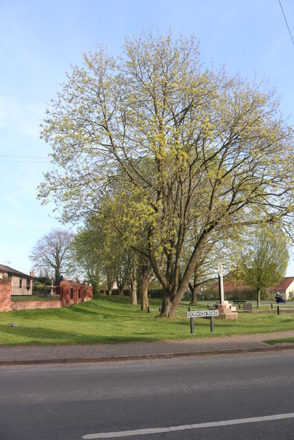
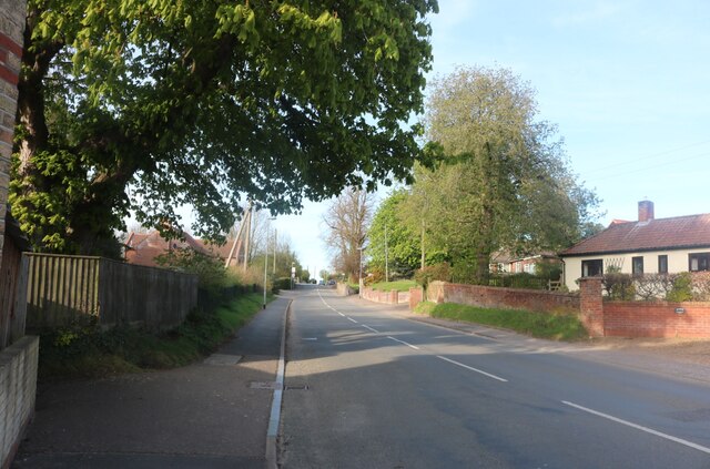
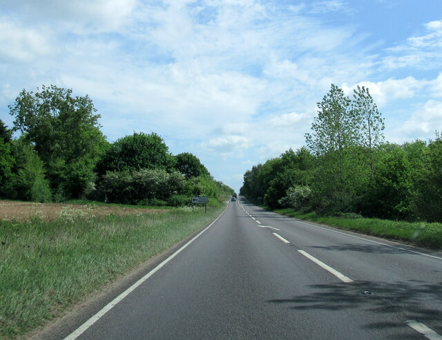
Billingford Common is a picturesque area located in the county of Norfolk in England. Covering an expansive area, it consists of a diverse landscape that includes downs, moorland, and other natural features. The common is situated near the village of Billingford and is easily accessible by road.
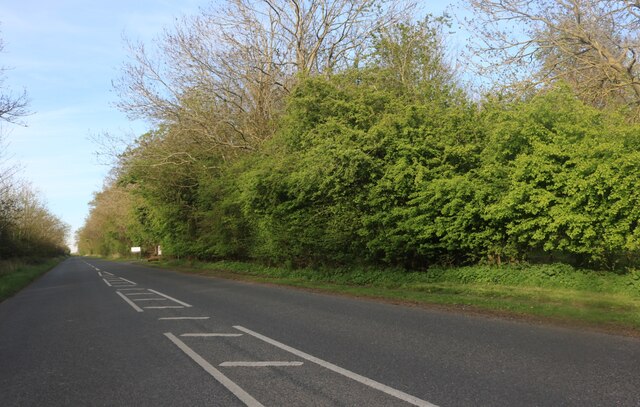
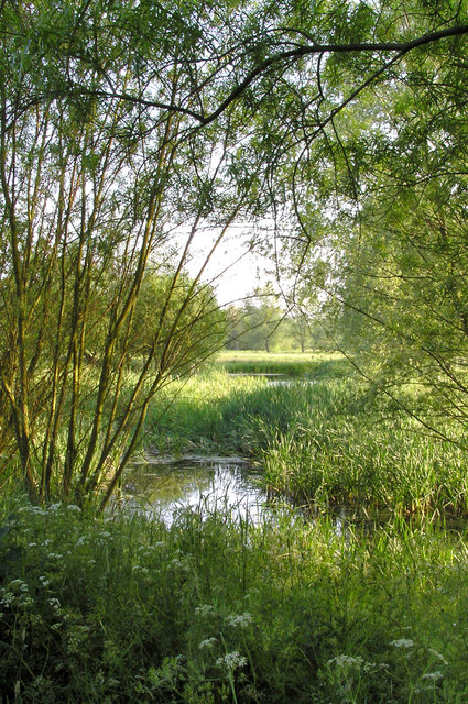
The downs in Billingford Common are characterized by their rolling hills and open grassy areas, offering stunning views of the surrounding countryside. These downs provide a habitat for a variety of plant and animal species, including wildflowers, butterflies, and birds. The moorland, on the other hand, consists of wet and boggy areas with heather and moss-covered ground. This unique landscape is home to rare plants, such as carnivorous sundews and cotton grass.
Billingford Common is a popular destination for nature enthusiasts and walkers due to its tranquil atmosphere and beautiful scenery. The common is crisscrossed by a network of footpaths and trails that allow visitors to explore and appreciate its natural wonders. Additionally, the common offers opportunities for birdwatching, with several species of birds, including kestrels and skylarks, frequently spotted in the area.
The common is managed by local conservation organizations, ensuring the preservation of its natural beauty and biodiversity. Visitors are encouraged to follow the designated paths and respect the wildlife and vegetation found in Billingford Common. With its stunning downs, moorland, and diverse flora and fauna, Billingford Common is a must-visit destination for anyone seeking to experience the natural beauty of Norfolk.
If you have any feedback on the listing, please let us know in the comments section below.
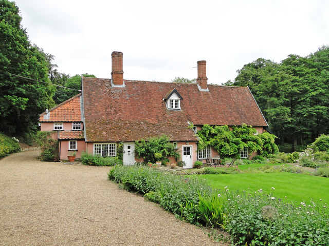
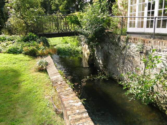
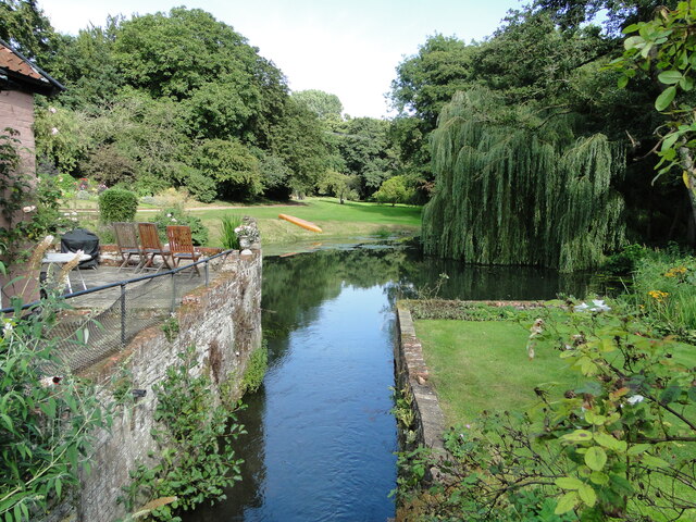
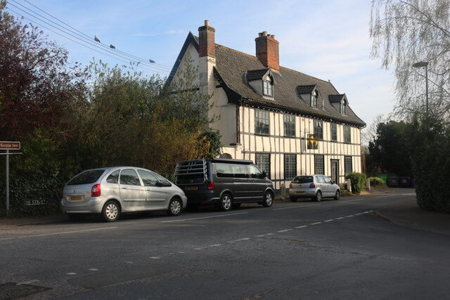
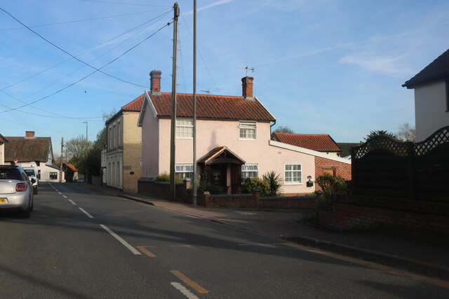
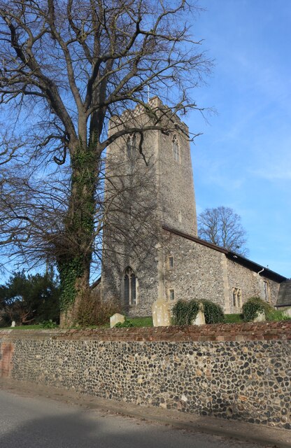
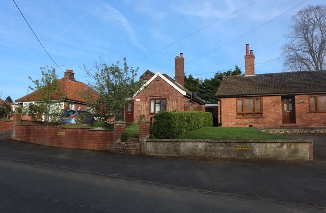
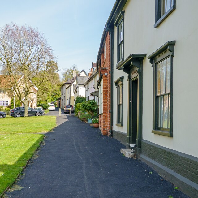
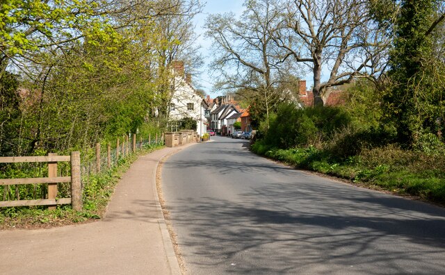
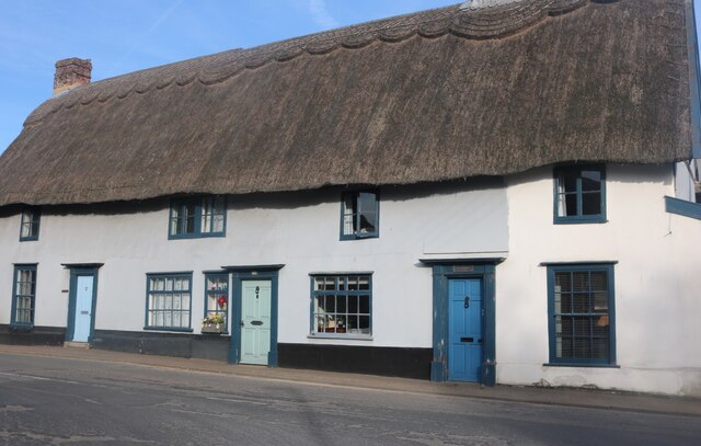
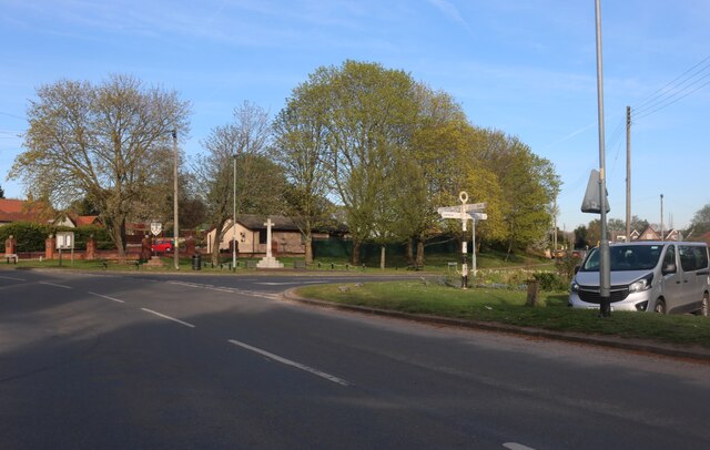
Billingford Common Images
Images are sourced within 2km of 52.361437/1.1821984 or Grid Reference TM1678. Thanks to Geograph Open Source API. All images are credited.


Billingford Common is located at Grid Ref: TM1678 (Lat: 52.361437, Lng: 1.1821984)
Administrative County: Norfolk
District: South Norfolk
Police Authority: Norfolk
What 3 Words
///thickened.steadily.slicing. Near Scole, Norfolk
Nearby Locations
Related Wikis
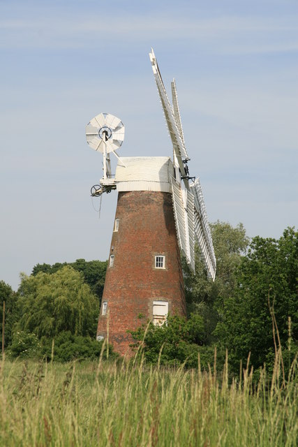
Billingford Windmill
Billingford Windmill is a grade II* listed brick tower mill at Billingford near Diss, Norfolk, England which has been preserved and restored to working...

Dickleburgh and Rushall
Dickleburgh and Rushall is a civil parish in South Norfolk. It covers an area of 14.90 km2 (5.75 sq mi) and had a population of 1356 in 565 households...
Billingford, South Norfolk
Billingford or Pirleston is a village and former civil parish, 19 miles (31 km) south of Norwich, now in the parish of Scole, in the South Norfolk district...
Oakley, Suffolk
Oakley is a village and former civil parish in the Mid Suffolk district, in the north of the English county of Suffolk. It lies immediately to the south...
River Dove, Suffolk
The River Dove is a river in the county of Suffolk. It is a tributary of the River Waveney starting near Bacton going through Eye to the Waveney. ��2...

Hoxne manor
Hoxne manor is an estate in Hoxne, Suffolk, England. It was originally a manor house belonging to East Anglian bishops. However following the dissolution...

Hoxne
Hoxne ( HOK-sən) is a village in the Mid Suffolk district of Suffolk, England, about five miles (8 km) east-southeast of Diss, Norfolk and 1⁄2 mile (800...

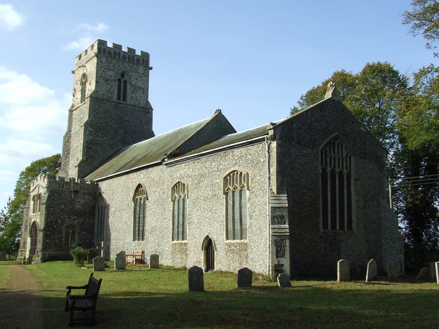
Scole
Scole () is a village on the Norfolk–Suffolk border in England. It is 19 miles south of Norwich and lay on the old Roman road to Venta Icenorum, which...
Nearby Amenities
Located within 500m of 52.361437,1.1821984Have you been to Billingford Common?
Leave your review of Billingford Common below (or comments, questions and feedback).