Coney Fur Wood
Wood, Forest in Norfolk South Norfolk
England
Coney Fur Wood

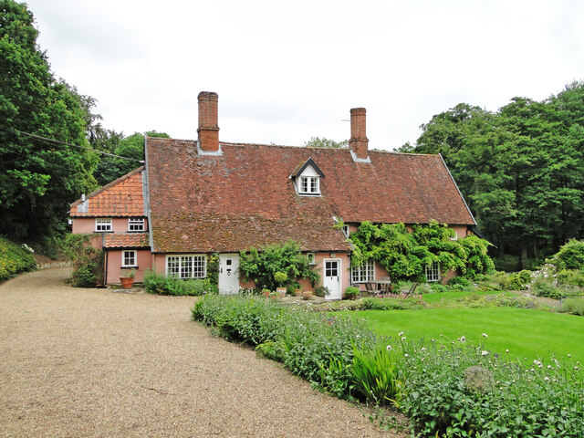
Coney Fur Wood, located in Norfolk, England, is a picturesque woodland area that spans over an approximate area of 50 hectares. Nestled within the scenic countryside, it is renowned for its natural beauty, making it a popular destination for nature enthusiasts and hikers alike.
The wood is predominantly composed of a diverse range of trees, including oak, beech, and pine, creating a rich and varied ecosystem. The dense canopy provides a sheltered habitat for a wide array of wildlife, such as deer, foxes, and various bird species, making it an ideal spot for wildlife observation.
Tranquility and serenity are key features of Coney Fur Wood, attracting visitors seeking a peaceful escape from the hustle and bustle of urban life. The wood offers numerous walking trails and footpaths, allowing visitors to explore the area at their own pace. These well-maintained paths wind through the wood, providing glimpses of its natural wonders and offering the chance to immerse oneself in the soothing sounds of nature.
In addition to its natural beauty, Coney Fur Wood also holds historical significance. The wood was once an important hunting ground for the local nobility during medieval times. Remnants of ancient boundaries and earthworks can still be seen, serving as a reminder of its past.
Overall, Coney Fur Wood is a tranquil haven, offering visitors the opportunity to connect with nature, explore its diverse flora and fauna, and experience the beauty of the Norfolk countryside.
If you have any feedback on the listing, please let us know in the comments section below.
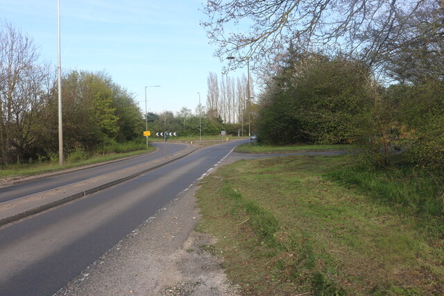
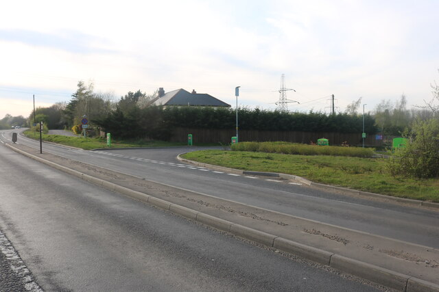
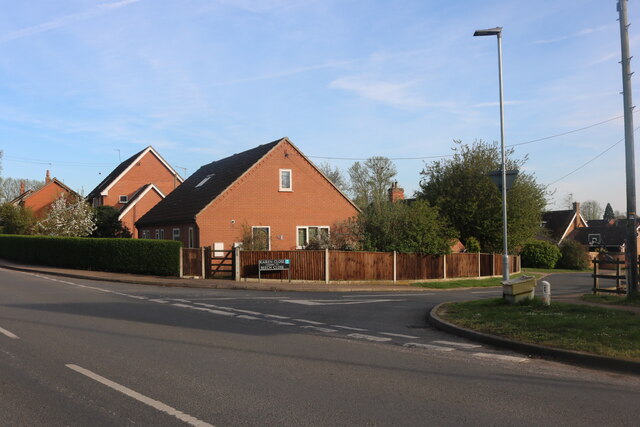
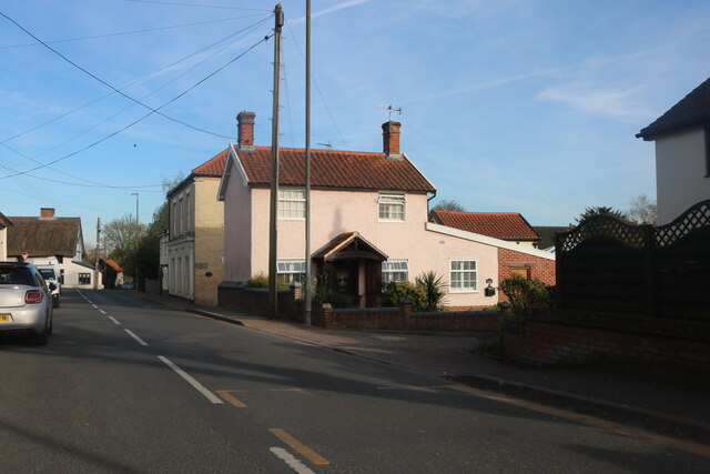
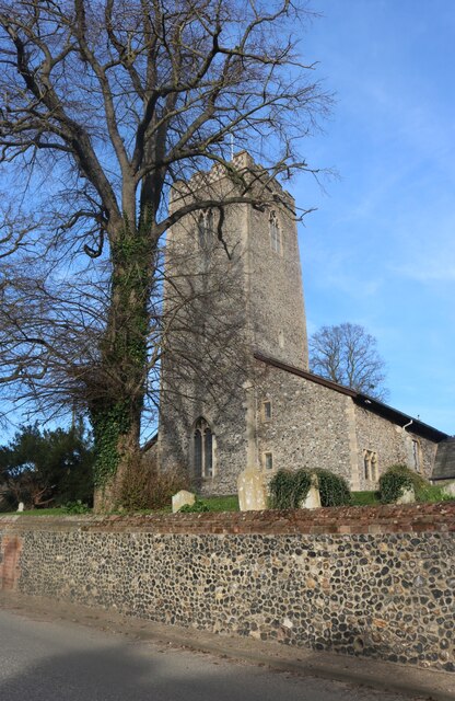
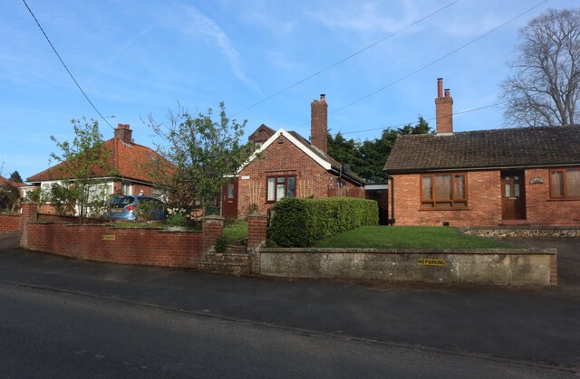
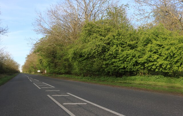
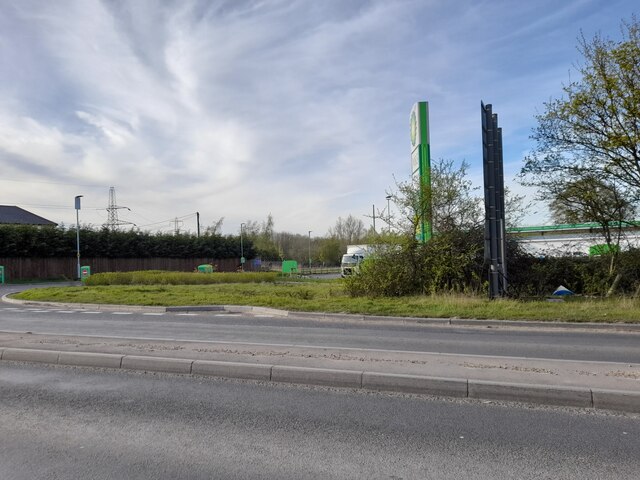
Coney Fur Wood Images
Images are sourced within 2km of 52.361566/1.1757145 or Grid Reference TM1678. Thanks to Geograph Open Source API. All images are credited.


Coney Fur Wood is located at Grid Ref: TM1678 (Lat: 52.361566, Lng: 1.1757145)
Administrative County: Norfolk
District: South Norfolk
Police Authority: Norfolk
What 3 Words
///useful.cascade.importers. Near Scole, Norfolk
Nearby Locations
Related Wikis
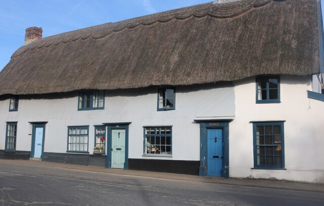
Billingford, South Norfolk
Billingford or Pirleston is a village and former civil parish, 19 miles (31 km) south of Norwich, now in the parish of Scole, in the South Norfolk district...
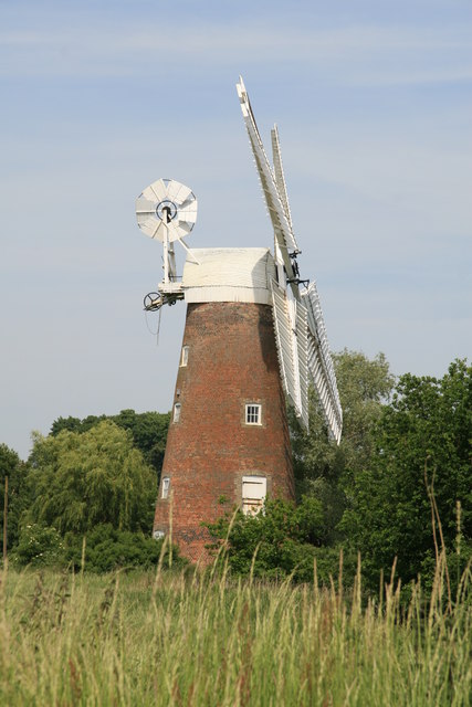
Billingford Windmill
Billingford Windmill is a grade II* listed brick tower mill at Billingford near Diss, Norfolk, England which has been preserved and restored to working...

Dickleburgh and Rushall
Dickleburgh and Rushall is a civil parish in South Norfolk. It covers an area of 14.90 km2 (5.75 sq mi) and had a population of 1356 in 565 households...
Oakley, Suffolk
Oakley is a village and former civil parish in the Mid Suffolk district, in the north of the English county of Suffolk. It lies immediately to the south...
Nearby Amenities
Located within 500m of 52.361566,1.1757145Have you been to Coney Fur Wood?
Leave your review of Coney Fur Wood below (or comments, questions and feedback).