Oldfield Park
Settlement in Somerset
England
Oldfield Park
Oldfield Park is a residential suburb located in Bath, Somerset, England. Situated approximately two miles southwest of Bath city center, it is a popular area for both families and young professionals due to its convenient location and range of amenities.
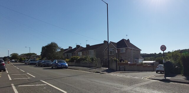
The suburb is characterized by its rows of Victorian terraced houses, which give the area a charming and traditional atmosphere. Many of these houses have been converted into flats, offering affordable rental options for students attending the nearby University of Bath.
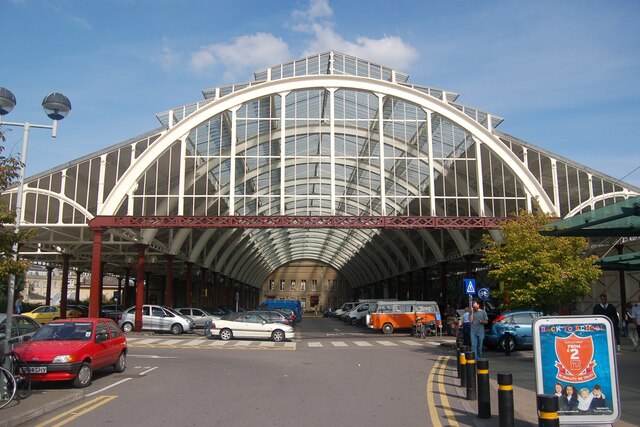
Oldfield Park benefits from excellent transport links, with a train station providing regular services to Bath and Bristol, making it an ideal location for commuting. Additionally, the suburb is well-served by local buses, providing easy access to the city center and surrounding areas.
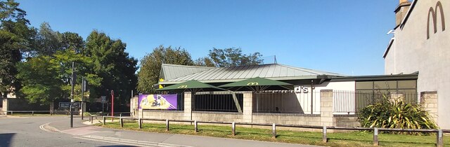
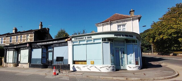
Residents of Oldfield Park enjoy a range of amenities on their doorstep. Moorland Road, the main shopping street, offers an array of independent shops, cafes, and restaurants, as well as a supermarket and other essential services. There are also several parks and green spaces in the area, providing opportunities for outdoor activities and leisure.
Education is well-catered for in Oldfield Park, with a number of primary and secondary schools within close proximity. The University of Bath is also easily accessible, making the suburb an attractive option for students and academics alike.
Overall, Oldfield Park offers a desirable residential location with a mix of period properties, convenient transport links, and a range of amenities, making it a popular choice for those seeking a vibrant community atmosphere within easy reach of Bath city center.
If you have any feedback on the listing, please let us know in the comments section below.
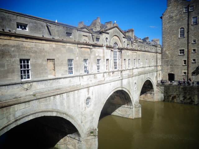
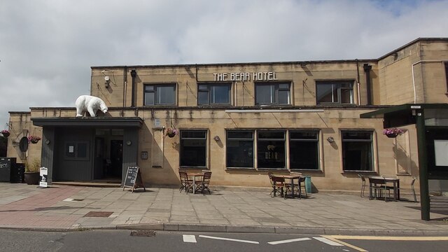
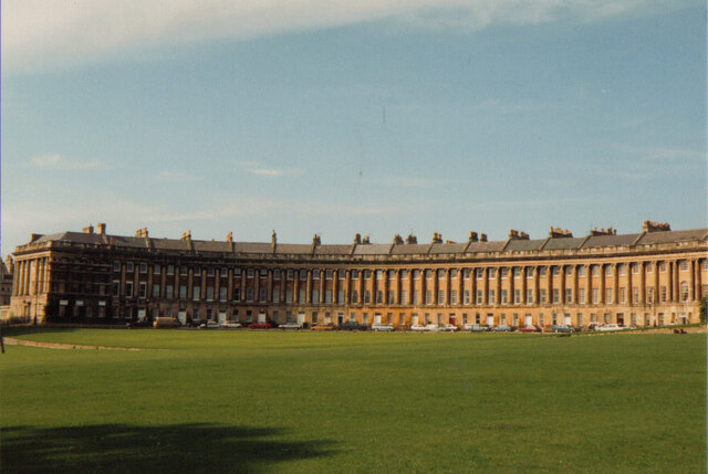
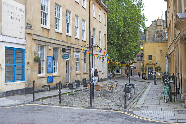
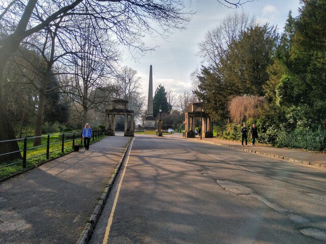
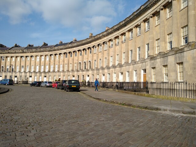
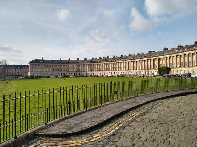
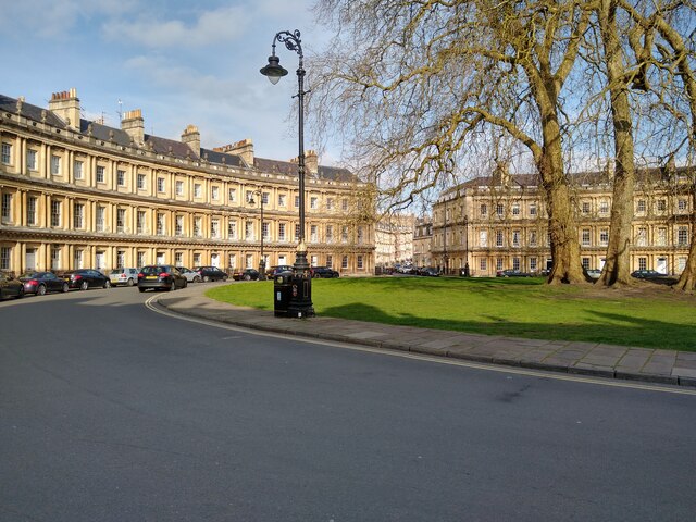
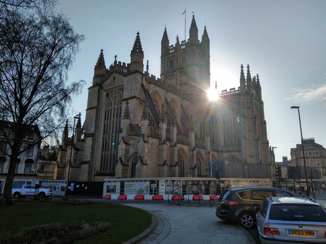
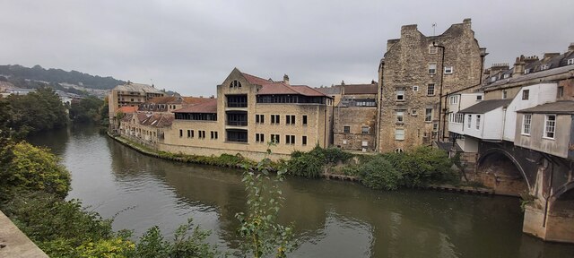
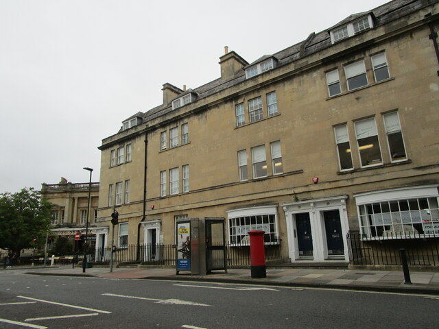
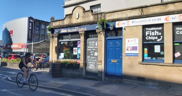
Oldfield Park Images
Images are sourced within 2km of 51.376284/-2.377118 or Grid Reference ST7364. Thanks to Geograph Open Source API. All images are credited.

Oldfield Park is located at Grid Ref: ST7364 (Lat: 51.376284, Lng: -2.377118)
Unitary Authority: Bath and North East Somerset
Police Authority: Avon and Somerset
What 3 Words
///skirt.ahead.broker. Near Bath, Somerset
Nearby Locations
Related Wikis
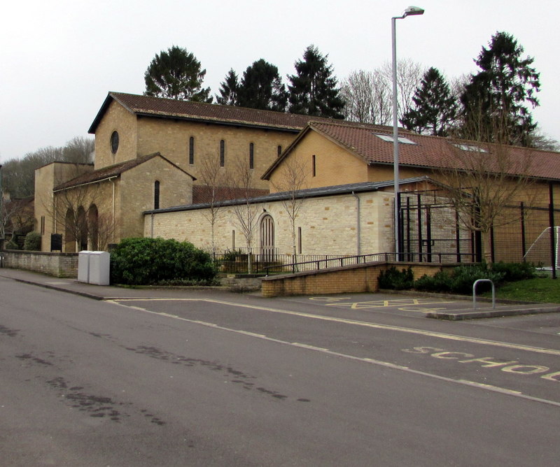
Church of Our Lady & St Alphege, Bath
The Church of Our Lady & St Alphege is a Roman Catholic church located in the Oldfield Park suburb of Bath, Somerset. The church was built between 1927...

Hayesfield Girls' School
Hayesfield Girls' School is an all-girls secondary school with a co-educational sixth form located in Bath, England. In August 2011, the school became...

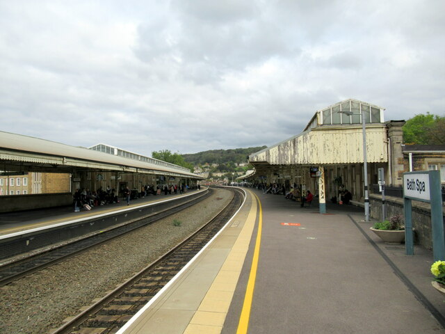
Oldfield Park railway station
Oldfield Park railway station is on the Great Western Main Line in South West England, serving the mainly residential areas of southern Bath, Somerset...

Westmoreland, Bath
Westmoreland is an area and electoral ward in the south-west of Bath, England. Although still shown on some Ordnance Survey mapping, Westmoreland is rarely...

Midland Bridge
The Midland Bridge is a road bridge over the River Avon in Bath, Somerset, England, now carrying the B3118 road. It was originally built in 1870 by the...
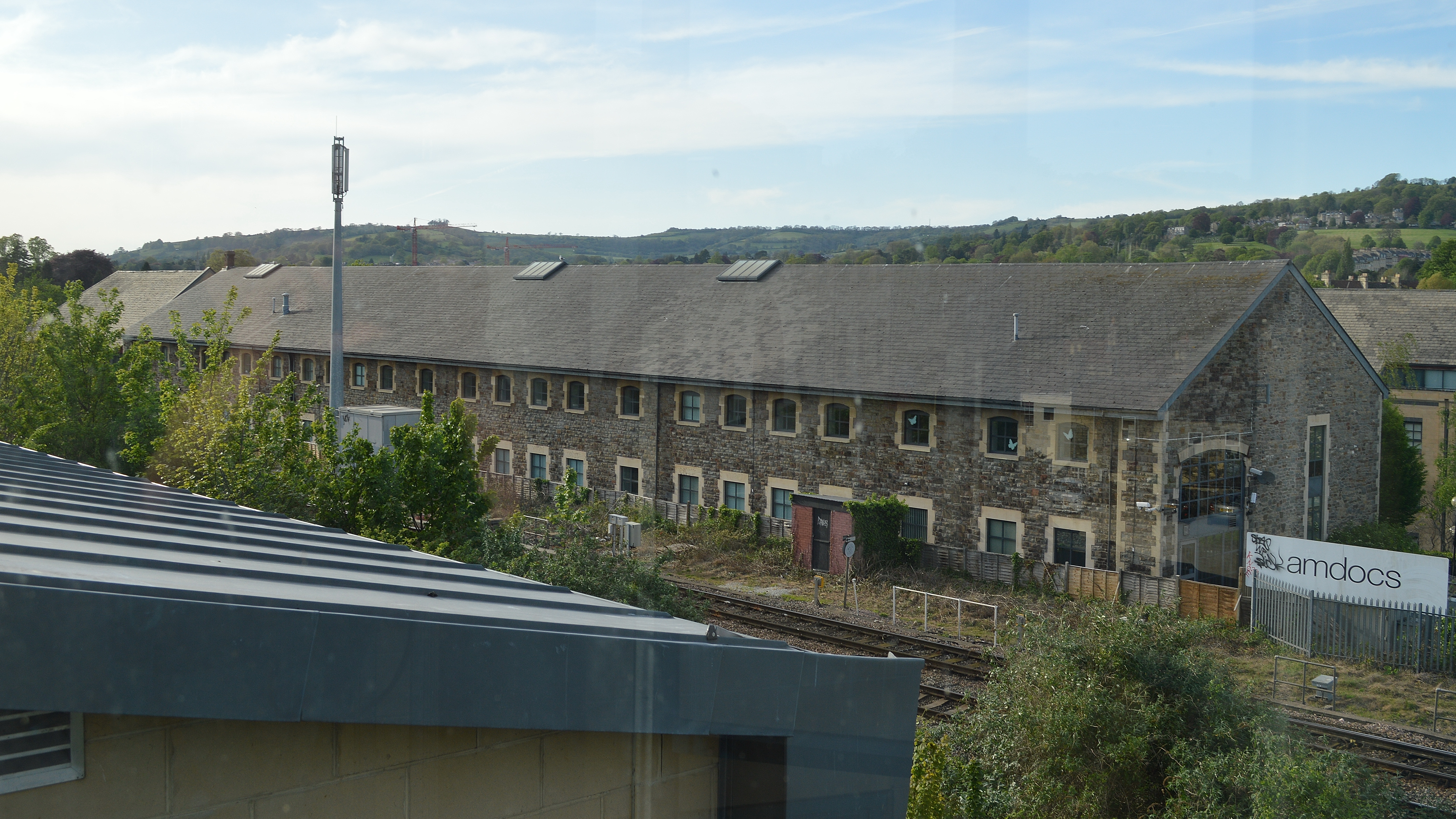
Westmoreland Road goods yard
Westmoreland Road goods yard was the main Great Western Railway goods station for the city of Bath in England, situated on the main line between the passenger...

Bear Flat
Bear Flat is a neighbourhood within the city of Bath, Somerset, England, to the south of the city centre and to the west of Beechen Cliff (a heavily wooded...

Bath Postal Museum
The Bath Postal Museum was a postal museum in Bath, Somerset, England. The museum was founded in 1979 by Audrey and Harold Swindells in the basement of...
Related Videos

Is it worth visiting BATH, UK? Using a 1940s TOURIST GUIDE
With a 1940s Wardlock Red Tourist Guide we explore the regency city of Bath. The guide contains all sorts of information about ...
Discovering the Beauty of Bath: A Walking Tour of an Ancient British City
In this tour, Sinead takes a day trip from London to Bath, including the Roman baths. NEXT VIDEO: ...
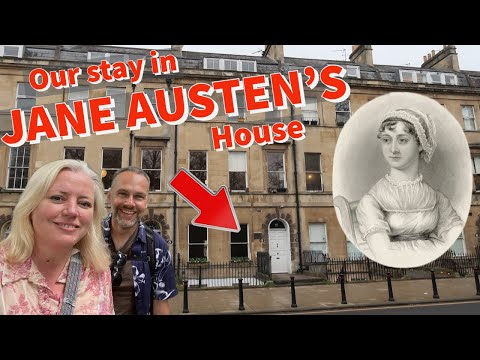
Is it worth visiting BATH UK - City break inspired by JANE AUSTEN
We stayed in 4 Sydney Place, Bath. Join us as we seek any clues to the former famous resident. What will we find? Although, this ...

Rip off or World Class? Is it worth visiting Thermae Bath Spa, Bath, UK? An honest review
We visited Bath, UK recently and decided to treat ourselves by visiting Thermae Bath Spa. This is billed as a unique experience ...
Nearby Amenities
Located within 500m of 51.376284,-2.377118Have you been to Oldfield Park?
Leave your review of Oldfield Park below (or comments, questions and feedback).