Oldford
Settlement in Somerset Mendip
England
Oldford
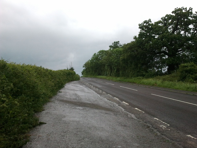
Oldford is a small village located in the county of Somerset, England. Situated approximately 3 miles northeast of Shepton Mallet, it is nestled in the picturesque Mendip Hills, within close proximity to the River Frome.
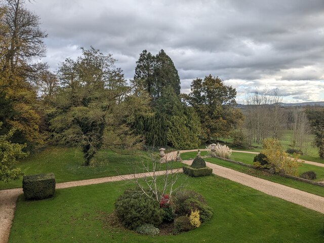
The village is characterized by its quaint and charming atmosphere, with traditional stone buildings and a tight-knit community. It boasts a rich history, with evidence of human settlement dating back to the prehistoric era. Oldford was mentioned in the Domesday Book of 1086, highlighting its longstanding significance.
Although small in size, Oldford offers a range of amenities to its residents and visitors. The local pub, The Oldford Arms, provides a warm and welcoming space for socializing and enjoying classic British cuisine. The village also houses a primary school, ensuring educational facilities for the younger population.
For outdoor enthusiasts, the surrounding countryside offers ample opportunities for exploration and recreation. The Mendip Hills, designated as an Area of Outstanding Natural Beauty, feature rolling hills, expansive woodlands, and stunning vistas. Nearby attractions include the Wookey Hole Caves, a popular tourist destination known for its impressive underground caverns and family-friendly activities.
While Oldford may be considered a quiet and tranquil village, it benefits from its close proximity to larger towns and cities. Shepton Mallet offers additional amenities, including shops, restaurants, and healthcare facilities, ensuring residents have easy access to essential services.
In summary, Oldford is a charming village in Somerset, England, renowned for its historical significance, natural beauty, and close-knit community.
If you have any feedback on the listing, please let us know in the comments section below.
Oldford Images
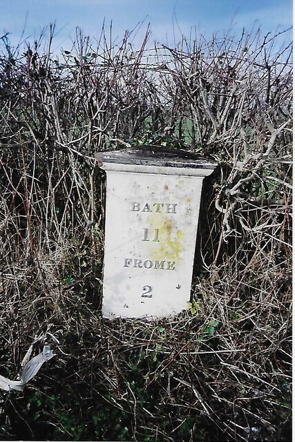
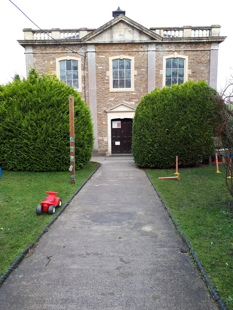
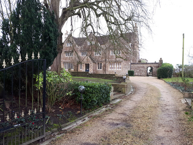
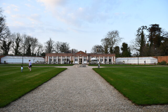
Images are sourced within 2km of 51.251139/-2.307889 or Grid Reference ST7850. Thanks to Geograph Open Source API. All images are credited.


Oldford is located at Grid Ref: ST7850 (Lat: 51.251139, Lng: -2.307889)
Administrative County: Somerset
District: Mendip
Police Authority: Avon and Somerset
What 3 Words
///blazing.shimmered.gracing. Near Frome, Somerset
Nearby Locations
Related Wikis
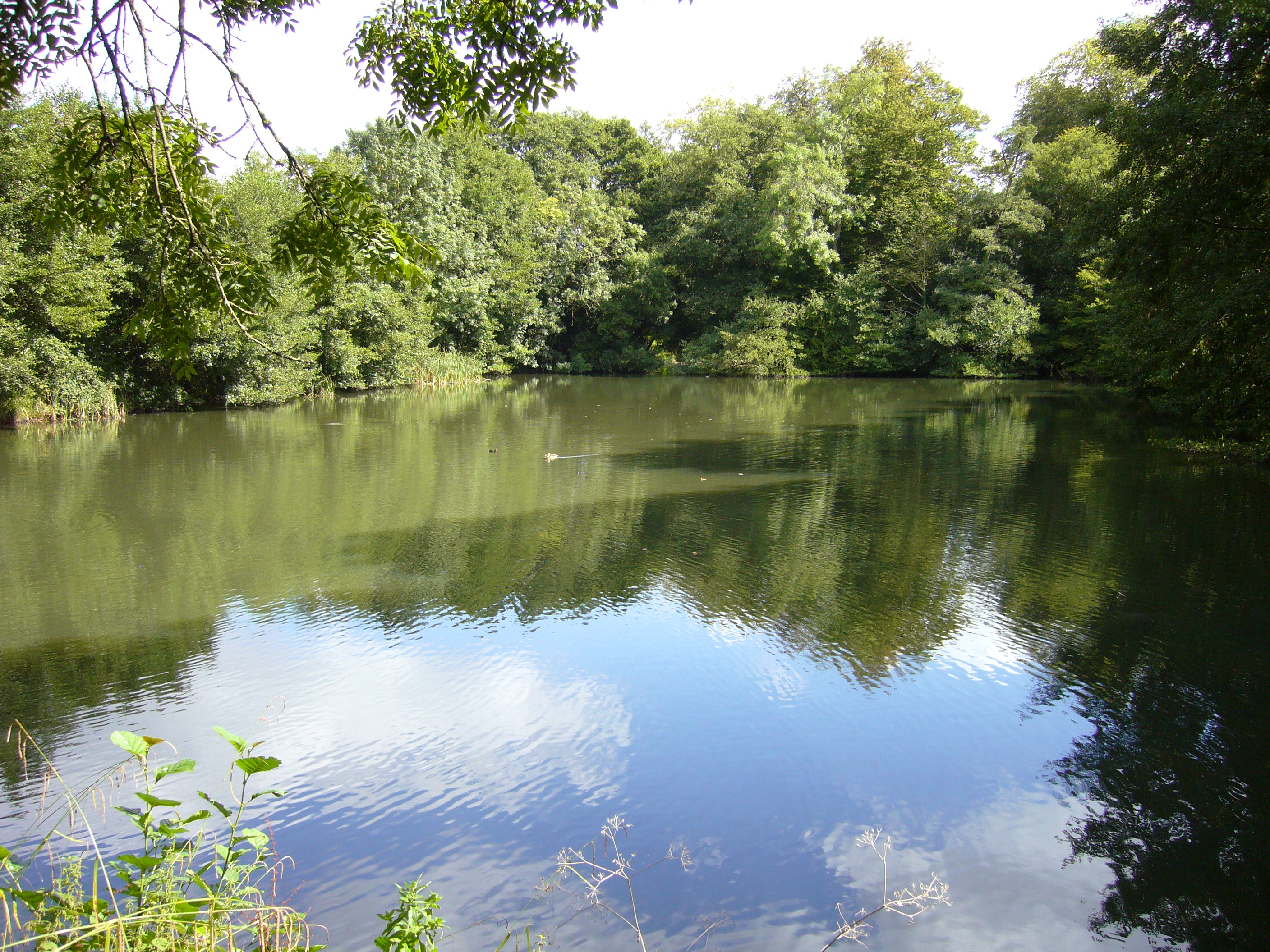
Orchardleigh Lake
Orchardleigh Lake (also spelt Orchardlea) (grid reference ST779508) is an 11.23-hectare artificial lake in the grounds of the Orchardleigh Estate, just...
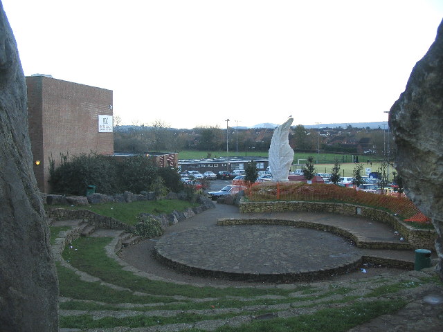
Frome Community College
Frome Community College, styled as Frome College, is a comprehensive school in Frome, Somerset, England for students aged 13 to 18. Approximately 1,200...
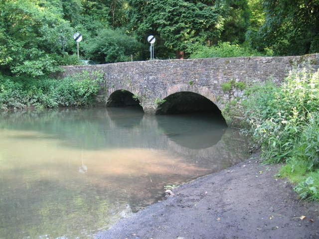
Mells River
The Mells River flows through the eastern Mendip Hills in Somerset, England. It rises at Gurney Slade and flows east joining the River Frome at Frome....
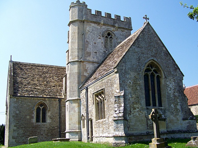
Lullington, Somerset
Lullington is a village and civil parish just across the Mells River from Beckington and 2.5 miles (4.0 km) north east of Frome, in the Mendip district...
Nearby Amenities
Located within 500m of 51.251139,-2.307889Have you been to Oldford?
Leave your review of Oldford below (or comments, questions and feedback).