Oldfield Brow
Settlement in Cheshire
England
Oldfield Brow

Oldfield Brow is a small residential area located in Cheshire, England. Situated within the borough of Trafford, it is part of the wider town of Altrincham. This quaint neighborhood is known for its peaceful atmosphere and close-knit community.
Oldfield Brow primarily consists of residential properties, ranging from charming cottages to modern family homes. The area offers a mix of both rental and owner-occupied housing options, catering to a diverse range of residents. The streets are lined with well-maintained sidewalks and green spaces, creating an inviting environment for outdoor activities and leisurely walks.
A notable feature of Oldfield Brow is its proximity to various amenities and facilities. The nearby town of Altrincham provides residents with a wide range of shopping outlets, restaurants, and entertainment options. The area is also known for its excellent educational institutions, with several primary and secondary schools situated within a short distance.
Oldfield Brow benefits from its convenient location, with good transportation links connecting it to neighboring towns and cities. The nearby Altrincham Interchange provides access to both bus and tram services, making it easy for residents to travel to Manchester city center and beyond.
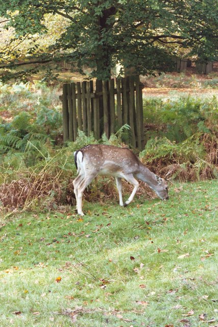
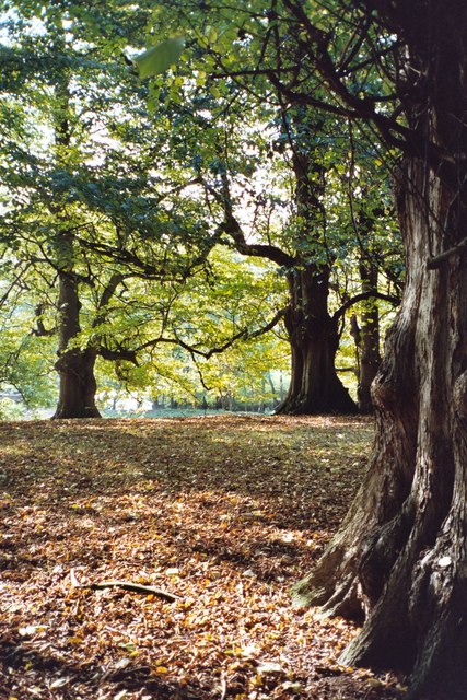
Surrounded by picturesque countryside, Oldfield Brow offers residents the opportunity to enjoy the tranquility of rural life while still having access to urban amenities. The neighborhood is also within close proximity to popular tourist destinations such as Dunham Massey and Tatton Park, which boast stunning landscapes and historic sites.
In summary, Oldfield Brow is a charming residential area in Cheshire, offering a peaceful and friendly community, convenient amenities, and easy access to both urban and rural attractions.
If you have any feedback on the listing, please let us know in the comments section below.
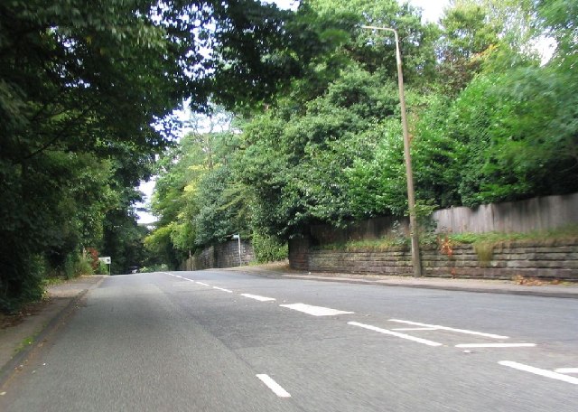
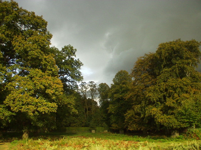
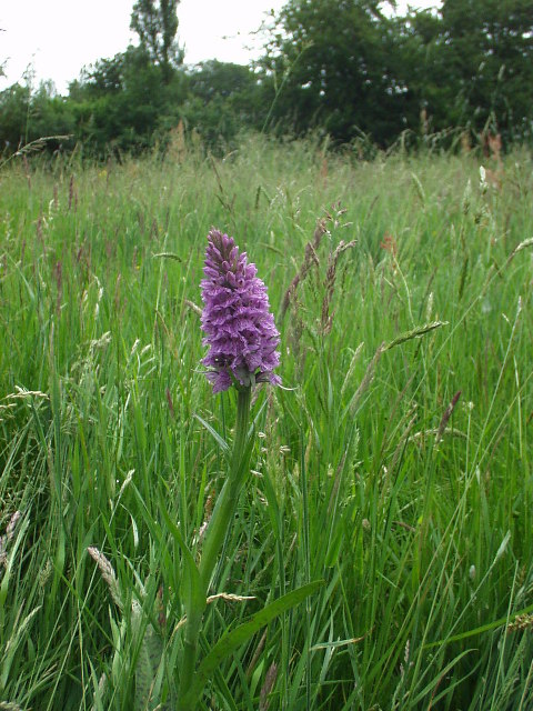
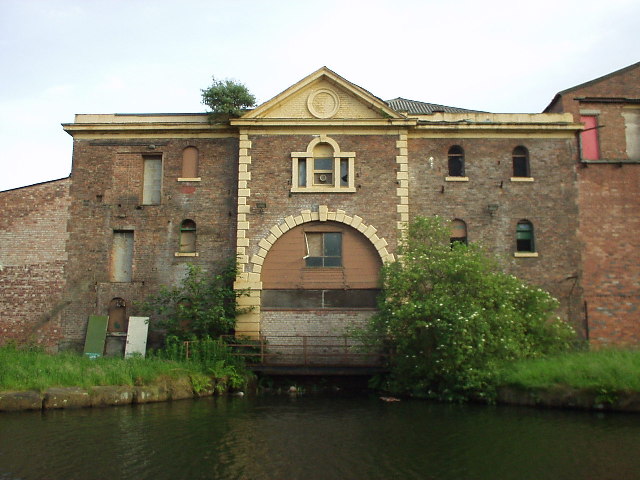
Oldfield Brow Images
Images are sourced within 2km of 53.392667/-2.367784 or Grid Reference SJ7588. Thanks to Geograph Open Source API. All images are credited.


Oldfield Brow is located at Grid Ref: SJ7588 (Lat: 53.392667, Lng: -2.367784)
Unitary Authority: Trafford
Police Authority: Greater Manchester
What 3 Words
///jumpy.island.fruit. Near Altrincham, Manchester
Nearby Locations
Related Wikis
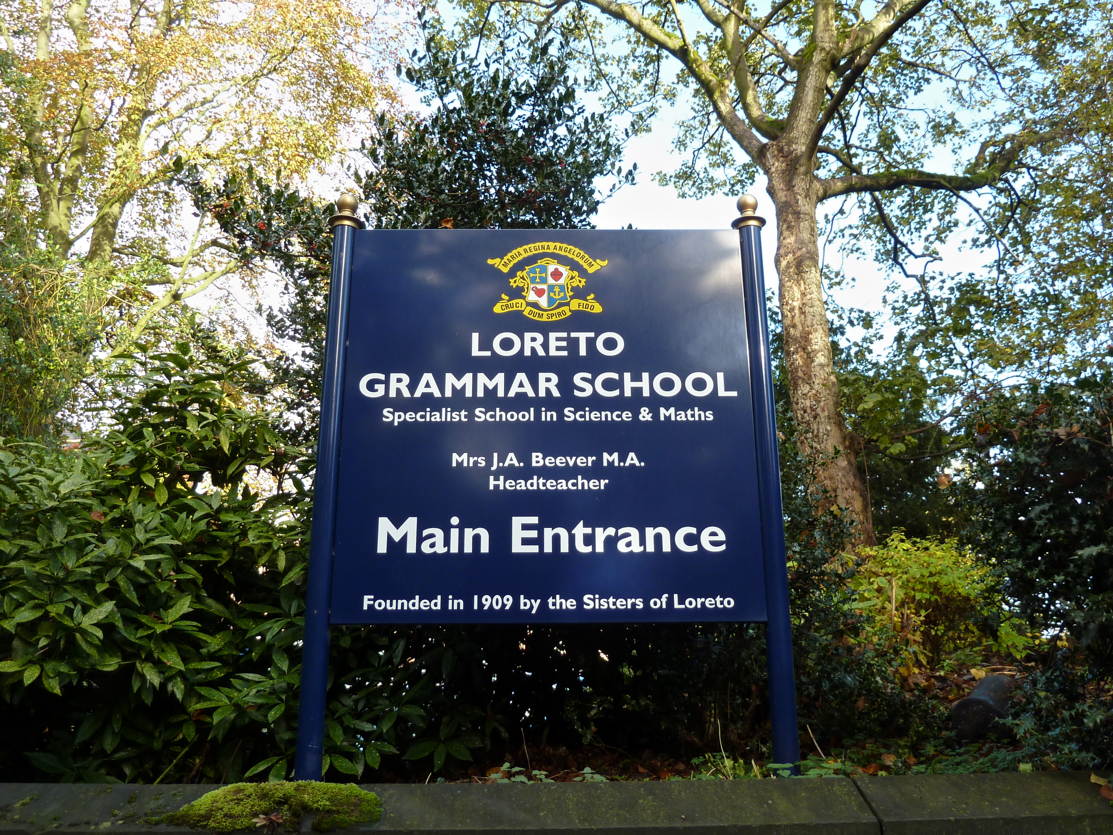
Loreto Grammar School
Loreto Grammar School is located in Trafford, England. Pupils must sit an entrance exam to enter, and fulfil several other entry criteria. It is part of...

North Cestrian School
North Cestrian School, formerly North Cestrian Grammar School, is a free school in Altrincham, Greater Manchester, England, for pupils aged between 11...
Dunham Massey POW Camp
Dunham Massey POW Camp was a POW camp detaining German prisoners of war. It was located in the eastern corner of Dunham Massey Home Park in an area which...
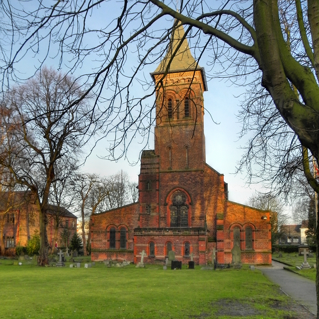
St George's Church, Altrincham
St George's Church is in the town of Altrincham, Greater Manchester, England. The church is recorded in the National Heritage List for England as a designated...
Nearby Amenities
Located within 500m of 53.392667,-2.367784Have you been to Oldfield Brow?
Leave your review of Oldfield Brow below (or comments, questions and feedback).