Ockford Ridge
Settlement in Surrey Waverley
England
Ockford Ridge
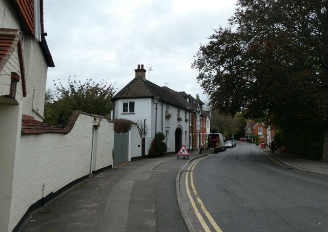
Ockford Ridge is a small residential area located in the town of Godalming, Surrey, England. It is situated on the southern edge of the town, just west of the River Wey. The neighborhood primarily consists of a mix of semi-detached and terraced houses, offering a tranquil suburban living environment.
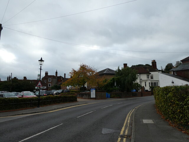
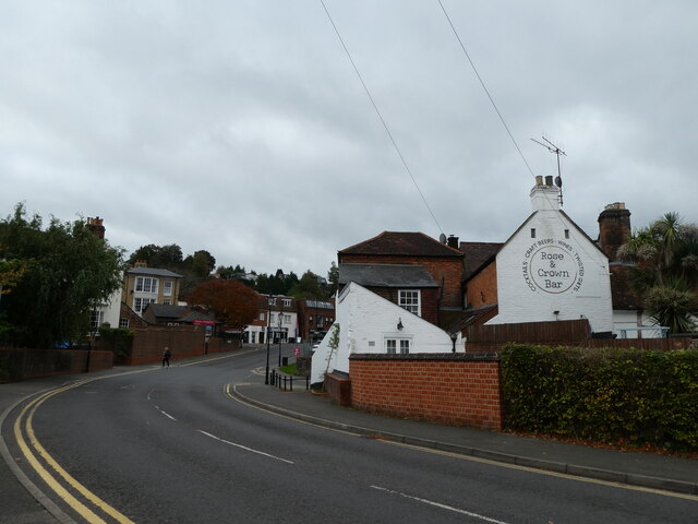
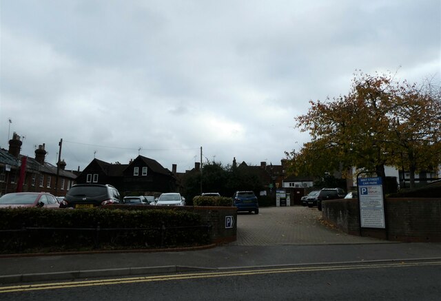
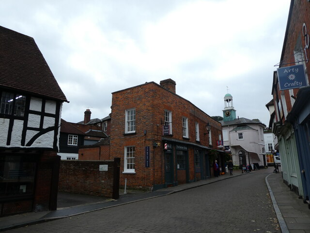
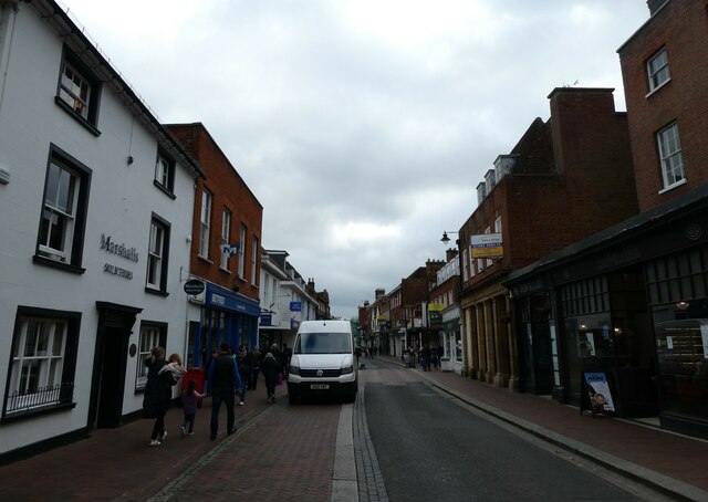
The area is known for its picturesque surroundings, with rolling hills and countryside views. Ockford Ridge benefits from its proximity to local amenities, including shops, supermarkets, and schools, making it a desirable place for families to reside. The nearby town center of Godalming, with its historic high street, provides residents with a range of shopping and dining options.
Nature enthusiasts will appreciate the close proximity to countryside trails and the River Wey, which offers opportunities for scenic walks and outdoor activities. The area is also well-connected in terms of transportation, with Godalming railway station providing regular train services to London and other major towns in the region.
Ockford Ridge is part of the wider community of Godalming, which hosts various events and activities throughout the year, such as the Godalming Food Festival and the Godalming Carnival. The town also boasts several historical landmarks, such as the 13th-century church of St. Peter and St. Paul, adding to its charm and character.
Overall, Ockford Ridge, Surrey, is an attractive residential area offering a peaceful and picturesque setting, with convenient access to amenities and transportation links.
If you have any feedback on the listing, please let us know in the comments section below.
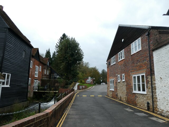
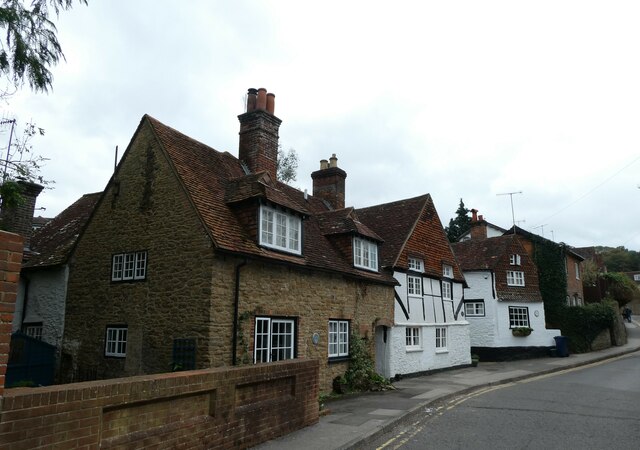
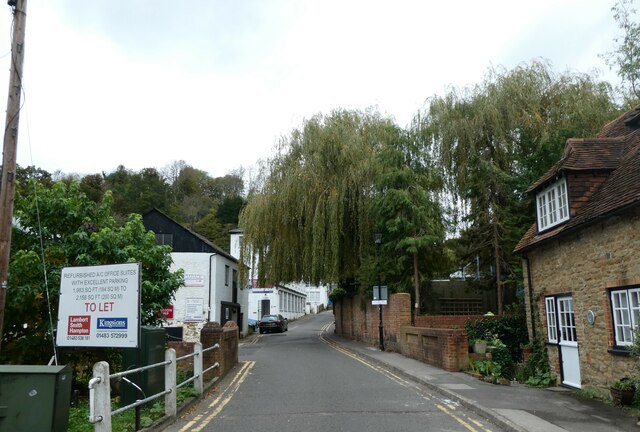
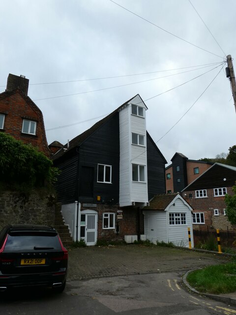
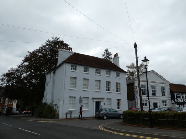
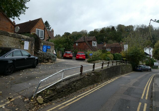
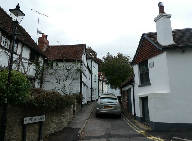
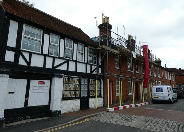
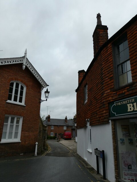
Ockford Ridge Images
Images are sourced within 2km of 51.179631/-0.629776 or Grid Reference SU9543. Thanks to Geograph Open Source API. All images are credited.

Ockford Ridge is located at Grid Ref: SU9543 (Lat: 51.179631, Lng: -0.629776)
Administrative County: Surrey
District: Waverley
Police Authority: Surrey
What 3 Words
///adopt.comforted.arrival. Near Godalming, Surrey
Nearby Locations
Related Wikis

Borough of Waverley
The Borough of Waverley is a local government district with borough status in Surrey, England. The council is based in the town of Godalming. The borough...

Godalming College
Godalming College is a sixth form college, situated in Godalming, 31 miles (50 km) south-west of London and five miles from Guildford, Surrey. The college...

St Edmund Church, Godalming
St Edmund's Church (in full, The Church of St Edmund King and Martyr) is the Roman Catholic parish church of Godalming, a town in the English county of...
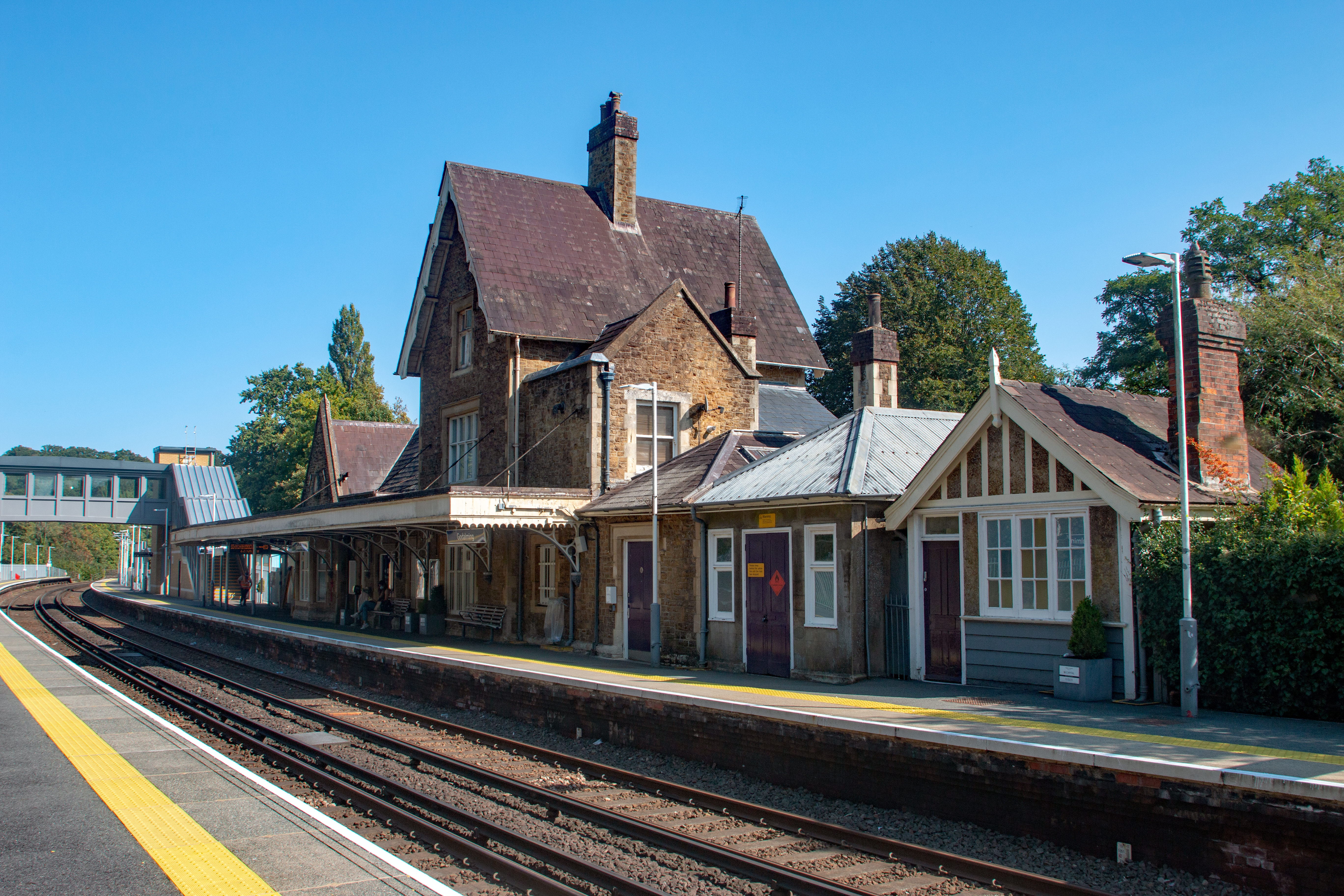
Godalming railway station
Godalming railway station is a stop on the Portsmouth Direct Line, 34 miles 37 chains (55.5 km) down the line from London Waterloo. The station, opened...
Nearby Amenities
Located within 500m of 51.179631,-0.629776Have you been to Ockford Ridge?
Leave your review of Ockford Ridge below (or comments, questions and feedback).