Eashing, Upper
Settlement in Surrey Guildford
England
Eashing, Upper
Eashing is a small village located in the Upper region of Surrey, England. Situated just south of Godalming, this picturesque village is nestled in the beautiful Surrey Hills, an Area of Outstanding Natural Beauty. Eashing is known for its tranquil atmosphere and stunning countryside views, making it a popular destination for nature lovers and outdoor enthusiasts.
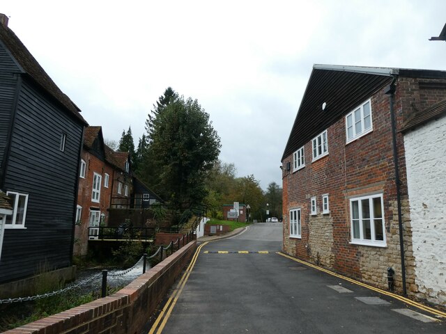
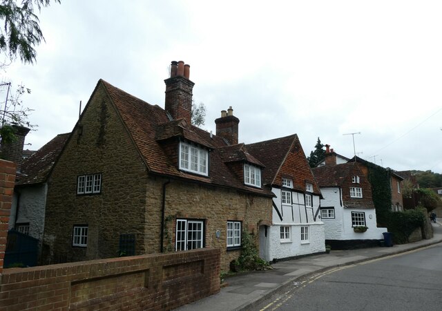
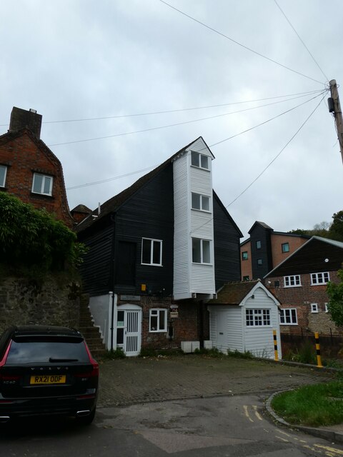
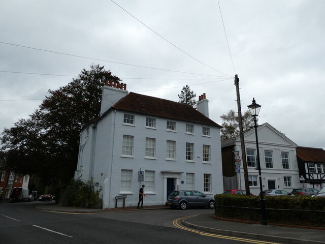
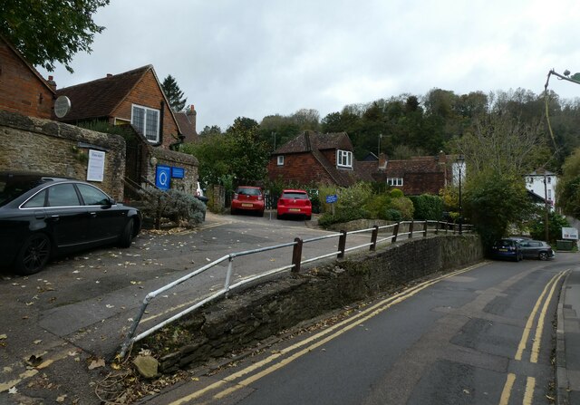
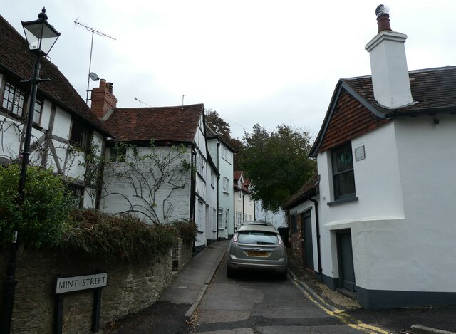
The village itself is characterized by its quaint cottages and historic buildings, showcasing the area's rich heritage. Eashing is home to several notable landmarks, including Eashing Bridge, a Grade II listed structure that dates back to the 18th century. This iconic bridge spans over the River Wey, providing a charming backdrop for leisurely walks and picnics along the riverbanks.
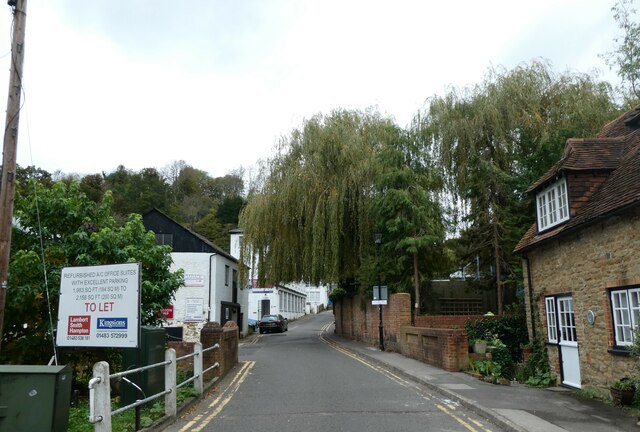
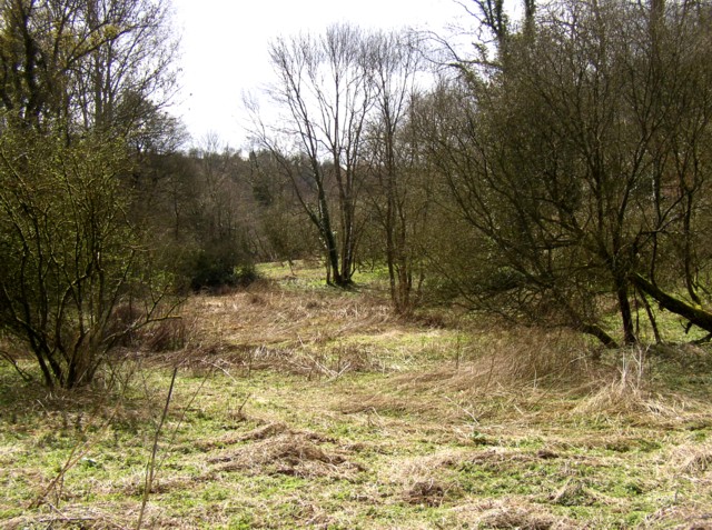
Eashing is also renowned for its proximity to the Surrey Hills, offering residents and visitors ample opportunities for hiking, cycling, and horseback riding. The surrounding countryside is dotted with rolling hills, woodlands, and meadows, providing a haven for wildlife and a serene escape from the bustling city life.
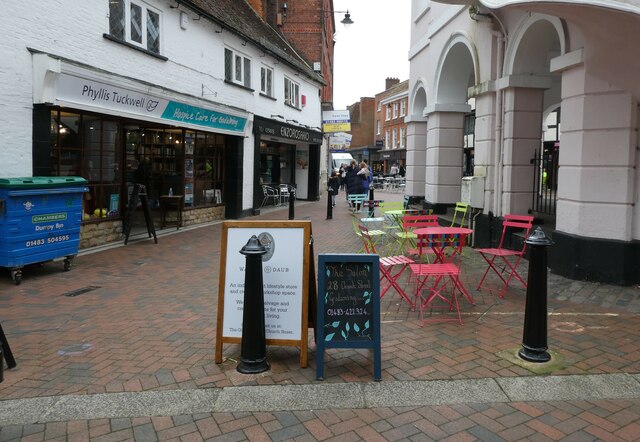
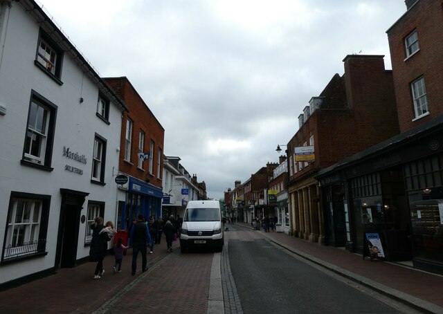
Although Eashing is primarily a residential area, it benefits from its close proximity to Godalming, a larger town that offers a range of amenities such as shops, cafes, and schools. Additionally, the village is well-connected to other parts of Surrey and London through reliable public transportation links.
Overall, Eashing is a charming and idyllic village that offers a peaceful retreat in the heart of the Surrey Hills, making it a desirable place to live or visit for those seeking a tranquil countryside setting.
If you have any feedback on the listing, please let us know in the comments section below.
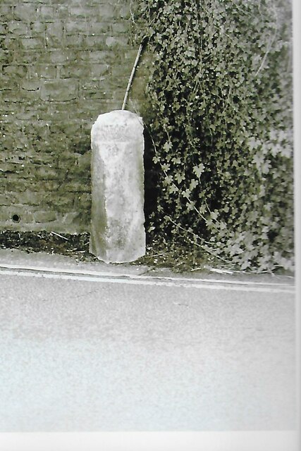
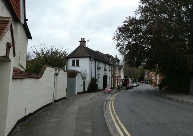
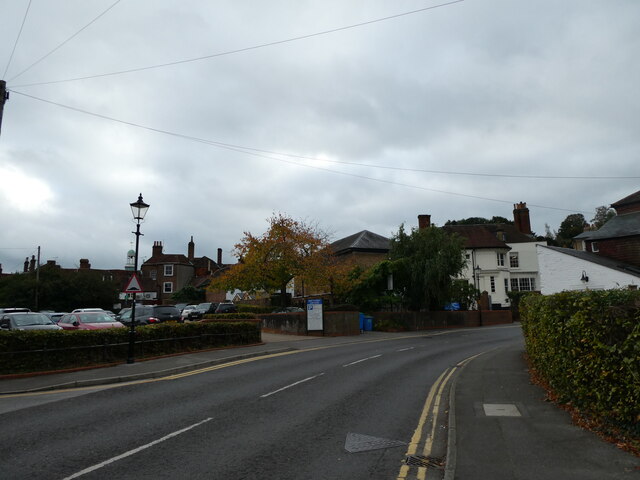
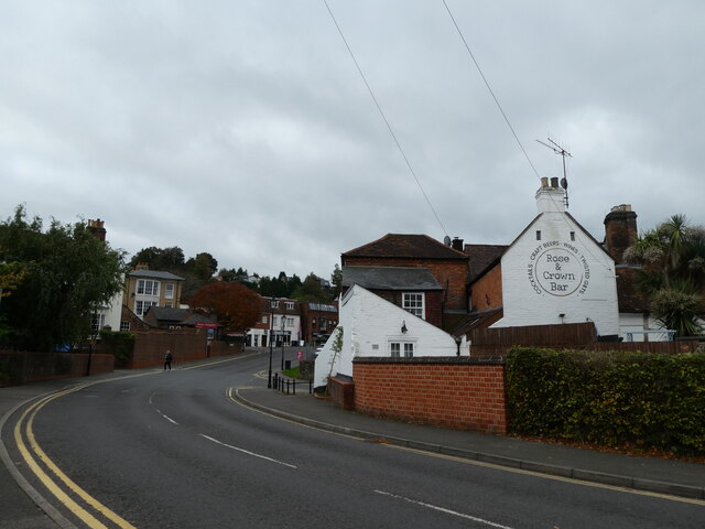
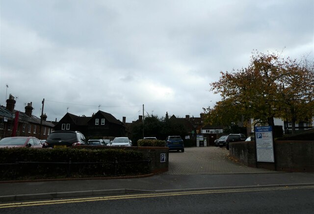
Eashing, Upper Images
Images are sourced within 2km of 51.186154/-0.637782 or Grid Reference SU9543. Thanks to Geograph Open Source API. All images are credited.
Eashing, Upper is located at Grid Ref: SU9543 (Lat: 51.186154, Lng: -0.637782)
Administrative County: Surrey
District: Guildford
Police Authority: Surrey
What 3 Words
///glades.aged.dressings. Near Milford, Surrey
Nearby Locations
Related Wikis
Charterhouse to Eashing
Charterhouse to Eashing is a 68.4-hectare (169-acre) biological Site of Special Scientific Interest west of Godalming in Surrey.This is a steep valley...

Old Carthusians F.C.
Old Carthusians Football Club is an association football club whose players are former pupils of Charterhouse School in Godalming, Surrey, England. The...
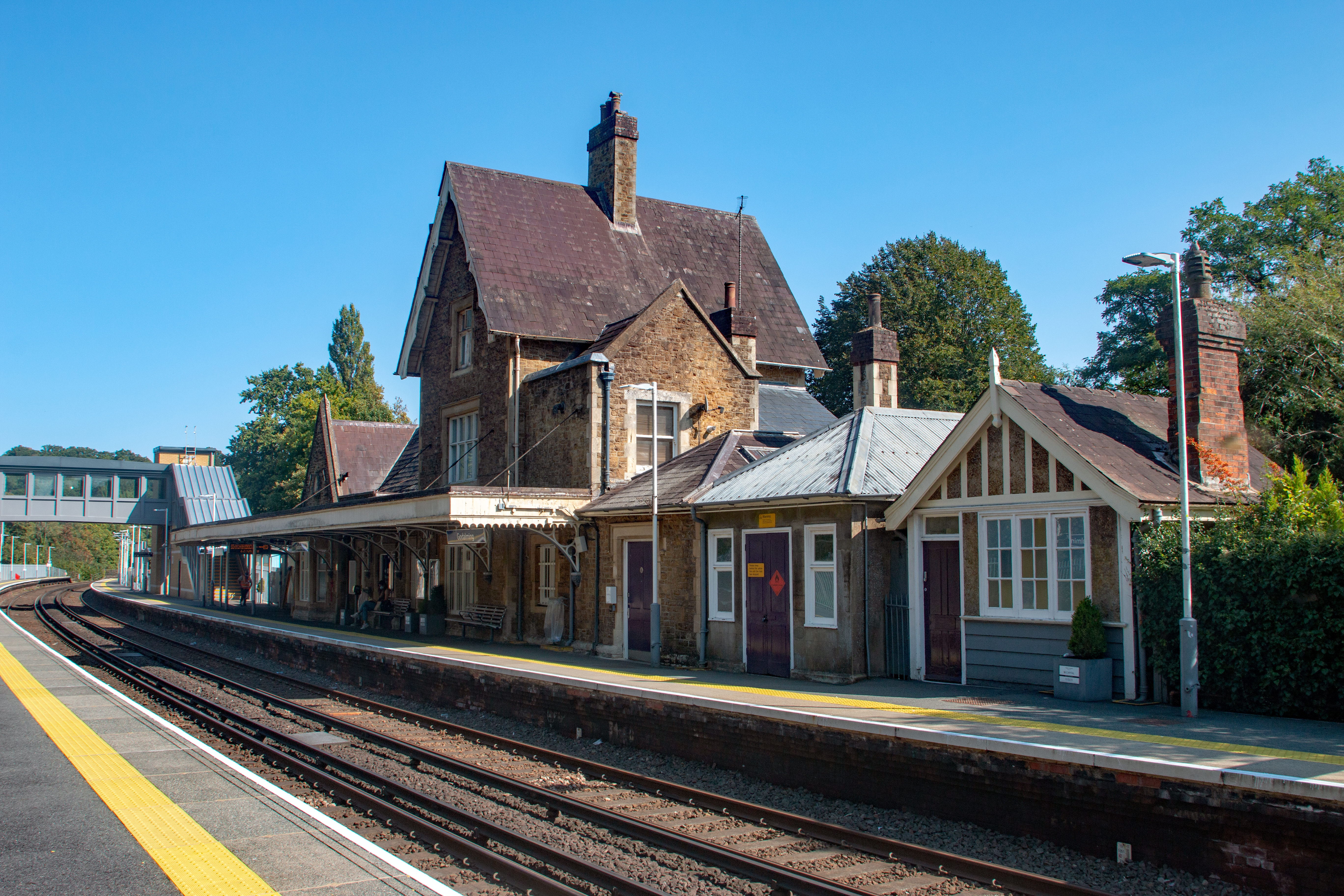
Godalming railway station
Godalming railway station is a stop on the Portsmouth Direct Line, 34 miles 37 chains (55.5 km) down the line from London Waterloo. The station, opened...

Borough of Waverley
The Borough of Waverley is a local government district with borough status in Surrey, England. The council is based in the town of Godalming. The borough...

River Ock, Surrey
The River Ock is a tributary of the River Wey in Surrey, England. == Course == The river has two great sources in the west of Hambledon and two similar...

Church of St Peter & St Paul, Godalming
The Church of St. Peter and St. Paul is a parish church of the Church of England in Godalming, Surrey. The parish is mostly urban and excludes rural outskirts...

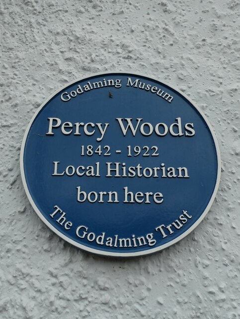
Godalming Museum
Godalming Museum is a local museum in the town of Godalming, Surrey, England.The museum covers the local history of the town and the surrounding area....

Godalming
Godalming is a market town and civil parish in southwest Surrey, England, around 30 miles (49 km) southwest of central London. It is in the Borough of...
Nearby Amenities
Located within 500m of 51.186154,-0.637782Have you been to Eashing, Upper?
Leave your review of Eashing, Upper below (or comments, questions and feedback).