Aaron's Hill
Settlement in Surrey Waverley
England
Aaron's Hill
Aaron's Hill is a charming village located in Surrey, England. Situated on the outskirts of Godalming, this residential area offers a peaceful and picturesque environment for its residents. The village is nestled within the Surrey Hills Area of Outstanding Natural Beauty, providing breathtaking views of the surrounding countryside.
The heart of Aaron's Hill is its quaint village center, which features a variety of amenities and services. Here, residents can find a local convenience store, a post office, and a few small businesses. The village also has a primary school, making it an attractive location for families with young children.
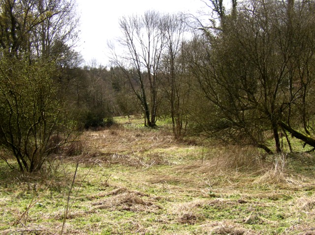
Nature enthusiasts will be delighted by the numerous walking and cycling trails that crisscross the area. Aaron's Hill is a perfect base for exploring the Surrey Hills, with its rolling hills, woodlands, and meadows. A popular destination for outdoor activities, residents and visitors can enjoy hiking, horse riding, and picnicking in the idyllic countryside.
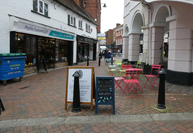
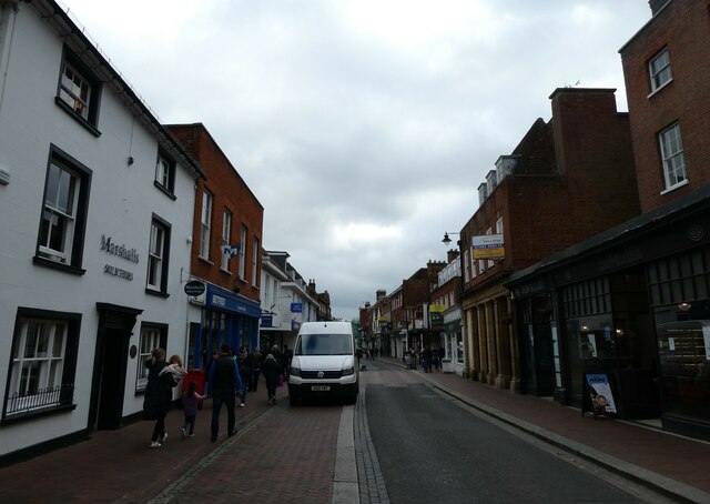
The village's proximity to Godalming allows for easy access to a wider range of amenities, including supermarkets, restaurants, and leisure facilities. Additionally, the nearby town offers excellent transport links, with regular train services to London and other major cities.
Aaron's Hill combines the tranquility of rural living with the convenience of nearby urban amenities. With its natural beauty and community spirit, it is no wonder that this village is a highly sought-after place to live in Surrey.
If you have any feedback on the listing, please let us know in the comments section below.
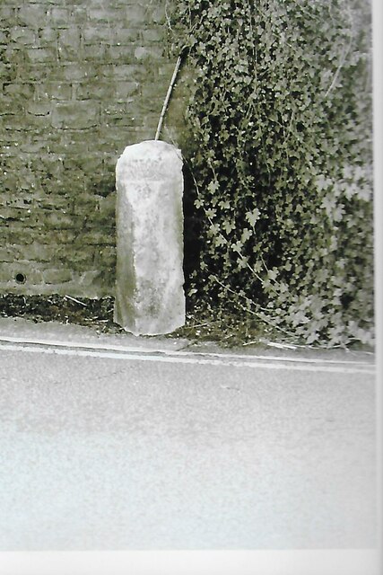
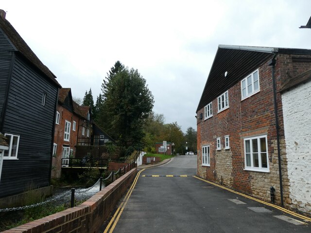
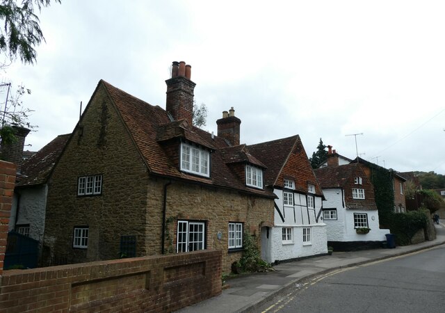
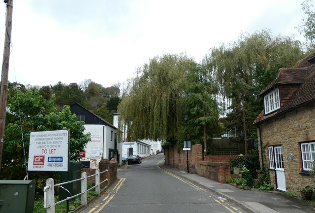
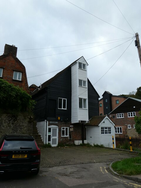
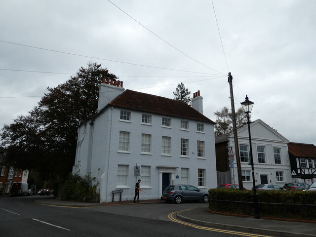
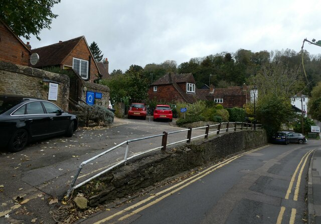
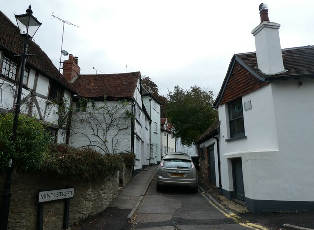
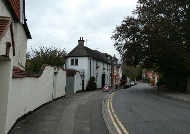
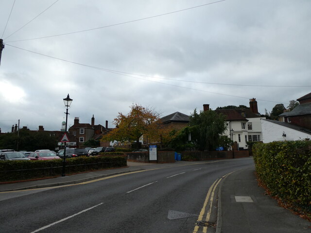
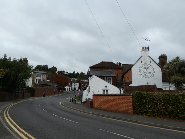
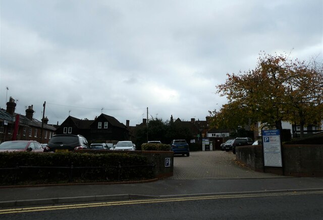
Aaron's Hill Images
Images are sourced within 2km of 51.182914/-0.63097638 or Grid Reference SU9543. Thanks to Geograph Open Source API. All images are credited.
Aaron's Hill is located at Grid Ref: SU9543 (Lat: 51.182914, Lng: -0.63097638)
Administrative County: Surrey
District: Waverley
Police Authority: Surrey
What 3 Words
///rapid.breed.hazy. Near Godalming, Surrey
Nearby Locations
Related Wikis

Borough of Waverley
The Borough of Waverley is a local government district with borough status in Surrey, England. The council is based in the town of Godalming. The borough...
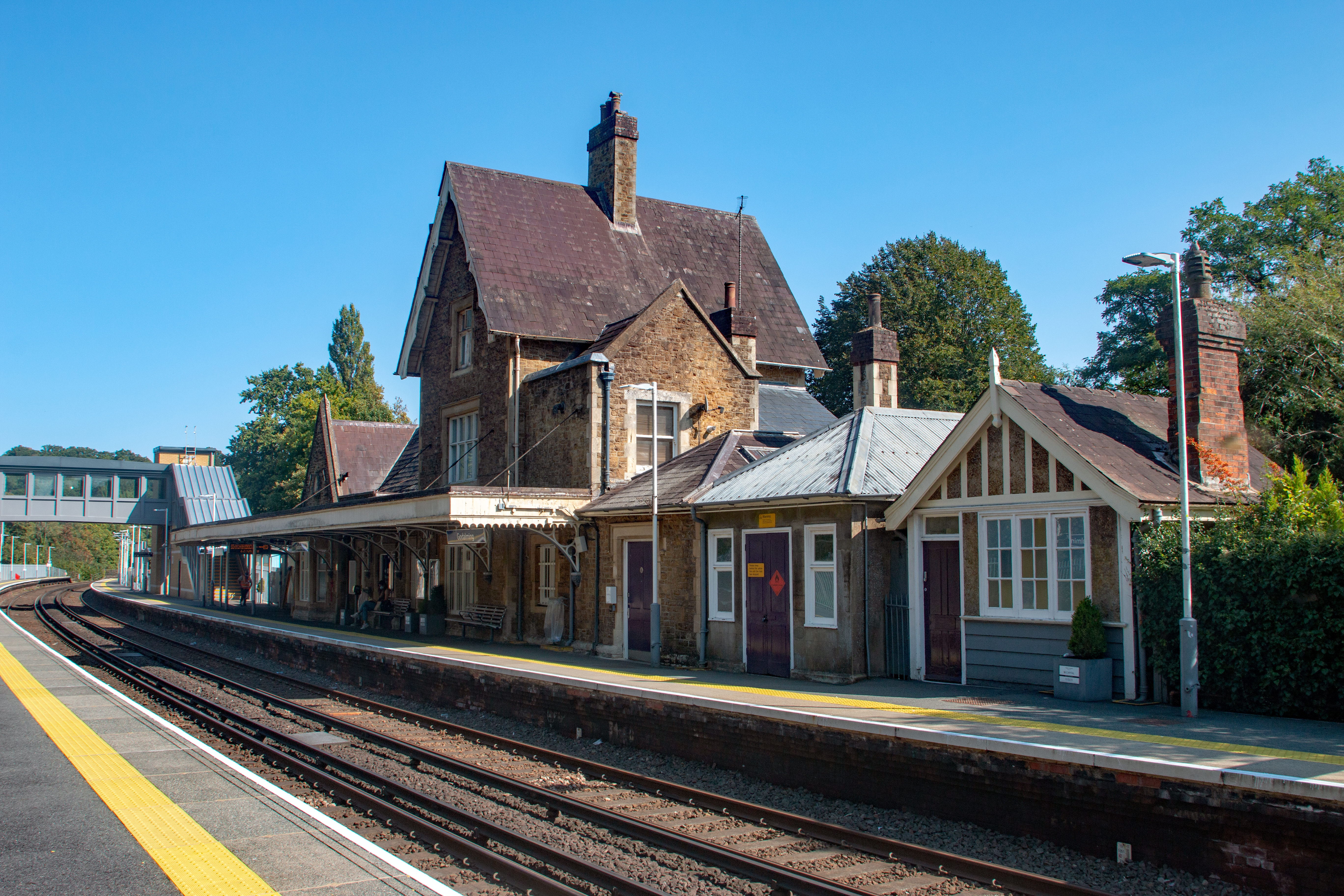
Godalming railway station
Godalming railway station is a stop on the Portsmouth Direct Line, 34 miles 37 chains (55.5 km) down the line from London Waterloo. The station, opened...
Charterhouse to Eashing
Charterhouse to Eashing is a 68.4-hectare (169-acre) biological Site of Special Scientific Interest west of Godalming in Surrey.This is a steep valley...

St Edmund Church, Godalming
St Edmund's Church (in full, The Church of St Edmund King and Martyr) is the Roman Catholic parish church of Godalming, a town in the English county of...

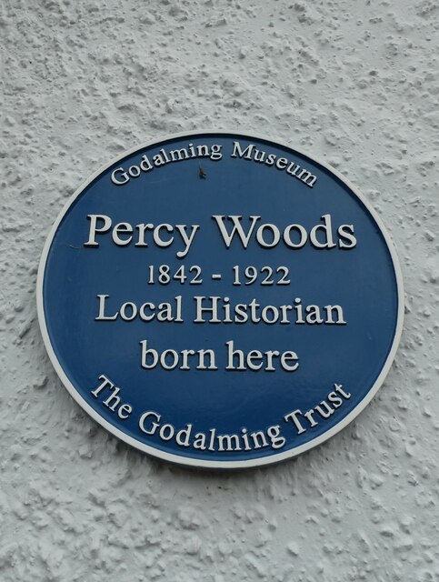
Godalming Museum
Godalming Museum is a local museum in the town of Godalming, Surrey, England.The museum covers the local history of the town and the surrounding area....

Godalming
Godalming is a market town and civil parish in southwest Surrey, England, around 30 miles (49 km) southwest of central London. It is in the Borough of...

River Ock, Surrey
The River Ock is a tributary of the River Wey in Surrey, England. == Course == The river has two great sources in the west of Hambledon and two similar...

Church of St Peter & St Paul, Godalming
The Church of St. Peter and St. Paul is a parish church of the Church of England in Godalming, Surrey. The parish is mostly urban and excludes rural outskirts...
Nearby Amenities
Located within 500m of 51.182914,-0.63097638Have you been to Aaron's Hill?
Leave your review of Aaron's Hill below (or comments, questions and feedback).