A' Mhointeach

Settlement in Inverness-shire

Scotland

A' Mhointeach

Rivet benchmark on Old Shiel Bridge There are lots of images of Old Shiel Bridge (for example, <a href="https://www.geograph.org.uk/photo/616317">NM6769 : Old Shiel Bridge</a>). On the bridge there is an interesting plaque <a href="https://www.geograph.org.uk/photo/7232192">NM6769 : The view from Old Shiel Bridge, and a plaque</a>, <a href="https://www.geograph.org.uk/photo/7232203">NM6769 : Plaque on Old Shiel Bridge</a>, and this  benchmark <span class="nowrap"><a title="https://www.bench-marks.org.uk/bm173516" rel="nofollow ugc noopener" href="https://www.bench-marks.org.uk/bm173516">Link</a><img style="margin-left:2px;" alt="External link" title="External link - shift click to open in new window" src="https://s1.geograph.org.uk/img/external.png" width="10" height="10"/></span>.
Rivet benchmark on Old Shiel Bridge Credit: Neville Goodman

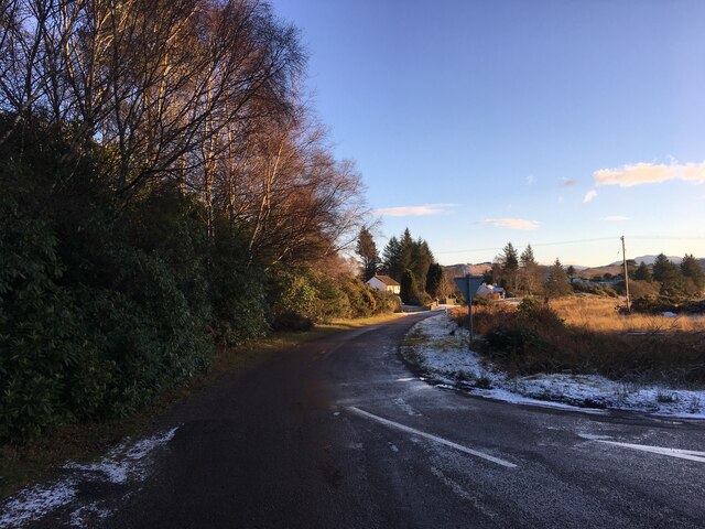
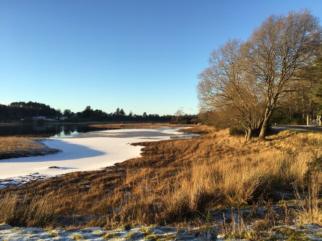
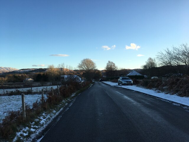
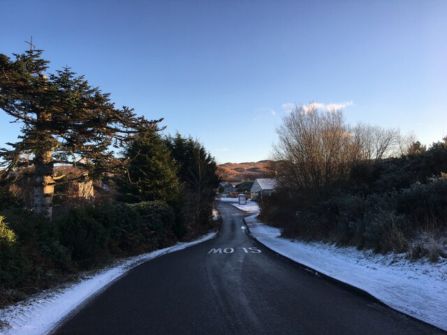
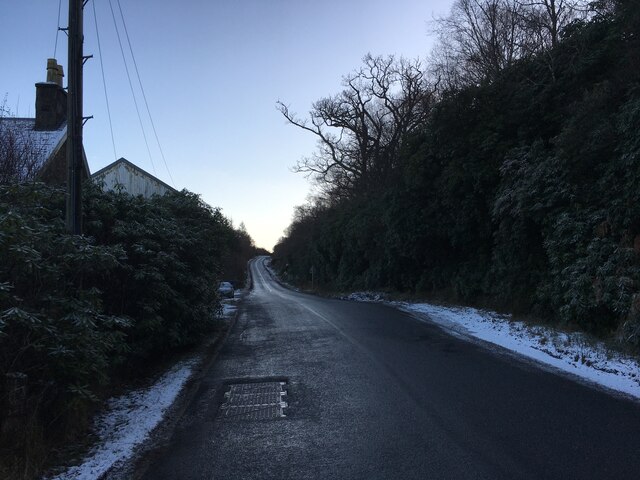
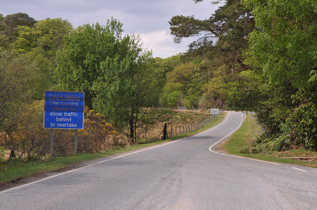
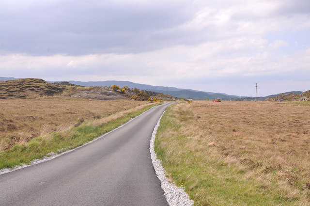
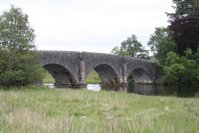
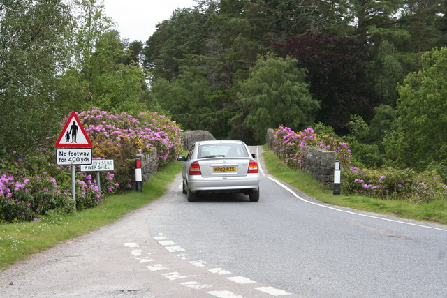
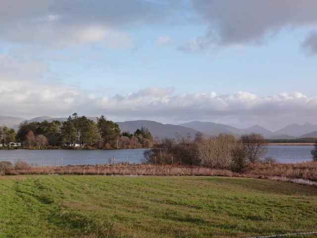
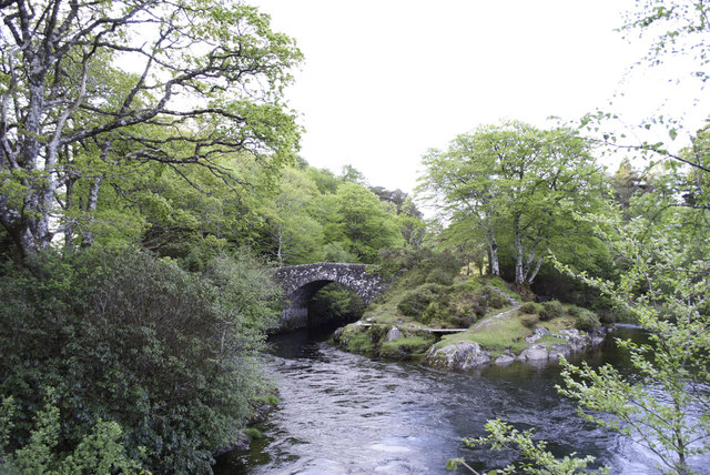
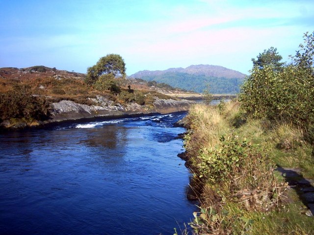
A' Mhointeach, also known as A'Mhoineach or Moy, is a small village located in Inverness-shire, Scotland. Situated in the Scottish Highlands, it lies approximately 14 miles northwest of the city of Inverness. The village is nestled on the eastern bank of the River Conon, near the A835 road that connects Ullapool and Dingwall.

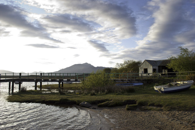
A' Mhointeach is known for its picturesque and tranquil setting, surrounded by rolling hills and stunning countryside. The village itself is relatively small, with a population of around 300 residents. It features a mix of traditional stone-built houses and newer residential developments.

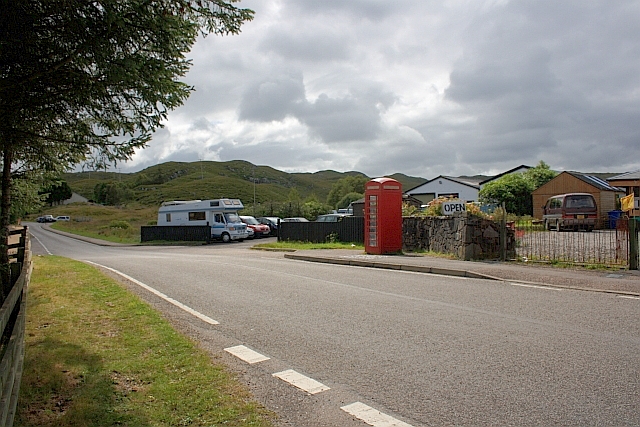
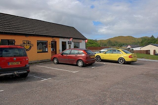
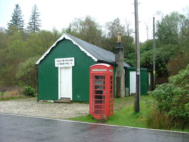
The village is well-served by amenities, including a primary school, a post office, and a local convenience store. There are also a few small businesses and services, such as a garage and a hair salon, catering to the needs of the community.

Nature enthusiasts are drawn to A' Mhointeach for its scenic beauty and outdoor recreational opportunities. The surrounding area offers ample opportunities for walking, hiking, and birdwatching. The nearby River Conon provides opportunities for fishing, with salmon and trout being the main catches.

Overall, A' Mhointeach offers a peaceful and idyllic setting, making it an attractive place for those seeking a quieter rural lifestyle while still being within commuting distance of Inverness.

If you have any feedback on the listing, please let us know in the comments section below.

A' Mhointeach Images

Images are sourced within 2km of 56.748497/-5.7961531 or Grid Reference NM6768. Thanks to Geograph Open Source API. All images are credited.

Rivet benchmark on Old Shiel Bridge There are lots of images of Old Shiel Bridge (for example, <a href="https://www.geograph.org.uk/photo/616317">NM6769 : Old Shiel Bridge</a>). On the bridge there is an interesting plaque <a href="https://www.geograph.org.uk/photo/7232192">NM6769 : The view from Old Shiel Bridge, and a plaque</a>, <a href="https://www.geograph.org.uk/photo/7232203">NM6769 : Plaque on Old Shiel Bridge</a>, and this  benchmark <span class="nowrap"><a title="https://www.bench-marks.org.uk/bm173516" rel="nofollow ugc noopener" href="https://www.bench-marks.org.uk/bm173516">Link</a><img style="margin-left:2px;" alt="External link" title="External link - shift click to open in new window" src="https://s1.geograph.org.uk/img/external.png" width="10" height="10"/></span>.
Rivet benchmark on Old Shiel Bridge
There are lots of images of Old Shiel Bridge (for example, NM6769 : Old Shiel Bridge). On the bridge there is an interesting plaque NM6769 : The view from Old Shiel Bridge, and a plaque, NM6769 : Plaque on Old Shiel Bridge, and this benchmark LinkExternal link.
The view from Old Shiel Bridge, and a plaque There is a plaque <a href="https://www.geograph.org.uk/photo/7232203">NM6769 : Plaque on Old Shiel Bridge</a> on the south parapet of Old Shiel Bridge <a href="https://www.geograph.org.uk/photo/616317">NM6769 : Old Shiel Bridge</a>. The photo shows the view from the bridge as well.
The view from Old Shiel Bridge, and a plaque
There is a plaque NM6769 : Plaque on Old Shiel Bridge on the south parapet of Old Shiel Bridge NM6769 : Old Shiel Bridge. The photo shows the view from the bridge as well.
Plaque on Old Shiel Bridge This is the plaque shown in <a href="https://www.geograph.org.uk/photo/7232192">NM6769 : The view from Old Shiel Bridge, and a plaque</a>.
Plaque on Old Shiel Bridge
Grounds of Our Lady of the Angels, Mingarry
Minor road towards Moss
Frozen shoreline at Moss
A861 in Acharacle
A861 in Acharacle
A861 in Acharacle
A861 in Acharacle
A861 near Acharacle
A861 near Acharacle
A861 near Blain
A861 near Blain
B8044 near Acharacle
Shiel bridge from a northerly viewpoint The water here today was crystal clear.
Shiel bridge from a northerly viewpoint
The water here today was crystal clear.
A Sunday motorist crosses Shiel Bridge You can tell from the flora that there is no shortage of rainfall in these climes. Everywhere the vegetation is lush and oozes health when the sun shines.
A Sunday motorist crosses Shiel Bridge
You can tell from the flora that there is no shortage of rainfall in these climes. Everywhere the vegetation is lush and oozes health when the sun shines.
Telephone Box, Acharacle
Mo's Fish and Chips
Mo's Fish and Chips
Meadow at Acharacle Loch Shiel in the distance.
Meadow at Acharacle
Loch Shiel in the distance.
Old Shiel Bridge
Old Shiel Bridge
Early morning at Loch Shiel Pier
Show me another place!

A' Mhointeach is located at Grid Ref: NM6768 (Lat: 56.748497, Lng: -5.7961531)

Unitary Authority: Highland

Police Authority: Highlands and Islands

Also known as: Moss

What 3 Words

///comedians.thirsty.pylons. Near Arisaig, Highland

Related Wikis

Acharacle

Acharacle (, Scottish Gaelic: Àth Tharracail) is a village in Ardnamurchan, Lochaber, within the county of Argyll. It is in the Highland Council area of...

Garmoran

Garmoran is an area of western Scotland. It lies at the south-western edge of the present Highland Region. It includes Knoydart, Morar, Moidart, Ardnamurchan...

Ardshealach

Ardshealach (Scottish Gaelic:) is a small hamlet located close to the south west shore of Loch Shiel in Sunart, Lochaber, Highland, less than one mile...

River Shiel

The River Shiel (Scottish Gaelic: Abhainn Seile) is a four kilometre long river in Acharacle, Highland. It flows out of the Loch Shiel into the sea at...

Kentra

Kentra is a hamlet overlooking the east coast of Kentra Bay, on the north east end of the Ardnamurchan peninsula near Acharacle, Scottish Highlands. It...

Dalnabreck

Dalnabreck (Scottish Gaelic: Dail nam Breac) is a small village, lying at the southwest end of Loch Shiel in Sunart, Lochaber, Scottish Highlands and is...

Claish Moss

Claish Moss is an upland blanket bog on the south side of Loch Shiel, in the Sunart district of the west highlands of Scotland The Moss is designated as...

Salen, Ardnamurchan

Salen (Scottish Gaelic: An t-Sàilein) is a coastal village on the Ardnamurchan peninsula, overlooking Salen Bay which is an inlet of the sea loch, Loch...

Nearby Amenities

Located within 500m of 56.748497,-5.7961531
Acharacle War Memorial
Historic: memorial
Lat/Long: 56.7488394/-5.8029695
Post Box
Collection Times: Mo-Fr 09:45; Sa 09:45
Operator: Royal Mail
Operator Wikidata: Q638098
Post Box Mounting: pole
Post Box Type: lamp
Ref: PH36 92
Royal Cypher: scottish_crown
Lat/Long: 56.7470226/-5.8010376
Power: pole
Lat/Long: 56.7464976/-5.8028103
Power: pole
Lat/Long: 56.7468359/-5.8018018
Power: pole
Lat/Long: 56.7472102/-5.8010803
Power: pole
Lat/Long: 56.7477522/-5.8005694
Power: pole
Lat/Long: 56.7481963/-5.8001563
Power: pole
Lat/Long: 56.7486684/-5.7997325
Power: pole
Lat/Long: 56.7491581/-5.7992712
Power: pole
Lat/Long: 56.7496332/-5.7988474
Power: pole
Lat/Long: 56.7499494/-5.79734
Power: pole
Lat/Long: 56.7501567/-5.7963154
Power: pole
Lat/Long: 56.7502552/-5.7958862
Power: pole
Lat/Long: 56.7509861/-5.7956019
Power: pole
Lat/Long: 56.7516964/-5.7953498
Power: pole
Lat/Long: 56.7522964/-5.794698
Power: pole
Transformer: distribution
Lat/Long: 56.7467212/-5.803159
Power: pole
Lat/Long: 56.746352/-5.8027031
Moss
Name Gd: A' Mhòinteach
Place: hamlet
Source: OS Open Names
Lat/Long: 56.7484766/-5.7961312
Power: pole
Lat/Long: 56.746074/-5.8022028
Power: pole
Lat/Long: 56.7459328/-5.8019346
Power: pole
Lat/Long: 56.7450386/-5.8006123
Power: pole
Lat/Long: 56.7445841/-5.7999015
The data included in this document is from www.openstreetmap.org. The data is made available under ODbL.

Have you been to A' Mhointeach?

Leave your review of A' Mhointeach below (or comments, questions and feedback).