Copeland

Area in Cumberland Copeland

England

Copeland

Worm Gill Looking northeast towards Long and Short Grains
Worm Gill Credit: Michael Graham

Copeland is a district located in the county of Cumbria, England. It encompasses a large area in the western part of the county, bordering the Irish Sea to the west and the Lake District National Park to the east. With its administrative center in Whitehaven, Copeland covers approximately 480 square miles (1,200 square kilometers) and has a population of around 70,000.

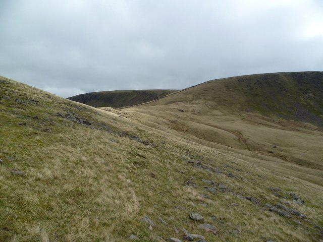
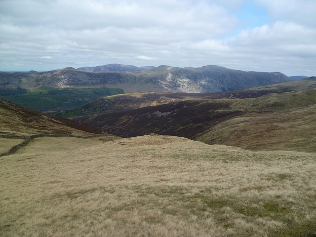
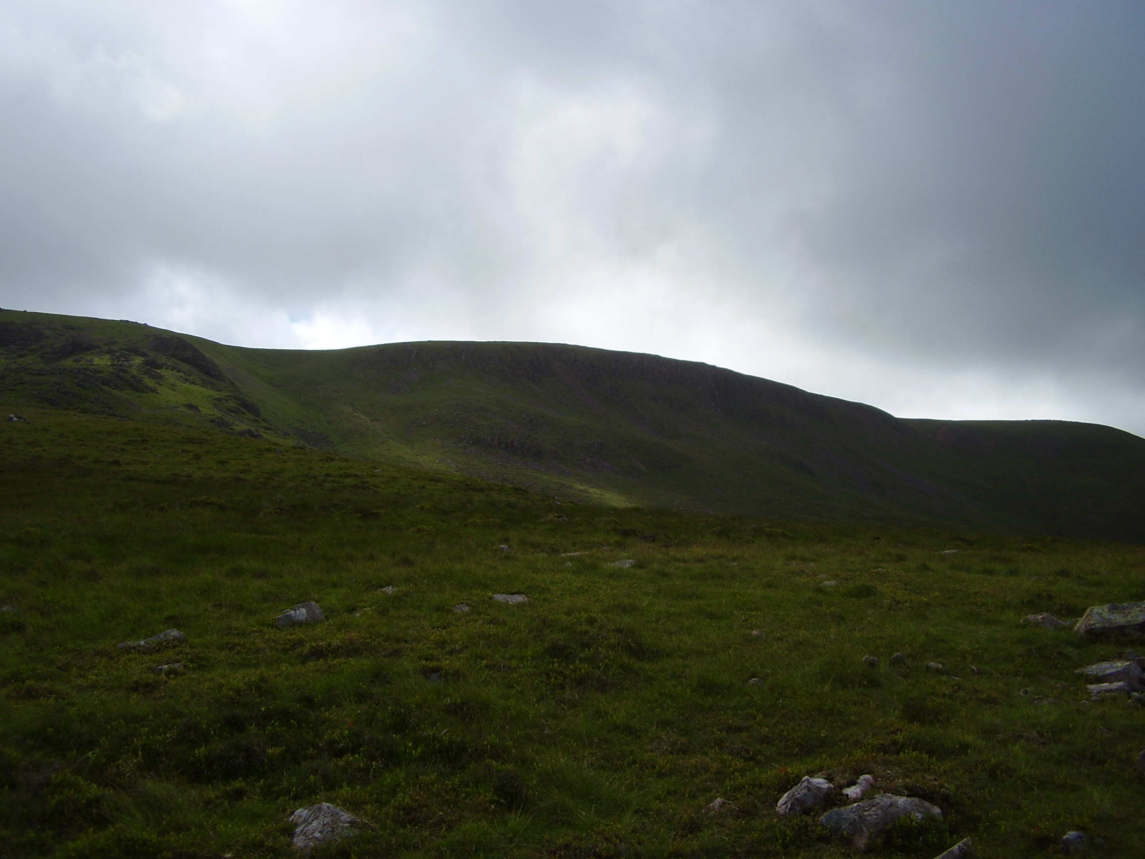
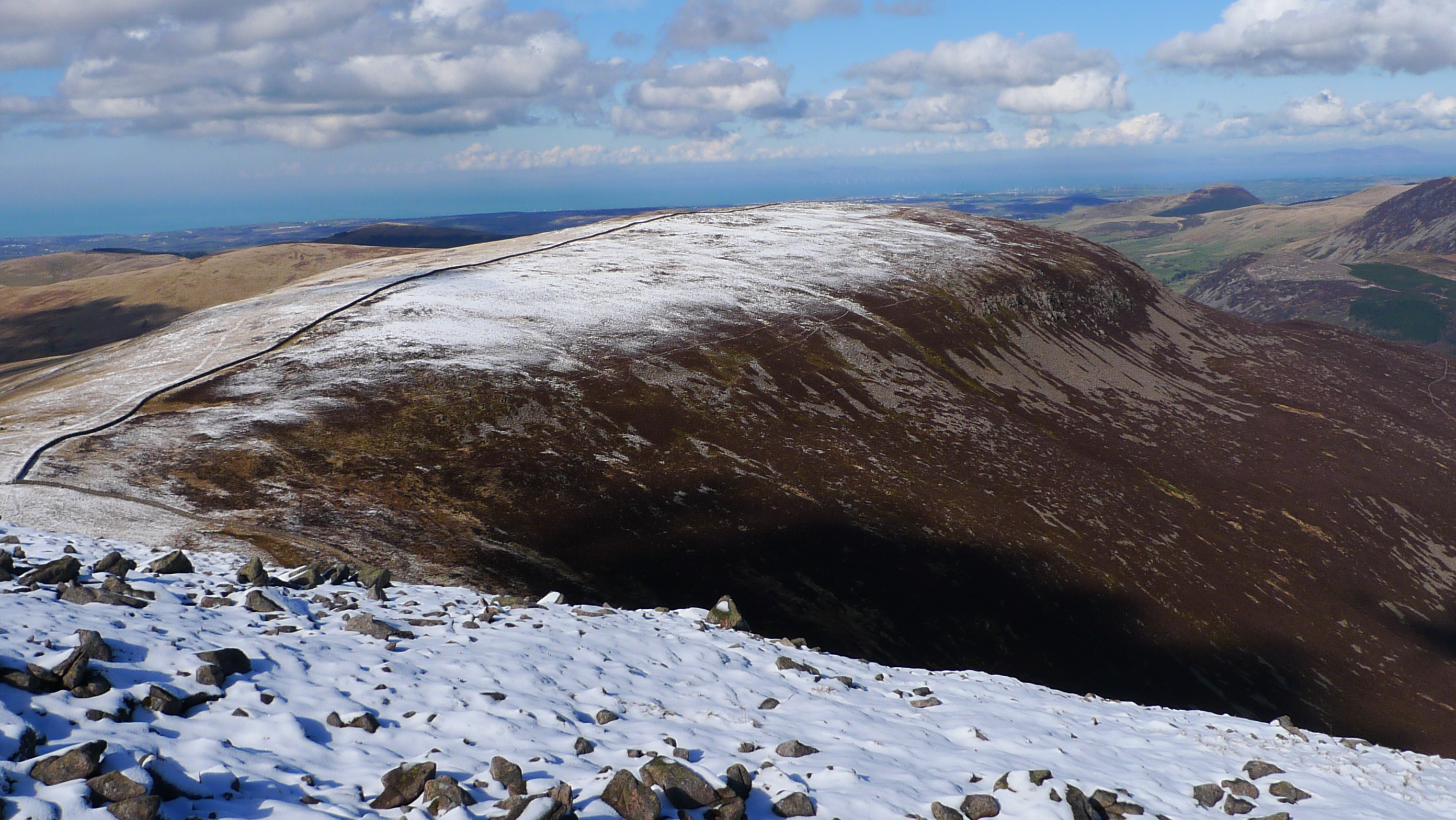
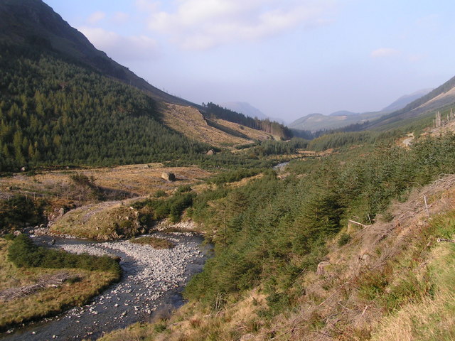
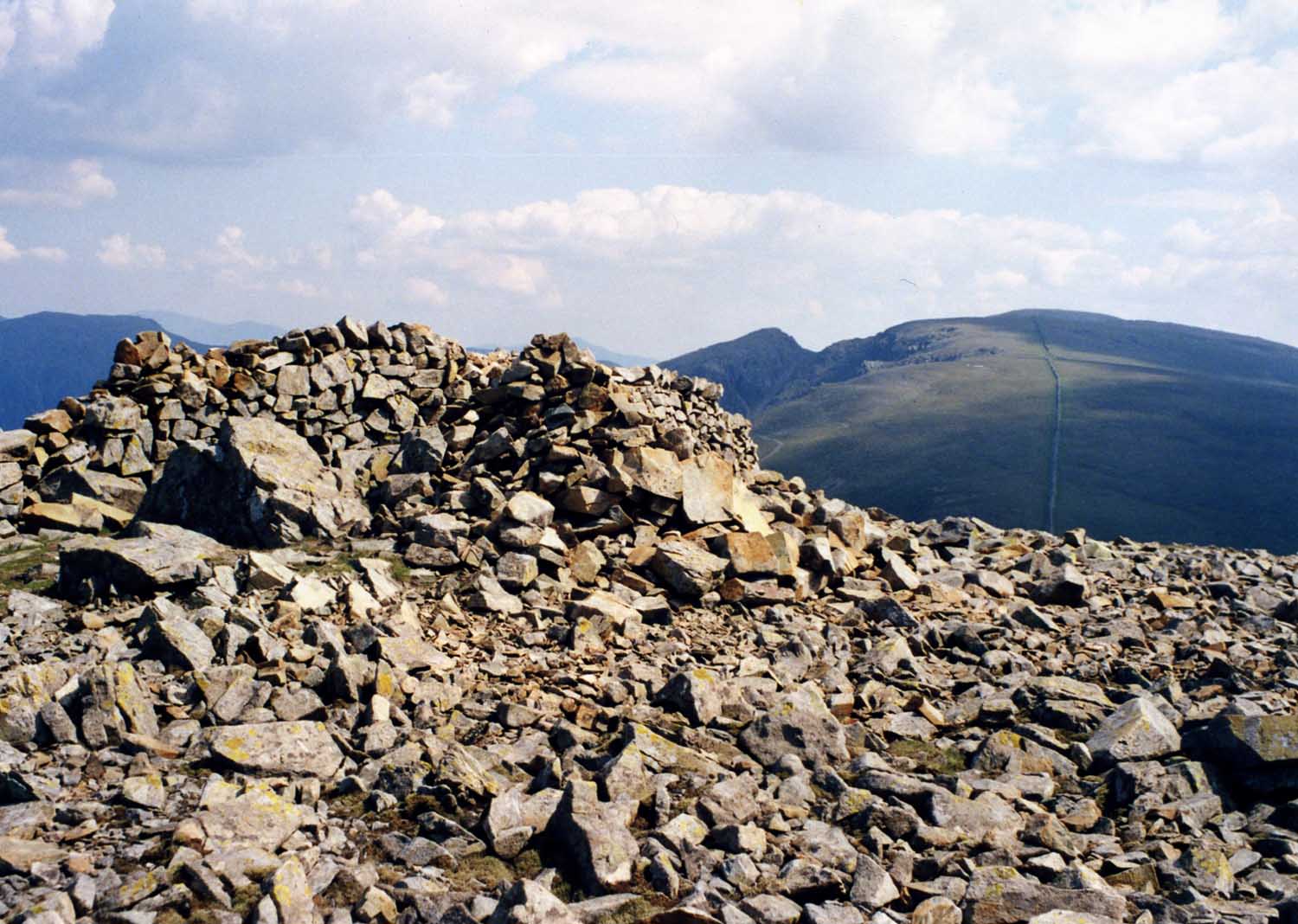
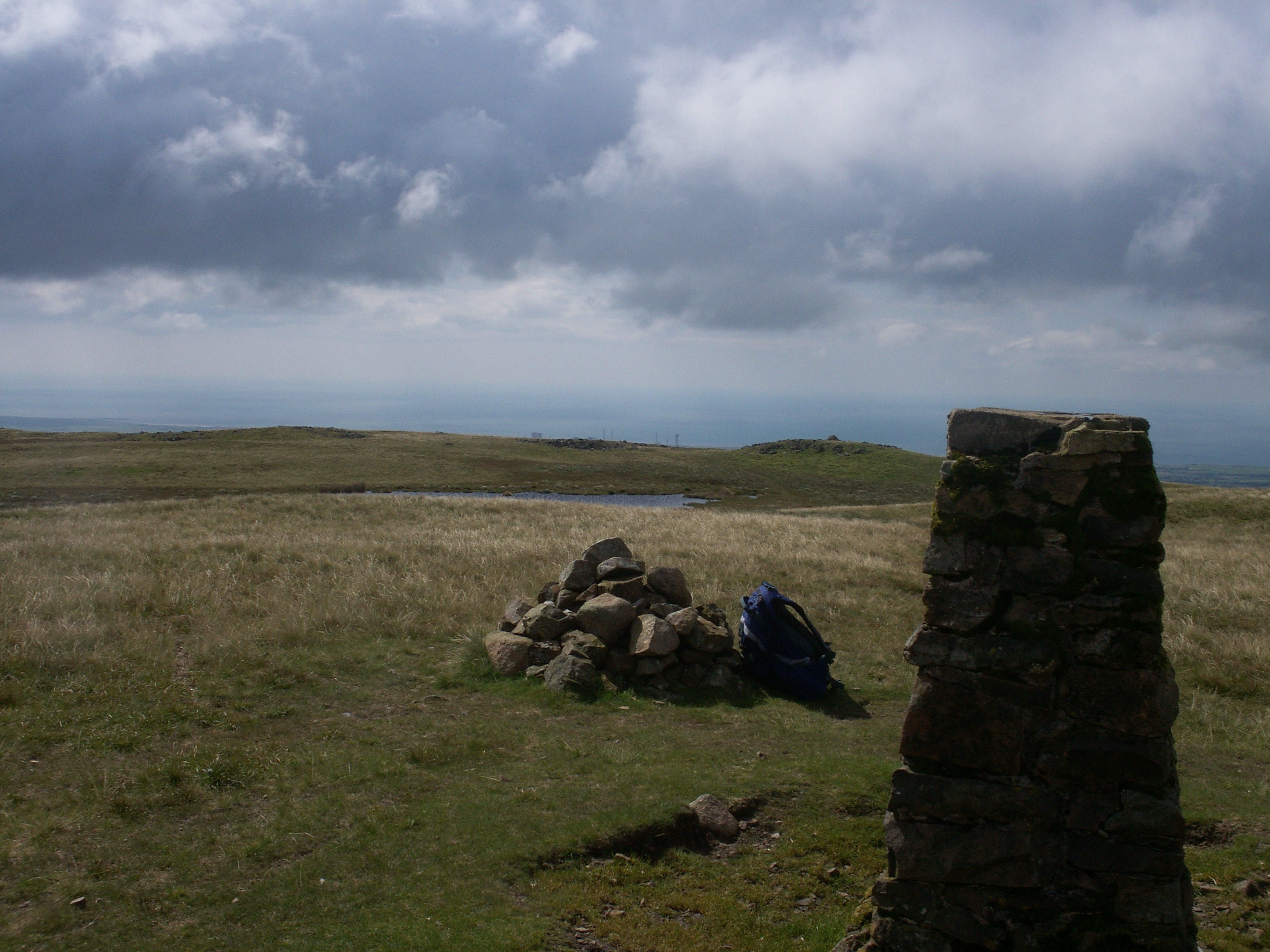
The district is known for its diverse landscapes, ranging from rugged coastal cliffs and sandy beaches to rolling hills and picturesque valleys. The Lake District, a UNESCO World Heritage Site, occupies a significant portion of Copeland, attracting tourists with its stunning lakes, mountains, and hiking trails.

Historically, Copeland has been an important industrial area, particularly in coal mining and iron ore extraction. The remnants of its industrial past, including mines, railways, and harbors, can still be seen today. However, the decline of these industries has led to a shift towards other sectors such as tourism, healthcare, and nuclear energy.

Copeland is also home to several notable landmarks and attractions. St. Bees Head, a prominent headland, offers breathtaking views of the coastline and is a popular spot for birdwatching. The Ravenglass and Eskdale Railway, a narrow-gauge steam railway, provides a scenic journey through the Eskdale Valley. The town of Whitehaven boasts a rich maritime heritage with its historic harbor and Georgian architecture.

Overall, Copeland, Cumberland, offers a combination of natural beauty, cultural heritage, and recreational opportunities, making it an appealing destination for both residents and visitors alike.

If you have any feedback on the listing, please let us know in the comments section below.

Copeland Images

Images are sourced within 2km of 54.4768/-3.3672 or Grid Reference NY1109. Thanks to Geograph Open Source API. All images are credited.

Worm Gill Looking northeast towards Long and Short Grains
Worm Gill
Looking northeast towards Long and Short Grains
Bleaberry Gill W of Iron Crag
The col between Caw Fell and Iron Crag The Ennerdale Wall, a major feature of the Copeland Forest, is clearly seen here. The more distant stretches, on Iron Crag, have been renovated. The wall to Caw Fell (behind the camera) is currently being restored. I do not know who is paying for what must be a very expensive operation.

There is an easy path, albeit quite long, from Heckbarley to Iron Crag and Caw Fell, which is clearly seen here. On the return, it is better to continue beside the wall rather than take the tempting short cut to the left.
The col between Caw Fell and Iron Crag
The Ennerdale Wall, a major feature of the Copeland Forest, is clearly seen here. The more distant stretches, on Iron Crag, have been renovated. The wall to Caw Fell (behind the camera) is currently being restored. I do not know who is paying for what must be a very expensive operation. There is an easy path, albeit quite long, from Heckbarley to Iron Crag and Caw Fell, which is clearly seen here. On the return, it is better to continue beside the wall rather than take the tempting short cut to the left.
Repairing the Ennerdale Wall Looking towards the cairn (left of centre) at the west end of Caw Fell, a very minor top.
Repairing the Ennerdale Wall
Looking towards the cairn (left of centre) at the west end of Caw Fell, a very minor top.
Approaching the summit of Caw Fell Traditionally the cairn, away to the left, is assumed to mark the highest point of Caw Fell. But I wonder whether the spot at the foot of the wall ahead is actually higher.
Approaching the summit of Caw Fell
Traditionally the cairn, away to the left, is assumed to mark the highest point of Caw Fell. But I wonder whether the spot at the foot of the wall ahead is actually higher.
Lunch, Caw Fell On the top sheltering from the gale
Lunch, Caw Fell
On the top sheltering from the gale
Long Grain
Long Grain
Caw Fell The whole watershed of Ennerdale must have at one time been enclosed. Over many fells, Red Pike, High Crag, Green and Great Gable and Kirk Fell, the traces of a wire fence can still be followed. Useful in mist. On Caw Fell, bordering National Trust land, there is a dry stone wall which is currently being repaired. The wall has been dismantled down to the foundation and the stones laid to one side. North York Moors dry stone walls are laid in courses, larger stones at the bottom gradually reduced in height but the walls here have no courses and are laid randomly. Must be the nature of the rock, North York Moors sandstones being easier to dress. The steel posts will form the ‘A’ frame, a guide to build the batter of the wall to. Another thing I noticed is that the coping stones, the top course of the wall, are larger in width resulting in an overhang. A farmer once told me this was traditionally to stop wolves from climbing the wall. Presumably nowadays it is the Herdwick sheep that might be tempted who think nothing of grazing on a vertical crag face. There was no one around working so it must be a long term project.
Caw Fell
The whole watershed of Ennerdale must have at one time been enclosed. Over many fells, Red Pike, High Crag, Green and Great Gable and Kirk Fell, the traces of a wire fence can still be followed. Useful in mist. On Caw Fell, bordering National Trust land, there is a dry stone wall which is currently being repaired. The wall has been dismantled down to the foundation and the stones laid to one side. North York Moors dry stone walls are laid in courses, larger stones at the bottom gradually reduced in height but the walls here have no courses and are laid randomly. Must be the nature of the rock, North York Moors sandstones being easier to dress. The steel posts will form the ‘A’ frame, a guide to build the batter of the wall to. Another thing I noticed is that the coping stones, the top course of the wall, are larger in width resulting in an overhang. A farmer once told me this was traditionally to stop wolves from climbing the wall. Presumably nowadays it is the Herdwick sheep that might be tempted who think nothing of grazing on a vertical crag face. There was no one around working so it must be a long term project.
Tarn, Iron Crag
Tarn, Iron Crag
Dry stone wall rebuilding, Caw Fell
Col Under Caw Fell Approaching the col beyond Bleaberry Gill
Col Under Caw Fell
Approaching the col beyond Bleaberry Gill
Ascending Caw Fell Above Silver Cove. Grasmoor and Red Pike Buttermere on the skyline
Ascending Caw Fell
Above Silver Cove. Grasmoor and Red Pike Buttermere on the skyline
On Caw Fell Rusting fence posts  sit unused from the renovation of the Ennerdale Fence
On Caw Fell
Rusting fence posts sit unused from the renovation of the Ennerdale Fence
Wall Junction On the ascent of Caw
Wall Junction
On the ascent of Caw
Shelter, Caw Fell The shelter is marked on the map and appears to be rather ancient
Shelter, Caw Fell
The shelter is marked on the map and appears to be rather ancient
Cairn, Caw Fell The old cairn has a rock painted red in it.
Cairn, Caw Fell
The old cairn has a rock painted red in it.
On Caw Fell On the edge of the steep crags above Bleaberry Gill. Lank Rigg in shot.
On Caw Fell
On the edge of the steep crags above Bleaberry Gill. Lank Rigg in shot.
Descending Caw Fell Descending through the boulder field on the unfrequented and pathless south western flank of the fell. Seatallen in shot.
Descending Caw Fell
Descending through the boulder field on the unfrequented and pathless south western flank of the fell. Seatallen in shot.
Show me another place!

Copeland is located at Grid Ref: NY1109 (Lat: 54.4768, Lng: -3.3672)

Administrative County: Cumbria

District: Copeland

Police Authority: Cumbria

What 3 Words

///acids.tins.desiring. Near Egremont, Cumbria

Nearby Locations

Copeland

Related Wikis

Caw Fell

Caw Fell is a fell in the English Lake District, standing between Haycock the Lank Rigg group. It occupies a wide upland area with Ennerdale to the north...

Iron Crag

Iron Crag is a mountain in the English Lake District, standing between Crag Fell and Caw Fell. The name of the fell is the source of some confusion, as...

Pillar and Ennerdale Fells

Pillar and Ennerdale Fells is a Site of Special Scientific Interest (SSSI) in Ennerdale, Cumbria, England. Protected for its biological interest, the site...

River Liza

The River Liza flows through Ennerdale, a glacial valley in Cumbria, England. The river is allowed to flow freely as part of a rewilding project. The...

Seatallan

Seatallan is a mountain in the western part of the English Lake District. It is rounded, grassy and fairly unassuming, occupying a large amount of land...

Haycock (Lake District)

Haycock is a mountain in the western part of the English Lake District. It rises between Scoat Fell and Caw Fell to the south of Ennerdale and the north...

Lank Rigg

Lank Rigg is a fell in the English Lake District. It stands to the south of Ennerdale in the Western Fells. A sprawling hill with gentle grassy slopes...

Ennerdale Rural District

Ennerdale was a rural district in the county of Cumberland in England from 1934 to 1974. It was created in 1934 by a County Review Order, by the merger...

Have you been to Copeland?

Leave your review of Copeland below (or comments, questions and feedback).