The Fens
Area in Cambridgeshire
England
The Fens

The requested URL returned error: 429 Too Many Requests
If you have any feedback on the listing, please let us know in the comments section below.
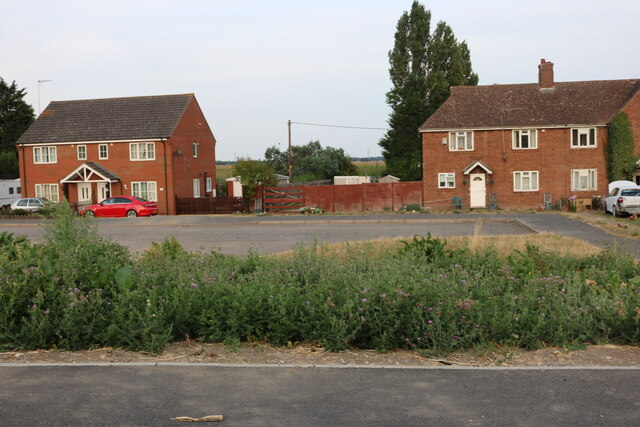
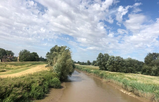
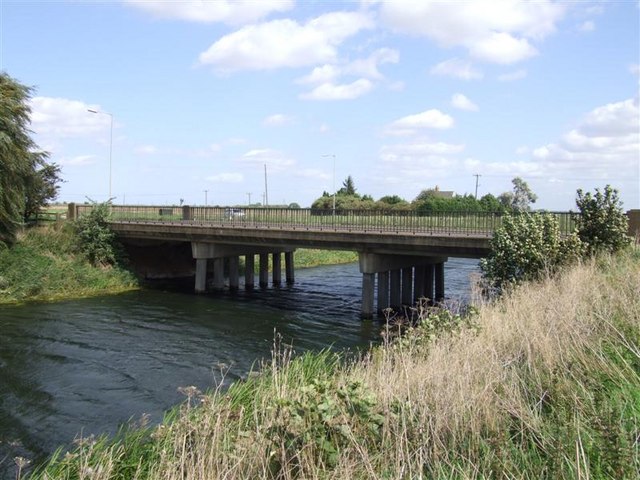
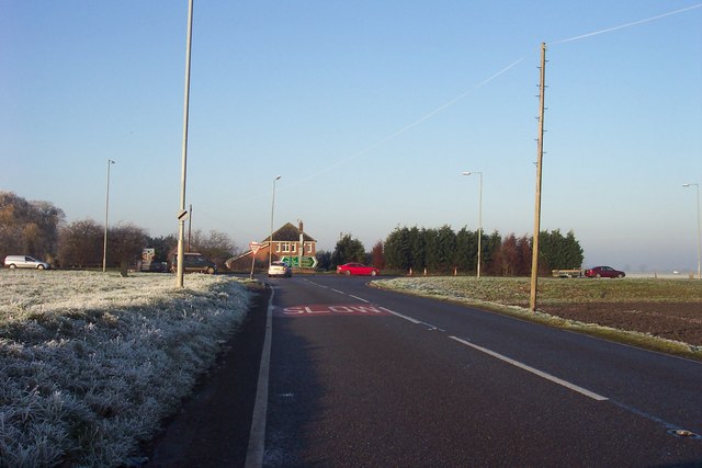
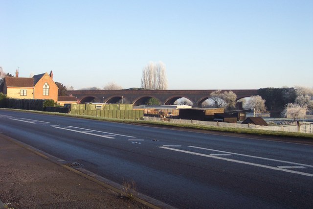
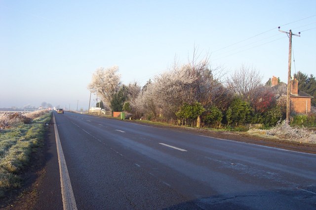
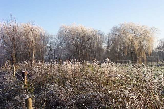
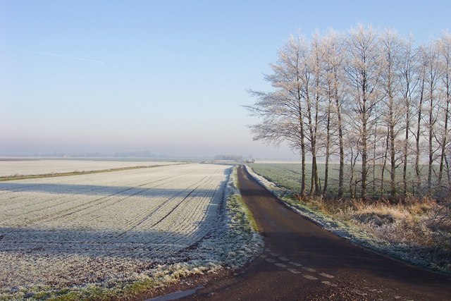
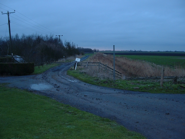
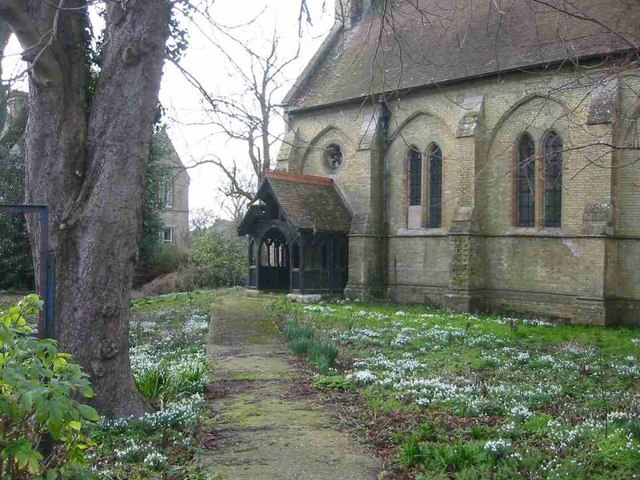
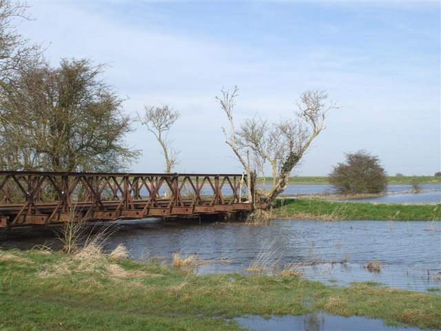
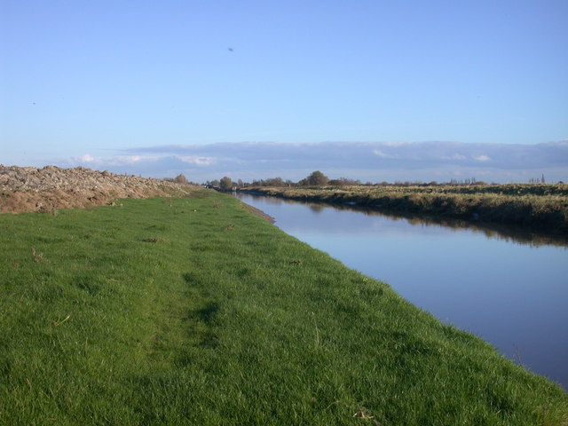
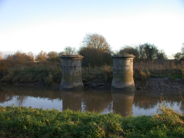
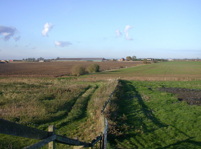
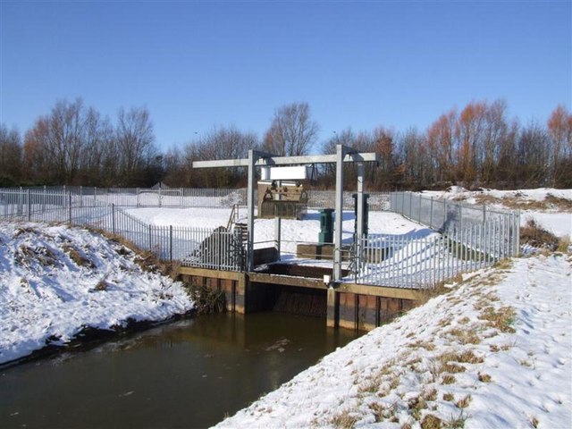
The Fens Images
Images are sourced within 2km of 52.6053/0.0608 or Grid Reference TF3902. Thanks to Geograph Open Source API. All images are credited.


The Fens is located at Grid Ref: TF3902 (Lat: 52.6053, Lng: 0.0608)
Division: Isle of Ely
Administrative County: Cambridgeshire
Police Authority: Cambridgeshire
Also known as: The Great Fen, Fenland
What 3 Words
///retailing.warrior.stove. Near March, Cambridgeshire
Nearby Locations
Related Wikis

Guyhirne railway station
Guyhirne railway station was a station at Ring's End, near Guyhirn, Cambridgeshire on the Great Northern and Great Eastern Joint Railway between Spalding...

Ring's End
Ring's End is a hamlet near Guyhirn in the Isle of Ely in Cambridgeshire, England. The population is included in the civil parish of Elm in the Fenland...

Ring's End Local Nature Reserve
Ring's End is an 11 hectare Local Nature Reserve which runs south from the hamlet of Ring's End towards March in the Isle of Ely, Cambridgeshire. It is...
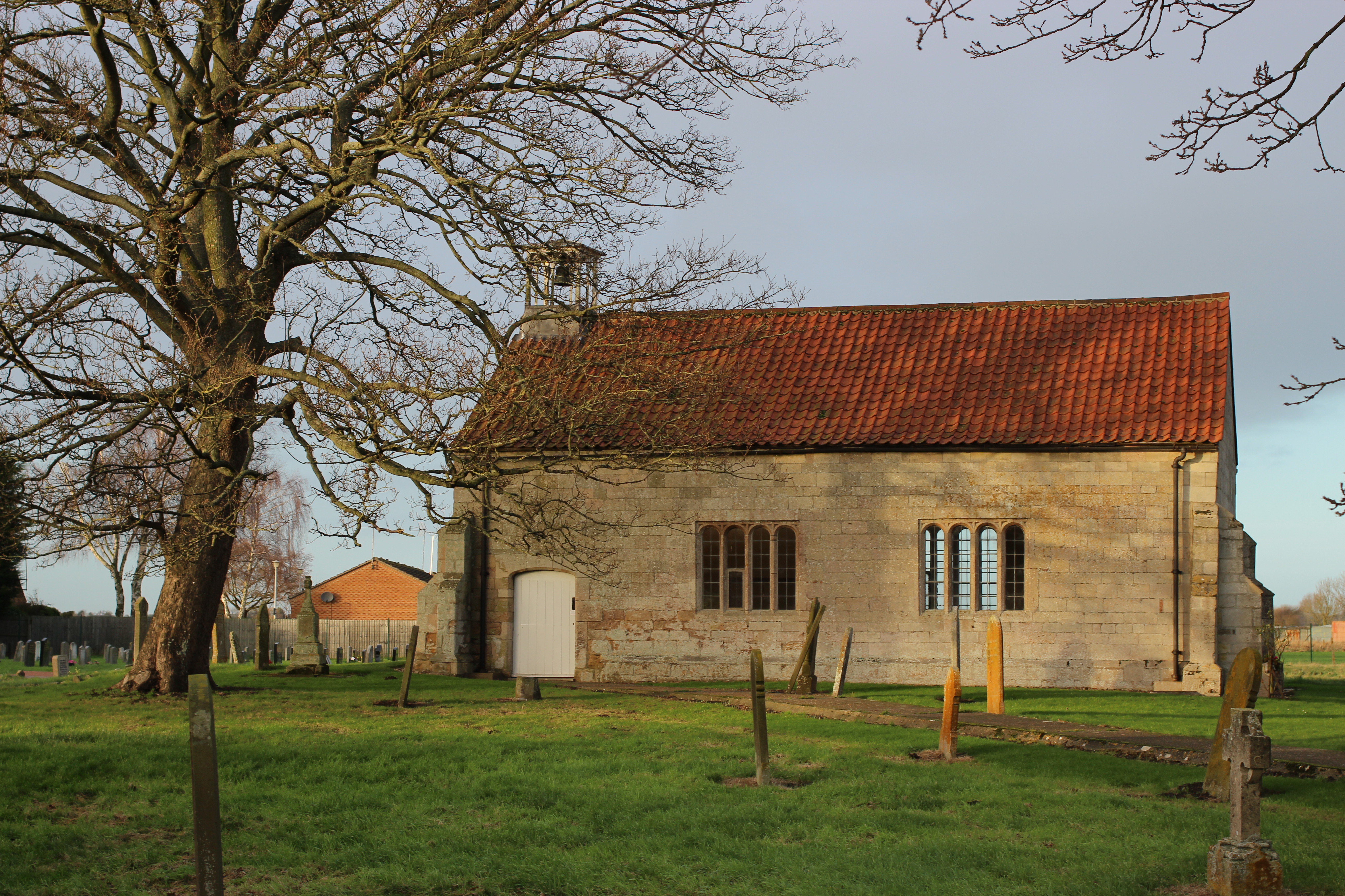
Guyhirn Chapel of Ease
Guyhirn Chapel of Ease, also known as Guyhirn Old Church, is a small rectangular chapel in Guyhirn, Cambridgeshire noted for being built during the Puritan...
Nearby Amenities
Located within 500m of 52.6053,0.0608Have you been to The Fens?
Leave your review of The Fens below (or comments, questions and feedback).