Maen y Bugael
Island in Anglesey
Wales
Maen y Bugael
The requested URL returned error: 429 Too Many Requests
If you have any feedback on the listing, please let us know in the comments section below.
Maen y Bugael Images
Images are sourced within 2km of 53.417564/-4.5545111 or Grid Reference SH3094. Thanks to Geograph Open Source API. All images are credited.
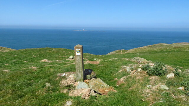
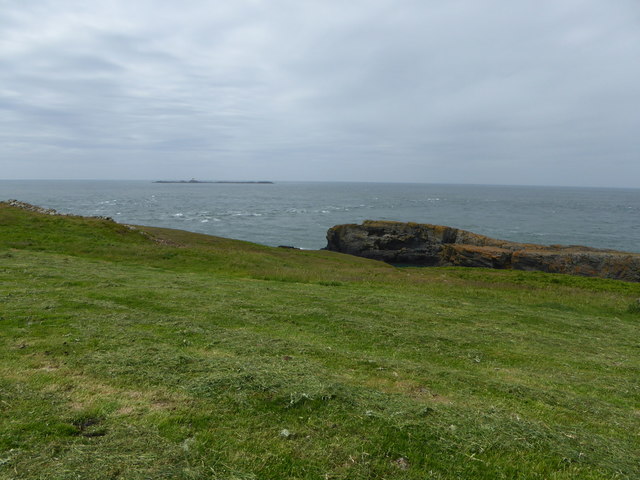
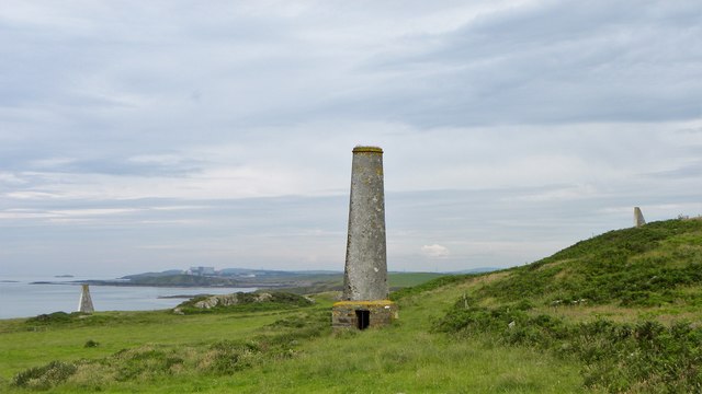
![Coastal cattle near Carmel Head Following the line of waymarkers above the coastline here just led to an electric fence and a large herd of dairy cattle [my map being too old to show the true line of the coast path]. In the hazy distance is the now decomissioned Wylfa nuclear power station.](https://s0.geograph.org.uk/geophotos/05/46/96/5469672_412f55a8.jpg)
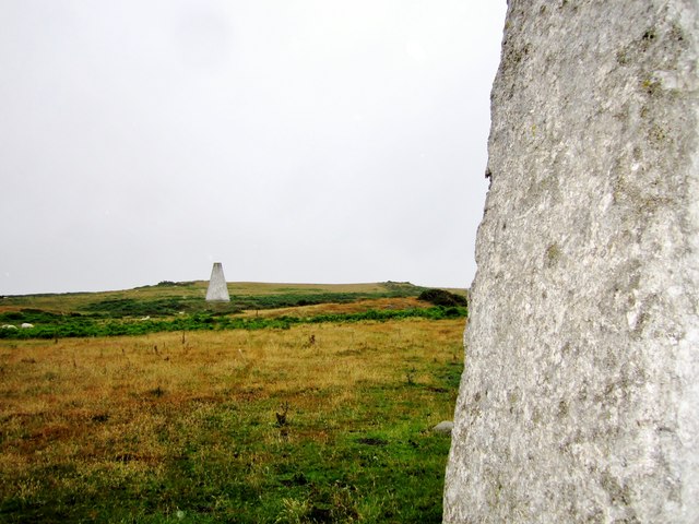
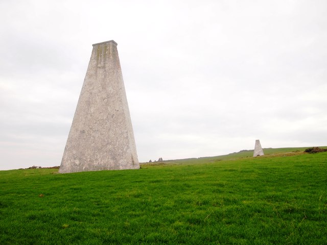
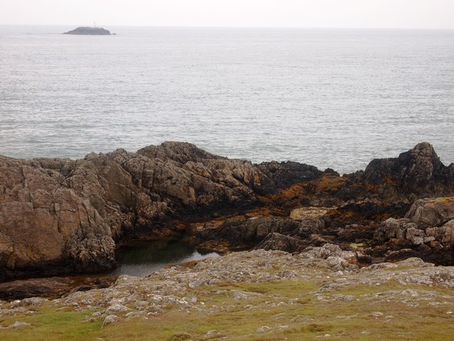
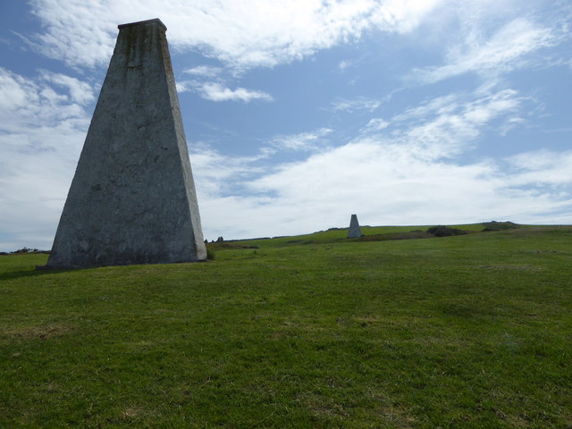
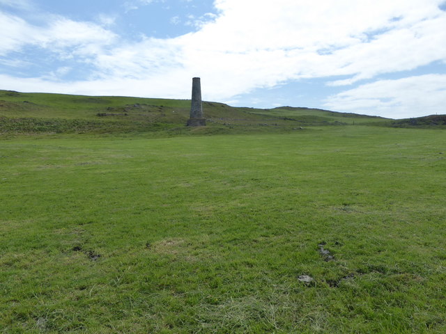
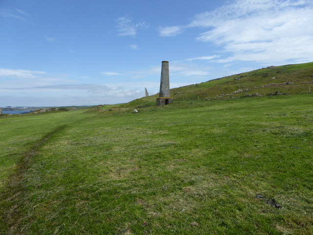
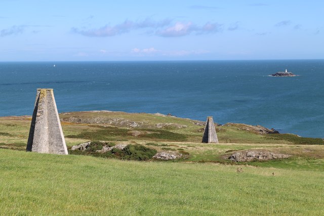
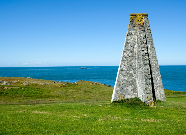
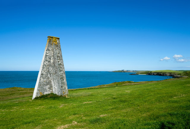
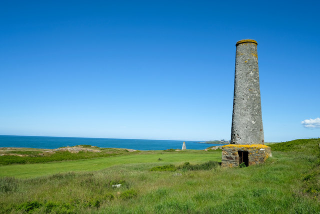
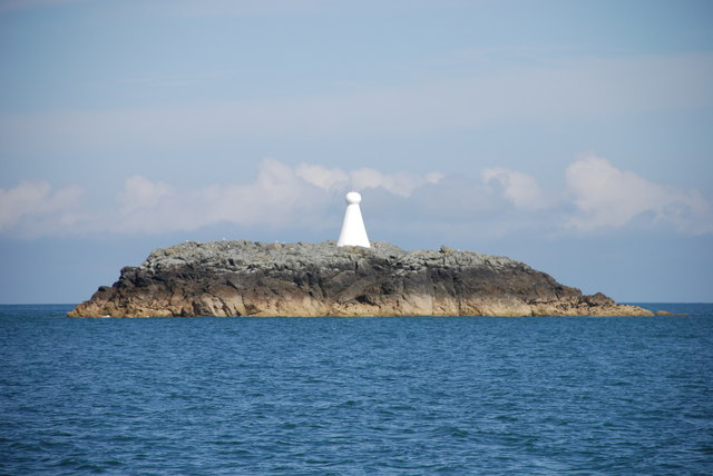
![The 'white ladies' From this angle the white ladies look rather grey. These two navigation markers line up with a third one [just visible] on the islet of West Mouse and were erected in the 1860&#039;s to help guide shipping past dangerous reefs offshore.](https://s0.geograph.org.uk/geophotos/05/47/00/5470004_fb0ed483.jpg)
Maen y Bugael is located at Grid Ref: SH3094 (Lat: 53.417564, Lng: -4.5545111)
Unitary Authority: Isle of Anglesey
Police Authority: North Wales
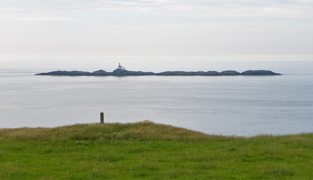
Also known as: West Mouse
What 3 Words
///cringe.classic.submariner. Near Cemaes Bay, Isle of Anglesey
Nearby Locations
Related Wikis
West Mouse
West Mouse (Welsh: Maen y Bugail) is an islet lying 1.1 kilometres (0.68 mi) off the north-west coast of Anglesey, Wales. Its maximum dimensions are 92...
Carmel Head
Carmel Head (Welsh: Trwyn y Gadair) is a prominent coastal headland on the northwest tip of the island of Anglesey. It is a designated SSSI because of...

Henborth
Henborth is a Site of Special Scientific Interest (or SSSI) in Anglesey, North Wales. It has been designated as a Site of Special Scientific Interest since...
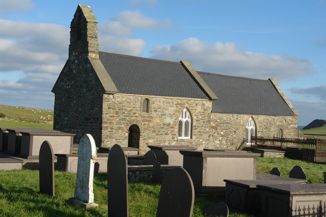
St Rhwydrus's Church, Llanrhwydrus
St Rhwydrus's Church is a medieval church in the village of Cemlyn on the Isle of Anglesey, Wales. The building dates from the mid-12th century and underwent...
Related Videos

Ynys Y Fydlyn (Wales)
Ynys y Fydlyn, north Wales #wales #ltjones.


Flying around Traeth Ynys y Fydlyn, Anglesey
Flying #djifpv around a beautiful spot in Anglesey.

Traeth Ynys y Fydlyn, Anglesey,North Wales By Drone | DJI Mavic 2 Pro | 18.11.2018
We visited here at this windy morning. Beautiful place well worth a visit.
Nearby Amenities
Located within 500m of 53.417564,-4.5545111Have you been to Maen y Bugael?
Leave your review of Maen y Bugael below (or comments, questions and feedback).