Swelly Rock
Island in Caernarfonshire
Wales
Swelly Rock
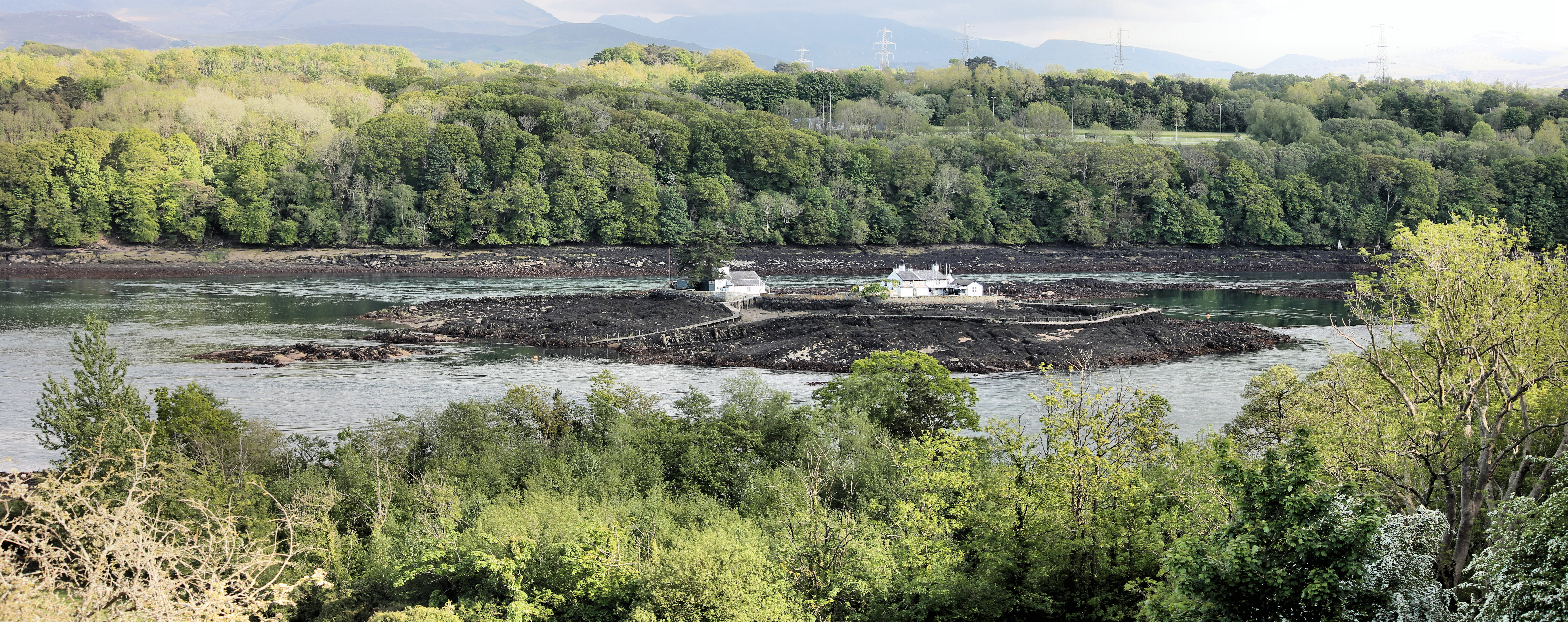
Swelly Rock is a small uninhabited island located off the northwestern coast of Wales in Caernarfonshire. Situated in the Irish Sea, it is part of a cluster of islands known as the Swellies. With an area of approximately 0.03 square kilometers, Swelly Rock is a rocky outcrop characterized by its jagged cliffs and rugged terrain.
The island's rocky features are a result of its volcanic origins, with basalt columns and boulders scattered along its shoreline. Swelly Rock is also known for its unique wildlife, serving as a breeding ground for various seabird species such as kittiwakes, guillemots, and razorbills. These birds can often be seen nesting among the cracks and crevices of the cliffs.
Due to its isolated location and challenging access, Swelly Rock is not open to the public and lacks any permanent human presence. However, it is a popular destination for birdwatchers and wildlife enthusiasts who venture to the nearby Menai Strait or take boat trips to catch a glimpse of the island's avian inhabitants.
The waters surrounding Swelly Rock are known for their strong tidal currents, making navigation treacherous for ships. Its location within the Swellies also contributes to the challenging maritime conditions, as the area is notorious for its swirling and unpredictable currents.
Swelly Rock, with its dramatic landscape and rich biodiversity, remains a hidden gem within the Caernarfonshire coastline, offering a glimpse into the raw beauty of the natural world.
If you have any feedback on the listing, please let us know in the comments section below.
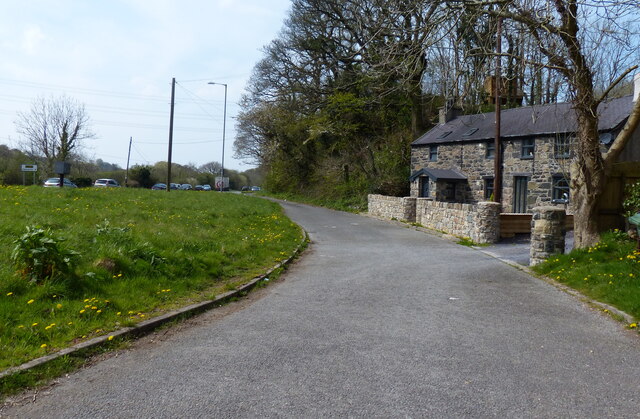
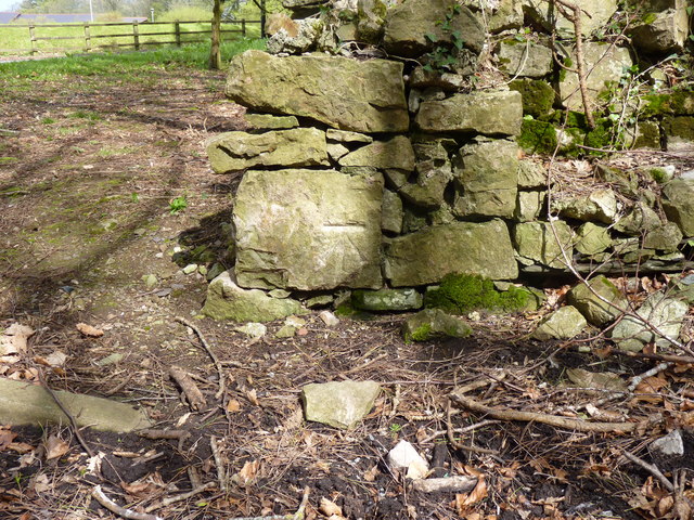
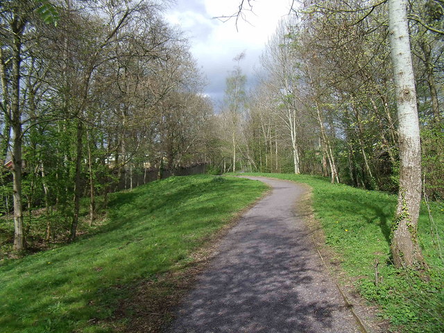
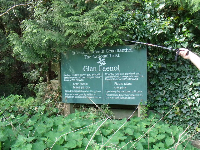
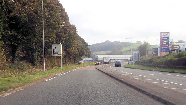
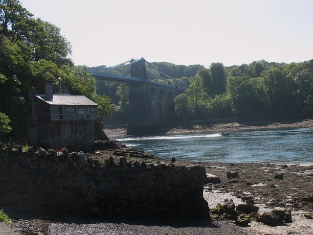
Swelly Rock Images
Images are sourced within 2km of 53.219563/-4.1742718 or Grid Reference SH5471. Thanks to Geograph Open Source API. All images are credited.


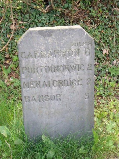

Swelly Rock is located at Grid Ref: SH5471 (Lat: 53.219563, Lng: -4.1742718)
Unitary Authority: Gwynedd
Police Authority: North Wales
Also known as: Carreg Pwll
What 3 Words
///grumbles.sprinter.laughs. Near Menai Bridge, Isle of Anglesey
Nearby Locations
Related Wikis

Swellies
The Swellies (or Swillies - Welsh: Pwll Ceris) is a stretch of the Menai Strait in North Wales. The most popular use of the name is for the stretch between...
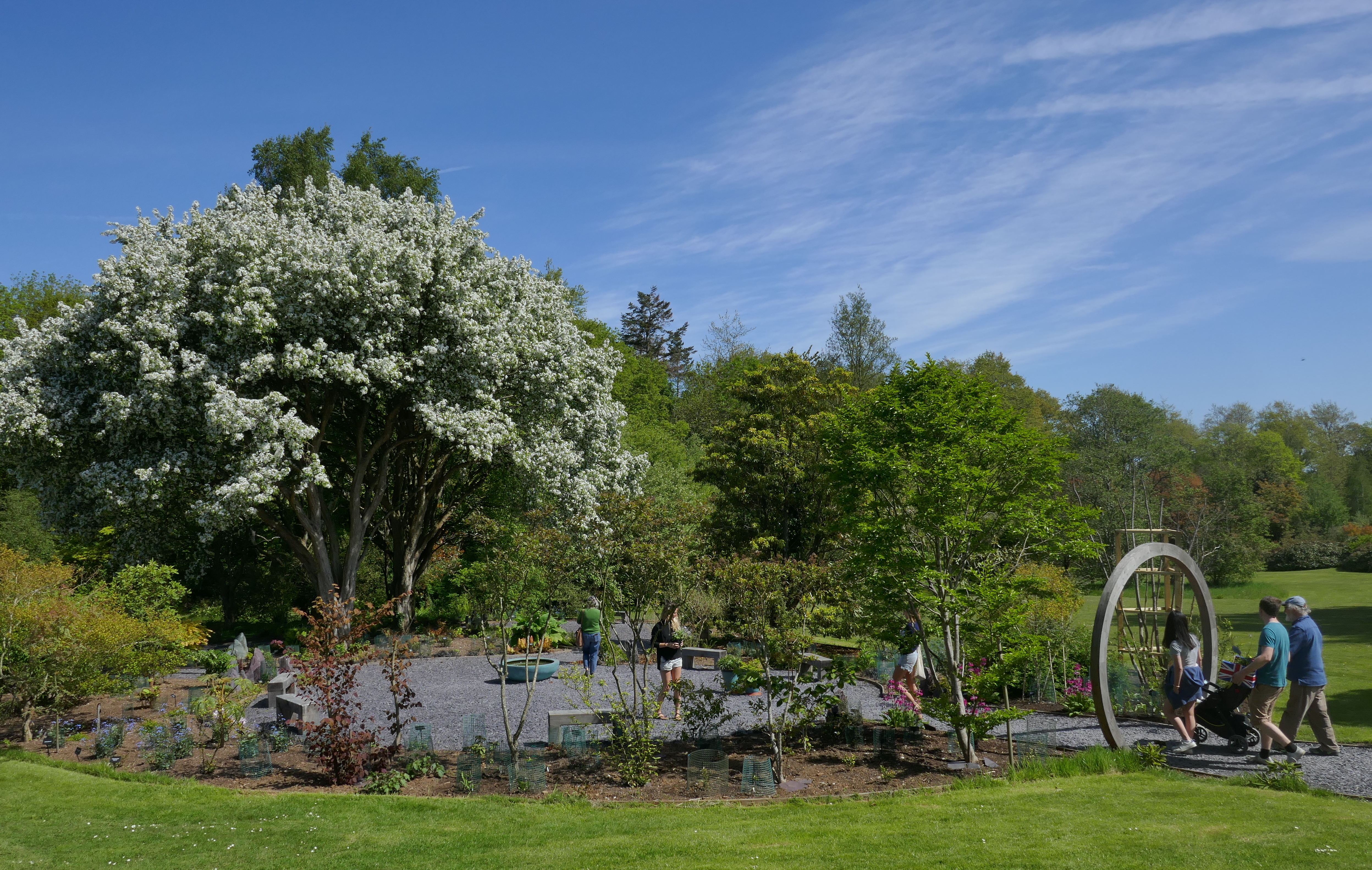
Treborth Botanic Garden
Treborth Botanic Garden (Welsh: Gardd Fotaneg Treborth), is a botanic garden in Wales, close to the city of Bangor, Gwynedd. It is owned by Bangor University...
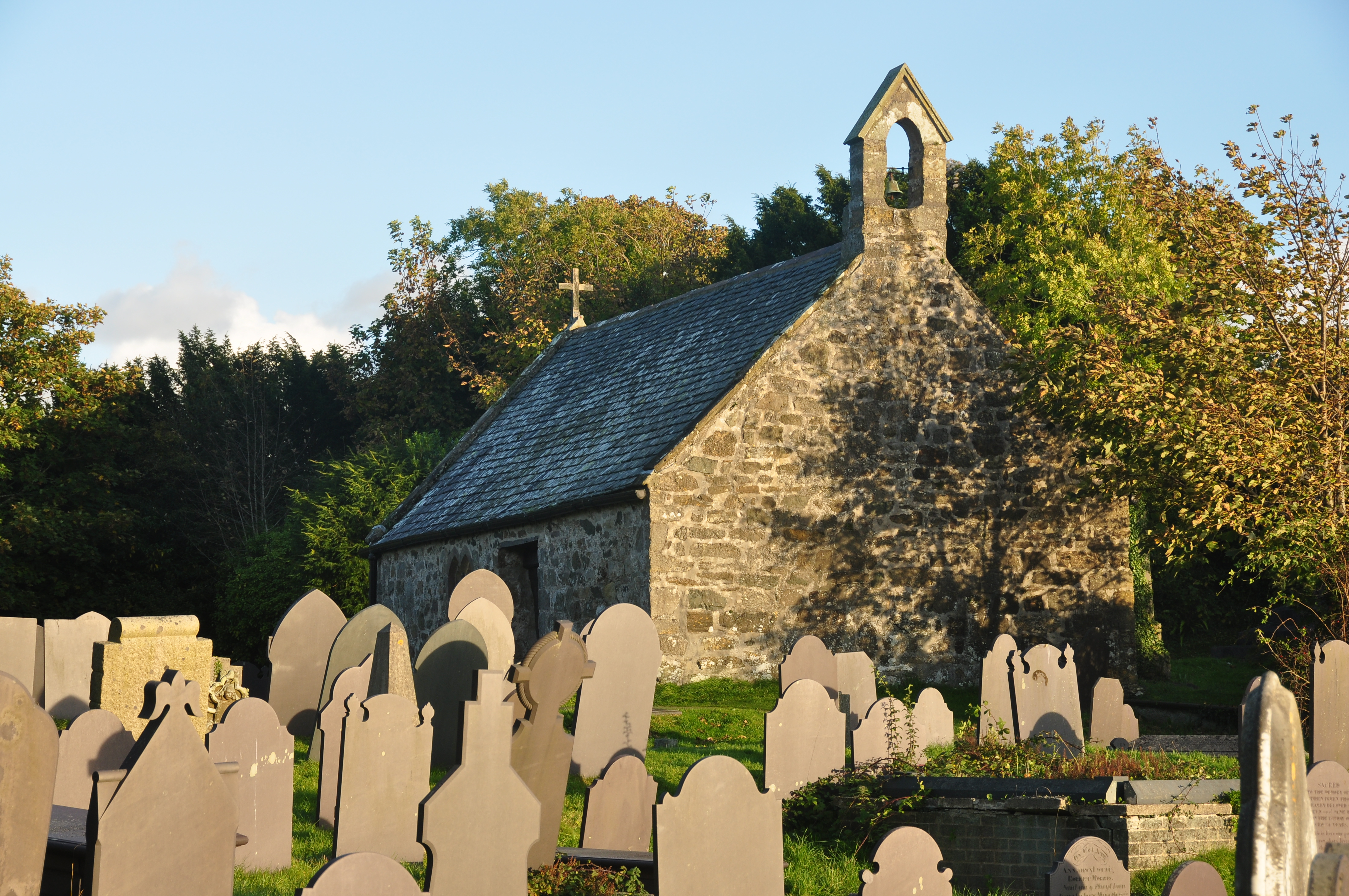
St Tysilio's Church, Menai Bridge
St Tysilio's Church is a medieval church in the village of Menai Bridge, Anglesey, Wales. The current building dates from the early 15th century and underwent...

Church Island (Anglesey)
Church Island, also known as Llandysilio Island, (Welsh: Ynys Tysilio) is a small island in the Menai Strait on the shores of Anglesey to which it is attached...
Carreg yr Halen
Carreg yr Halen is a very small tidal island in the Menai Strait. Its centre lies approximately 20 metres offshore from the Belgian Promenade in Menai...
Ynys Gored Goch
Ynys Gored Goch ("Red Weir Island"), sometimes Ynys Gorad Goch, is a small island in the Menai Strait between Gwynedd and Anglesey in north Wales. It is...

Bangor 1876 F.C.
Bangor 1876 Football Club (Welsh: Clwb Pêl-Droed Bangor 1876) is a Welsh football club in Bangor, Gwynedd, who play in the Cymru North, the second tier...
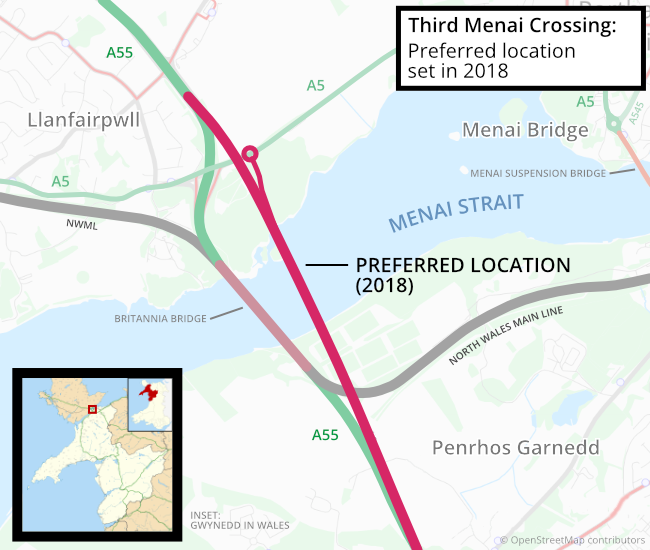
Third Menai Crossing
The Third Menai Crossing (or (A55) 3rd Menai Crossing) was a proposed bridge over the Menai Strait, connecting the Isle of Anglesey with mainland Wales...
Nearby Amenities
Located within 500m of 53.219563,-4.1742718Have you been to Swelly Rock?
Leave your review of Swelly Rock below (or comments, questions and feedback).