Carreg Pwll
Island in Caernarfonshire
Wales
Carreg Pwll
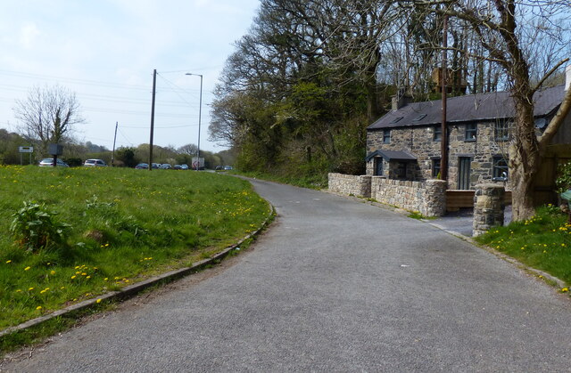
Carreg Pwll, also known as Llanddwyn Island, is a small tidal island located off the coast of Caernarfonshire in North Wales, United Kingdom. Situated at the southwestern tip of the Isle of Anglesey, it is accessed via a sandy beach at Newborough Warren.
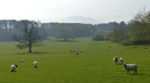
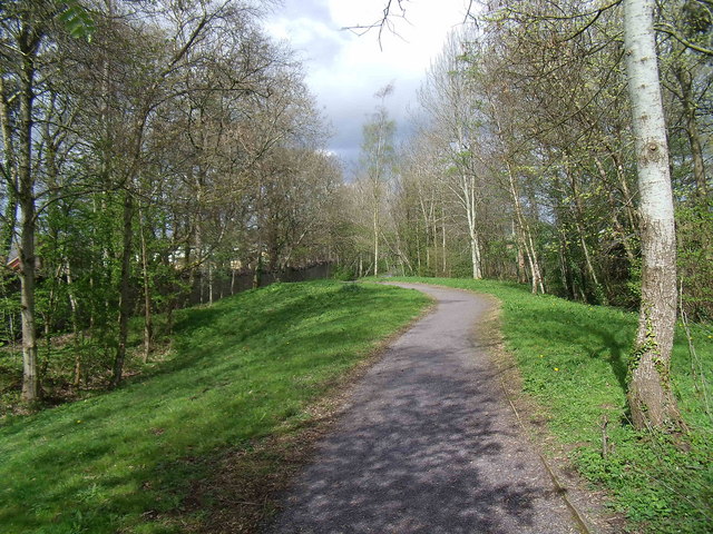
The island is approximately 1.5 miles long and covers an area of about 400 acres. It is a designated National Nature Reserve and is managed by Natural Resources Wales. Carreg Pwll is known for its diverse habitats, including sandy dunes, salt marshes, and a variety of coastal plants and wildlife.
One of the island's main attractions is the picturesque Llanddwyn Bay, which offers stunning views of Snowdonia National Park and the Llyn Peninsula. The beach is popular for swimming, picnicking, and walking, with many visitors enjoying the tranquility and natural beauty of the area.
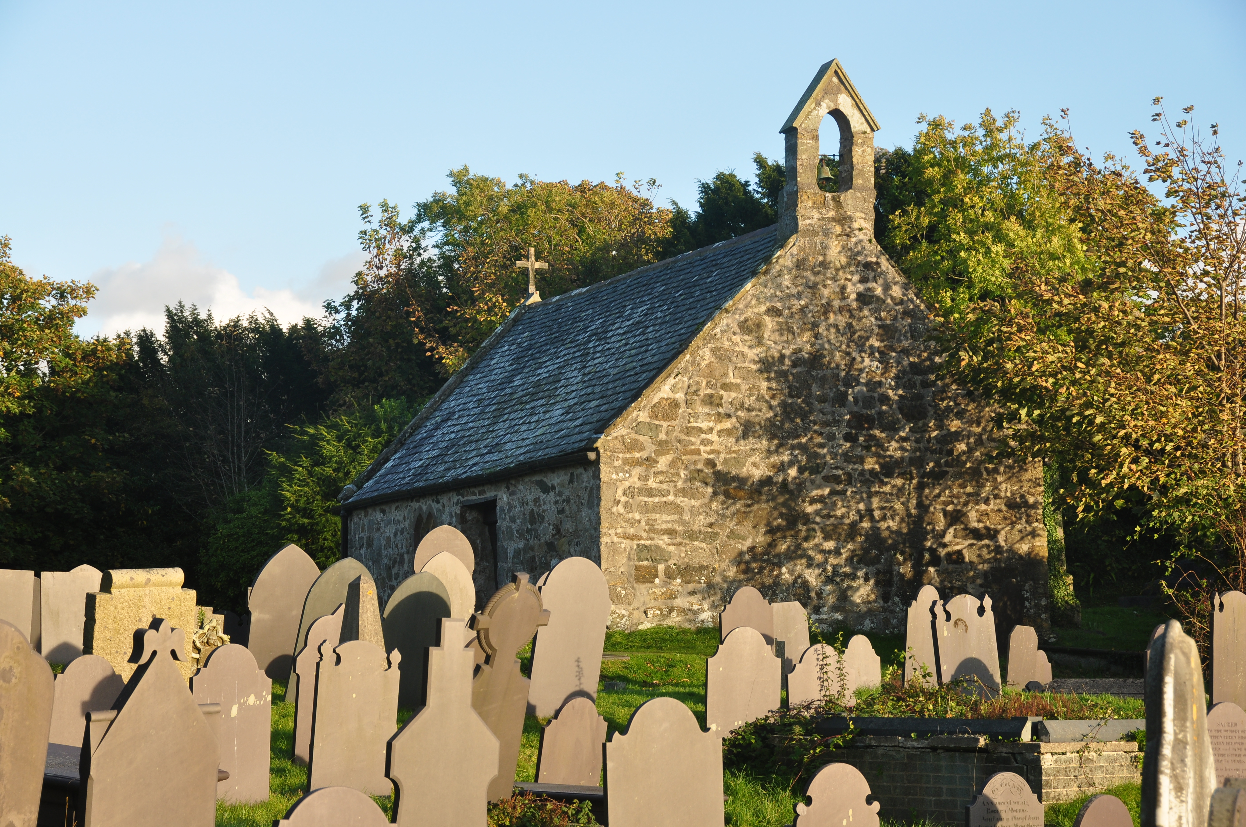
Carreg Pwll is also home to the remains of the medieval St. Dwynwen's Church, named after the Welsh patron saint of lovers. The church ruins, along with a solitary stone cross, create a picturesque backdrop against the island's stunning scenery.
The island has a rich cultural history, with legends and stories associated with St. Dwynwen and the Welsh folklore. It is a popular destination for tourists and locals alike, attracting nature enthusiasts, photographers, and those seeking a peaceful retreat.
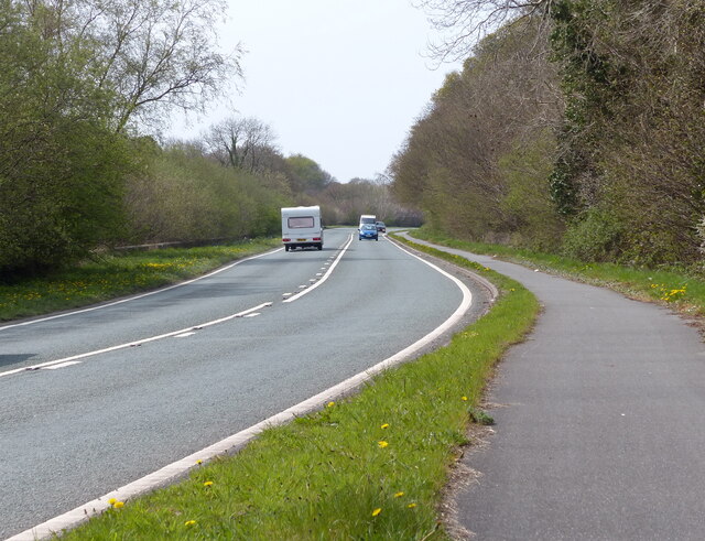
Visitors are advised to check the tide times before visiting Carreg Pwll, as the island becomes completely cut off from the mainland during high tide. It is recommended to explore the island on foot, following the designated paths and respecting the fragile ecosystems present.
If you have any feedback on the listing, please let us know in the comments section below.
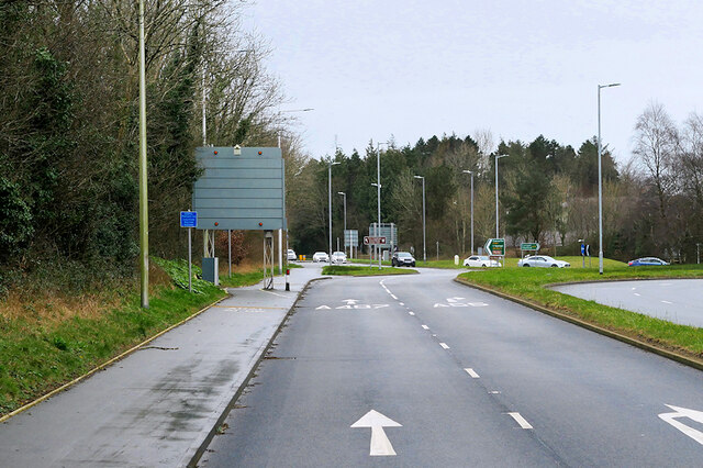
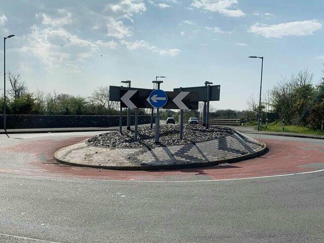
Carreg Pwll Images
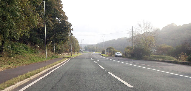
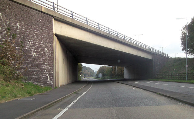
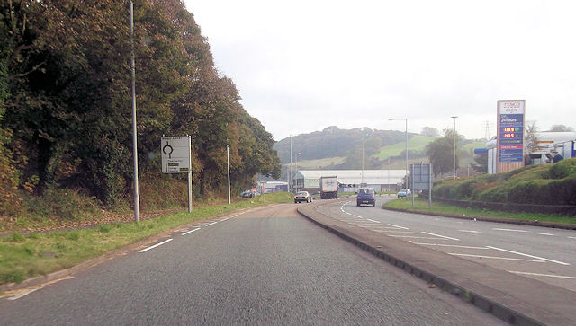
Images are sourced within 2km of 53.219563/-4.1742718 or Grid Reference SH5471. Thanks to Geograph Open Source API. All images are credited.


Carreg Pwll is located at Grid Ref: SH5471 (Lat: 53.219563, Lng: -4.1742718)
Unitary Authority: Gwynedd
Police Authority: North Wales
Also known as: Swelly Rock
What 3 Words
///grumbles.sprinter.laughs. Near Menai Bridge, Isle of Anglesey
Nearby Locations
Related Wikis

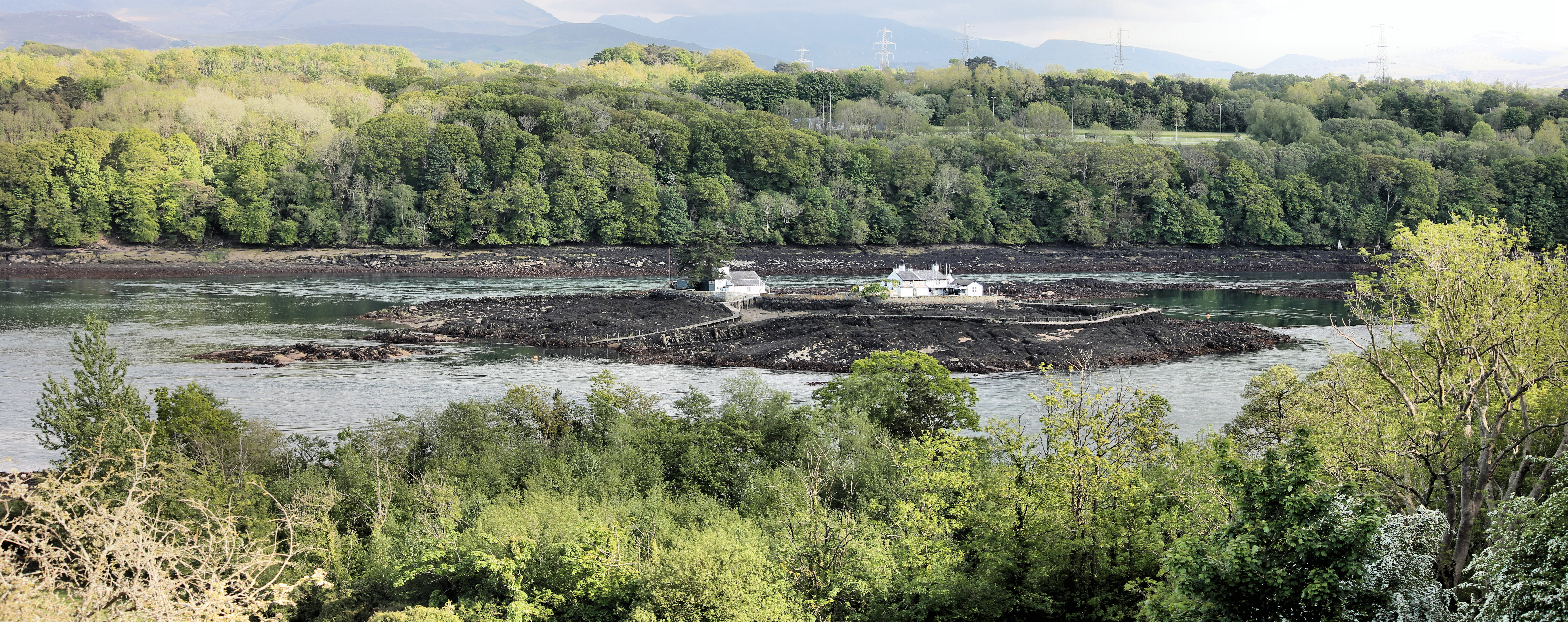
Swellies
The Swellies (or Swillies - Welsh: Pwll Ceris) is a stretch of the Menai Strait in North Wales. The most popular use of the name is for the stretch between...
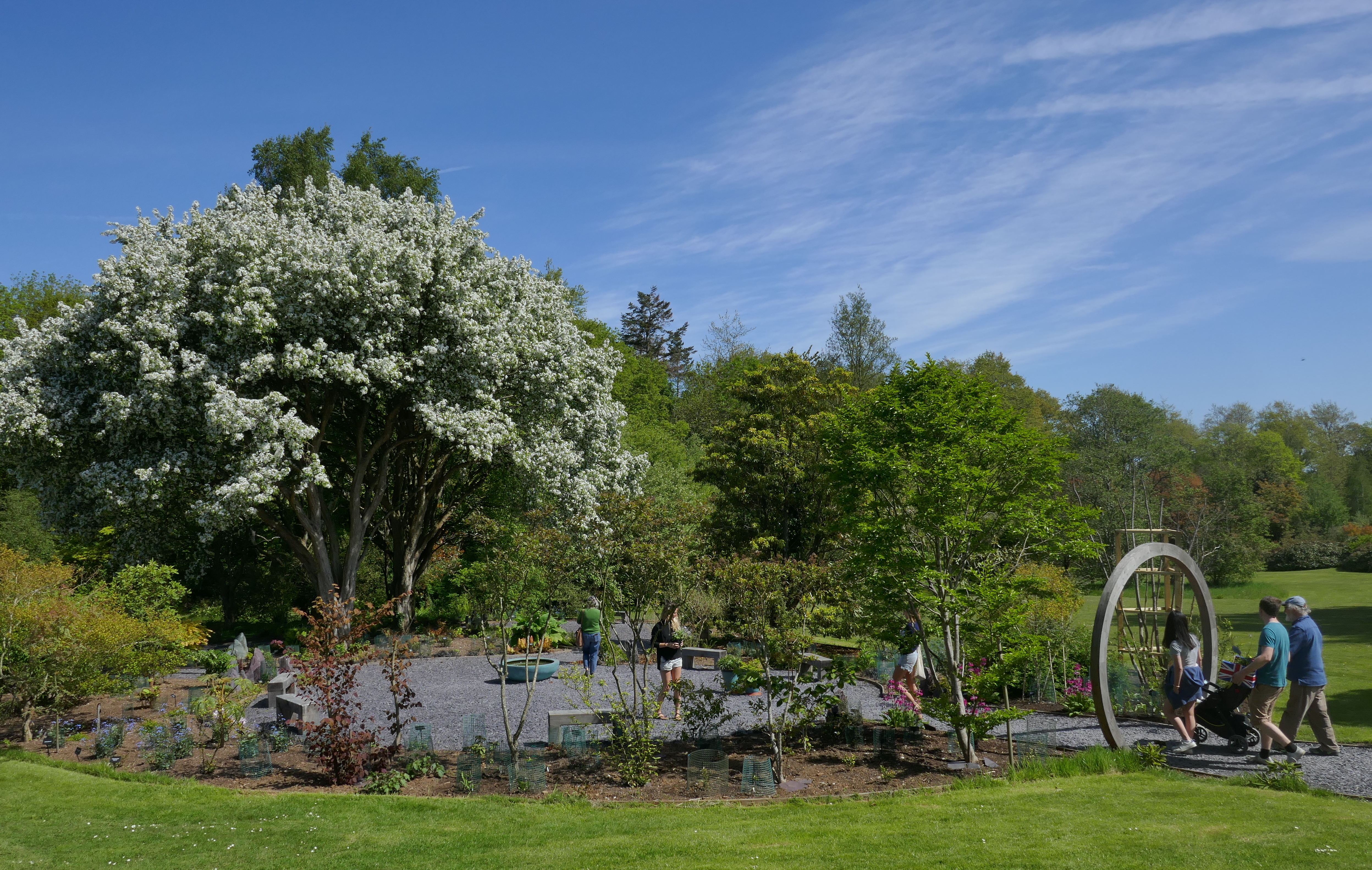
Treborth Botanic Garden
Treborth Botanic Garden (Welsh: Gardd Fotaneg Treborth), is a botanic garden in Wales, close to the city of Bangor, Gwynedd. It is owned by Bangor University...
St Tysilio's Church, Menai Bridge
St Tysilio's Church is a medieval church in the village of Menai Bridge, Anglesey, Wales. The current building dates from the early 15th century and underwent...

Church Island (Anglesey)
Church Island, also known as Llandysilio Island, (Welsh: Ynys Tysilio) is a small island in the Menai Strait on the shores of Anglesey to which it is attached...

Carreg yr Halen
Carreg yr Halen is a very small tidal island in the Menai Strait. Its centre lies approximately 20 metres offshore from the Belgian Promenade in Menai...
Ynys Gored Goch
Ynys Gored Goch ("Red Weir Island"), sometimes Ynys Gorad Goch, is a small island in the Menai Strait between Gwynedd and Anglesey in north Wales. It is...
Bangor 1876 F.C.
Bangor 1876 Football Club (Welsh: Clwb Pêl-Droed Bangor 1876) is a Welsh football club in Bangor, Gwynedd, who play in the Cymru North, the second tier...
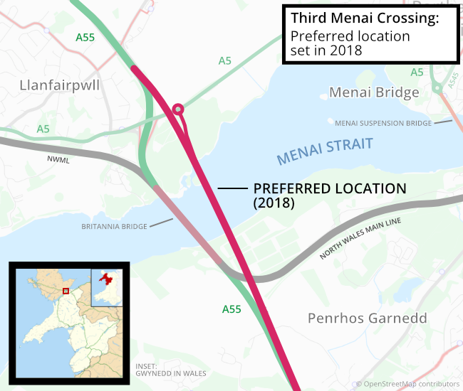
Third Menai Crossing
The Third Menai Crossing (or (A55) 3rd Menai Crossing) was a proposed bridge over the Menai Strait, connecting the Isle of Anglesey with mainland Wales...
Nearby Amenities
Located within 500m of 53.219563,-4.1742718Have you been to Carreg Pwll?
Leave your review of Carreg Pwll below (or comments, questions and feedback).