Britannia Rock
Island in Caernarfonshire
Wales
Britannia Rock
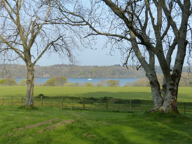
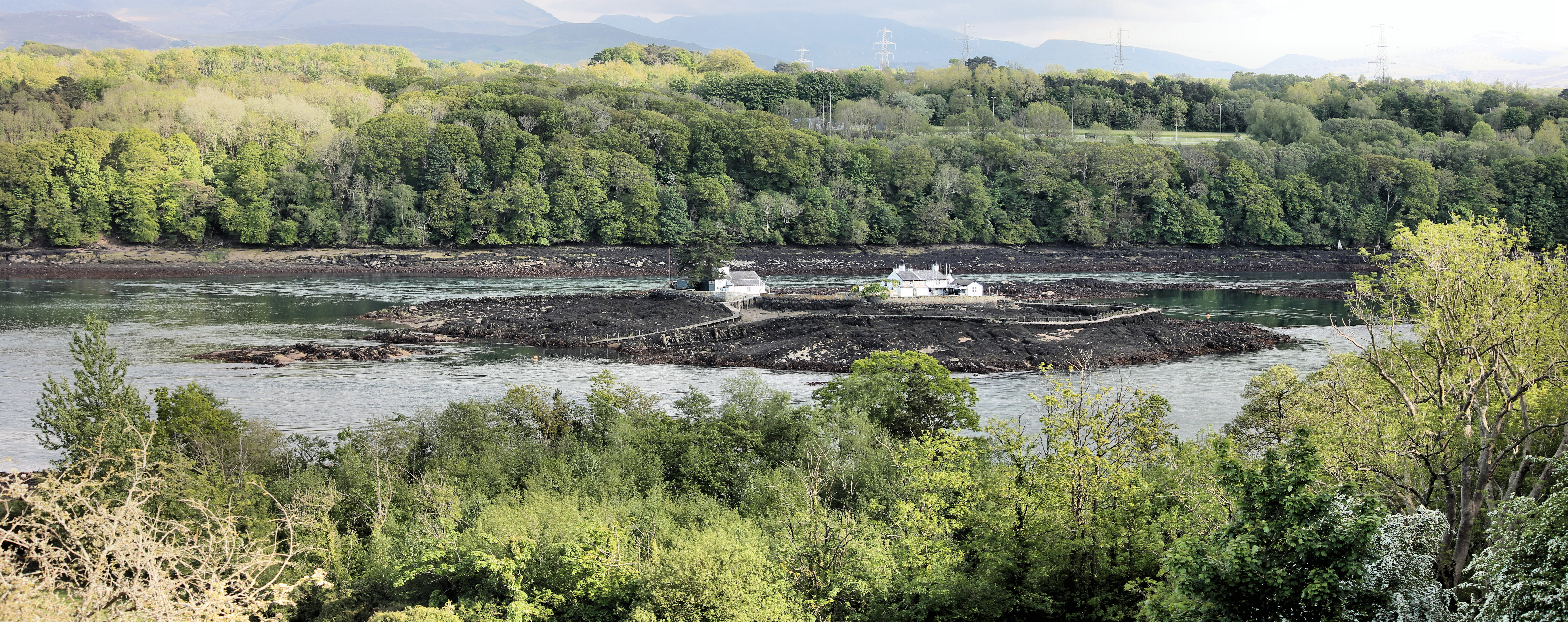
Britannia Rock, also known as Ynys Gored Goch, is a small uninhabited island located off the coast of Caernarfonshire in northwest Wales. Situated in the Menai Strait, it lies approximately 1.5 miles (2.4 kilometers) northwest of the town of Caernarfon.
The island is known for its distinctive red hue, which is a result of the presence of red sandstone cliffs. These cliffs rise steeply from the surrounding sea, creating a visually striking landscape. Britannia Rock measures roughly 400 meters in length and 200 meters in width, with a total area of about 20 acres.
Due to its remote location and lack of human activity, Britannia Rock serves as an important breeding ground for various seabird species. It is particularly renowned as a nesting site for the Atlantic puffin, whose distinctive appearance and comical behavior make it a popular attraction for birdwatchers and nature enthusiasts.
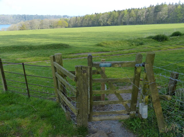
Access to Britannia Rock is limited, as it is not open to the public and there are no regular boat trips available. However, it can be viewed from the mainland, offering visitors the opportunity to appreciate its natural beauty and observe the abundant wildlife from a distance.
Overall, Britannia Rock is a picturesque and ecologically significant island in Caernarfonshire, providing a sanctuary for seabirds and adding to the rich natural heritage of the region.
If you have any feedback on the listing, please let us know in the comments section below.
Britannia Rock Images
Images are sourced within 2km of 53.215993/-4.1856391 or Grid Reference SH5471. Thanks to Geograph Open Source API. All images are credited.


Britannia Rock is located at Grid Ref: SH5471 (Lat: 53.215993, Lng: -4.1856391)
Unitary Authority: Gwynedd
Police Authority: North Wales
What 3 Words
///responds.menswear.readily. Near Llanfairpwllgwyngyll, Isle of Anglesey
Nearby Locations
Related Wikis

Britannia Bridge
Britannia Bridge (Welsh: Pont Britannia) is a bridge in Wales that crosses the Menai Strait between the Isle of Anglesey and city of Bangor. It was originally...
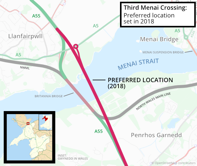
Third Menai Crossing
The Third Menai Crossing (or (A55) 3rd Menai Crossing) was a proposed bridge over the Menai Strait, connecting the Isle of Anglesey with mainland Wales...
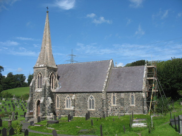
St Mary's Church, Llanfairpwllgwyngyll
St Mary's Church is a Church in Wales parish church in Llanfairpwllgwyngyll, Anglesey, Wales. It was built in 1853 to serve the village in the Diocese...
Ynys Gored Goch
Ynys Gored Goch ("Red Weir Island"), sometimes Ynys Gorad Goch, is a small island in the Menai Strait between Gwynedd and Anglesey in north Wales. It is...

Bangor 1876 F.C.
Bangor 1876 Football Club (Welsh: Clwb Pêl-Droed Bangor 1876) is a Welsh football club in Bangor, Gwynedd, who play in the Cymru North, the second tier...
Treborth railway station
Treborth railway station was a railway station located on the Bangor and Carnarvon Railway, about half a mile south of the Britannia Bridge, Caernarfonshire...
Pwll Fanog wreck
The Pwll Fanog wreck is a small Medieval-era wooden vessel that sank in the Menai Strait, off the coast of Anglesey in Wales. The cargo vessel, believed...
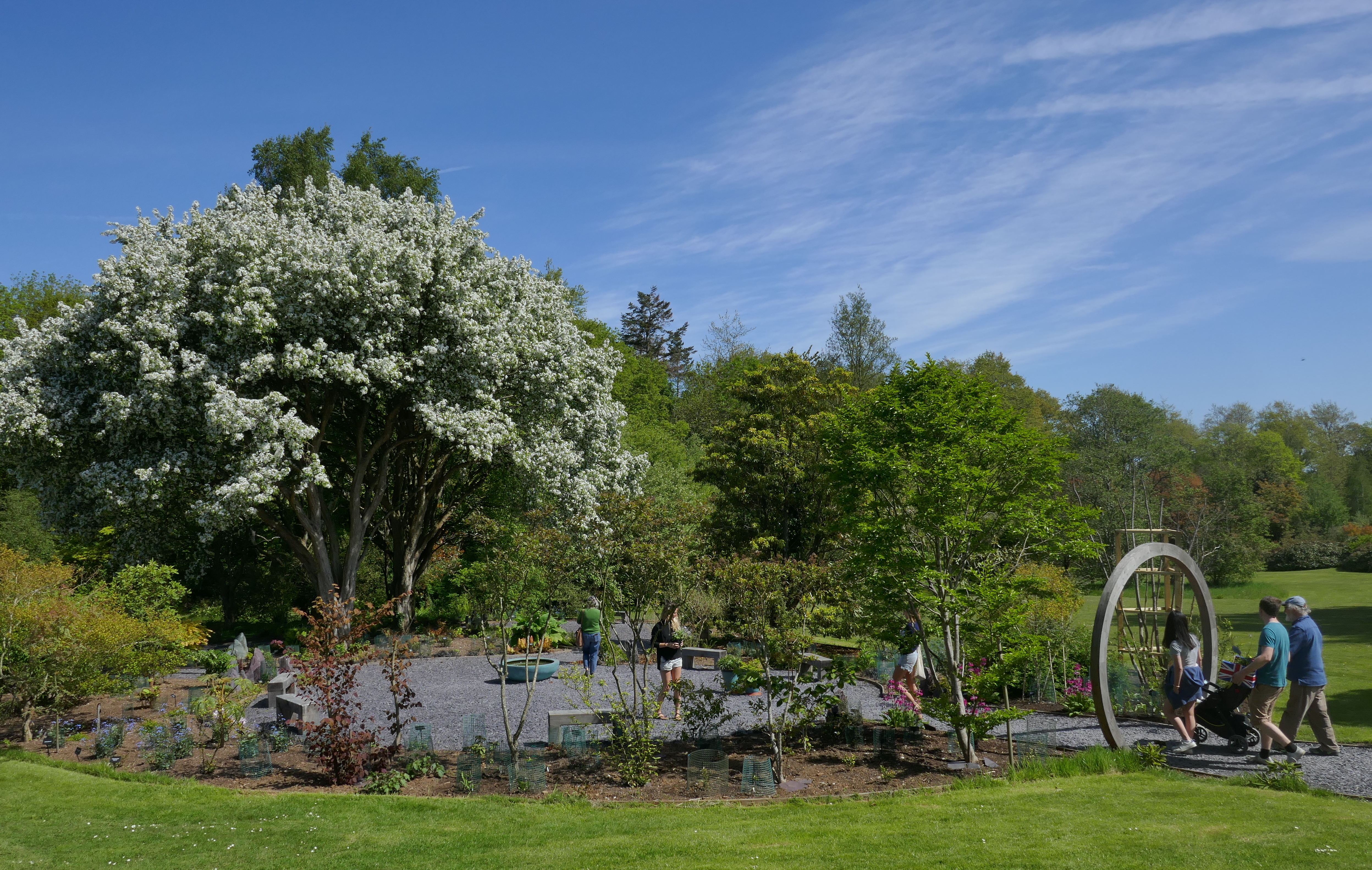
Treborth Botanic Garden
Treborth Botanic Garden (Welsh: Gardd Fotaneg Treborth), is a botanic garden in Wales, close to the city of Bangor, Gwynedd. It is owned by Bangor University...
Nearby Amenities
Located within 500m of 53.215993,-4.1856391Have you been to Britannia Rock?
Leave your review of Britannia Rock below (or comments, questions and feedback).