North Florida
Settlement in Lancashire
England
North Florida
North Florida, Lancashire is a small village located in the borough of Wyre, within the county of Lancashire, England. Situated in the northwest region of the country, it is about 5 miles east of the coastal town of Fleetwood and 10 miles north of the city of Preston.
With a population of around 3,000 residents, North Florida has a close-knit community feel. The village is characterized by its picturesque countryside setting, with rolling hills, green fields, and charming rural landscapes. It offers a peaceful and tranquil environment, away from the hustle and bustle of larger towns and cities.
The village is primarily residential, with a mix of housing styles, ranging from traditional stone cottages to modern houses. It boasts a few local amenities, including a primary school, a village hall, and a well-stocked convenience store. For additional services and facilities, residents often rely on nearby towns or cities.
Nature enthusiasts can explore the beautiful surrounding countryside through various walking trails and cycling routes. The nearby coastline also provides opportunities for seaside walks and water activities. Additionally, North Florida benefits from being close to the Forest of Bowland, an Area of Outstanding Natural Beauty, which offers stunning views and outdoor recreational opportunities.
Transportation in North Florida is primarily dependent on private vehicles, although there are bus services that connect the village to nearby towns and cities. The M55 motorway is easily accessible, providing convenient links to larger urban areas.
Overall, North Florida, Lancashire offers a tranquil and idyllic setting for those seeking a peaceful village lifestyle within a stunning natural landscape.
If you have any feedback on the listing, please let us know in the comments section below.
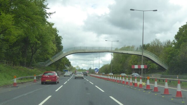
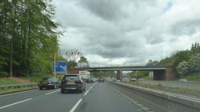
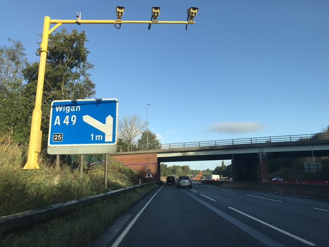
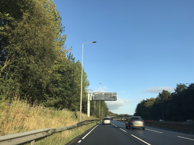
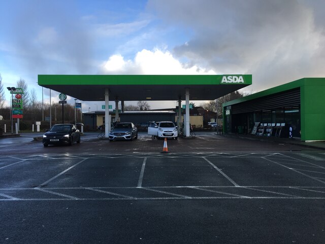
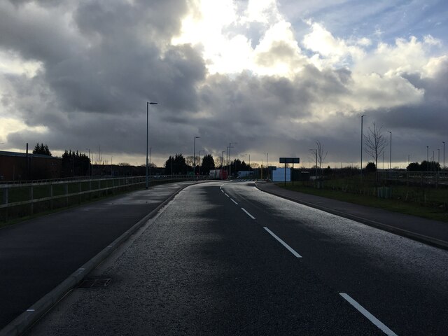
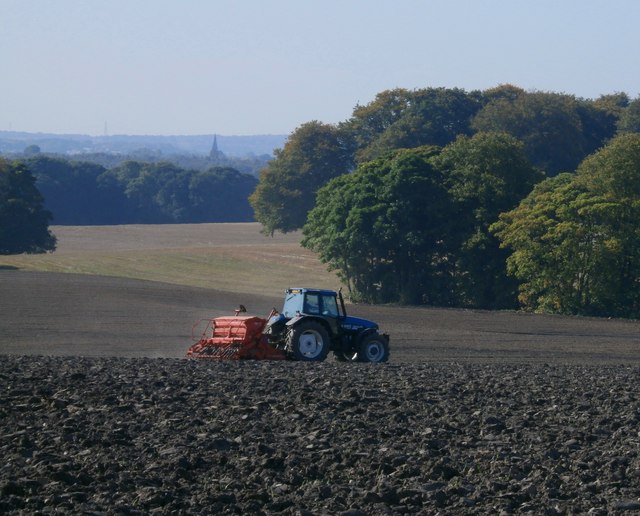
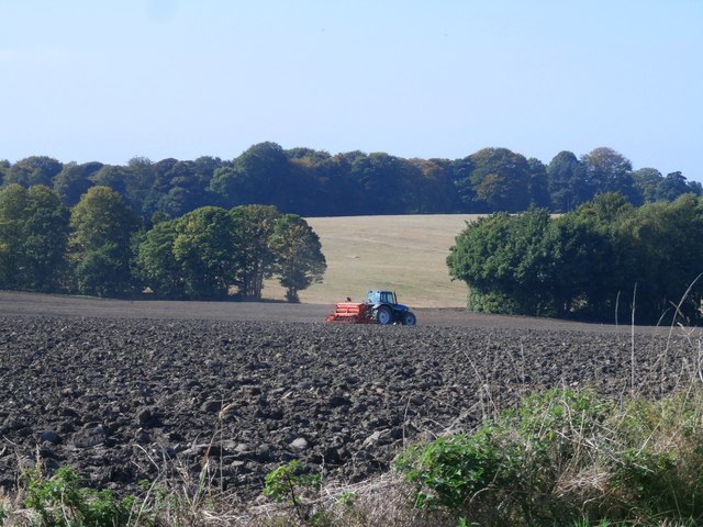
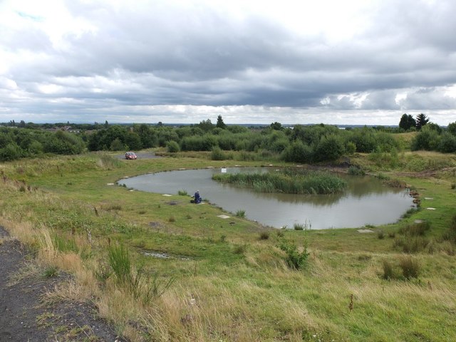
North Florida Images
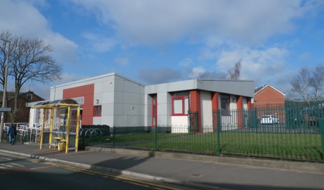
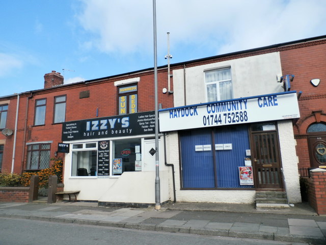
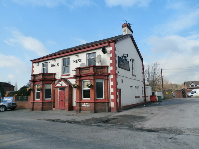
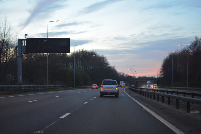
Images are sourced within 2km of 53.474131/-2.671927 or Grid Reference SJ5597. Thanks to Geograph Open Source API. All images are credited.

North Florida is located at Grid Ref: SJ5597 (Lat: 53.474131, Lng: -2.671927)
Unitary Authority: St. Helens
Police Authority: Merseyside
What 3 Words
///broken.timing.bounty. Near Haydock, Merseyside
Nearby Locations
Related Wikis

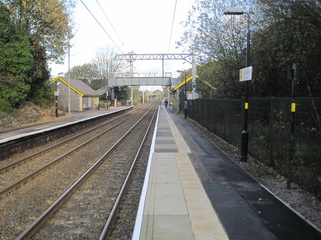
Haydock railway station
Haydock railway station served the village of Haydock, formerly in Lancashire, now in Merseyside, England.The station was on the Liverpool, St Helens and...
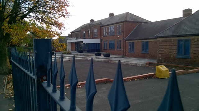
Outwood Academy Haydock
Outwood Academy Haydock (formerly Haydock Secondary Modern School and then Haydock High School) is a coeducational secondary school located in Haydock...

Haydock
Haydock is a village within the Metropolitan Borough of St Helens, in Merseyside, England. At the 2011 Census, it had a population of 11,416 Haydock's...
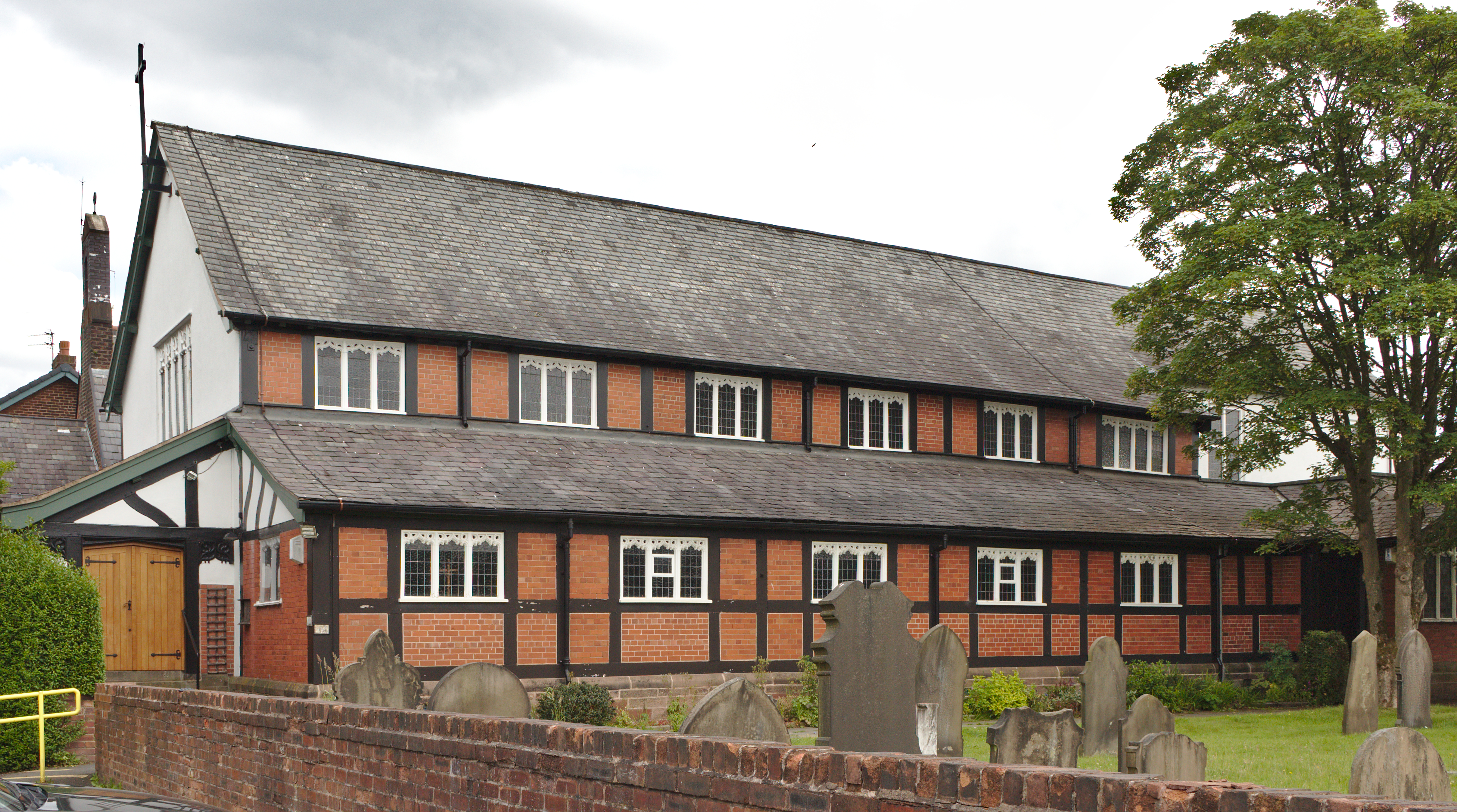
Church of St James the Great, Haydock
The Church of St James the Great is in Church Road, Haydock, a former mining community, now part of the Metropolitan Borough of St. Helens, Merseyside...
Nearby Amenities
Located within 500m of 53.474131,-2.671927Have you been to North Florida?
Leave your review of North Florida below (or comments, questions and feedback).