Florida, North
Settlement in Lancashire
England
Florida, North
Florida, North, Lancashire is a small village located in the district of Wyre, in the county of Lancashire, England. Situated near the coast, it lies approximately 2 miles northeast of the town of Fleetwood and about 10 miles northwest of the city of Preston.
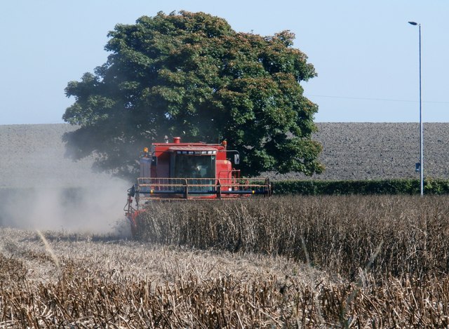
The village is primarily residential, with a population of around 1,500 residents. It is known for its peaceful and picturesque surroundings, with rolling hills, farmland, and countryside views. The area is popular among nature enthusiasts, offering ample opportunities for outdoor activities such as hiking, cycling, and birdwatching.
Despite its small size, Florida, North, Lancashire has a strong sense of community. The village features a range of amenities to cater to its residents, including a primary school, a church, a post office, and a local pub. There are also several local businesses, such as small shops and cafes, providing essential services to the community.
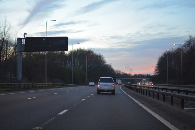
Transportation in Florida, North, Lancashire is facilitated by a network of local roads, connecting the village to nearby towns and cities. The village is easily accessible, with convenient links to the M55 motorway, providing connections to major cities in the region.
Overall, Florida, North, Lancashire offers a tranquil and charming rural lifestyle, with its beautiful countryside, friendly community, and convenient location. It is a sought-after place to live for those seeking a peaceful retreat while still being within reach of urban amenities.
If you have any feedback on the listing, please let us know in the comments section below.
Florida, North Images
Images are sourced within 2km of 53.474131/-2.671927 or Grid Reference SJ5597. Thanks to Geograph Open Source API. All images are credited.
Florida, North is located at Grid Ref: SJ5597 (Lat: 53.474131, Lng: -2.671927)
Unitary Authority: St. Helens
Police Authority: Merseyside
What 3 Words
///broken.timing.bounty. Near Haydock, Merseyside
Nearby Locations
Related Wikis

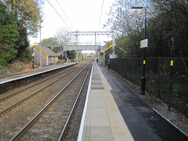
Haydock railway station
Haydock railway station served the village of Haydock, formerly in Lancashire, now in Merseyside, England.The station was on the Liverpool, St Helens and...
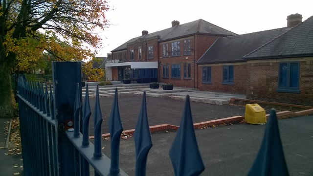
Outwood Academy Haydock
Outwood Academy Haydock (formerly Haydock Secondary Modern School and then Haydock High School) is a coeducational secondary school located in Haydock...

Haydock
Haydock is a village within the Metropolitan Borough of St Helens, in Merseyside, England. At the 2011 Census, it had a population of 11,416 Haydock's...
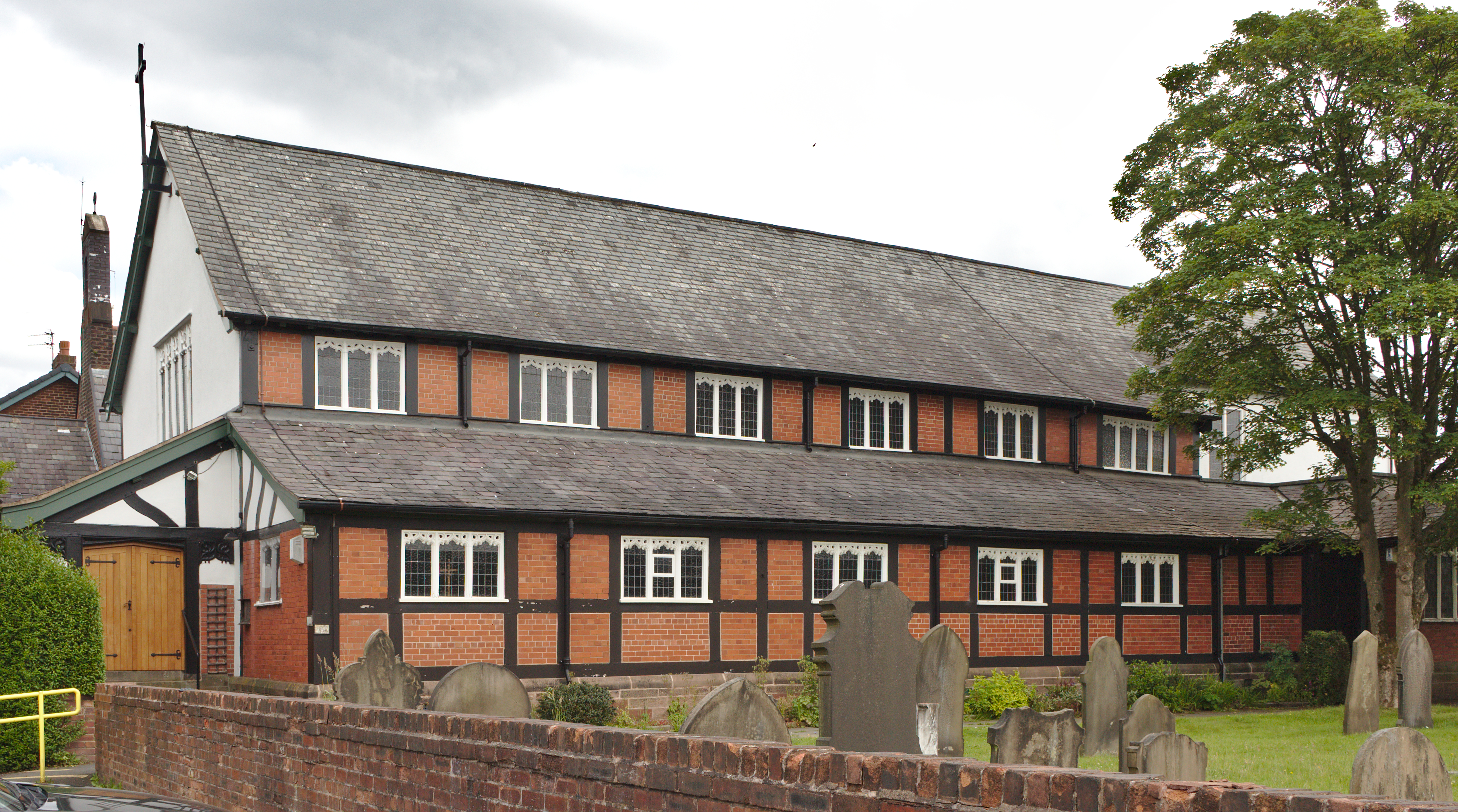
Church of St James the Great, Haydock
The Church of St James the Great is in Church Road, Haydock, a former mining community, now part of the Metropolitan Borough of St. Helens, Merseyside...
Nearby Amenities
Located within 500m of 53.474131,-2.671927Have you been to Florida, North?
Leave your review of Florida, North below (or comments, questions and feedback).