Haydock
Settlement in Lancashire
England
Haydock
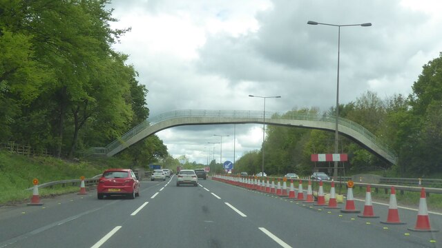
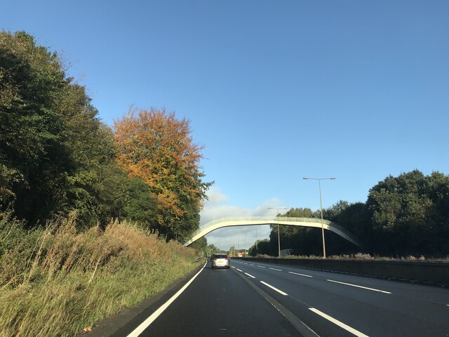
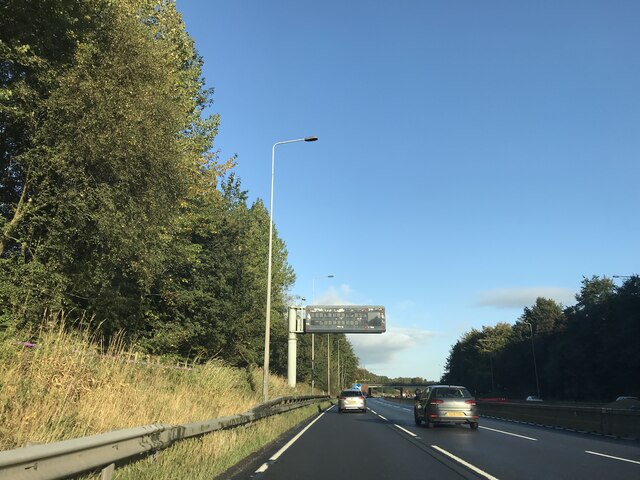
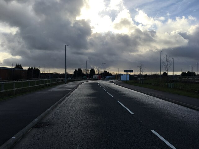
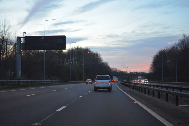
Haydock is a small town located in the Metropolitan Borough of St Helens, within the county of Lancashire, England. Situated about 15 miles east of Liverpool and 20 miles west of Manchester, Haydock is known for its strategic position along the A580 East Lancashire Road, making it easily accessible for commuters and visitors alike.
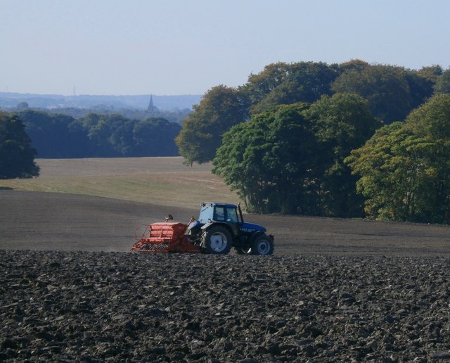
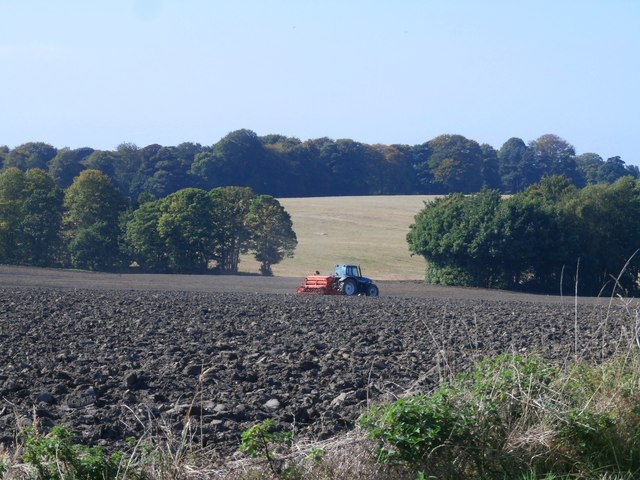
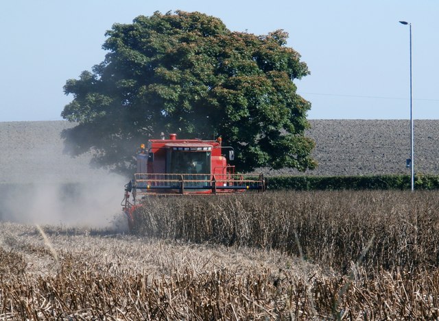
Historically, Haydock was an agricultural community, with farming and coal mining being the primary industries. However, in recent years, the town has undergone significant development, with the establishment of several industrial estates and business parks, attracting a diverse range of businesses and employment opportunities to the area.
One of the notable landmarks in Haydock is Haydock Park Racecourse, a renowned horse racing venue that hosts a number of prestigious events throughout the year. The course has a long history, dating back to 1899, and remains a popular destination for racing enthusiasts, attracting large crowds and generating tourism for the town.
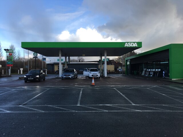
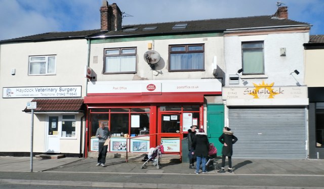
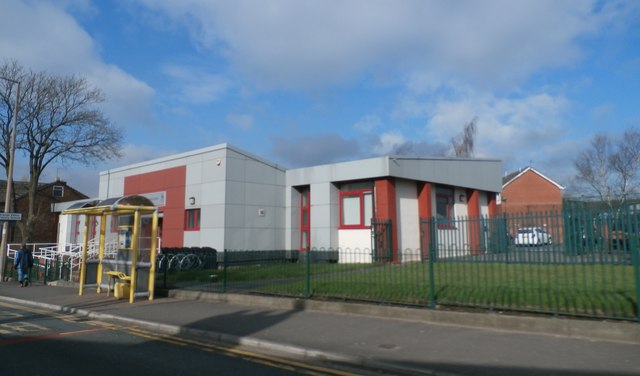
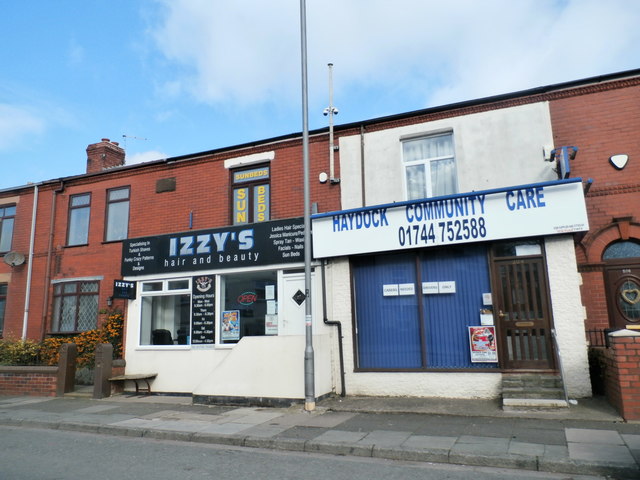
In terms of amenities, Haydock offers a range of services and facilities for residents and visitors, including schools, healthcare centers, shopping centers, and recreational spaces. The town is also well-served by public transport, with regular bus services and a nearby train station providing convenient connections to neighboring cities.
Overall, Haydock is a vibrant town that has evolved from its agricultural roots to become a thriving community with a mix of industries and a strong sporting heritage. Its central location and excellent transport links make it an attractive place to live, work, and visit within the Lancashire region.
If you have any feedback on the listing, please let us know in the comments section below.
Haydock Images
Images are sourced within 2km of 53.470552/-2.668857 or Grid Reference SJ5597. Thanks to Geograph Open Source API. All images are credited.
Haydock is located at Grid Ref: SJ5597 (Lat: 53.470552, Lng: -2.668857)
Unitary Authority: St. Helens
Police Authority: Merseyside
What 3 Words
///offer.speeds.courier. Near Haydock, Merseyside
Nearby Locations
Related Wikis

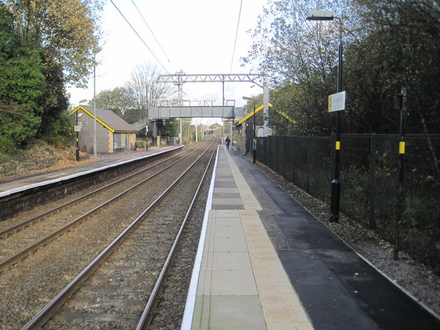
Haydock railway station
Haydock railway station served the village of Haydock, formerly in Lancashire, now in Merseyside, England.The station was on the Liverpool, St Helens and...

Haydock
Haydock is a village within the Metropolitan Borough of St Helens, in Merseyside, England. At the 2011 Census, it had a population of 11,416 Haydock's...
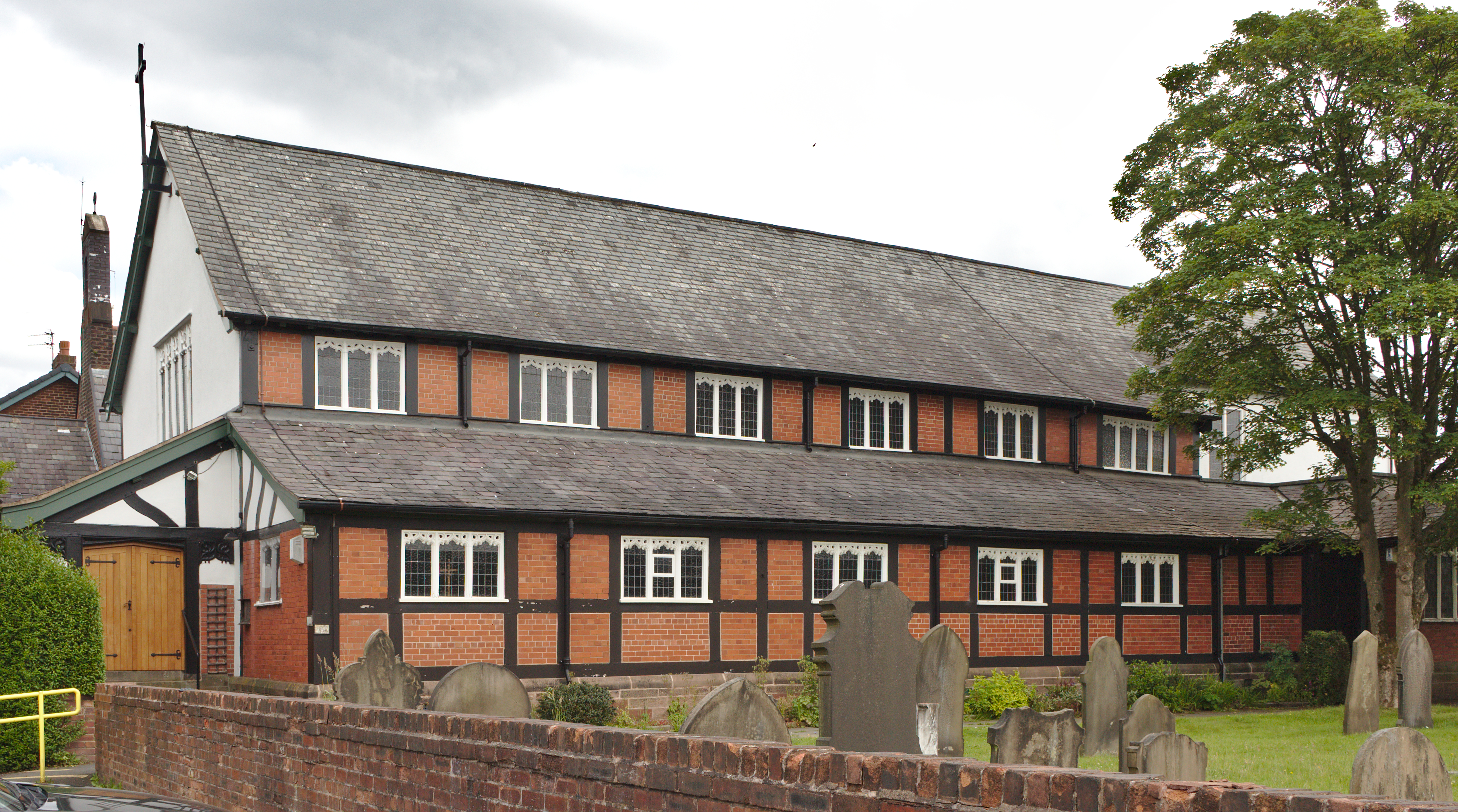
Church of St James the Great, Haydock
The Church of St James the Great is in Church Road, Haydock, a former mining community, now part of the Metropolitan Borough of St. Helens, Merseyside...
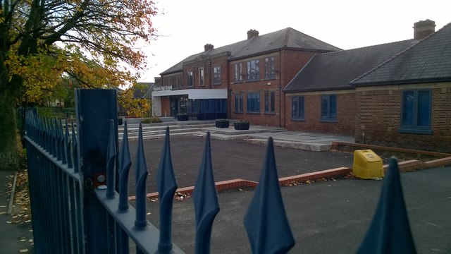
Outwood Academy Haydock
Outwood Academy Haydock (formerly Haydock Secondary Modern School and then Haydock High School) is a coeducational secondary school located in Haydock...
Nearby Amenities
Located within 500m of 53.470552,-2.668857Have you been to Haydock?
Leave your review of Haydock below (or comments, questions and feedback).