Foreland, North

Settlement in Kent Thanet

England

Foreland, North

Chalk and Flint The cliff is not all that stable and bits are continually dropping off to add to the pile of boulders at the base.
Chalk and Flint Credit: Des Blenkinsopp

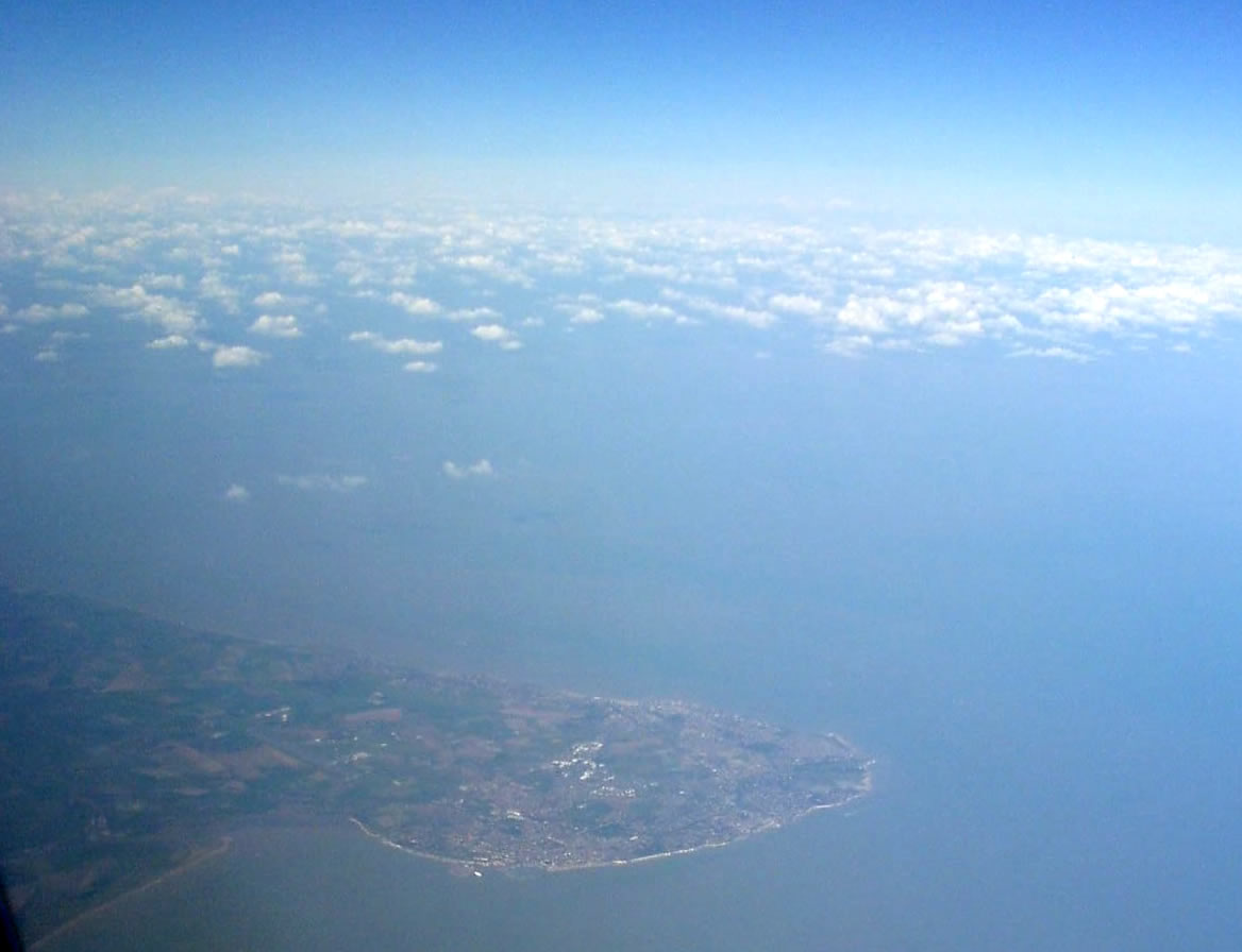
Foreland, North, Kent is a small, picturesque village located on the coast of Southeast England. Situated in the district of Thanet, it is part of the county of Kent. With a population of around 600 residents, Foreland is known for its stunning natural beauty and rich historical heritage.

The village is nestled between the popular holiday destinations of Broadstairs and Margate, making it a popular destination for tourists seeking a quieter, more serene atmosphere. It boasts breathtaking coastal views, with towering cliffs overlooking the English Channel.

Foreland is also home to the historic Foreland Lighthouse, which has been guiding ships along this treacherous coastline since 1793. The lighthouse, now decommissioned, offers guided tours for visitors, providing a glimpse into its fascinating maritime history.

In addition to its natural beauty, Foreland has a strong sense of community. The village features a charming village hall, which hosts various events and activities throughout the year, including art exhibitions, music concerts, and community gatherings.

The surrounding area offers ample opportunities for outdoor activities, such as coastal walks, birdwatching, and fishing. Nearby Joss Bay is a popular spot for surfers, while the nearby Viking Coastal Trail provides a scenic route for cyclists and hikers.

Overall, Foreland, North, Kent is a tranquil coastal village that offers a blend of natural beauty, historical landmarks, and community spirit, making it a desirable place to visit or call home.

If you have any feedback on the listing, please let us know in the comments section below.

Foreland, North Images

Images are sourced within 2km of 51.375468/1.449368 or Grid Reference TR4069. Thanks to Geograph Open Source API. All images are credited.

Chalk and Flint The cliff is not all that stable and bits are continually dropping off to add to the pile of boulders at the base.
Chalk and Flint
The cliff is not all that stable and bits are continually dropping off to add to the pile of boulders at the base.
Beware of Tidal Cut Off This is at the southern end of the popular beach at Joss Bay. At low tide you can explore along the shoreline but there isn't a way up the steep cliffs and there is a risk of being stranded.
Beware of Tidal Cut Off
This is at the southern end of the popular beach at Joss Bay. At low tide you can explore along the shoreline but there isn't a way up the steep cliffs and there is a risk of being stranded.
Below East Cliff, Broadstairs This whole bay and the wave-cut platform are all submerged at high tide.
Below East Cliff, Broadstairs
This whole bay and the wave-cut platform are all submerged at high tide.
Foreshore at Stone Bay The sandy beach transforms into a rock platform at low tide.
Foreshore at Stone Bay
The sandy beach transforms into a rock platform at low tide.
Stone Bay, Broadstairs Looking along the full length from the harbour jetty with Hope Point and North Foreland in the distance. Note the sewage discharge pipe at the beginning of the rocks, hopefully no longer in use!
Stone Bay, Broadstairs
Looking along the full length from the harbour jetty with Hope Point and North Foreland in the distance. Note the sewage discharge pipe at the beginning of the rocks, hopefully no longer in use!
Turnstone on the landing slip, Broadstairs Taking refuge after being chased along the beach by a dog.
Turnstone on the landing slip, Broadstairs
Taking refuge after being chased along the beach by a dog.
Broadstairs Sailing Club A decent wind without too much sea running. Mainly Laser class one-man dinghies with a Contender far right.
Broadstairs Sailing Club
A decent wind without too much sea running. Mainly Laser class one-man dinghies with a Contender far right.
North Foreland, looking towards Kingsgate Bay At high tide, this square is almost completely all at sea.  At low tide, a series of rock pools is revealed.
North Foreland, looking towards Kingsgate Bay
At high tide, this square is almost completely all at sea. At low tide, a series of rock pools is revealed.
Wave Cut Platform, North Foreland
Joss Bay from North Foreland cliff
Beach and Rocks at Joss Bay
RNLI lifeboat, Joss Bay Sadly it was too far away for me to be able to identify it.
RNLI lifeboat, Joss Bay
Sadly it was too far away for me to be able to identify it.
Joss Bay III, Broadstairs Looking towards the cliffs at North Foreland, in part of Joss Bay, 
said to be named after a local smuggler.
Joss Bay III, Broadstairs
Looking towards the cliffs at North Foreland, in part of Joss Bay, said to be named after a local smuggler.
Joss Bay  Beach This sandy beach is between Hackmedown Point (in the background) and North Foreland.
Joss Bay Beach
This sandy beach is between Hackmedown Point (in the background) and North Foreland.
Rocks near Joss Bay As seen from the beach near Joss Gap.
These rocks can only be seen at low tide.
Rocks near Joss Bay
As seen from the beach near Joss Gap. These rocks can only be seen at low tide.
Beach, Joss Bay Lumps of chalk from the chalk cliffs sprinkle the extremities of the beach, but most is fine sand.
Beach, Joss Bay
Lumps of chalk from the chalk cliffs sprinkle the extremities of the beach, but most is fine sand.
Beach, Joss Bay A sandy bay with a distant view of passing shipping.
Beach, Joss Bay
A sandy bay with a distant view of passing shipping.
The beach in Joss Bay
Show me another place!

Foreland, North is located at Grid Ref: TR4069 (Lat: 51.375468, Lng: 1.449368)

Administrative County: Kent

District: Thanet

Police Authority: Kent

What 3 Words

///lung.wakes.farm. Near Broadstairs, Kent

Related Wikis

North Foreland

North Foreland is a chalk headland on the Kent coast of southeast England, specifically in Broadstairs. With the rest of Broadstairs and part of Ramsgate...

St Stephen's College, Broadstairs

Sts Stephen's College was an educational establishment for girls run by the Community of St John Baptist, an Anglican convent of Augustinian nuns in Clewer...
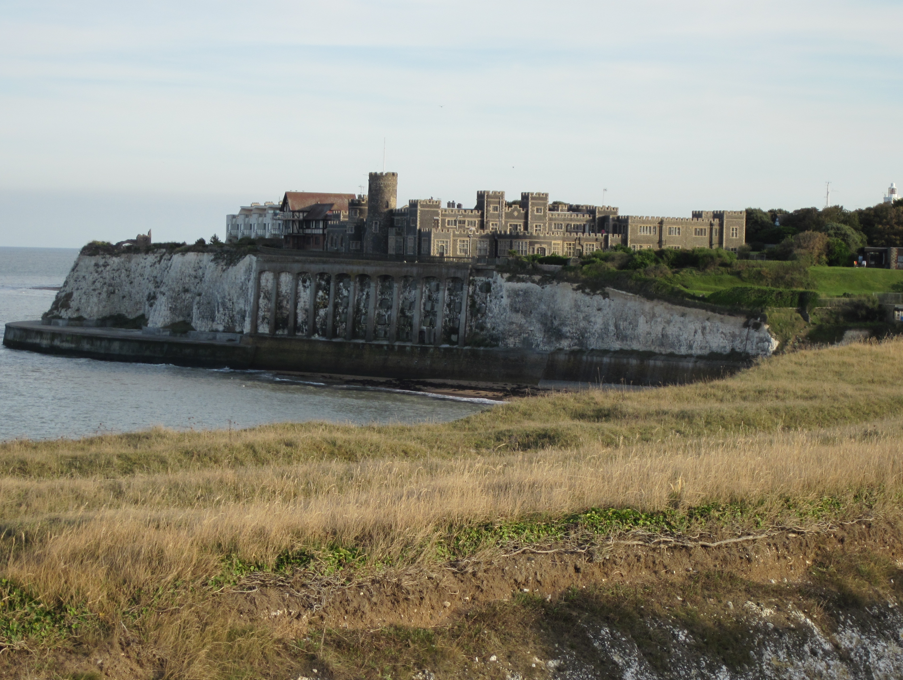
Kingsgate Castle

Kingsgate Castle on the cliffs above Kingsgate Bay, Broadstairs, Kent, was built for Lord Holland (Henry Fox, 1st Baron Holland) in the 1760s as the stable...

Kingsgate, Kent

Kingsgate is a hamlet in St Peter's parish, Broadstairs, Kent. The name Kingsgate is related to an incidental landing of Charles II on 30 June 1683 (‘gate...

Nearby Amenities

Located within 500m of 51.375468,1.449368
Traffic Calming: bump
Lat/Long: 51.3756956/1.4483478
Post Box
Collection Times: Mo-Fr 09:00; Sa 07:00
Operator: Royal Mail
Operator Wikidata: Q638098
Post Box Type: pillar
Ref: CT10 95D
Royal Cypher: VR
Royal Cypher Wikidata: Q33102356
Lat/Long: 51.374197/1.4453543
Traffic Calming: bump
Lat/Long: 51.3719459/1.446188
Traffic Calming: bump
Lat/Long: 51.3755235/1.446472
Man Made: surveillance
Lat/Long: 51.3758354/1.4463079
Post Box
Postal Code: CT10
Ref: CT10 103
Source: survey
Lat/Long: 51.3724086/1.4463985
Barrier: bollard
Lat/Long: 51.3788995/1.4453151
Traffic Calming: bump
Lat/Long: 51.373498/1.4465614
Traffic Calming: bump
Lat/Long: 51.3756062/1.4471706
Joss Bay, Broadstairs
Description: Bathing water quality monitoring point at Joss Bay, Broadstairs
Man Made: monitoring_station
Monitoring Bathing Water: yes
Operator: Environment Agency
Ref: 12700
Ref EU Bwid: ukj4210-12700
Source: Environment Agency Open Data
Website: http://environment.data.gov.uk/bwq/profiles/profile.html?site=ukj4210-12700
Lat/Long: 51.3792231/1.4461056
Easternmost Point of Kent
Tourism: viewpoint
Lat/Long: 51.3764474/1.4495898
Generator Method: photovoltaic
Generator Output Electricity: yes
Generator Source: solar
Generator Type: solar_photovoltaic_panel
Location: roof
Power: generator
Lat/Long: 51.3719763/1.4465019
Generator Method: photovoltaic
Generator Output Electricity: yes
Generator Source: solar
Generator Type: solar_photovoltaic_panel
Location: roof
Power: generator
Lat/Long: 51.3741178/1.4455792
Generator Method: photovoltaic
Generator Output Electricity: yes
Generator Source: solar
Generator Type: solar_photovoltaic_panel
Location: roof
Power: generator
Lat/Long: 51.3746368/1.4464885
Generator Method: photovoltaic
Generator Output Electricity: yes
Generator Source: solar
Generator Type: solar_photovoltaic_panel
Location: roof
Power: generator
Lat/Long: 51.3753869/1.4458689
Generator Method: photovoltaic
Generator Output Electricity: yes
Generator Source: solar
Generator Type: solar_photovoltaic_panel
Location: roof
Power: generator
Lat/Long: 51.3754489/1.4469096
Man Made: tower
Tower Construction: lattice
Tower Type: communication
Lat/Long: 51.375445/1.4453628
Man Made: flagpole
Lat/Long: 51.3748824/1.4454036
Generator Method: photovoltaic
Generator Output Electricity: yes
Generator Source: solar
Generator Type: solar_photovoltaic_panel
Location: roof
Power: generator
Lat/Long: 51.3736155/1.4479034
Generator Method: photovoltaic
Generator Output Electricity: yes
Generator Source: solar
Generator Type: solar_photovoltaic_panel
Location: roof
Power: generator
Lat/Long: 51.3754773/1.4487255
Man Made: flagpole
Lat/Long: 51.3746402/1.444843
Noexit: yes
Lat/Long: 51.3748632/1.4446126
Noexit: yes
Lat/Long: 51.3753283/1.4451313
Man Made: mast
Lat/Long: 51.3744803/1.4445157
Golf: pin
Lat/Long: 51.378912/1.4447715
Cafe
Joss Bay Cafe
Lat/Long: 51.37919/1.445913
Flag Wikidata: Q2408951
Flag Wikipedia: en:Thames Water
Man Made: flagpole
Lat/Long: 51.3791361/1.4457907
The data included in this document is from www.openstreetmap.org. The data is made available under ODbL.

Have you been to Foreland, North?

Leave your review of Foreland, North below (or comments, questions and feedback).