Betley Common
Settlement in Staffordshire Newcastle-under-Lyme
England
Betley Common
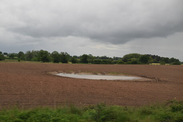
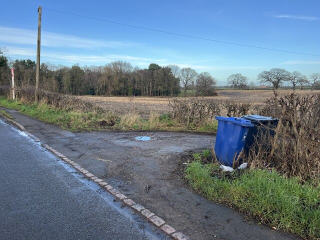
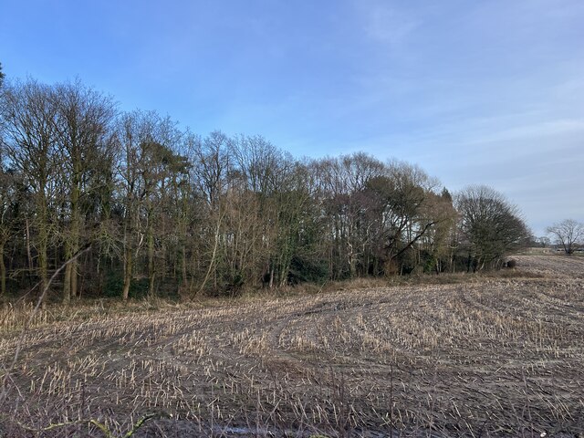
Betley Common is a rural area located in the county of Staffordshire, England. It spans an approximate area of 250 acres and is situated near the village of Betley. The common is known for its picturesque landscapes and natural beauty, attracting both locals and tourists alike.
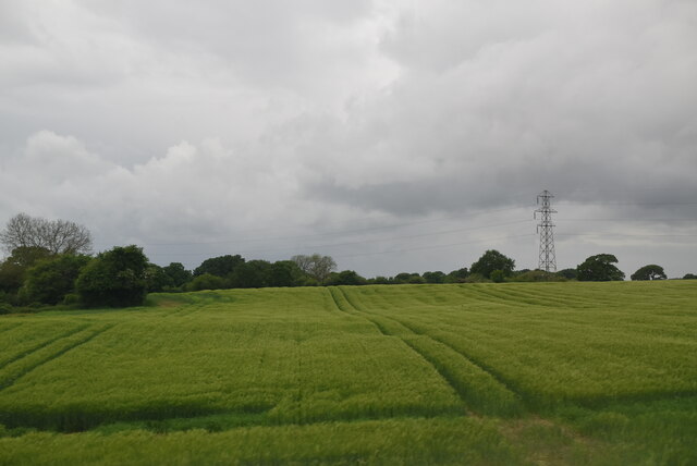
The common is characterized by its vast open spaces, consisting mainly of grasslands and heathland. It is home to a diverse range of flora and fauna, including rare plant species and various birds. The common is also known for its ancient woodland areas, which provide a habitat for a variety of wildlife.
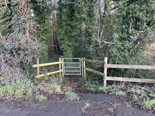
Betley Common offers several walking trails and paths, allowing visitors to explore its natural surroundings and enjoy peaceful strolls. The area is also popular for recreational activities such as picnicking, horse riding, and cycling. There are designated areas for these activities to ensure the preservation of the common's natural habitats.
In addition to its natural attractions, Betley Common has historical significance as well. It was once a part of the royal hunting grounds during the medieval period, and remnants of this history can still be seen in the form of old boundary walls and ditches.
Overall, Betley Common is a tranquil and scenic destination that offers a retreat from the hustle and bustle of city life. It provides visitors with an opportunity to immerse themselves in nature and appreciate the beauty of the Staffordshire countryside.
If you have any feedback on the listing, please let us know in the comments section below.
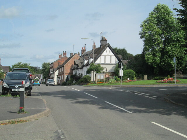
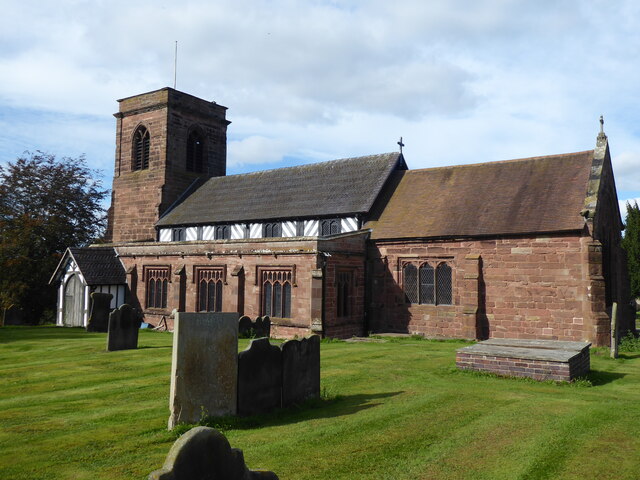
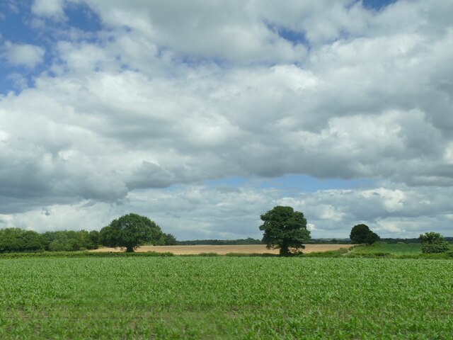
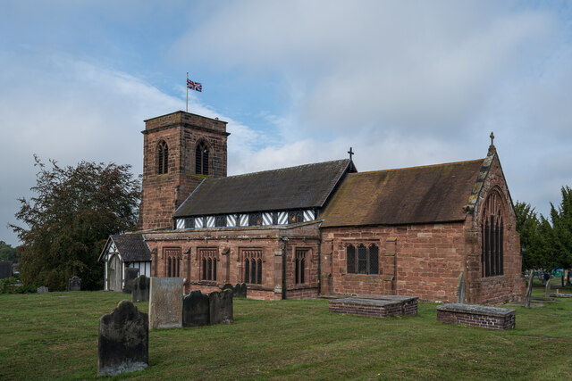
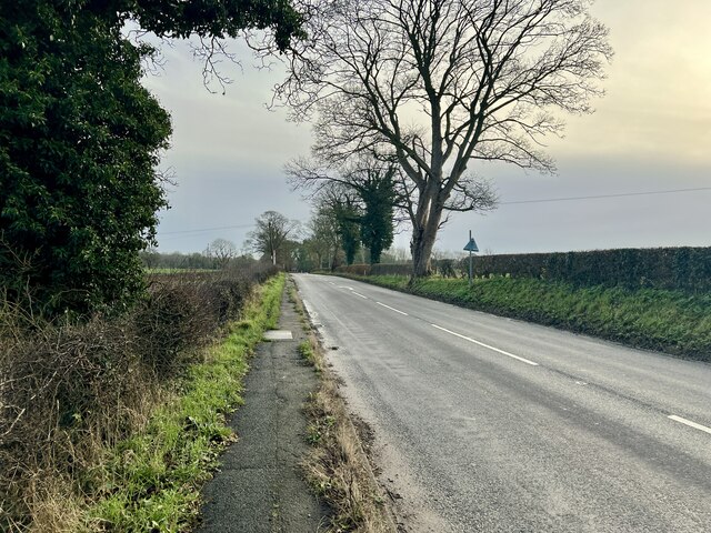
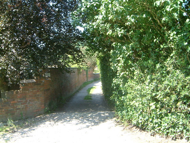
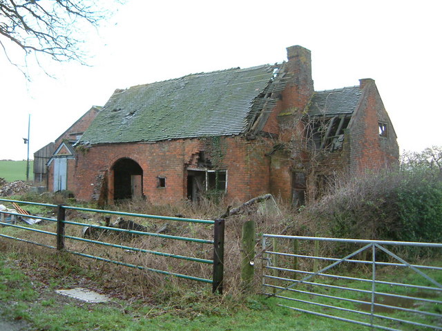
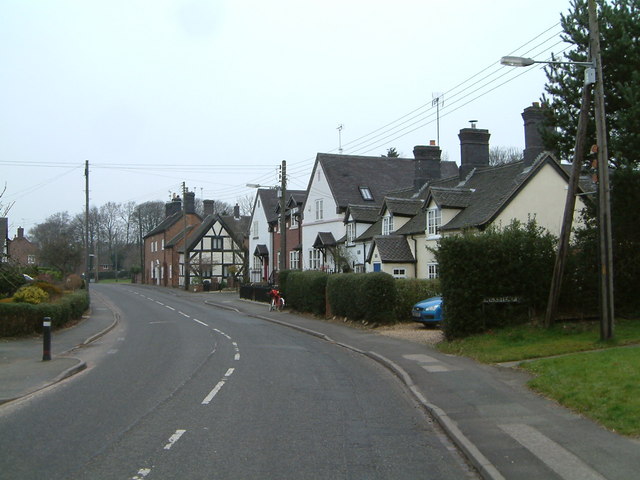
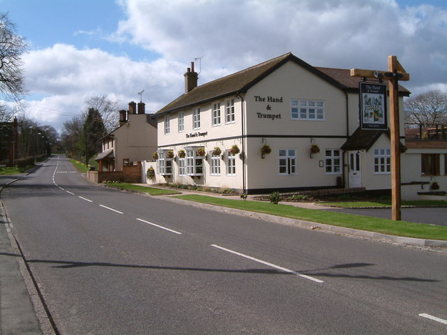
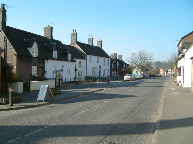
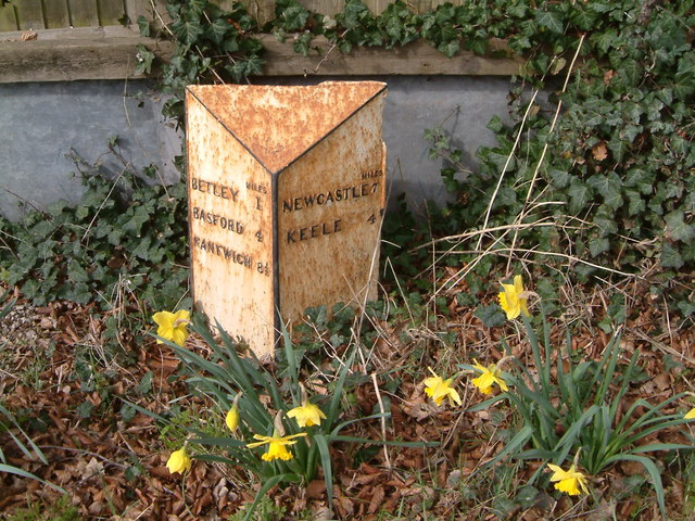
Betley Common Images
Images are sourced within 2km of 53.03496/-2.378006 or Grid Reference SJ7448. Thanks to Geograph Open Source API. All images are credited.
Betley Common is located at Grid Ref: SJ7448 (Lat: 53.03496, Lng: -2.378006)
Administrative County: Staffordshire
District: Newcastle-under-Lyme
Police Authority: Staffordshire
What 3 Words
///dodges.embellish.flirts. Near Betley, Staffordshire
Nearby Locations
Related Wikis

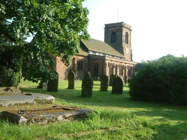
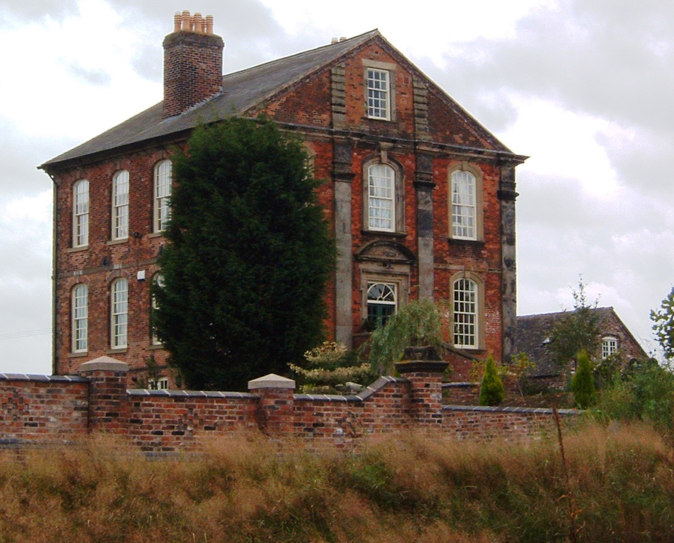
Betley Court
Betley Court is an 18th-century country house in the ancient village of Betley, near Newcastle-under-Lyme, Staffordshire. It is a Grade II* listed building...

Betley
Betley is a village and civil parish in the borough of Newcastle-under-Lyme in Staffordshire, England, about halfway between the town of Newcastle-under...

Betley Road railway station
Betley Road was a station on the London and North Western Railway serving Betley, Staffordshire. It opened in 1875 and closed in 1945. == References... ==

Black Firs and Cranberry Bog
Black Firs and Cranberry Bog is a nature reserve of the Staffordshire Wildlife Trust, adjacent to Balterley Heath and about 1 mile (1.6 km) north of the...
Wrinehill
Wrinehill, also called Checkley cum Wrinehill, is a village in the north-west of Staffordshire on the A531 road lying adjacent to the southern border of...

Balterley Heath
Balterley Heath is a village in the traditional county of Cheshire, England. It is now part of Balterley in the administrative county of Staffordshire...

Balterley Green
Balterley Green is a village in Staffordshire, England. The population at the 2011 population can be found under Balterley

Checkley cum Wrinehill
Checkley cum Wrinehill is a former civil parish, now in the parish of Doddington and District, in the unitary authority area of Cheshire East and the ceremonial...
Nearby Amenities
Located within 500m of 53.03496,-2.378006Have you been to Betley Common?
Leave your review of Betley Common below (or comments, questions and feedback).