Betley Common

Downs, Moorland in Staffordshire Newcastle-under-Lyme

England

Betley Common

The southern end of Betley Looking north along the main road (the A531) through Betley. The junction with Church Lane is seen on the right.
The southern end of Betley Credit: David Weston

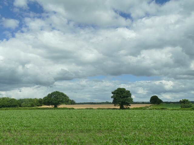
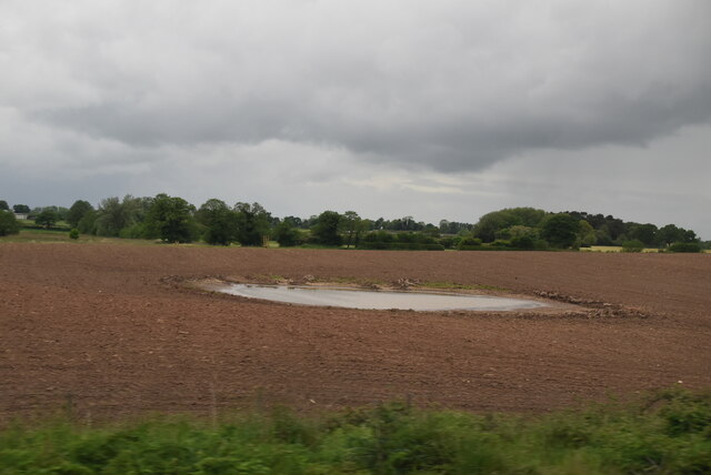
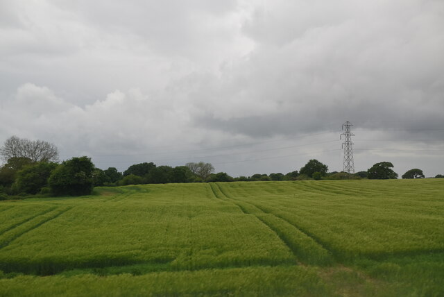
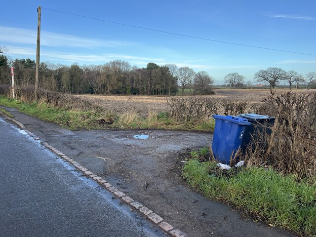
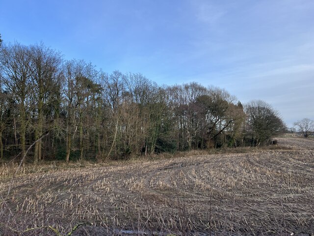
Betley Common is a picturesque area situated in Staffordshire, England. Stretching over 200 acres, it encompasses a diverse landscape of downs and moorland. The common is renowned for its natural beauty and is a popular destination for both locals and tourists.

The downs of Betley Common are characterized by gently rolling hills covered in lush green grass and scattered with wildflowers. These open spaces provide a perfect setting for leisurely walks and picnics, offering breathtaking views of the surrounding countryside. The downs also serve as a habitat for a variety of bird species, making it an ideal spot for birdwatchers.

In contrast, the moorland of Betley Common offers a different experience, with its rugged and wild terrain. Dense heather and gorse dominate this part of the common, creating a rich tapestry of colors throughout the year. The moorland is home to several species of wildlife, including rabbits, foxes, and various bird species.

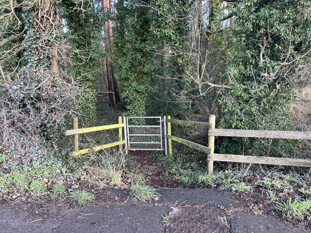
Visitors to Betley Common can enjoy a range of outdoor activities. Walking trails crisscross the area, catering to both casual strollers and avid hikers. Horse riding is also a popular pastime, with designated bridleways providing an opportunity to explore the common from a different perspective. Additionally, the common offers ample space for outdoor games and family-friendly activities.

Betley Common holds historical significance as well. The remains of an Iron Age hillfort can be found on the downs, serving as a reminder of the area's ancient past. This archaeological site adds an extra layer of intrigue for history enthusiasts.

Overall, Betley Common is a haven for nature lovers, offering a harmonious blend of downs and moorland. Its scenic beauty, wildlife, and recreational opportunities make it a must-visit destination in Staffordshire.

If you have any feedback on the listing, please let us know in the comments section below.

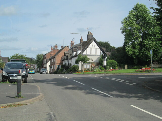
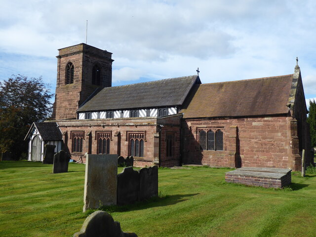
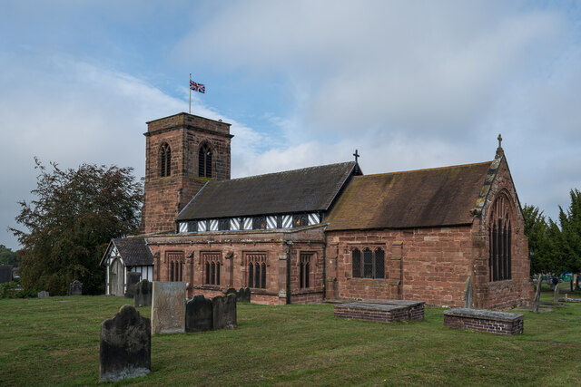
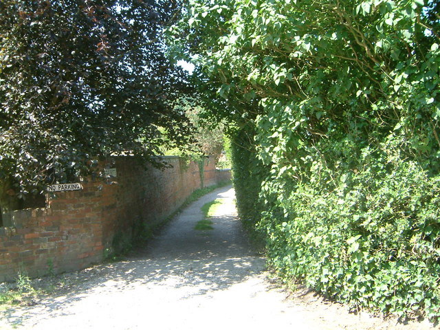
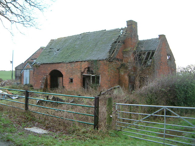
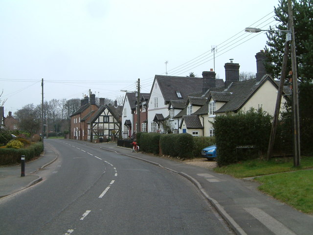
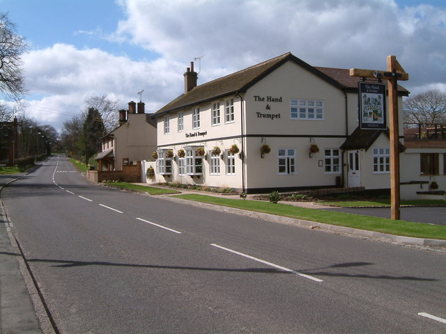
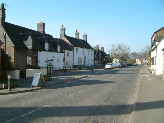
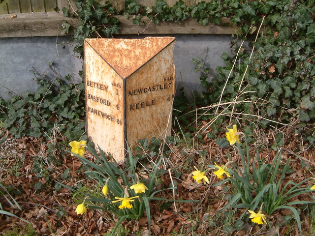
Betley Common Images

Images are sourced within 2km of 53.036283/-2.3773007 or Grid Reference SJ7448. Thanks to Geograph Open Source API. All images are credited.

The southern end of Betley Looking north along the main road (the A531) through Betley. The junction with Church Lane is seen on the right.
The southern end of Betley
Looking north along the main road (the A531) through Betley. The junction with Church Lane is seen on the right.
Betley, St Margaret
Betley, St Margaret
Fields near Chorlton, Cheshire The trees are adjacent to Waybutt Lane.
Fields near Chorlton, Cheshire
The trees are adjacent to Waybutt Lane.
St Margaret's Church, Betley Grade I Listed 

Parish church. Core of circa 1500 with C17 and C18 additions, heavily restored and partially rebuilt in 1842
St Margaret's Church, Betley
Grade I Listed Parish church. Core of circa 1500 with C17 and C18 additions, heavily restored and partially rebuilt in 1842
Boggy hollow
Boggy hollow
Arable field
Arable field
Public footpath off A531 The footpath leads eastwards from the main road along the southern edge of Black Firs SWT reserve.
Public footpath off A531
The footpath leads eastwards from the main road along the southern edge of Black Firs SWT reserve.
A531 south of Balterley Heath
Track to cottages off the A531
View across the field to Black Firs Black Firs is a former peat bog, drained in the 1800s. The complex system of concentric drainage ditches is still evident. Although there are some mature trees from the original planting the woodland has become more ‘natural’ in recent years with species such as alder, oak, birch and sycamore. Some indication of the former fen vegetation can be seen along some of the wetter ditches which retain water for much of the year. 

The site is now managed by Staffordshire Wildlife Trust. The SWT's page on Black Firs is at <span class="nowrap"><a title="http://www.staffs-wildlife.org.uk/reserves/black-firs-cranberry-bog" rel="nofollow ugc noopener" href="http://www.staffs-wildlife.org.uk/reserves/black-firs-cranberry-bog">Link</a><img style="margin-left:2px;" alt="External link" title="External link - shift click to open in new window" src="https://s1.geograph.org.uk/img/external.png" width="10" height="10"/></span>.
View across the field to Black Firs
Black Firs is a former peat bog, drained in the 1800s. The complex system of concentric drainage ditches is still evident. Although there are some mature trees from the original planting the woodland has become more ‘natural’ in recent years with species such as alder, oak, birch and sycamore. Some indication of the former fen vegetation can be seen along some of the wetter ditches which retain water for much of the year. The site is now managed by Staffordshire Wildlife Trust. The SWT's page on Black Firs is at LinkExternal link.
St Margarets Church - Betley Taken during Gravestone transcription project - June 1997
St Margarets Church - Betley
Taken during Gravestone transcription project - June 1997
Tower of St Margarets Church - Betley
The Butts - Betley.   A view of the Butts taken from the Church steps
The Butts - Betley. A view of the Butts taken from the Church steps
Bowhill Lane Farm - Betley All that remains of Bowhill farmhouse and barn
Bowhill Lane Farm - Betley
All that remains of Bowhill farmhouse and barn
Betley- The main road, looking north, the postmans bike at rest
A quiet road The new Hand & Trumpet public house on a quiet A531 through Wrinehill
A quiet road
The new Hand & Trumpet public house on a quiet A531 through Wrinehill
The Three Anchors & Black Horse A view along the A531 through Betley showing the lost public houses of Three Anchors and Black Horse
The Three Anchors & Black Horse
A view along the A531 through Betley showing the lost public houses of Three Anchors and Black Horse
A few miles to go Road sign in Wrinehill on the A531
A few miles to go
Road sign in Wrinehill on the A531
Show me another place!

Betley Common is located at Grid Ref: SJ7448 (Lat: 53.036283, Lng: -2.3773007)

Administrative County: Staffordshire

District: Newcastle-under-Lyme

Police Authority: Staffordshire

What 3 Words

///wacky.fishnet.debit. Near Betley, Staffordshire

Related Wikis

Betley Court

Betley Court is an 18th-century country house in the ancient village of Betley, near Newcastle-under-Lyme, Staffordshire. It is a Grade II* listed building...

Betley

Betley is a village and civil parish in the borough of Newcastle-under-Lyme in Staffordshire, England, about halfway between the town of Newcastle-under...

Betley Road railway station

Betley Road was a station on the London and North Western Railway serving Betley, Staffordshire. It opened in 1875 and closed in 1945. == References... ==

Black Firs and Cranberry Bog

Black Firs and Cranberry Bog is a nature reserve of the Staffordshire Wildlife Trust, adjacent to Balterley Heath and about 1 mile (1.6 km) north of the...

Nearby Amenities

Located within 500m of 53.036283,-2.3773007
Kerb: no
Lat/Long: 53.0338671/-2.3786422
The data included in this document is from www.openstreetmap.org. The data is made available under ODbL.

Have you been to Betley Common?

Leave your review of Betley Common below (or comments, questions and feedback).