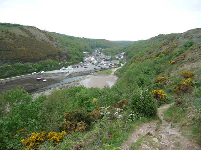
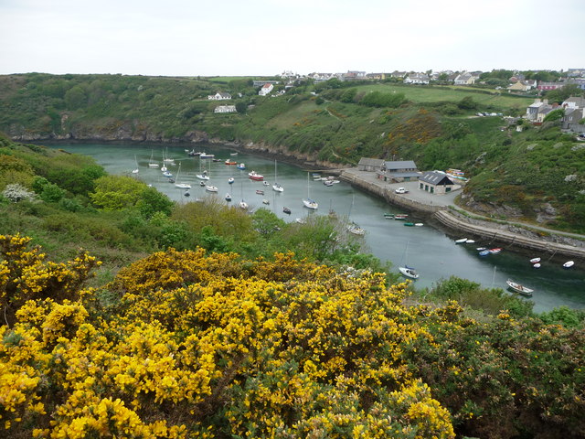
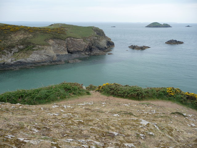
Nine Wells

Settlement in Pembrokeshire

Wales

Nine Wells

Solva harbour Low tide at Solva harbour, lime kilns on the far shore.
Solva harbour Credit: E Gammie

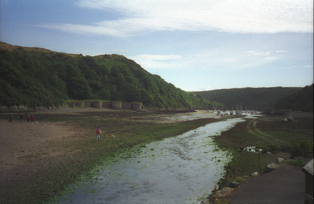
Nine Wells is a small village located in the county of Pembrokeshire, Wales. Situated about 3 miles northeast of the town of Haverfordwest, Nine Wells is surrounded by picturesque countryside and boasts a tranquil and idyllic setting.

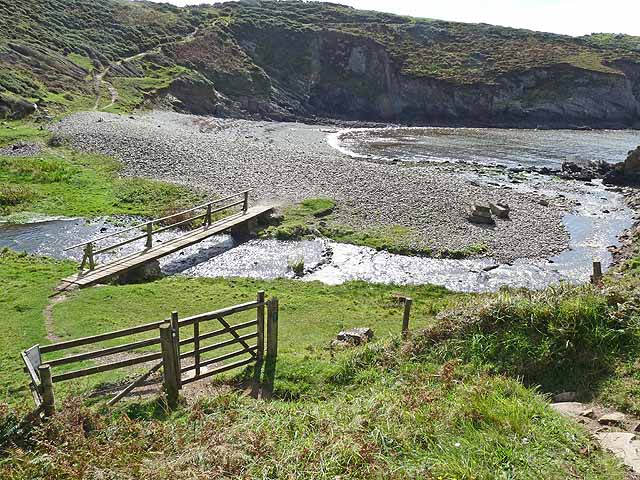
The village takes its name from the nine natural springs that can be found in the area, which are known to have healing properties. These springs have been a significant feature of Nine Wells for centuries and have attracted visitors seeking their therapeutic qualities.

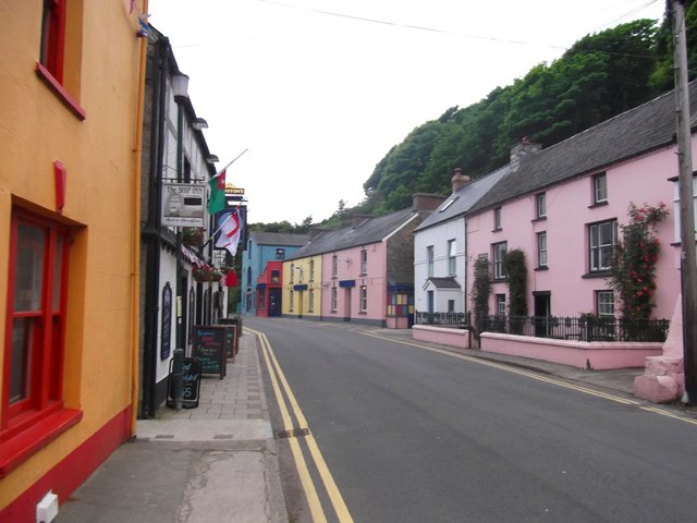
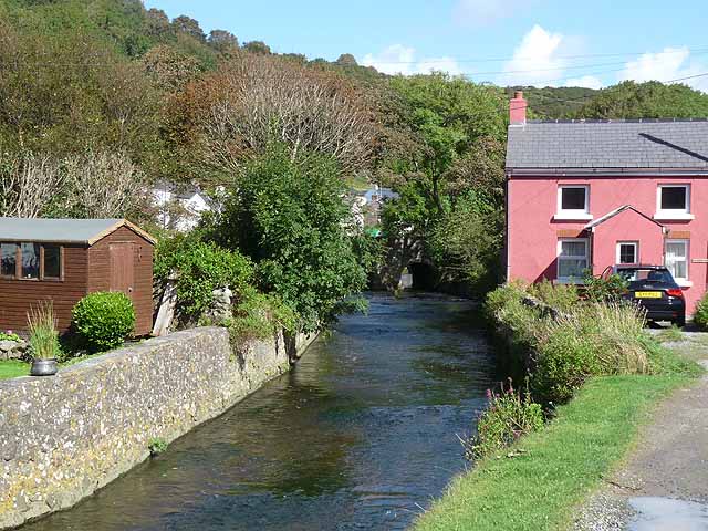
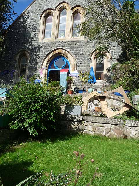
The village itself is characterized by its charming and traditional Welsh architecture, with stone cottages and farmhouses dotting the landscape. The community is close-knit and friendly, with a population of around 300 residents.

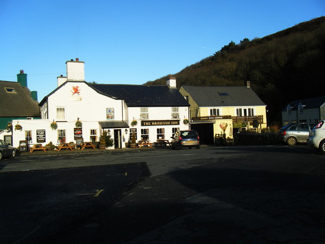
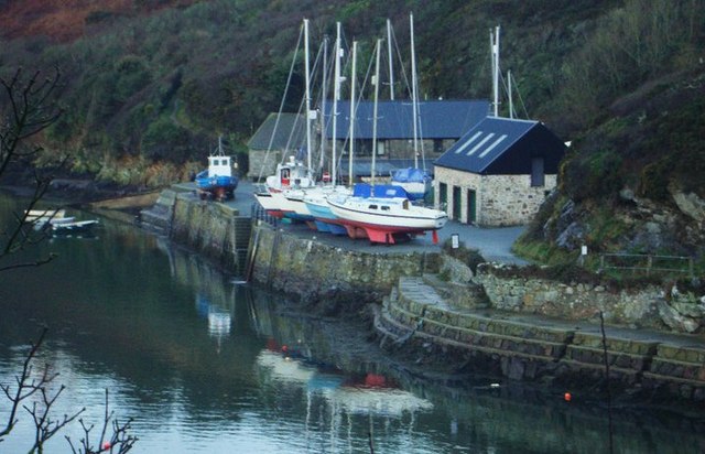
Nine Wells offers a range of amenities to cater to the needs of its residents and visitors. The village has a local pub, providing a cozy and welcoming atmosphere for socializing and enjoying a drink or meal. Additionally, there are several bed and breakfast establishments in the area, allowing visitors to experience the beauty of the countryside while enjoying comfortable accommodations.

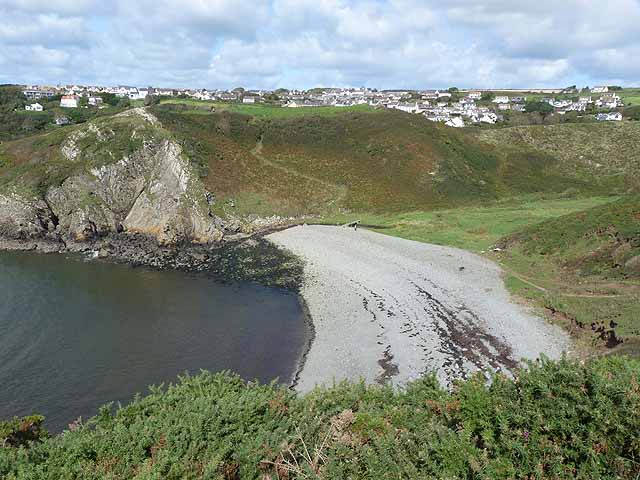
For outdoor enthusiasts, Nine Wells is an ideal location. The village is surrounded by stunning natural landscapes, including lush green fields, rolling hills, and meandering streams. There are numerous walking and cycling routes in the vicinity, offering opportunities to explore the scenic surroundings and appreciate the tranquility of the Welsh countryside.

In summary, Nine Wells is a charming village in Pembrokeshire, Wales, known for its healing springs, traditional architecture, and beautiful natural surroundings. Whether seeking relaxation, outdoor activities, or a taste of Welsh village life, Nine Wells provides a delightful destination for residents and visitors alike.

If you have any feedback on the listing, please let us know in the comments section below.
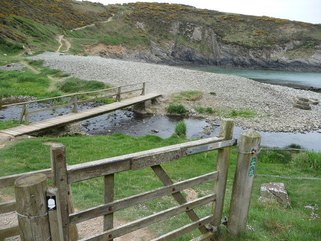
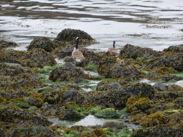
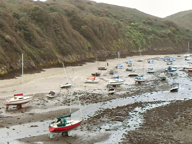
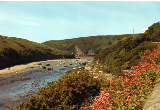
Nine Wells Images

Images are sourced within 2km of 51.878008/-5.215327 or Grid Reference SM7824. Thanks to Geograph Open Source API. All images are credited.

Solva harbour Low tide at Solva harbour, lime kilns on the far shore.
Solva harbour
Low tide at Solva harbour, lime kilns on the far shore.
Lower Solva from Gribin Lower Solva lies behind Solva Harbour, which itself is in a 'fjord-like' inlet in the coastline here. Gribin is also known as the Cribyn ridge locally.
Lower Solva from Gribin
Lower Solva lies behind Solva Harbour, which itself is in a 'fjord-like' inlet in the coastline here. Gribin is also known as the Cribyn ridge locally.
Solva harbour from Gribin The houses of Upper Solva lie above the inlet, some overlooking the picturesque harbour.
Solva harbour from Gribin
The houses of Upper Solva lie above the inlet, some overlooking the picturesque harbour.
Rocks and islands off Solva harbour Beyond Penrhyn Head are St. Elvis' Rock and Black Rock and out to sea is larger Green Scar with The Mare and Black Scar each side. Quite a coastline.
Rocks and islands off Solva harbour
Beyond Penrhyn Head are St. Elvis' Rock and Black Rock and out to sea is larger Green Scar with The Mare and Black Scar each side. Quite a coastline.
Gate and footbridge at Gwadn The pebbly storm beach here is interesting and it's a lovely spot.
Gate and footbridge at Gwadn
The pebbly storm beach here is interesting and it's a lovely spot.
Canada Geese with goslings on Gwadn This little family waddled off seawards at my approach, just as well as a dog off its lead came in a few minutes later.
Canada Geese with goslings on Gwadn
This little family waddled off seawards at my approach, just as well as a dog off its lead came in a few minutes later.
Solva 1971
Solva 1971
Lower Solva
Lower Solva
Footbridge at Gwadn Bay A steep descent on the Pembrokeshire Coast Path to cross this stream is immediately followed by a steep climb.
Footbridge at Gwadn Bay
A steep descent on the Pembrokeshire Coast Path to cross this stream is immediately followed by a steep climb.
Gwadn Bay A steep descent on the Pembrokeshire Coast Path to cross this deeply incised valley with stony beach is immediately followed by a steep climb. Solva village can be seen in the distance.
Gwadn Bay
A steep descent on the Pembrokeshire Coast Path to cross this deeply incised valley with stony beach is immediately followed by a steep climb. Solva village can be seen in the distance.
The River Solva at Solva Looking upstream.
The River Solva at Solva
Looking upstream.
Art cafe, Solva With many artworks outside, but closed and up for sale.
Art cafe, Solva
With many artworks outside, but closed and up for sale.
Lime Kilns, Solva harbour Group of limekilns dating from the time when limestone was imported by boat from the south of the county to be roasted here and then used to sweeten the more acid soils in this part of Pembrokeshire.
Lime Kilns, Solva harbour
Group of limekilns dating from the time when limestone was imported by boat from the south of the county to be roasted here and then used to sweeten the more acid soils in this part of Pembrokeshire.
Solva quay Solva quay was once busy with commercial traffic and fishing boats, but is now mainly concerned with pleasure craft.
Solva quay
Solva quay was once busy with commercial traffic and fishing boats, but is now mainly concerned with pleasure craft.
Disused quarry at Middle Mill, Solva A huge quarry set into the hillside at Middle Mill. Currently for sale, the quarry is described as 'quartz dolomite hard stone', which I would assume is best used as roadstone.
Disused quarry at Middle Mill, Solva
A huge quarry set into the hillside at Middle Mill. Currently for sale, the quarry is described as 'quartz dolomite hard stone', which I would assume is best used as roadstone.
The Harbour Inn, Lower Solva
Boats at Solva Quay Awaiting their winter service
Boats at Solva Quay
Awaiting their winter service
Show me another place!

Nine Wells is located at Grid Ref: SM7824 (Lat: 51.878008, Lng: -5.215327)

Unitary Authority: Pembrokeshire

Police Authority: Dyfed Powys

What 3 Words

///retailing.rhino.apart. Near St Davids, Pembrokeshire

Related Wikis

Dwrhyd Pit

Dwrhyd Pit is a Site of Special Scientific Interest (or SSSI) in Pembrokeshire, South Wales. It has been designated as a Site of Special Scientific Interest...

RAF St Davids

Royal Air Force St Davids, or more simply RAF St Davids, is a former Royal Air Force station, near the city of St Davids, Pembrokeshire, Wales, in the...

Whitchurch, Pembrokeshire

Whitchurch (Welsh: Tregroes, lit. "Town of the Cross") is a small village and parish (Plwy'r Groes, lit. "Parish of the Cross") in north-western Pembrokeshire...

Solva

Solva (Welsh: Solfach) is a village, community and electoral ward in Pembrokeshire, Wales. The village comprises principally Lower Solva and Upper Solva...

Nearby Amenities

Located within 500m of 51.878008,-5.215327
Nine Wells
Is In: Pembrokeshire
Name Cy: Naw Ffynnon
Place: hamlet
Lat/Long: 51.879452/-5.2172181
Location Transition: yes
Power: pole
Lat/Long: 51.8797761/-5.2168161
Power: pole
Lat/Long: 51.8800079/-5.2180418
Power: pole
Lat/Long: 51.880397/-5.2198818
Power: pole
Lat/Long: 51.8806255/-5.2210432
Power: pole
Lat/Long: 51.8817266/-5.2138254
Power: pole
Lat/Long: 51.8813557/-5.2143484
Power: pole
Lat/Long: 51.8810444/-5.2152631
Power: pole
Lat/Long: 51.8807365/-5.2161723
Power: pole
Lat/Long: 51.8804508/-5.21704
Power: pole
Lat/Long: 51.8790873/-5.2215207
Power: pole
Lat/Long: 51.8801421/-5.2211854
Direction: 175
Generator Method: photovoltaic
Generator Output Electricity: yes
Generator Solar Modules: 13
Generator Source: solar
Generator Type: solar_photovoltaic_panel
Location: roof
Power: generator
Lat/Long: 51.8792049/-5.2211827
Direction: 165
Generator Method: photovoltaic
Generator Output Electricity: yes
Generator Solar Modules: 16
Generator Source: solar
Generator Type: solar_photovoltaic_panel
Location: roof
Power: generator
Lat/Long: 51.8797612/-5.2206945
The data included in this document is from www.openstreetmap.org. The data is made available under ODbL.

Have you been to Nine Wells?

Leave your review of Nine Wells below (or comments, questions and feedback).