Bethania

Settlement in Caernarfonshire

Wales

Bethania

Gorsaf drydan-dwr Llyndy Isaf / Llyndy Isaf Hydro-electric power station
Gorsaf drydan-dwr Llyndy Isaf / Llyndy Isaf Hydro-electric power station Credit: Ceri Thomas

Bethania is a small village located in the county of Caernarfonshire, Wales. Situated in the northwestern part of the country, it lies approximately 7 miles south of the town of Caernarfon and 11 miles north of Porthmadog. The village is nestled in the picturesque countryside, surrounded by rolling hills and scenic landscapes.

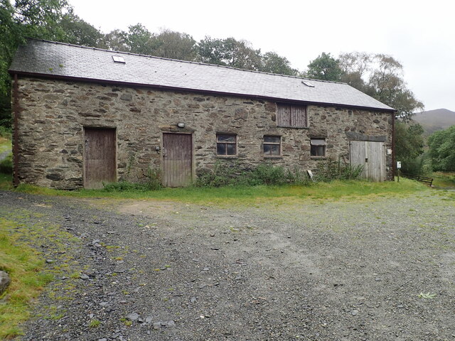
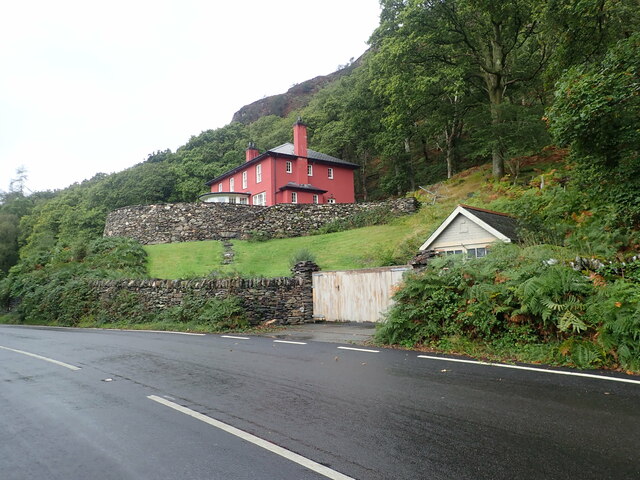
Bethania is known for its rich historical heritage, with evidence of human settlement dating back centuries. The village is predominantly rural, characterized by a charming collection of traditional Welsh houses and cottages. The local community is closely knit, fostering a friendly and welcoming atmosphere.

The village is home to Bethania Chapel, a significant religious landmark in the area. Built in the 19th century, the chapel serves as a focal point for the community and holds regular worship services and community events. The chapel's architecture is a testament to the traditional Welsh Nonconformist style, with its simple yet elegant design.

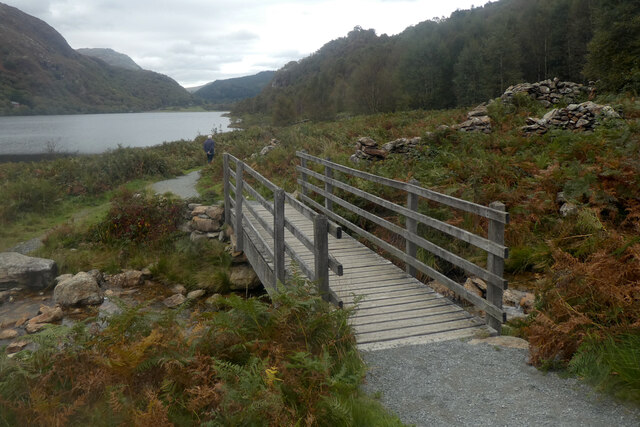
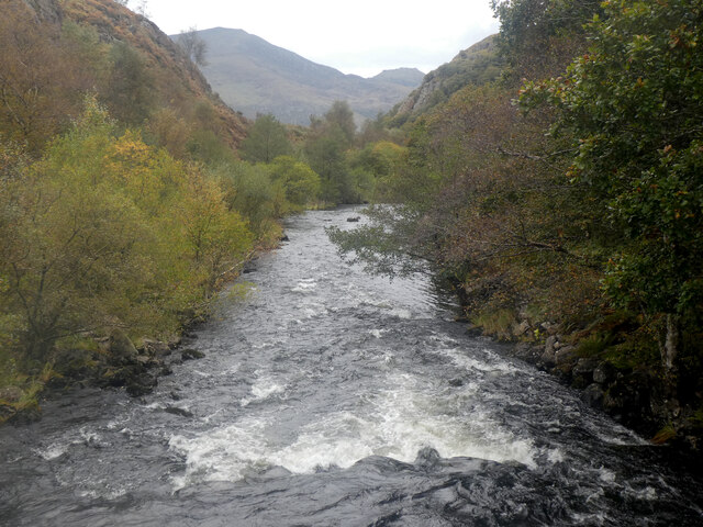
The surrounding area offers ample opportunities for outdoor activities, such as hiking, cycling, and fishing. The nearby Snowdonia National Park provides breathtaking views and is a popular destination for nature enthusiasts. Additionally, the village is in close proximity to the stunning coastal areas of the Llŷn Peninsula, offering residents and visitors alike the chance to explore sandy beaches and enjoy water sports.

Overall, Bethania is a peaceful and idyllic village, offering a tranquil retreat from the hustle and bustle of modern life. Its rich history, natural beauty, and strong community spirit make it a charming place to visit or call home.

If you have any feedback on the listing, please let us know in the comments section below.
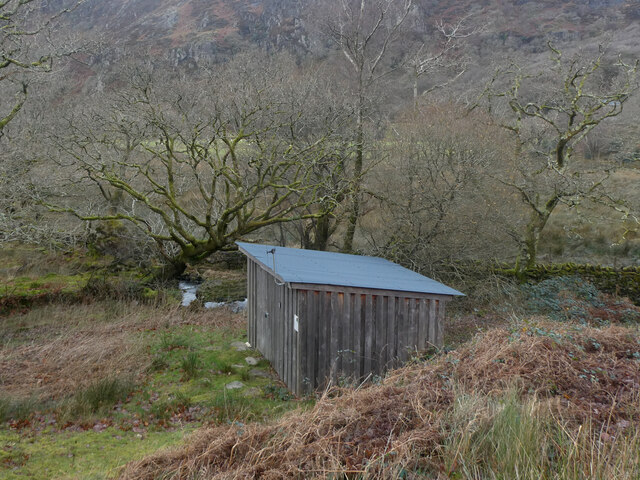
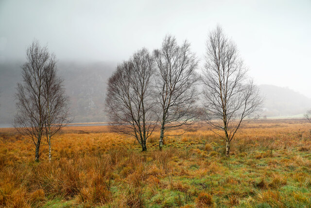
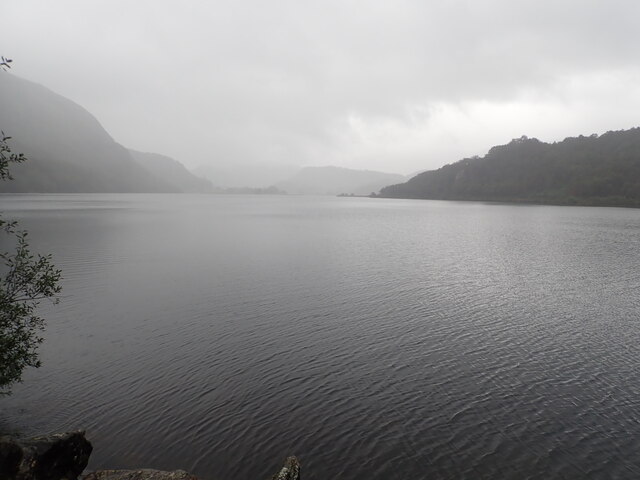
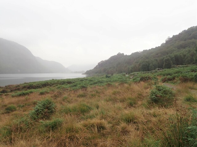
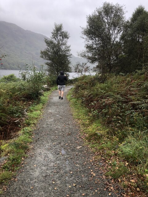
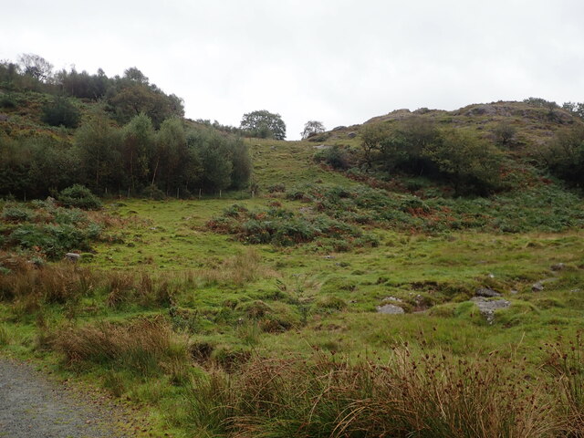
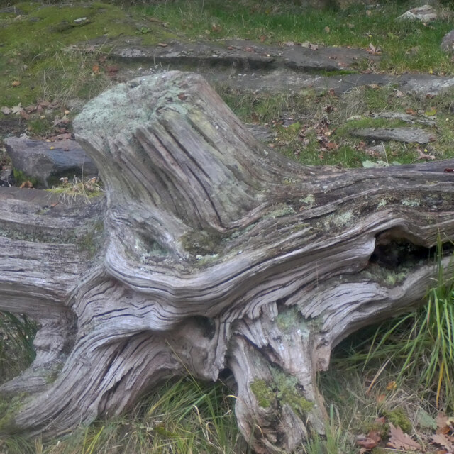
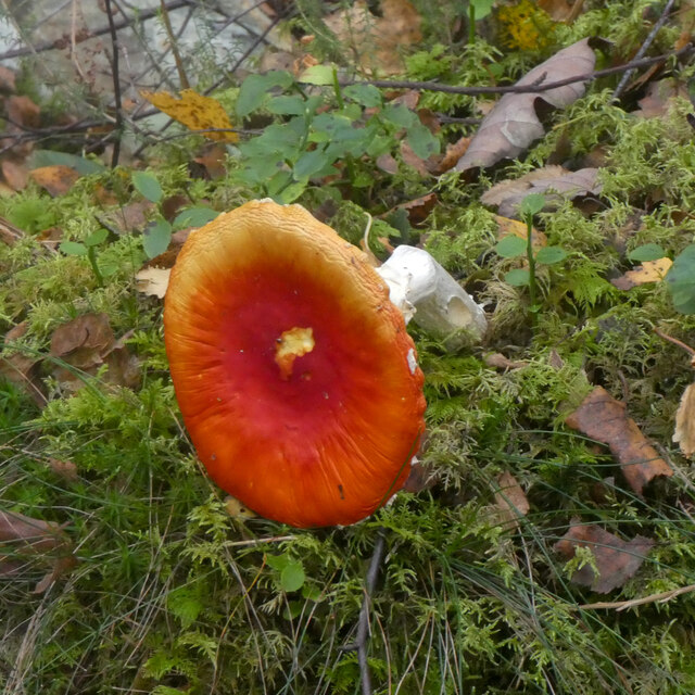
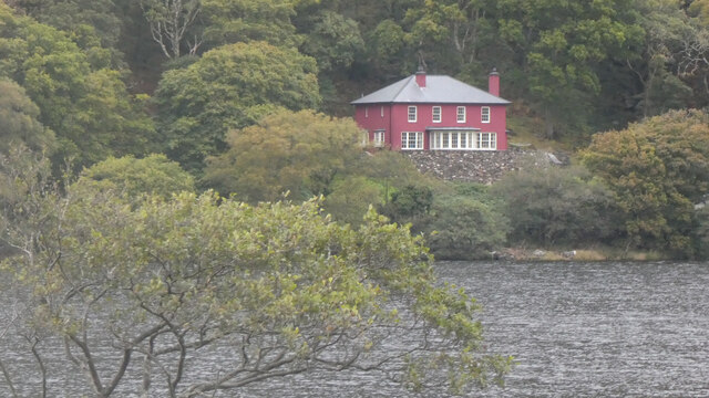
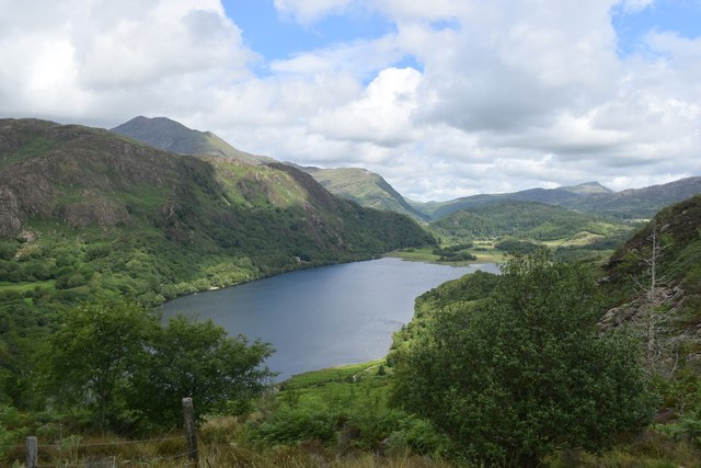
Bethania Images

Images are sourced within 2km of 53.033398/-4.0493917 or Grid Reference SH6250. Thanks to Geograph Open Source API. All images are credited.

Gorsaf drydan-dwr Llyndy Isaf / Llyndy Isaf Hydro-electric power station
Winter birches on Nantgwynant The marshy land between the public footpath and Llyn Dinas on its southeast shore is dotted with Downy Birch - the species of birch (of our two natives) better adapted to such wet soils. On a wet day like this when the higher parts of Snowdonia are unattractive to walkers, lower level paths like this one present opportunties to have the trees stand out against the low-contrast background, and close examination shows that every twig is adorned with droplets of water catching the light from the low clouds.
Winter birches on Nantgwynant
The marshy land between the public footpath and Llyn Dinas on its southeast shore is dotted with Downy Birch - the species of birch (of our two natives) better adapted to such wet soils. On a wet day like this when the higher parts of Snowdonia are unattractive to walkers, lower level paths like this one present opportunties to have the trees stand out against the low-contrast background, and close examination shows that every twig is adorned with droplets of water catching the light from the low clouds.
Llyn Dinas North of Beddgelert in the Nant Gwynant Pass, Llyn Dinas is a mountain lake with a footpath around its eastern shore. It is a fairly shallow lake, covering an area of 60 acres.
Llyn Dinas
North of Beddgelert in the Nant Gwynant Pass, Llyn Dinas is a mountain lake with a footpath around its eastern shore. It is a fairly shallow lake, covering an area of 60 acres.
Llyn Dinas North of Beddgelert in the Nant Gwynant Pass, Llyn Dinas is a mountain lake with a footpath around its eastern shore. It is a fairly shallow lake, covering an area of 60 acres. This is looking north from the footbridge which crosses the River Glaslyn
Llyn Dinas
North of Beddgelert in the Nant Gwynant Pass, Llyn Dinas is a mountain lake with a footpath around its eastern shore. It is a fairly shallow lake, covering an area of 60 acres. This is looking north from the footbridge which crosses the River Glaslyn
Llyn Dinas A bit of a damp walk by the lake
Llyn Dinas
A bit of a damp walk by the lake
Footpath round the eastern side of Llyn Dinas
Walking around Llyn Dinas
Moorland and hillocks, near Llyn Dinas
Barn at Llyndy Isaf
Barn at Llyndy Isaf
Glan Llyn Standing proud above the A498
Glan Llyn
Standing proud above the A498
Pont droed dros Afon Goch / Footbridge over Afon Gogh
Afon Glaslyn
Afon Glaslyn
Bonyn derwen / An oak stump
Caws llyffant / Toadstools (1)
Caws llyffant / Toadstools (2)
Glan Llyn
Glan Llyn
Vista of Llyn Dinas
Vista of Llyn Dinas
Afon Glaslyn below Llyn Dinas Compare the vegetation in the shot taken by Ceri Thomas in October: <a title="https://www.geograph.org.uk/photo/7308195" href="https://www.geograph.org.uk/photo/7308195">Link</a> .
Afon Glaslyn below Llyn Dinas
Compare the vegetation in the shot taken by Ceri Thomas in October: Link .
Show me another place!

Bethania is located at Grid Ref: SH6250 (Lat: 53.033398, Lng: -4.0493917)

Unitary Authority: Gwynedd

Police Authority: North Wales

What 3 Words

///stumps.courts.defaults. Near Blaenau-Ffestiniog, Gwynedd

Nearby Locations

Coed yr Odyn Bethania

Related Wikis

Plas Gwynant

Plas Gwynant is an educational resort in Snowdonia, Wales. This country estate also includes a woodland and riverside walks, as well as a parkland and...
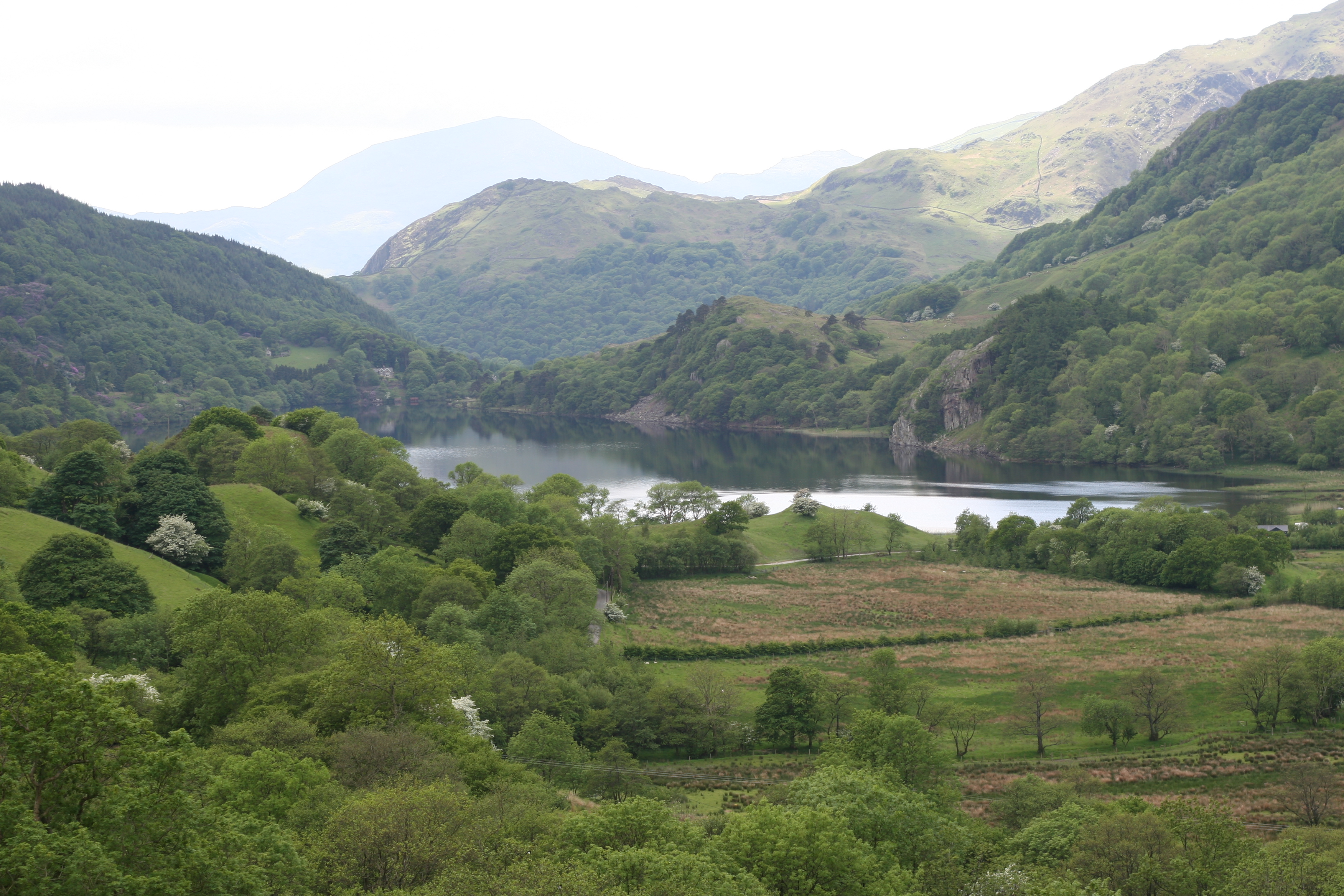
Nant Gwynant

Nant Gwynant (also spelt Nantgwynant) is a valley in northern Wales. The A498 road descends 600 feet (180 m) into the valley in about two miles (3 km)...

Llyn Gwynant

Llyn Gwynant is a lake in Snowdonia, Wales. Llyn Gwynant lies on the River Glaslyn, in the Nant Gwynant valley, and is about 1¼ miles (2 km) north east...

Llyn Dinas

Llyn Dinas is a lake near Beddgelert, Gwynedd in north Wales. It is formed by the River Glaslyn. Llyn Dinas lies on the valley floor a few miles north...

Nearby Amenities

Located within 500m of 53.033398,-4.0493917
Source: npe
Lat/Long: 53.0363412/-4.0489719
Source: npe
Lat/Long: 53.0345784/-4.0486256
Source: npe
Lat/Long: 53.033591/-4.0488751
Source: npe
Lat/Long: 53.0327168/-4.049413
Source: npe
Lat/Long: 53.0315183/-4.0501018
Source: npe
Lat/Long: 53.0309442/-4.0517302
Stone Seat
Lat/Long: 53.0359915/-4.0439011
Post Box
Operator: Royal Mail
Post Box Type: lamp
Ref: LL55 147
Royal Cypher: EIIR
Royal Cypher Wikidata: Q33102113
Lat/Long: 53.0335838/-4.0493238
Barrier: cattle_grid
Lat/Long: 53.0349578/-4.0447849
Barrier: cattle_grid
Source: Bing
Lat/Long: 53.0351443/-4.0489556
Barrier: entrance
Source: survey;gps
Lat/Long: 53.0349623/-4.0490131
Bus Stop
Nant Gwynant car park
Bus: yes
Public Transport: platform
Lat/Long: 53.0356847/-4.0482626
Bus Stop
Nant Gwynant car park
Bus: yes
Public Transport: platform
Lat/Long: 53.0363194/-4.0472377
Telephone
Booth: KX100
Covered: booth
Operator: BT
Lat/Long: 53.0346856/-4.0488945
Barrier: cattle_grid
Lat/Long: 53.0315181/-4.048346
Information: guidepost
Tourism: information
Lat/Long: 53.0315494/-4.0483286
Defibrillator
Defibrillator Location: outside Caffi Gwynant on wall of terrace
Emergency: defibrillator
Ref GB The Circuit: F7D8AC5C-B944-4FC9-9EB3-AE730118E494
Lat/Long: 53.0342769/-4.0491662
Power: pole
Lat/Long: 53.0335934/-4.0472154
Power: pole
Lat/Long: 53.0333681/-4.0459212
Power: pole
Lat/Long: 53.0331153/-4.0446436
Power: pole
Lat/Long: 53.0328389/-4.0435254
Power: pole
Lat/Long: 53.0325686/-4.0424197
Power: pole
Lat/Long: 53.0320332/-4.0423141
Power: pole
Lat/Long: 53.0338527/-4.0485028
Hiking: yes
Information: guidepost
Source: GPS survey
Tourism: information
Lat/Long: 53.036445/-4.0469277
Vending Machine
Vending: parking_tickets
Lat/Long: 53.0356187/-4.0480166
Power: pole
Lat/Long: 53.0374723/-4.0493712
Power: pole
Lat/Long: 53.0365313/-4.0483412
Power: pole
Lat/Long: 53.0357224/-4.0475553
Information: board
Tourism: information
Lat/Long: 53.0356116/-4.0479972
Clogwyn Melyn
Place: locality
Lat/Long: 53.035244/-4.0506499
Parc Hafod-y-llan
Place: locality
Lat/Long: 53.0366357/-4.052275
Pont Bethania
Place: locality
Lat/Long: 53.0355725/-4.0483426
Direction: SE
Generator Method: photovoltaic
Generator Output Electricity: yes
Generator Solar Modules: 30
Generator Source: solar
Generator Type: solar_photovoltaic_panel
Location: roof
Power: generator
Lat/Long: 53.0296302/-4.0528406
The data included in this document is from www.openstreetmap.org. The data is made available under ODbL.

Have you been to Bethania?

Leave your review of Bethania below (or comments, questions and feedback).