Bethania
Settlement in Merionethshire
Wales
Bethania

The requested URL returned error: 429 Too Many Requests
If you have any feedback on the listing, please let us know in the comments section below.
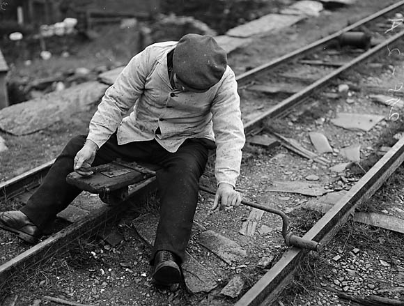
Bethania Images
Images are sourced within 2km of 52.989147/-3.924754 or Grid Reference SH7045. Thanks to Geograph Open Source API. All images are credited.


Bethania is located at Grid Ref: SH7045 (Lat: 52.989147, Lng: -3.924754)
Unitary Authority: Gwynedd
Police Authority: North Wales
What 3 Words
///restless.ultra.baffle. Near Blaenau-Ffestiniog, Gwynedd
Nearby Locations
Related Wikis
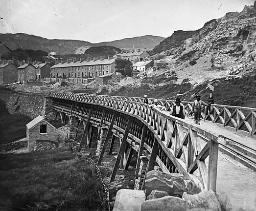
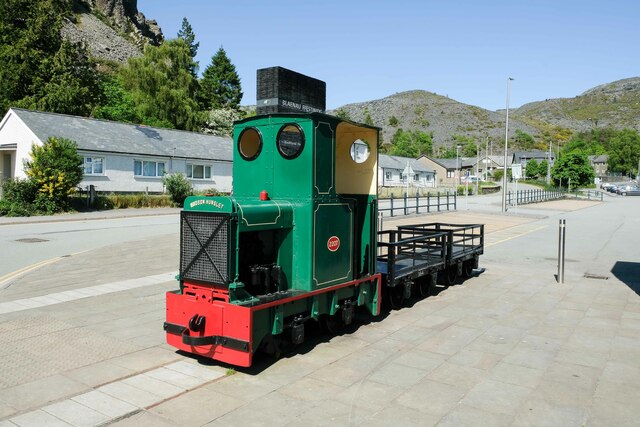
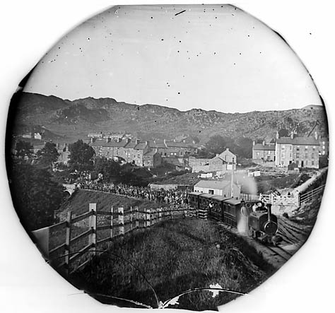
Festiniog and Blaenau Railway
The Festiniog & Blaenau Railway (F&BR) was a narrow gauge railway built in 1868 to connect the town of Blaenau Ffestiniog in Wales with the slate quarries...
Tan-y-Manod railway station
Tan-y-Manod railway station was a railway station approximately 1 mile (1.6 km) south of Blaenau Ffestiniog, in Gwynedd (formerly Merionethshire), North...
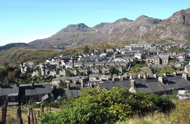
Ffestiniog
Ffestiniog (/fɛsˈtɪnjɒɡ/; Welsh pronunciation: [fɛstˈɪnjɔg]; ) is a community in Gwynedd, Wales, containing several villages, in particular the settlements...
Car gwyllt
The car gwyllt ("wild car"; plural: ceir gwyllt) is a Welsh invention used by quarrymen to ride downhill on the steep inclined planes of a slate quarry...
Nearby Amenities
Located within 500m of 52.989147,-3.924754Have you been to Bethania?
Leave your review of Bethania below (or comments, questions and feedback).