Betchworth
Settlement in Surrey Mole Valley
England
Betchworth

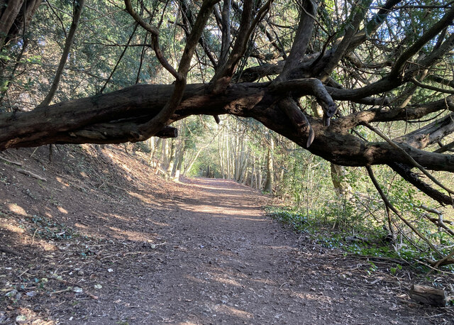
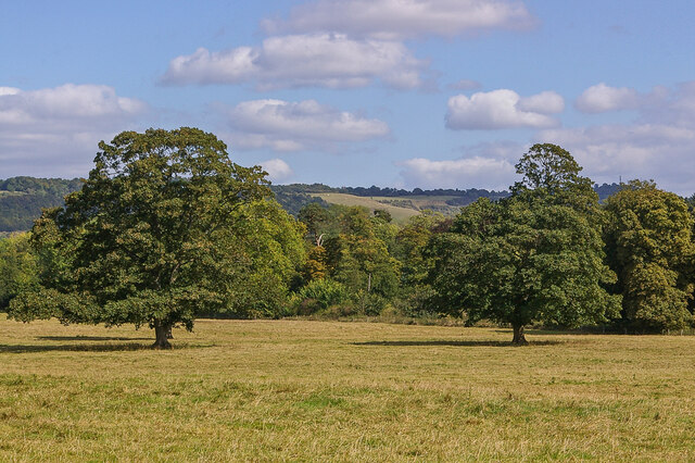
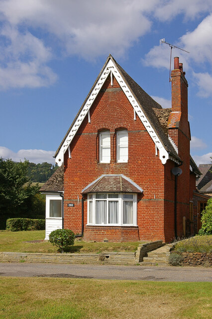
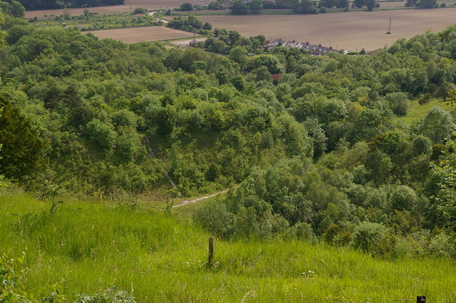
Betchworth is a picturesque village located in Surrey, England. Situated on the River Mole, it is known for its charming countryside setting and historic buildings. The village is surrounded by lush greenery and rolling hills, making it a popular destination for nature lovers and outdoor enthusiasts.
One of the main attractions in Betchworth is the Betchworth Castle, a medieval ruin that offers stunning views of the surrounding landscape. The village is also home to several historic churches, including St. Michael's Church, which dates back to the 12th century.
Betchworth has a small but vibrant community, with a range of amenities including local shops, pubs, and restaurants. The village is well-connected by road and rail, with easy access to nearby towns such as Dorking and Reigate.
Overall, Betchworth offers a peaceful and idyllic setting for those looking to escape the hustle and bustle of city life and enjoy the beauty of the Surrey countryside.
If you have any feedback on the listing, please let us know in the comments section below.
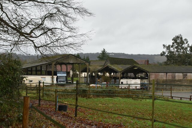
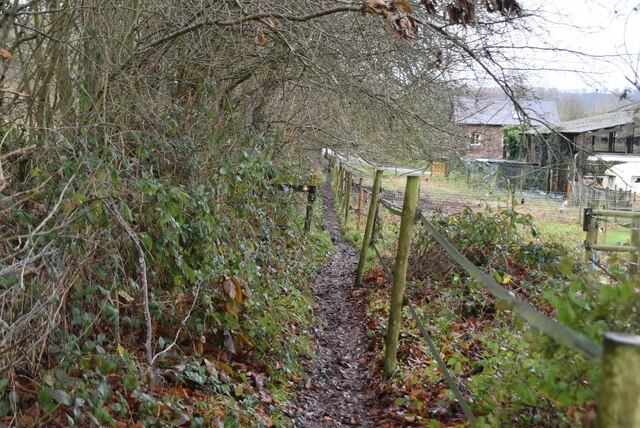
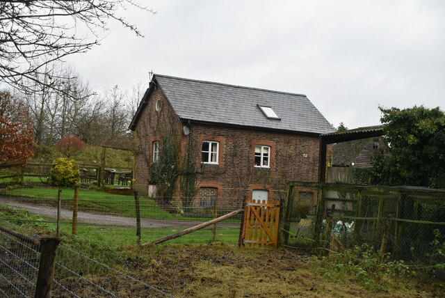
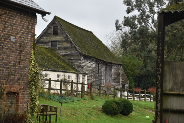
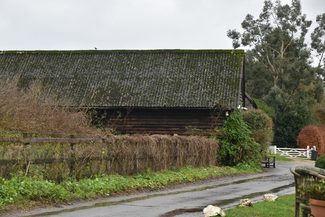
Betchworth Images
Images are sourced within 2km of 51.240645/-0.268657 or Grid Reference TQ2050. Thanks to Geograph Open Source API. All images are credited.


Betchworth is located at Grid Ref: TQ2050 (Lat: 51.240645, Lng: -0.268657)
Administrative County: Surrey
District: Mole Valley
Police Authority: Surrey
What 3 Words
///margin.grab.answer. Near Reigate, Surrey
Nearby Locations
Related Wikis
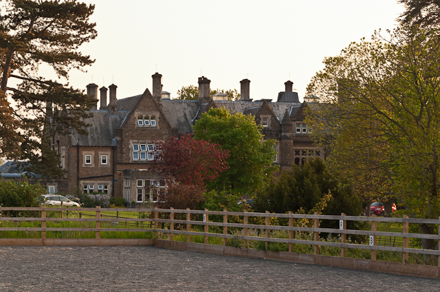
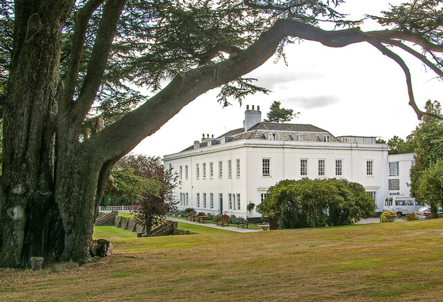
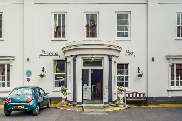
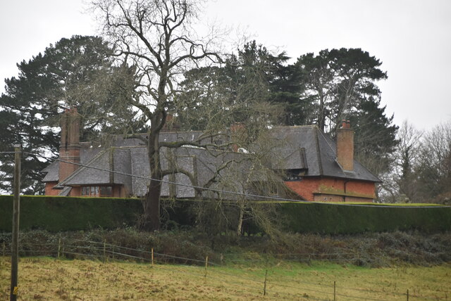
Hartsfield Manor
Hartsfield Manor is an early Victorian house of historical significance located in Betchworth, Surrey, England. It was built in the 1860s as a private...
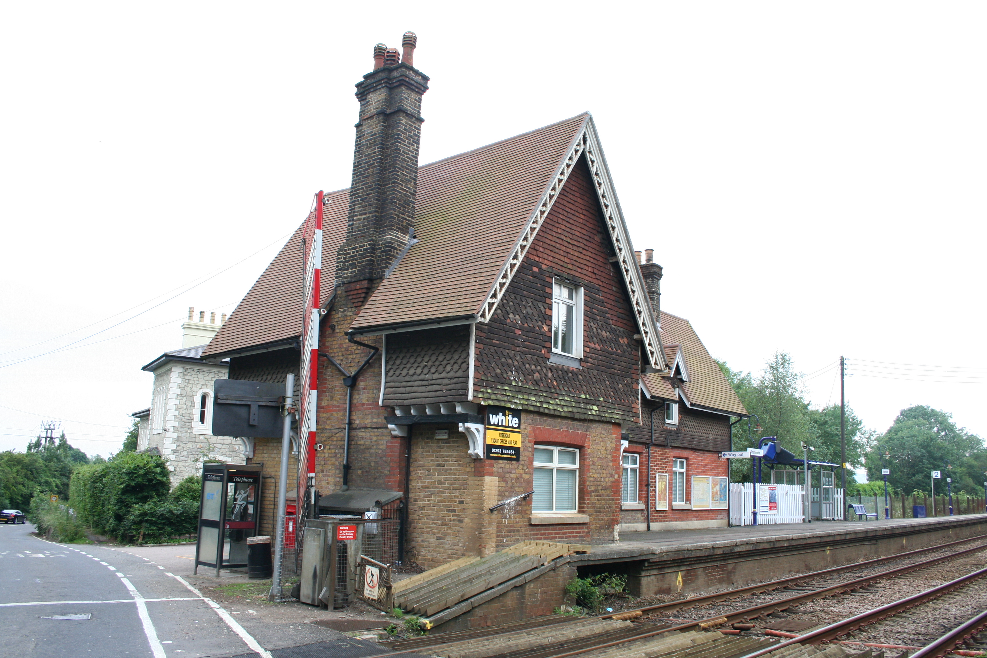
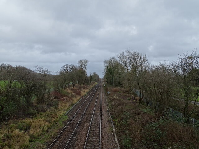
Betchworth railway station
Betchworth railway station serves the village of Betchworth in Surrey, England. It is on the North Downs Line, 27 miles 17 chains (27.21 miles, 43.79 km...

Betchworth
Betchworth is a village and civil parish in the Mole Valley district of Surrey, England. The village centre is on the north bank of the River Mole and...
Brockham Limeworks
Brockham Limeworks is a 45-hectare (110-acre) nature reserve north of Brockham in Surrey. It is owned by Surrey County Council. Part of it is a Scheduled...
Nearby Amenities
Located within 500m of 51.240645,-0.268657Have you been to Betchworth?
Leave your review of Betchworth below (or comments, questions and feedback).