Newton Underwood
Settlement in Northumberland
England
Newton Underwood

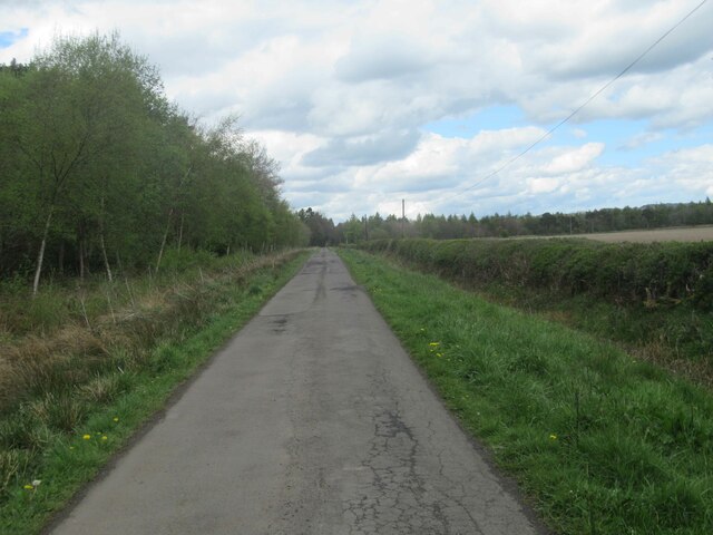
Newton Underwood is a small village located in Northumberland, a county in the northeast of England. Situated about 15 miles north of Newcastle upon Tyne, the village is nestled in a rural setting and surrounded by picturesque countryside.
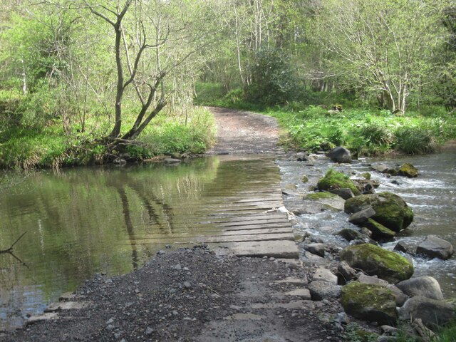
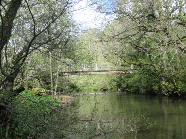
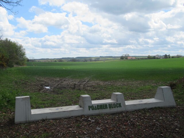
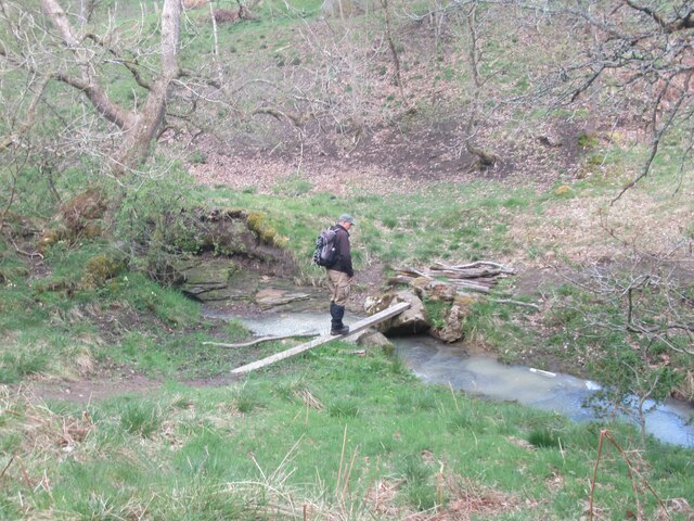
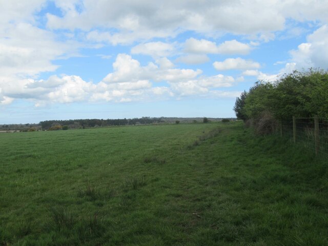
The village is known for its tranquility and natural beauty, with rolling hills, meandering streams, and lush green fields. The landscape offers a peaceful retreat for residents and visitors alike. The area is also home to a variety of wildlife, including birds, deer, and other small mammals.
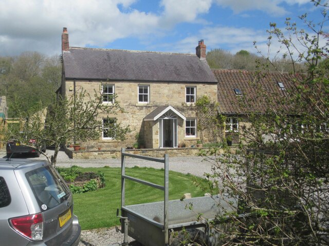
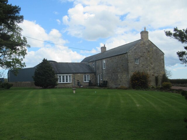
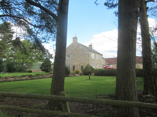
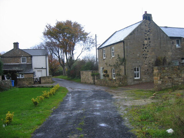
Historically, Newton Underwood has a rich heritage, dating back to medieval times. The village retains much of its original charm, with several traditional stone houses and buildings still standing. The local church, St. John the Baptist, is a notable landmark and a focal point for the community.
Although small in size, Newton Underwood has a strong sense of community spirit. The village has a close-knit population that actively participates in various social events and gatherings. The residents often come together to support local initiatives and maintain the village's unique character.
Despite its rural location, Newton Underwood benefits from its proximity to nearby towns and cities. The village offers a peaceful lifestyle while being conveniently located near amenities and transportation links. This makes it an attractive place for those seeking a harmonious balance between countryside living and urban accessibility.
In summary, Newton Underwood is a charming village in Northumberland that offers natural beauty, a rich history, and a strong sense of community. It is a place where residents and visitors can enjoy the tranquility of rural life while being within reach of larger towns and cities.
If you have any feedback on the listing, please let us know in the comments section below.
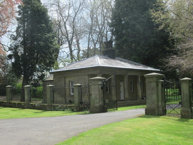
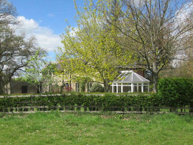
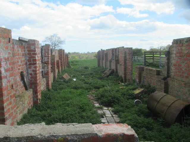
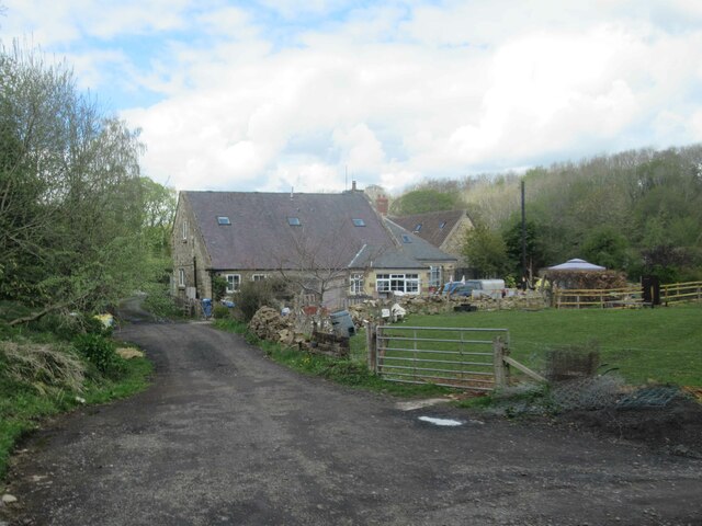
Newton Underwood Images
Images are sourced within 2km of 55.168842/-1.770767 or Grid Reference NZ1486. Thanks to Geograph Open Source API. All images are credited.


Newton Underwood is located at Grid Ref: NZ1486 (Lat: 55.168842, Lng: -1.770767)
Unitary Authority: Northumberland
Police Authority: Northumbria
What 3 Words
///accordion.guilty.again. Near Meldon, Northumberland
Nearby Locations
Related Wikis

Mitford Hall
Mitford Hall is a Georgian mansion house and Grade II* listed building standing in its own 85-acre (34 ha) park overlooking the River Wansbeck at Mitford...

Mitford Old Manor House
Mitford Old Manor House is an historic English manor house at Mitford, Northumberland, and is a Grade II* listed building. The Manor of Mitford was held...
Pigdon
Pigdon is a hamlet and former civil parish 3 miles (4.8 km) from Morpeth, now in the parish of Meldon, in the county of Northumberland, England. In 1951...
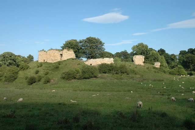
Mitford Castle
Mitford Castle is an English castle dating from the end of the 11th century and located at Mitford, Northumberland. It is a Scheduled Ancient Monument...
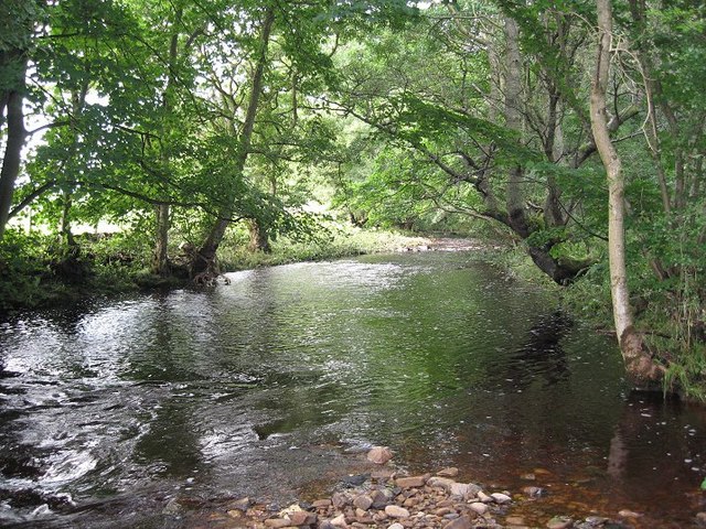
River Font
The River Font is a river that flows through Northumberland, England. The river is a tributary of the River Wansbeck which it joins at Mitford. == References... ==

Mitford, Northumberland
Mitford is a village in Northumberland, England, located 2 miles (3 km) west of Morpeth. == History == Although the foundation of Mitford is unknown, it...

Meldon, Northumberland
Meldon is a village in Northumberland, England. It lies to the west of Morpeth. The population of Meldon as taken at the 2001 Census was 162, increasing...

Stanton, Northumberland
Stanton is a small hamlet and former civil parish, now in the parish of Netherwitton, in Northumberland, England, which is located 7 miles (11 km) north...
Nearby Amenities
Located within 500m of 55.168842,-1.770767Have you been to Newton Underwood?
Leave your review of Newton Underwood below (or comments, questions and feedback).