Newton upon Derwent
Settlement in Yorkshire
England
Newton upon Derwent

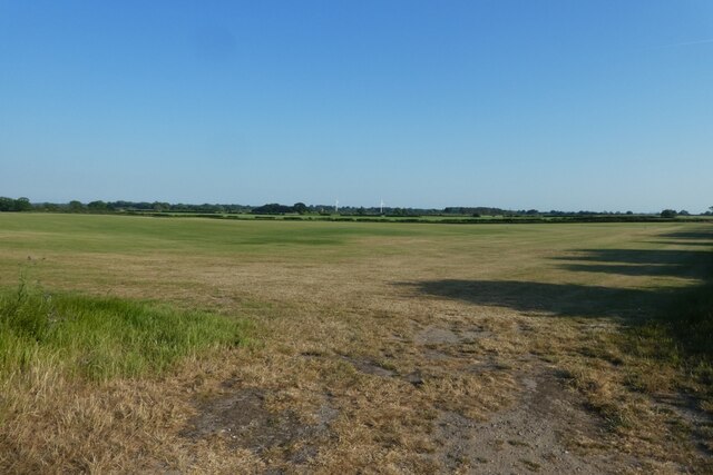
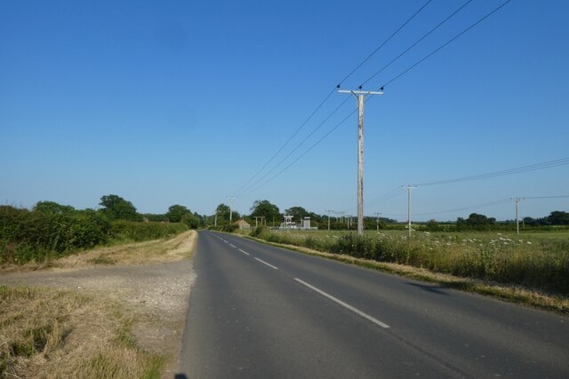
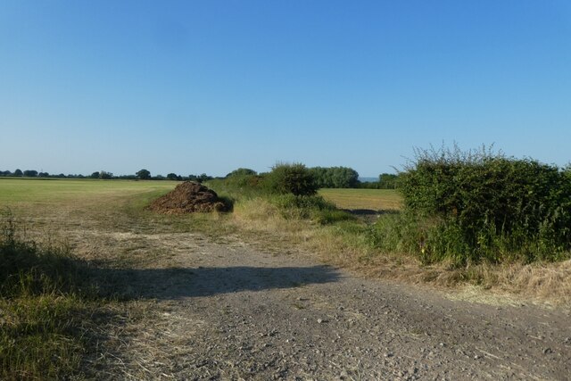
Newton upon Derwent is a small village located in the East Riding of Yorkshire, England. Situated on the banks of the River Derwent, it is part of the civil parish of Newton upon Derwent and Wilberfoss. The village is surrounded by picturesque countryside, offering residents and visitors a tranquil and scenic environment.
Historically, Newton upon Derwent has deep roots, with evidence of human habitation dating back to the Bronze Age. The village's name is derived from the Old English words "neowe" and "tun," meaning "new farmstead." Its proximity to the River Derwent has played a significant role in the village's development, as it provided a valuable resource for transport and trade in the past.
The village features a mix of architectural styles, with buildings ranging from traditional stone houses to more modern constructions. The local St. John's Church, built in the 19th century, stands as a prominent landmark in the village. Newton upon Derwent also boasts a village hall, which serves as a hub for community events and activities.
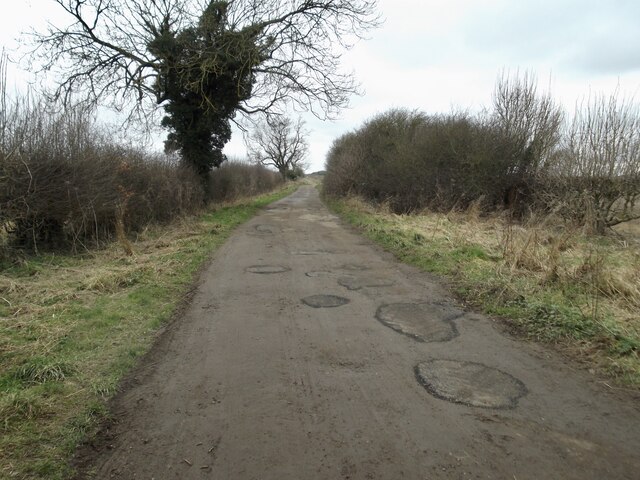
Nature enthusiasts can enjoy the beautiful surroundings, with several walking paths and trails offering opportunities for outdoor exploration. The nearby Derwent Ings Nature Reserve provides a haven for wildlife, attracting birdwatchers and nature lovers alike.
Although small in size, Newton upon Derwent benefits from its proximity to larger towns and cities. The village is conveniently located just a short drive from the city of York, offering residents access to a wide range of amenities, including shopping centers, restaurants, and cultural attractions.
Overall, Newton upon Derwent offers a peaceful and picturesque setting, making it an attractive place to live or visit for those seeking a rural retreat with convenient access to nearby urban centers.
If you have any feedback on the listing, please let us know in the comments section below.
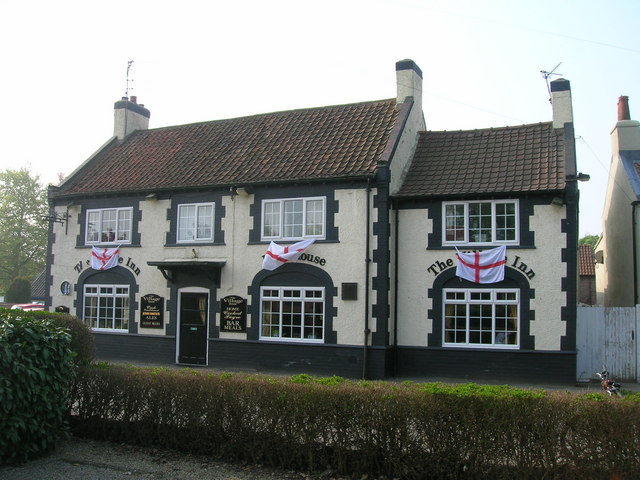
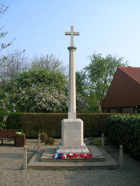
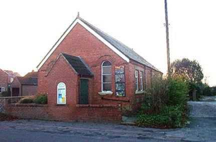
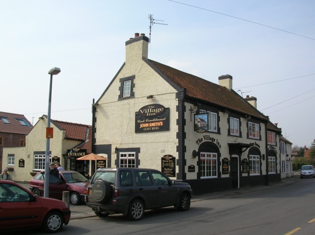
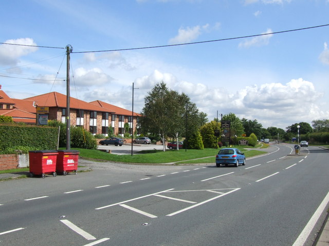
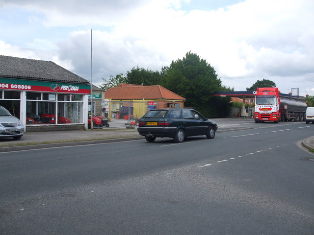
Newton upon Derwent Images
Images are sourced within 2km of 53.935927/-0.897902 or Grid Reference SE7249. Thanks to Geograph Open Source API. All images are credited.


Newton upon Derwent is located at Grid Ref: SE7249 (Lat: 53.935927, Lng: -0.897902)
Division: East Riding
Unitary Authority: East Riding of Yorkshire
Police Authority: Humberside
What 3 Words
///regularly.secure.litters. Near Wilberfoss, East Yorkshire
Nearby Locations
Related Wikis
Newton upon Derwent
Newton upon Derwent or Newton on Derwent is a village and civil parish in the East Riding of Yorkshire, England. It is situated approximately 5 miles...

Wilberfoss Priory
Wilberfoss Priory was a priory in the East Riding of Yorkshire, England. A house of Benedictine nuns was founded before 1153 by Alan de Cotton, who granted...
Wilberfoss
Wilberfoss is a village and civil parish in the East Riding of Yorkshire, England. It is situated on the north side of the A1079 approximately 8 miles...
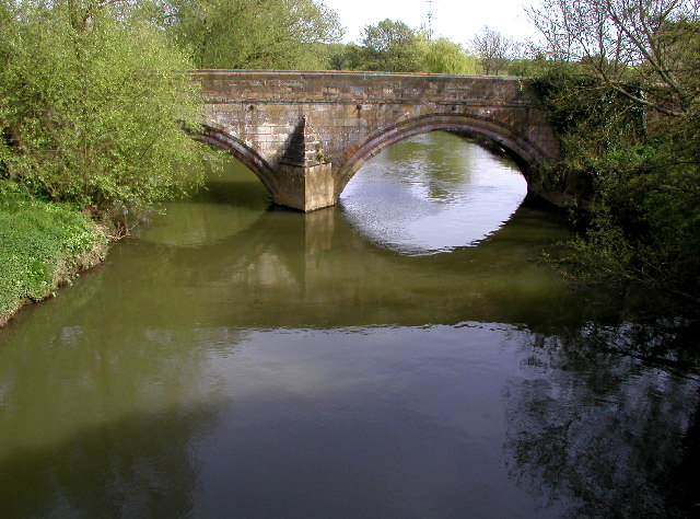
Kexby Old Bridge
Kexby Old Bridge is a historic bridge in Yorkshire, in England. The bridge crosses the River Derwent, linking Kexby in the City of York with Catton in...

Sutton Bridge, Yorkshire
Sutton Bridge is a historic bridge in Yorkshire, in England. The bridge crosses the River Derwent, linking Elvington in the City of York with Sutton-upon...
Kexby, North Yorkshire
Kexby is a village and civil parish in the unitary authority of the City of York in North Yorkshire, England. It lies on the River Derwent and on the A1079...
Elvington, North Yorkshire
Elvington is a village and civil parish in the City of York, lying approximately 7 miles (11 km) south-east of York, England, on the B1228 York-Howden...

Sutton upon Derwent
Sutton upon Derwent is a small village and civil parish on the River Derwent in the East Riding of Yorkshire, England, approximately 8 miles (13 km) to...
Nearby Amenities
Located within 500m of 53.935927,-0.897902Have you been to Newton upon Derwent?
Leave your review of Newton upon Derwent below (or comments, questions and feedback).