Coalhouse Wood
Wood, Forest in Northumberland
England
Coalhouse Wood

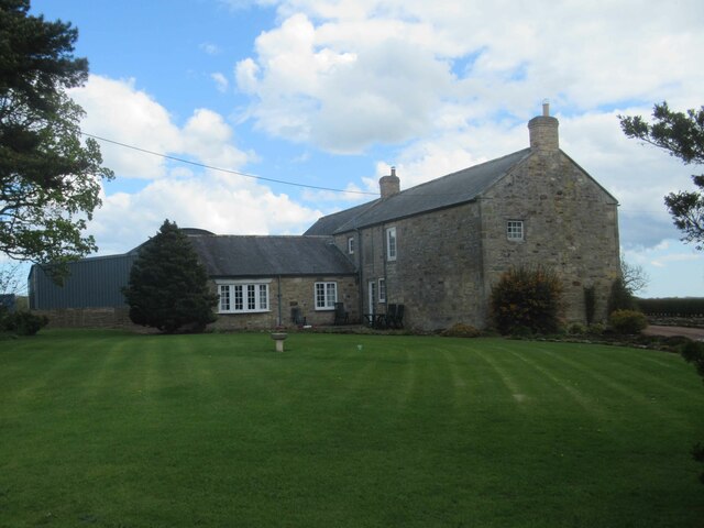
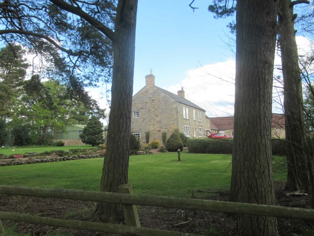
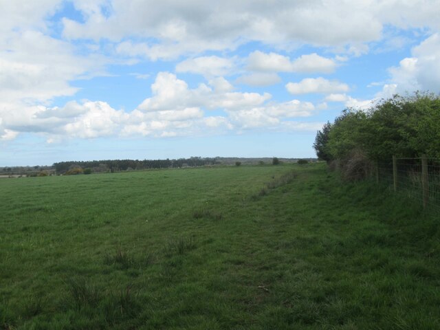
Coalhouse Wood is a picturesque woodland located in Northumberland, a county in the northeast of England. Spanning over 100 acres, this enchanting forest is renowned for its natural beauty and rich biodiversity. The wood is situated near the village of Warkworth, just a short distance from the Northumberland Coast Area of Outstanding Natural Beauty.
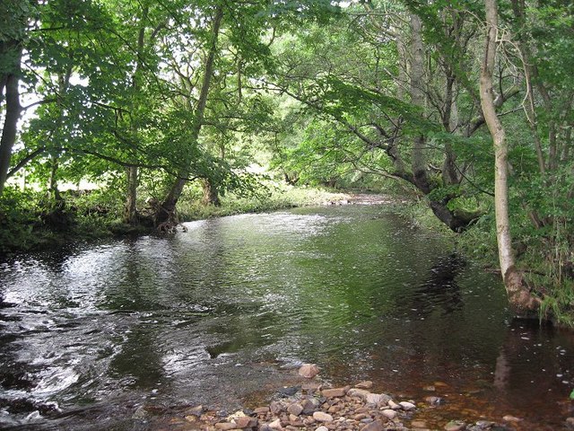
As visitors enter Coalhouse Wood, they are immediately captivated by the tranquility and serenity that envelops the area. The woodland is predominantly made up of mature broadleaf trees, including oak, beech, and birch, which create a dense canopy and provide a haven for a variety of wildlife. The forest floor is carpeted with an array of wildflowers and ferns, adding to the woodland's charm.
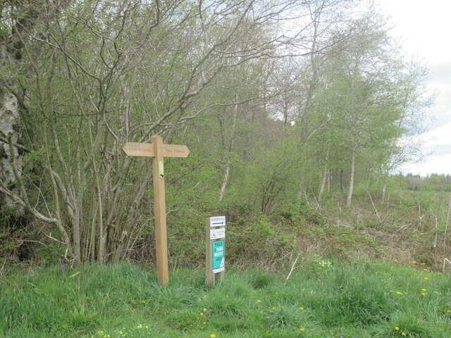
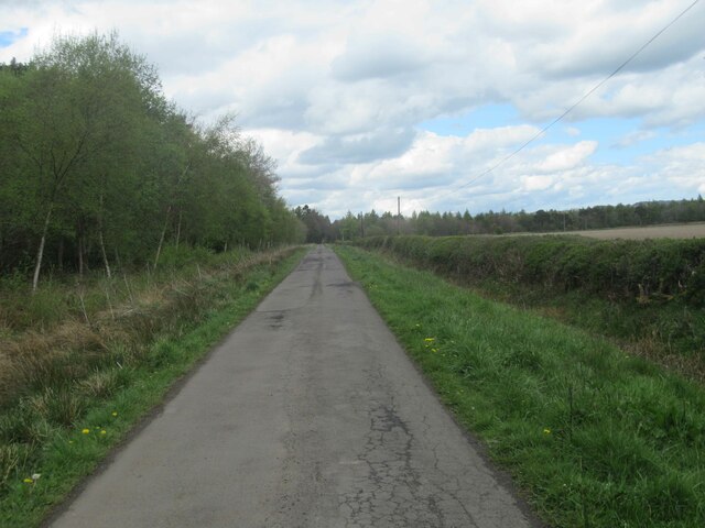
Numerous walking trails meander through the wood, allowing visitors to explore its hidden treasures at their own pace. These trails offer breathtaking views of the surrounding countryside, making Coalhouse Wood a popular destination for nature enthusiasts and hikers alike. The wood is also home to a diverse range of animal species, including deer, foxes, and a multitude of birdlife, making it a paradise for wildlife enthusiasts and photographers.
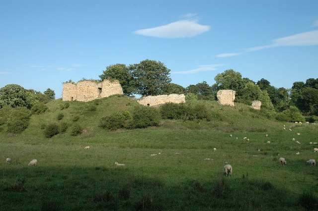
In addition to its natural beauty, Coalhouse Wood also plays a vital role in the preservation of Northumberland's history. The wood contains several ancient archaeological sites, including the remains of an Iron Age hillfort and a Roman settlement. These historical remnants add an element of intrigue and fascination to the already captivating woodland.
Overall, Coalhouse Wood is a hidden gem in Northumberland, offering visitors a chance to immerse themselves in nature, discover its rich history, and experience a sense of peace and tranquility that can only be found in such a serene environment.
If you have any feedback on the listing, please let us know in the comments section below.
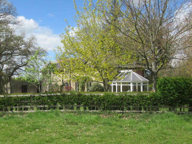
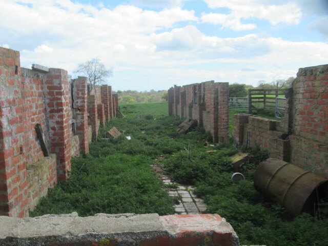
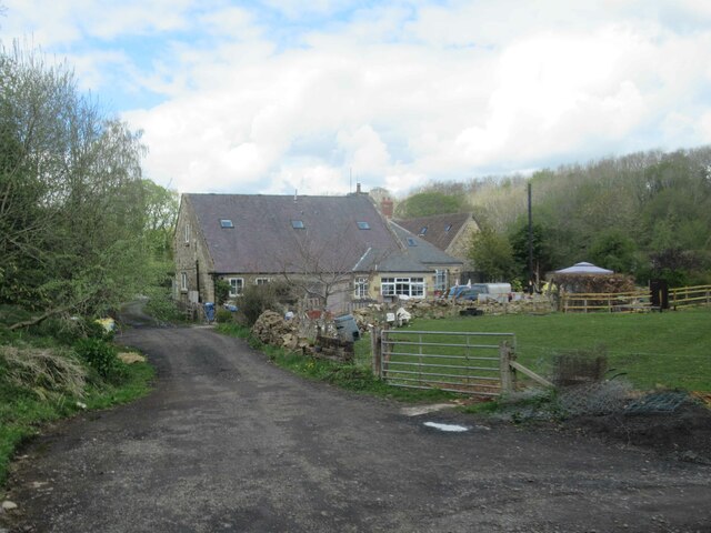
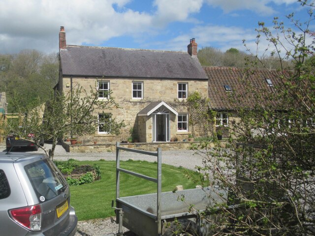
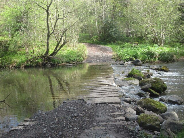
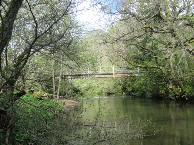
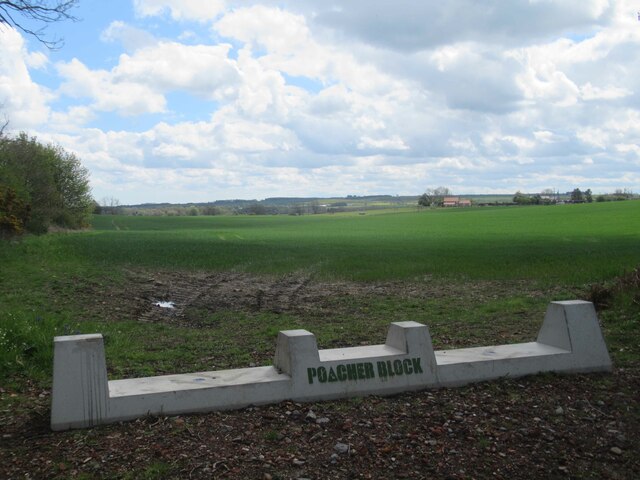
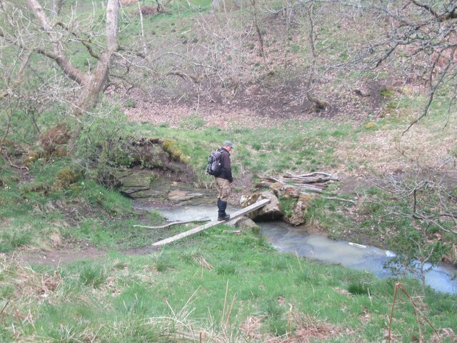
Coalhouse Wood Images
Images are sourced within 2km of 55.176179/-1.7725088 or Grid Reference NZ1486. Thanks to Geograph Open Source API. All images are credited.

Coalhouse Wood is located at Grid Ref: NZ1486 (Lat: 55.176179, Lng: -1.7725088)
Unitary Authority: Northumberland
Police Authority: Northumbria
What 3 Words
///students.actual.simulator. Near Hartburn, Northumberland
Nearby Locations
Related Wikis
Pigdon
Pigdon is a hamlet and former civil parish 3 miles (4.8 km) from Morpeth, now in the parish of Meldon, in the county of Northumberland, England. In 1951...

Mitford Hall
Mitford Hall is a Georgian mansion house and Grade II* listed building standing in its own 85-acre (34 ha) park overlooking the River Wansbeck at Mitford...

Mitford Old Manor House
Mitford Old Manor House is an historic English manor house at Mitford, Northumberland, and is a Grade II* listed building. The Manor of Mitford was held...
Mitford Castle
Mitford Castle is an English castle dating from the end of the 11th century and located at Mitford, Northumberland. It is a Scheduled Ancient Monument...

Stanton, Northumberland
Stanton is a small hamlet and former civil parish, now in the parish of Netherwitton, in Northumberland, England, which is located 7 miles (11 km) north...
River Font
The River Font is a river that flows through Northumberland, England. The river is a tributary of the River Wansbeck which it joins at Mitford. == References... ==

Mitford, Northumberland
Mitford is a village in Northumberland, England, located 2 miles (3 km) west of Morpeth. == History == Although the foundation of Mitford is unknown, it...

Meldon, Northumberland
Meldon is a village in Northumberland, England. It lies to the west of Morpeth. The population of Meldon as taken at the 2001 Census was 162, increasing...
Have you been to Coalhouse Wood?
Leave your review of Coalhouse Wood below (or comments, questions and feedback).