Shelly Green
Wood, Forest in Warwickshire
England
Shelly Green

Shelly Green is a charming and picturesque village located in the county of Warwickshire, England. Situated amidst the idyllic woodlands and forests of the region, the village offers a serene and tranquil setting for residents and visitors alike.
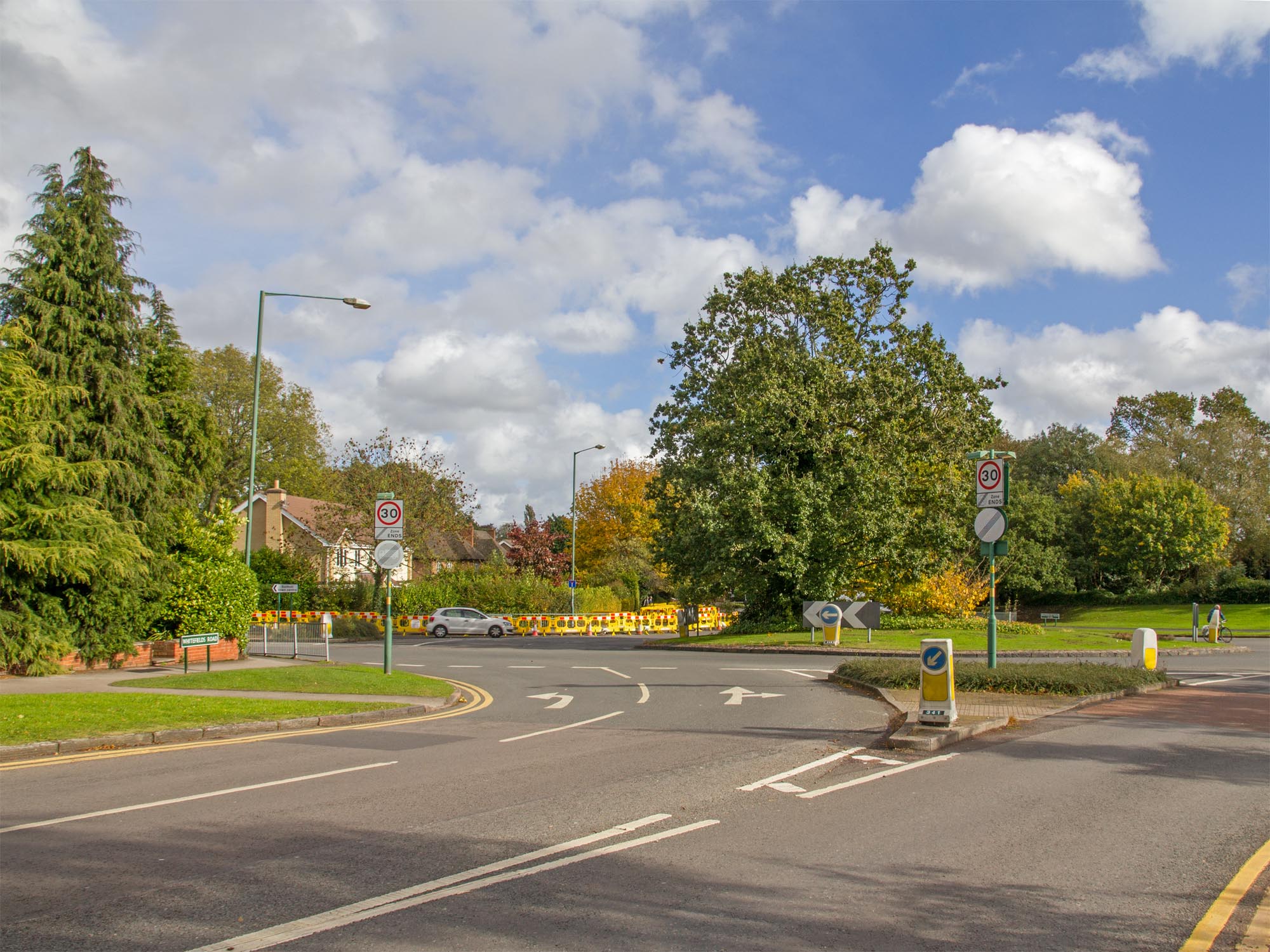
Surrounded by lush greenery, Shelly Green is known for its natural beauty and stunning landscapes. The village is home to a variety of trees, including oak, ash, and beech, which provide a vibrant display of colors throughout the seasons. This abundance of woodlands and forests makes the village a haven for nature enthusiasts, hikers, and wildlife lovers.
The village itself is small but full of character, with traditional stone cottages and quaint streets. There is a sense of community spirit that permeates through Shelly Green, with residents often gathering at the local pub or participating in village events and festivals. The village also boasts a primary school, a village hall, and a small church, which further contributes to its close-knit atmosphere.
For those seeking outdoor activities, Shelly Green offers numerous opportunities for exploration. The surrounding forests and woodlands are crisscrossed with walking and cycling trails, perfect for leisurely strolls or more adventurous outings. The village is also located near several nature reserves, providing ample opportunities for birdwatching and wildlife spotting.
Overall, Shelly Green, Warwickshire is a hidden gem nestled in the heart of nature. Its stunning woodlands, charming village atmosphere, and array of outdoor activities make it an ideal destination for those seeking tranquility and a connection with the natural world.
If you have any feedback on the listing, please let us know in the comments section below.
Shelly Green Images
Images are sourced within 2km of 52.387425/-1.7870941 or Grid Reference SP1476. Thanks to Geograph Open Source API. All images are credited.


Shelly Green is located at Grid Ref: SP1476 (Lat: 52.387425, Lng: -1.7870941)
Unitary Authority: Solihull
Police Authority: West Midlands
What 3 Words
///port.stone.anyone. Near Cheswick Green, West Midlands
Nearby Locations
Related Wikis

Shelly Green
Shelly Green is a settlement in the West Midlands conurbation, although it was not considered as such until the late 1990s. As of 2001 it had a population...
Monkspath Meadow
Monkspath Meadow is a 1.2 ha (3.0 acres) ancient hay-meadow and a biological site of Special Scientific Interest in the West Midlands. The site was notified...
Monkspath
Monkspath is a large residential community and light-industrial area of Solihull, West Midlands, England, southeast of the town's Shirley district (and...
Hillfield Park
Hillfield Park, Solihull, West Midlands is a community open space and play park in Monkspath, Solihull. It covers an area of over 2 acres (0.81 ha) and...
Monkspath Hall
Monkspath Hall was a two-storey Georgian country house in Monkspath, historically in Tanworth-in-Arden, Warwickshire (since 1974 part of Solihull, in the...
Widney Manor
Widney Manor is a suburb of Solihull in the West Midlands of England. The area is served by Widney Manor railway station, a golf course and health club...
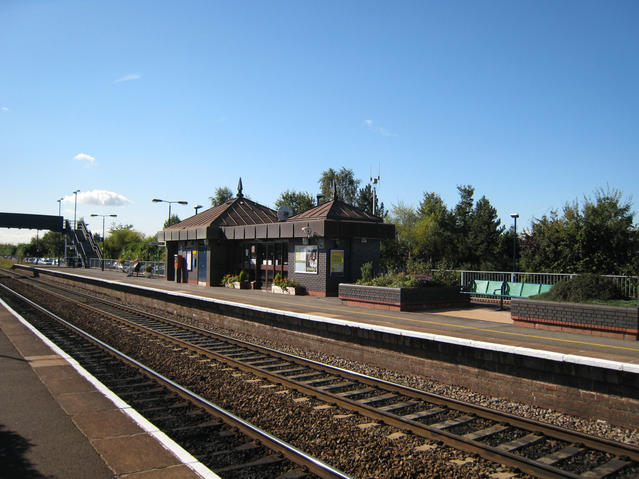
Widney Manor railway station
Widney Manor railway station serves the Widney Manor area of Solihull in the West Midlands of England. The station is served by West Midlands Trains (who...
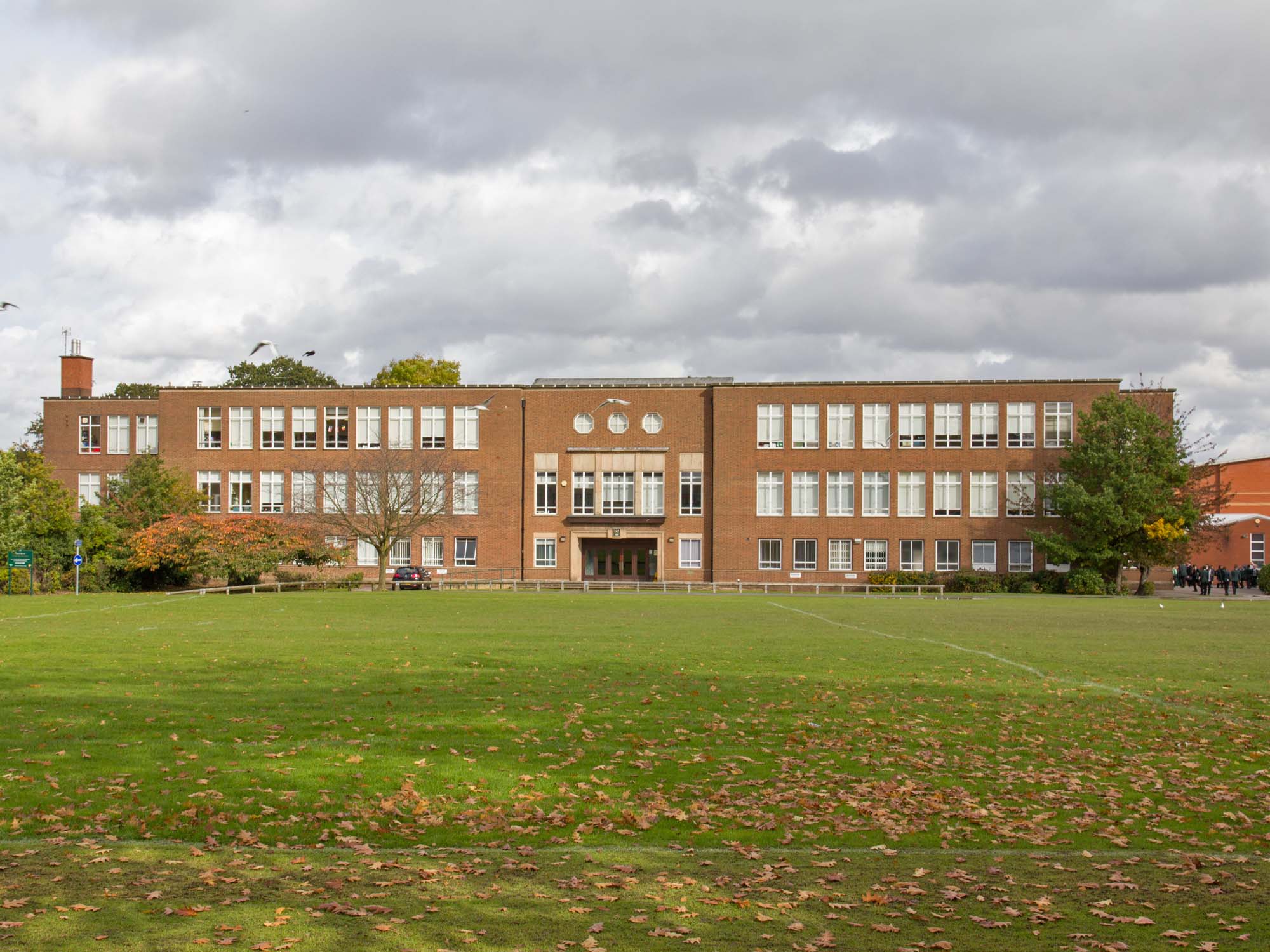
Tudor Grange Academy, Solihull
Tudor Grange Academy is a co-educational Academy and technology college located in Solihull, West Midlands, England. Formerly known as Tudor Grange Grammar...
Nearby Amenities
Located within 500m of 52.387425,-1.7870941Have you been to Shelly Green?
Leave your review of Shelly Green below (or comments, questions and feedback).