Elm Copse

Wood, Forest in Gloucestershire Cotswold

England

Elm Copse

Stone Stile, Quenington Off Mawley Road on Gloucestershire footpath BQU8 looking SW. The view looking NE is <a href="https://www.geograph.org.uk/photo/7069903">SP1404 : Stone Stile, Quenington</a>.
Stone Stile, Quenington Credit: Mr Red

Elm Copse is a picturesque woodland located in the county of Gloucestershire, England. Situated just a few miles outside the charming village of Gloucester, this beautiful copse is a hidden gem for nature enthusiasts and outdoor lovers alike.

Covering an area of approximately 50 acres, Elm Copse boasts a diverse range of flora and fauna, making it a haven for wildlife. The copse is primarily composed of elm trees, which lend its name, but also features a variety of other tree species such as oak, beech, and birch. The lush green canopy created by these trees provides shade and shelter, creating a tranquil and serene atmosphere for visitors.

Walking through Elm Copse, visitors can enjoy the tranquil sounds of birdsong, the rustling of leaves underfoot, and the occasional sighting of woodland creatures such as deer, squirrels, and rabbits. The forest floor is carpeted with a rich tapestry of wildflowers, including bluebells, primroses, and wood anemones, adding bursts of vibrant color to the landscape.

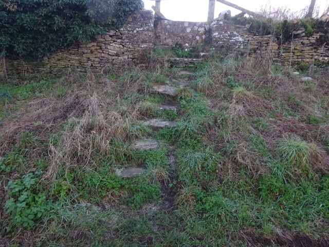
The copse is crisscrossed with a network of well-maintained footpaths, allowing visitors to explore its beauty at their own pace. These paths lead to secluded clearings, perfect for picnicking or simply taking a moment to soak in the natural surroundings. Elm Copse also offers opportunities for birdwatching and photography, with its diverse array of bird species and stunning vistas.

Overall, Elm Copse is a true testament to the natural beauty of Gloucestershire. Its lush woodland, diverse wildlife, and peaceful ambiance make it a must-visit destination for anyone seeking solace in nature.

If you have any feedback on the listing, please let us know in the comments section below.
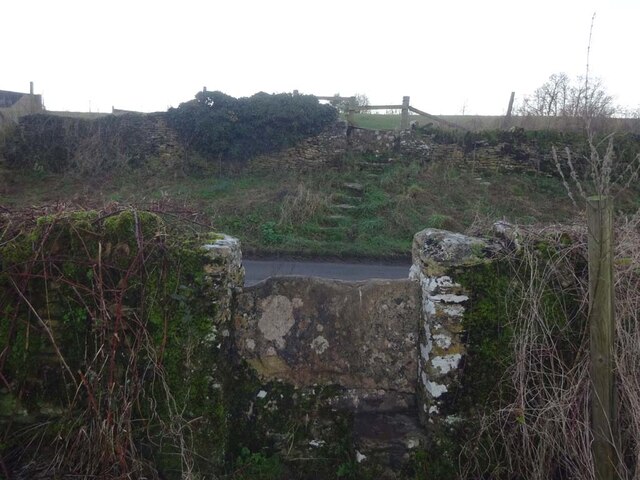
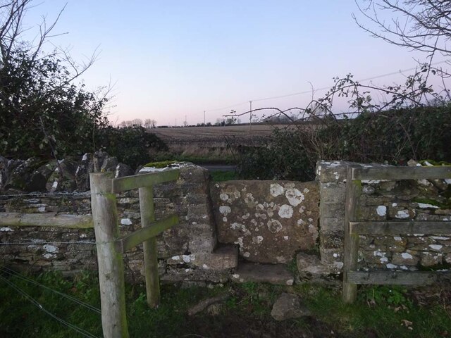
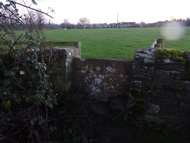
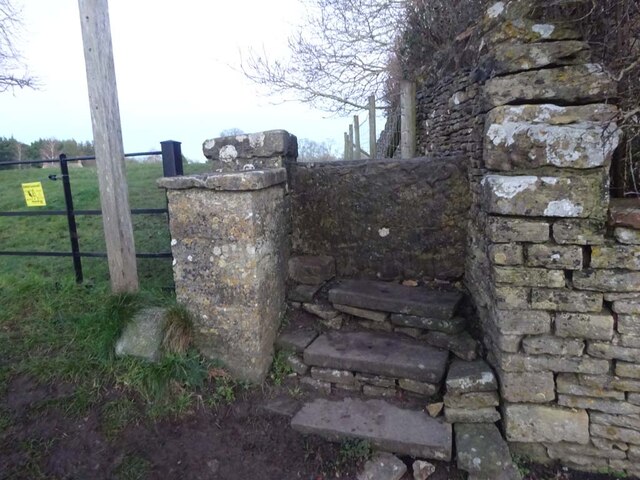
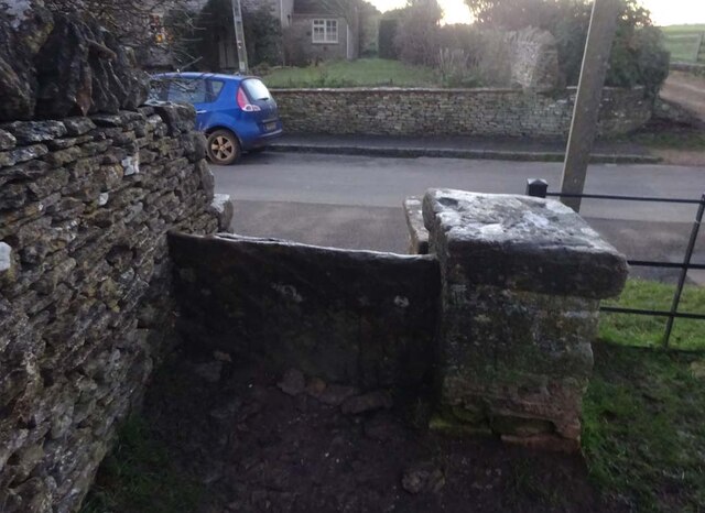
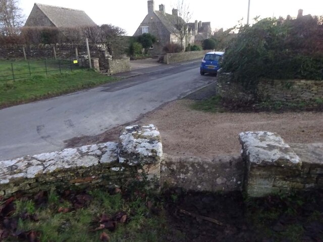
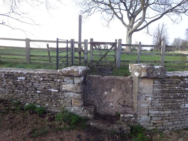
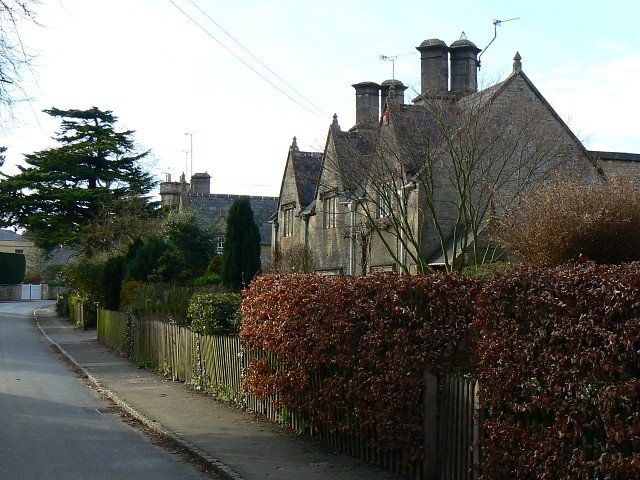
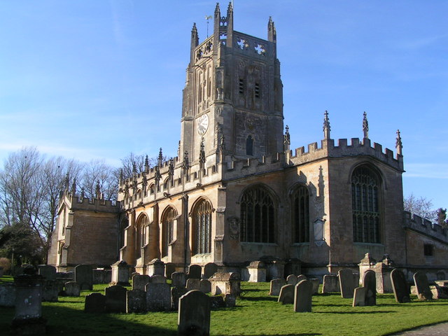
Elm Copse Images

Images are sourced within 2km of 51.732105/-1.7902411 or Grid Reference SP1403. Thanks to Geograph Open Source API. All images are credited.

Stone Stile, Quenington Off Mawley Road on Gloucestershire footpath BQU8 looking SW. The view looking NE is <a href="https://www.geograph.org.uk/photo/7069903">SP1404 : Stone Stile, Quenington</a>.
Stone Stile, Quenington
Off Mawley Road on Gloucestershire footpath BQU8 looking SW. The view looking NE is SP1404 : Stone Stile, Quenington.
Stone Stile, Quenington Off Mawley Road on Gloucestershire footpath BQU8 looking NE. The view looking SW is <a href="https://www.geograph.org.uk/photo/7069895">SP1404 : Stone Stile, Quenington</a>.
Stone Stile, Quenington
Off Mawley Road on Gloucestershire footpath BQU8 looking NE. The view looking SW is SP1404 : Stone Stile, Quenington.
Stone Stile, Quenington Looking NE to Victoria Road on Gloucestershire footpath BQU8. The view from the road is <a href="https://www.geograph.org.uk/photo/7069936">SP1404 : Stone Stile, Quenington</a>.
Stone Stile, Quenington
Looking NE to Victoria Road on Gloucestershire footpath BQU8. The view from the road is SP1404 : Stone Stile, Quenington.
Stone Stile, Quenington Looking SW from Victoria Road to Gloucestershire footpath BQU8. The view from the field is <a href="https://www.geograph.org.uk/photo/7069934">SP1404 : Stone Stile, Quenington</a>.
Stone Stile, Quenington
Looking SW from Victoria Road to Gloucestershire footpath BQU8. The view from the field is SP1404 : Stone Stile, Quenington.
Stone Stile, Quenington Of a u/c road on Gloucestershire footpath BQU10 across a flood meadow looking North from the field. The view looking South from the road is <a href="https://www.geograph.org.uk/photo/7070726">SP1404 : Stone Stile, Quenington</a>.
Stone Stile, Quenington
Of a u/c road on Gloucestershire footpath BQU10 across a flood meadow looking North from the field. The view looking South from the road is SP1404 : Stone Stile, Quenington.
Stone Stile, Quenington Off an u/c road on Gloucestershire footpath BQU10 across a flood meadow looking South. The view looking North is <a href="https://www.geograph.org.uk/photo/7070722">SP1404 : Stone Stile, Quenington</a>.
Stone Stile, Quenington
Off an u/c road on Gloucestershire footpath BQU10 across a flood meadow looking South. The view looking North is SP1404 : Stone Stile, Quenington.
Stone Stile, Quenington From Victoria Road looking NE to a flood meadow with Gloucestershire footpath BQU10 running diagonally left. The view looking SW is <a href="https://www.geograph.org.uk/photo/7070744">SP1404 : Stone Stile, Quenington</a>.
Stone Stile, Quenington
From Victoria Road looking NE to a flood meadow with Gloucestershire footpath BQU10 running diagonally left. The view looking SW is SP1404 : Stone Stile, Quenington.
Stone Stile, Quenington Looking SW from a flood meadow on Gloucestershire footpath BQU10 toward Victoria Road. The view looking NE is <a href="https://www.geograph.org.uk/photo/7070738">SP1404 : Stone Stile, Quenington</a>. The stile across the road is seen on <a title="https://www.geograph.org.uk/photo/7070763" href="https://www.geograph.org.uk/photo/7070763">Link</a> & <a title="https://www.geograph.org.uk/photo/7070738" href="https://www.geograph.org.uk/photo/7070738">Link</a>
Stone Stile, Quenington
Looking SW from a flood meadow on Gloucestershire footpath BQU10 toward Victoria Road. The view looking NE is SP1404 : Stone Stile, Quenington. The stile across the road is seen on Link & Link
Stone Stile, Quenington Looking NE across Victoria Road from Gloucestershire footpath BQU9. The view looking SW is <a href="https://www.geograph.org.uk/photo/7070768">SP1404 : Stone Stile, Quenington</a>. The stile on the other side of the road is seen on <a title="https://www.geograph.org.uk/photo/7070744" href="https://www.geograph.org.uk/photo/7070744">Link</a> & <a title="https://www.geograph.org.uk/photo/7070738" href="https://www.geograph.org.uk/photo/7070738">Link</a>.
Stone Stile, Quenington
Looking NE across Victoria Road from Gloucestershire footpath BQU9. The view looking SW is SP1404 : Stone Stile, Quenington. The stile on the other side of the road is seen on Link & Link.
Stone Stile, Quenington Looking SW from Victoria Road to Gloucestershire footpath BQU9. The view looking NE is <a href="https://www.geograph.org.uk/photo/7070763">SP1404 : Stone Stile, Quenington</a>.
Stone Stile, Quenington
Looking SW from Victoria Road to Gloucestershire footpath BQU9. The view looking NE is SP1404 : Stone Stile, Quenington.
Stone Stile, Coln St Aldwyns Looking SE from Gloucestershire footpath KCA3. The view from the road is <a href="https://www.geograph.org.uk/photo/7070804">SP1405 : Stone Stile, Coln St Aldwyns</a>.
Stone Stile, Coln St Aldwyns
Looking SE from Gloucestershire footpath KCA3. The view from the road is SP1405 : Stone Stile, Coln St Aldwyns.
Stone Stile, Coln St Aldwyns Looking NW to Gloucestershire footpath KCA3. The view to the road is <a href="https://www.geograph.org.uk/photo/7070802">SP1405 : Stone Stile, Coln St Aldwyns</a>.
Stone Stile, Coln St Aldwyns
Looking NW to Gloucestershire footpath KCA3. The view to the road is SP1405 : Stone Stile, Coln St Aldwyns.
Stone Stile, Coln St Aldwyns Looking North from the Salt Way to Gloucestershire footpath KCA2. The view looking South is <a href="https://www.geograph.org.uk/photo/7070817">SP1405 : Stone Stile, Coln St Aldwyns</a>.
Stone Stile, Coln St Aldwyns
Looking North from the Salt Way to Gloucestershire footpath KCA2. The view looking South is SP1405 : Stone Stile, Coln St Aldwyns.
Stone Stile, Coln St Aldwyns Looking South to the Salt Way from Gloucestershire footpath KCA2. The view looking North is <a href="https://www.geograph.org.uk/photo/7070813">SP1405 : Stone Stile, Coln St Aldwyns</a>.
Stone Stile, Coln St Aldwyns
Looking South to the Salt Way from Gloucestershire footpath KCA2. The view looking North is SP1405 : Stone Stile, Coln St Aldwyns.
Stone Stile, Coln St Aldwyns Looking East from the road to Bibury and Aldsworth to Gloucestershire footpath KCA3. The view looking West is <a href="https://www.geograph.org.uk/photo/7070825">SP1405 : Stone Stile, Coln St Aldwyns</a>.
Stone Stile, Coln St Aldwyns
Looking East from the road to Bibury and Aldsworth to Gloucestershire footpath KCA3. The view looking West is SP1405 : Stone Stile, Coln St Aldwyns.
Stone Stile, Coln St Aldwyns Looking West to the road to Bibury and Aldsworth from Gloucestershire footpath KCA3. The view looking East is <a href="https://www.geograph.org.uk/photo/7070824">SP1405 : Stone Stile, Coln St Aldwyns</a>.
Stone Stile, Coln St Aldwyns
Looking West to the road to Bibury and Aldsworth from Gloucestershire footpath KCA3. The view looking East is SP1405 : Stone Stile, Coln St Aldwyns.
Stone Stile, Coln St Aldwyns Looking NW to Gloucestershire footpath KCA2 at the entrance to a drive. The view looking SE is <a href="https://www.geograph.org.uk/photo/7070832">SP1405 : Stone Stile, Coln St Aldwyns</a>.
Stone Stile, Coln St Aldwyns
Looking NW to Gloucestershire footpath KCA2 at the entrance to a drive. The view looking SE is SP1405 : Stone Stile, Coln St Aldwyns.
Stone Stile, Coln St Aldwyns Looking SE from Gloucestershire footpath KCA2 at the entrance to a drive. The view looking NW is <a href="https://www.geograph.org.uk/photo/7070831">SP1405 : Stone Stile, Coln St Aldwyns</a>.
Stone Stile, Coln St Aldwyns
Looking SE from Gloucestershire footpath KCA2 at the entrance to a drive. The view looking NW is SP1405 : Stone Stile, Coln St Aldwyns.
Show me another place!

Elm Copse is located at Grid Ref: SP1403 (Lat: 51.732105, Lng: -1.7902411)

Administrative County: Gloucestershire

District: Cotswold

Police Authority: Gloucestershire

What 3 Words

///completed.winded.offshore. Near Fairford, Gloucestershire

Related Wikis

Quenington Preceptory

Quenington Preceptory was a preceptory of the Knights Hospitaller in Quenington, Gloucestershire, England. The manor of Quenington was given by Agnes de...

Quenington

Quenington is a nucleated village and larger rural civil parish in the Cotswold district of Gloucestershire, England, on the River Coln 8 miles (13 km...

Coln St. Aldwyns

Coln St. Aldwyns (sometimes Coln St. Aldwyn) is a village and civil parish in the Cotswold district of the English county of Gloucestershire. == History... ==

Hatherop

Hatherop is a village and civil parish in the Cotswolds Area of Outstanding Natural Beauty, about 2.5 miles (4.0 km) north of Fairford in Gloucestershire...

Farmor's School

Farmor's School is a secondary school with academy status in Fairford, Gloucestershire. Including the Sixth Form, the school currently has about 1,000...

Fairford Park

Fairford Park is a 4,200-acre (1,700 ha) estate in the southern Cotswolds in Gloucestershire, England, close to the small town of Fairford. Purchased by...

St Mary's Church, Fairford

St Mary's Church is a Church of England church in Fairford, Gloucestershire, England. It is notable for its complete set of 28 medieval stained-glass...

Fairford

Fairford is a market town in Gloucestershire, England. The town lies in the Cotswold hills on the River Coln, 6 miles (9.7 km) east of Cirencester, 4 miles...

Nearby Amenities

Located within 500m of 51.732105,-1.7902411
Quenington
Created By: Potlatch 0.10f
Place: village
Lat/Long: 51.735545/-1.786605
Public Bookcase
Booth: K6
Colour: red
Disused Amenity: telephone
Man Made: telephone_box
Public Bookcase Type: phone_box
Source: survey
Lat/Long: 51.736239/-1.7895577
Post Box
Brand: Royal Mail
Brand Wikidata: Q638098
Collection Times: Mo-Fr 17:00; Sa 11:30; Su off
Drive Through: no
Operator: Royal Mail
Operator Wikidata: Q638098
Post Box Type: wall
Ref: GL7 73
Royal Cypher: VR
Royal Cypher Wikidata: Q33102356
Source: survey
Lat/Long: 51.7362215/-1.7895592
The data included in this document is from www.openstreetmap.org. The data is made available under ODbL.

Have you been to Elm Copse?

Leave your review of Elm Copse below (or comments, questions and feedback).