Cherry Copse

Wood, Forest in Gloucestershire Cotswold

England

Cherry Copse

Stone Stile, Quenington Off Mawley Road on Gloucestershire footpath BQU8 looking SW. The view looking NE is <a href="https://www.geograph.org.uk/photo/7069903">SP1404 : Stone Stile, Quenington</a>.
Stone Stile, Quenington Credit: Mr Red

Cherry Copse is a picturesque woodland located in the county of Gloucestershire, England. Situated in the heart of the Cotswolds, this charming forest covers an area of approximately 50 acres. It is known for its dense growth of cherry trees, which give the copse its name and provide a stunning display of pink and white blossoms during the spring season.

The woodland is predominantly made up of deciduous trees, including oak, beech, and birch, which create a diverse and vibrant ecosystem. The forest floor is carpeted with a variety of wildflowers, such as bluebells and primroses, adding to the beauty of the surroundings.

Cherry Copse is a haven for wildlife, providing a habitat for numerous species. It is home to a variety of birds, including woodpeckers, robins, and owls, which can be heard singing and calling throughout the day. Small mammals, such as squirrels and rabbits, can also be spotted scurrying through the undergrowth.

The copse is a popular destination for nature enthusiasts and walkers, who enjoy exploring its tranquil pathways and taking in the natural beauty of the surroundings. There are several well-marked trails that wind through the woods, allowing visitors to discover the different aspects of the woodland.

Cherry Copse is open to the public year-round and offers a peaceful retreat from the hustle and bustle of everyday life. Whether you are looking for a quiet stroll, a spot for bird-watching, or simply a place to connect with nature, this enchanting forest in Gloucestershire is sure to captivate your senses.

If you have any feedback on the listing, please let us know in the comments section below.
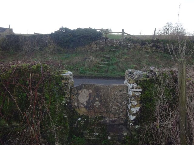
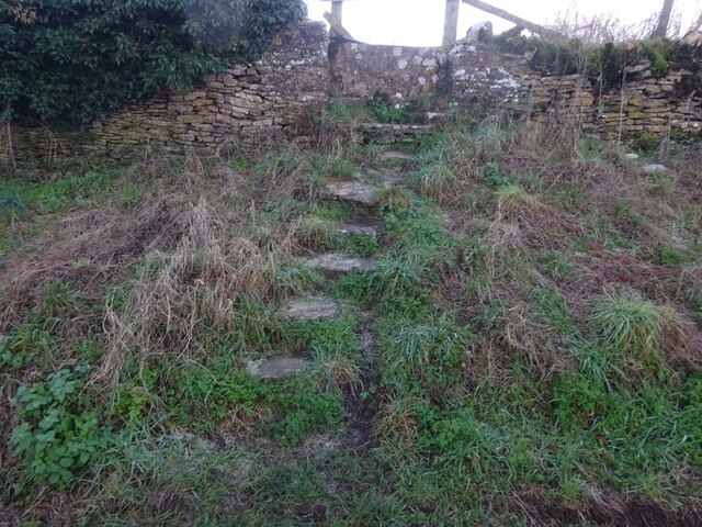
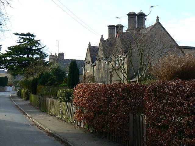
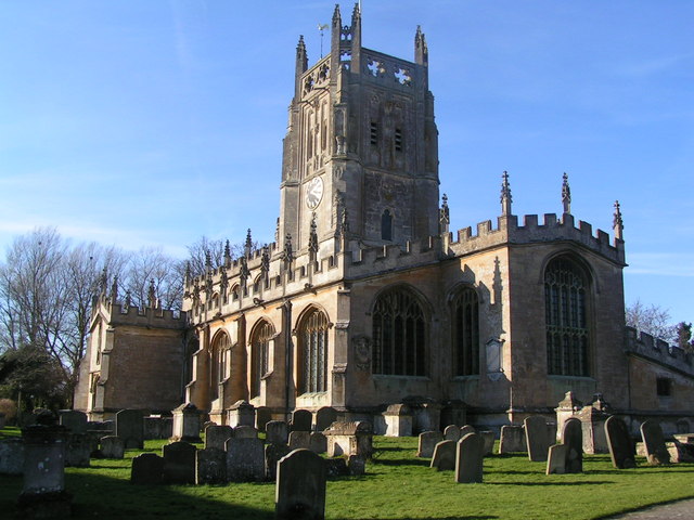
Cherry Copse Images

Images are sourced within 2km of 51.728521/-1.7872317 or Grid Reference SP1403. Thanks to Geograph Open Source API. All images are credited.

Stone Stile, Quenington Off Mawley Road on Gloucestershire footpath BQU8 looking SW. The view looking NE is <a href="https://www.geograph.org.uk/photo/7069903">SP1404 : Stone Stile, Quenington</a>.
Stone Stile, Quenington
Off Mawley Road on Gloucestershire footpath BQU8 looking SW. The view looking NE is SP1404 : Stone Stile, Quenington.
Stone Stile, Quenington Off Mawley Road on Gloucestershire footpath BQU8 looking NE. The view looking SW is <a href="https://www.geograph.org.uk/photo/7069895">SP1404 : Stone Stile, Quenington</a>.
Stone Stile, Quenington
Off Mawley Road on Gloucestershire footpath BQU8 looking NE. The view looking SW is SP1404 : Stone Stile, Quenington.
Stone Stile, Quenington Looking NE to Victoria Road on Gloucestershire footpath BQU8. The view from the road is <a href="https://www.geograph.org.uk/photo/7069936">SP1404 : Stone Stile, Quenington</a>.
Stone Stile, Quenington
Looking NE to Victoria Road on Gloucestershire footpath BQU8. The view from the road is SP1404 : Stone Stile, Quenington.
Stone Stile, Quenington Looking SW from Victoria Road to Gloucestershire footpath BQU8. The view from the field is <a href="https://www.geograph.org.uk/photo/7069934">SP1404 : Stone Stile, Quenington</a>.
Stone Stile, Quenington
Looking SW from Victoria Road to Gloucestershire footpath BQU8. The view from the field is SP1404 : Stone Stile, Quenington.
Stone Stile, Quenington Of a u/c road on Gloucestershire footpath BQU10 across a flood meadow looking North from the field. The view looking South from the road is <a href="https://www.geograph.org.uk/photo/7070726">SP1404 : Stone Stile, Quenington</a>.
Stone Stile, Quenington
Of a u/c road on Gloucestershire footpath BQU10 across a flood meadow looking North from the field. The view looking South from the road is SP1404 : Stone Stile, Quenington.
Stone Stile, Quenington Off an u/c road on Gloucestershire footpath BQU10 across a flood meadow looking South. The view looking North is <a href="https://www.geograph.org.uk/photo/7070722">SP1404 : Stone Stile, Quenington</a>.
Stone Stile, Quenington
Off an u/c road on Gloucestershire footpath BQU10 across a flood meadow looking South. The view looking North is SP1404 : Stone Stile, Quenington.
Stone Stile, Quenington From Victoria Road looking NE to a flood meadow with Gloucestershire footpath BQU10 running diagonally left. The view looking SW is <a href="https://www.geograph.org.uk/photo/7070744">SP1404 : Stone Stile, Quenington</a>.
Stone Stile, Quenington
From Victoria Road looking NE to a flood meadow with Gloucestershire footpath BQU10 running diagonally left. The view looking SW is SP1404 : Stone Stile, Quenington.
Stone Stile, Quenington Looking SW from a flood meadow on Gloucestershire footpath BQU10 toward Victoria Road. The view looking NE is <a href="https://www.geograph.org.uk/photo/7070738">SP1404 : Stone Stile, Quenington</a>. The stile across the road is seen on <a title="https://www.geograph.org.uk/photo/7070763" href="https://www.geograph.org.uk/photo/7070763">Link</a> & <a title="https://www.geograph.org.uk/photo/7070738" href="https://www.geograph.org.uk/photo/7070738">Link</a>
Stone Stile, Quenington
Looking SW from a flood meadow on Gloucestershire footpath BQU10 toward Victoria Road. The view looking NE is SP1404 : Stone Stile, Quenington. The stile across the road is seen on Link & Link
Stone Stile, Quenington Looking NE across Victoria Road from Gloucestershire footpath BQU9. The view looking SW is <a href="https://www.geograph.org.uk/photo/7070768">SP1404 : Stone Stile, Quenington</a>. The stile on the other side of the road is seen on <a title="https://www.geograph.org.uk/photo/7070744" href="https://www.geograph.org.uk/photo/7070744">Link</a> & <a title="https://www.geograph.org.uk/photo/7070738" href="https://www.geograph.org.uk/photo/7070738">Link</a>.
Stone Stile, Quenington
Looking NE across Victoria Road from Gloucestershire footpath BQU9. The view looking SW is SP1404 : Stone Stile, Quenington. The stile on the other side of the road is seen on Link & Link.
Stone Stile, Quenington Looking SW from Victoria Road to Gloucestershire footpath BQU9. The view looking NE is <a href="https://www.geograph.org.uk/photo/7070763">SP1404 : Stone Stile, Quenington</a>.
Stone Stile, Quenington
Looking SW from Victoria Road to Gloucestershire footpath BQU9. The view looking NE is SP1404 : Stone Stile, Quenington.
Stone Stile, Coln St Aldwyns Looking SE from Gloucestershire footpath KCA3. The view from the road is <a href="https://www.geograph.org.uk/photo/7070804">SP1405 : Stone Stile, Coln St Aldwyns</a>.
Stone Stile, Coln St Aldwyns
Looking SE from Gloucestershire footpath KCA3. The view from the road is SP1405 : Stone Stile, Coln St Aldwyns.
Stone Stile, Coln St Aldwyns Looking NW to Gloucestershire footpath KCA3. The view to the road is <a href="https://www.geograph.org.uk/photo/7070802">SP1405 : Stone Stile, Coln St Aldwyns</a>.
Stone Stile, Coln St Aldwyns
Looking NW to Gloucestershire footpath KCA3. The view to the road is SP1405 : Stone Stile, Coln St Aldwyns.
Stone Stile, Fairford At the Eastern end of the "Oxpens", now being used  recreationally. This stile was preserved, but is not on a registered footpath. Looking South  to Mill Street, the view North is <a href="https://www.geograph.org.uk/photo/7288656">SP1401 : Stone Stile, Fairford</a>.
Stone Stile, Fairford
At the Eastern end of the "Oxpens", now being used recreationally. This stile was preserved, but is not on a registered footpath. Looking South to Mill Street, the view North is SP1401 : Stone Stile, Fairford.
Stone Stile, Fairford At the Eastern end of the "Oxpens", now being used  recreationally. This stile was preserved, but is not on a registered footpath. Looking North, the view South to Mill Street is <a href="https://www.geograph.org.uk/photo/7288650">SP1401 : Stone Stile, Fairford</a>.
Stone Stile, Fairford
At the Eastern end of the "Oxpens", now being used recreationally. This stile was preserved, but is not on a registered footpath. Looking North, the view South to Mill Street is SP1401 : Stone Stile, Fairford.
Telephone Exchange, Coln St Aldwyns (1) Situated off Main Street GL7 5AN, this TE is built of Cotswold stone and has the code SSCAS. It provides telephone and broadband services to approximately 431 residential and 29 non-residential premises in Coln St Aldwyns, Hatherop, Quenington and the surrounding rural area.
Telephone Exchange, Coln St Aldwyns (1)
Situated off Main Street GL7 5AN, this TE is built of Cotswold stone and has the code SSCAS. It provides telephone and broadband services to approximately 431 residential and 29 non-residential premises in Coln St Aldwyns, Hatherop, Quenington and the surrounding rural area.
Telephone Exchange, Coln St Aldwyns (2) Situated off Main Street, this TE shows three opaque windows and a ventilation louvre, presumably to keep it air-cooled. The numbering range of this TE is (01285) 750xxx, the (01285) referring to the Cirencester group of thirteen TEs.
Telephone Exchange, Coln St Aldwyns (2)
Situated off Main Street, this TE shows three opaque windows and a ventilation louvre, presumably to keep it air-cooled. The numbering range of this TE is (01285) 750xxx, the (01285) referring to the Cirencester group of thirteen TEs.
Permissive Path Notice in Coln St Aldwyns This notice is on a gate leading into a field off Main Street. It has the following wording:

                                            PERMISSIVE PATH

                                  THE PUBLIC MAY WALK THIS
                               ROUTE BY KIND PERMISSION OF
                                           THE LANDOWNER

                         Please ensure gates are shut, dogs are kept on
                              leads and you pick up after your dog.
                                                   Thank you.

     Incidentally, Coln St Aldwyns gets its name from the River Coln which flows through the 
     village and St Aldwyn who is an Anglo-Saxon saint.
Permissive Path Notice in Coln St Aldwyns
This notice is on a gate leading into a field off Main Street. It has the following wording: PERMISSIVE PATH THE PUBLIC MAY WALK THIS ROUTE BY KIND PERMISSION OF THE LANDOWNER Please ensure gates are shut, dogs are kept on leads and you pick up after your dog. Thank you. Incidentally, Coln St Aldwyns gets its name from the River Coln which flows through the village and St Aldwyn who is an Anglo-Saxon saint.
Stone Stile, Quennington Not a public Right of Way but provided to give access to an electricity sub-station. Looking from Springfield Road, the view to the road is <a href="https://www.geograph.org.uk/photo/7464557">SP1404 : Stone Stile, Quennington</a>.
Stone Stile, Quennington
Not a public Right of Way but provided to give access to an electricity sub-station. Looking from Springfield Road, the view to the road is SP1404 : Stone Stile, Quennington.
Show me another place!

Cherry Copse is located at Grid Ref: SP1403 (Lat: 51.728521, Lng: -1.7872317)

Administrative County: Gloucestershire

District: Cotswold

Police Authority: Gloucestershire

What 3 Words

///lemmings.fake.champions. Near Fairford, Gloucestershire

Related Wikis

Quenington Preceptory

Quenington Preceptory was a preceptory of the Knights Hospitaller in Quenington, Gloucestershire, England. The manor of Quenington was given by Agnes de...

Quenington

Quenington is a nucleated village and larger rural civil parish in the Cotswold district of Gloucestershire, England, on the River Coln 8 miles (13 km...

Farmor's School

Farmor's School is a secondary school with academy status in Fairford, Gloucestershire. Including the Sixth Form, the school currently has about 1,000...

Fairford Park

Fairford Park is a 4,200-acre (1,700 ha) estate in the southern Cotswolds in Gloucestershire, England, close to the small town of Fairford. Purchased by...

Coln St. Aldwyns

Coln St. Aldwyns (sometimes Coln St. Aldwyn) is a village and civil parish in the Cotswold district of the English county of Gloucestershire. == History... ==

Hatherop

Hatherop is a village and civil parish in the Cotswolds Area of Outstanding Natural Beauty, about 2.5 miles (4.0 km) north of Fairford in Gloucestershire...

St Mary's Church, Fairford

St Mary's Church is a Church of England church in Fairford, Gloucestershire, England. It is notable for its complete set of 28 medieval stained-glass...

Fairford

Fairford is a market town in Gloucestershire, England. The town lies in the Cotswold hills on the River Coln, 6 miles (9.7 km) east of Cirencester, 4 miles...

Nearby Amenities

Located within 500m of 51.728521,-1.7872317
Votive Column Monument
Access: private
Historic: monument
Lat/Long: 51.7252214/-1.7828539
The data included in this document is from www.openstreetmap.org. The data is made available under ODbL.

Have you been to Cherry Copse?

Leave your review of Cherry Copse below (or comments, questions and feedback).