Berthengam

Settlement in Flintshire

Wales

Berthengam

Guidepost at road junction, Trelogan WHITFORD
HOLYWELL
GLANRAFON
Guidepost at road junction, Trelogan Credit: Meirion

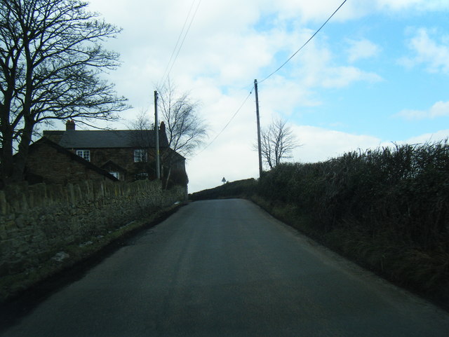
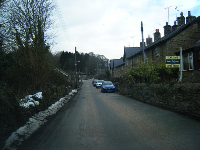
Berthengam is a quaint village located in the county of Flintshire, Wales. Situated in the northern part of the country, it lies close to the market town of Holywell and is surrounded by picturesque countryside. With a population of around 400 residents, Berthengam exudes a strong sense of community and offers a peaceful and idyllic setting for its inhabitants.

The village is known for its charming traditional Welsh architecture, with many houses boasting beautiful stone facades and thatched roofs. The local church, St. Michael's, is a prominent landmark, dating back to the 14th century and showcasing stunning stained glass windows and intricate woodwork.

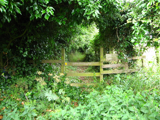
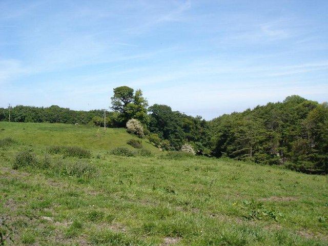
Berthengam benefits from its close proximity to the Wales Coast Path, offering residents and visitors the opportunity to explore the stunning coastal landscapes. The village also lies within easy reach of the Clwydian Range Area of Outstanding Natural Beauty, providing ample opportunities for outdoor activities such as hiking, cycling, and wildlife spotting.

Despite its small size, Berthengam has a strong community spirit and hosts various events throughout the year, including summer fairs and festive celebrations. The village is also home to a local pub, providing a gathering place for locals and visitors alike.

In terms of amenities, Berthengam benefits from its proximity to Holywell, which offers a wider range of facilities including shops, schools, and medical services. The village is well-connected with good road links, allowing for easy access to neighboring towns and cities.

Overall, Berthengam is a charming village that offers a tranquil and close-knit community, surrounded by breathtaking natural beauty and conveniently located for those seeking both rural and urban amenities.

If you have any feedback on the listing, please let us know in the comments section below.
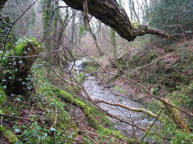
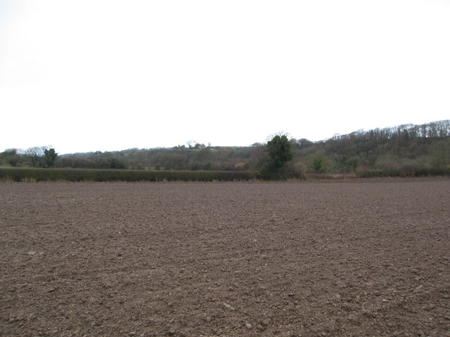
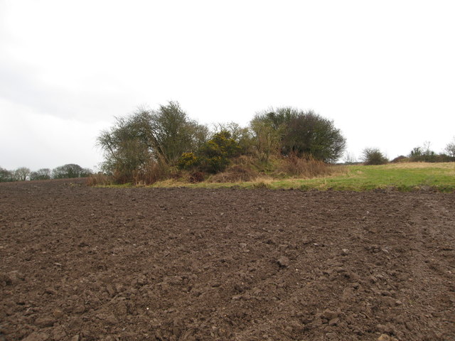
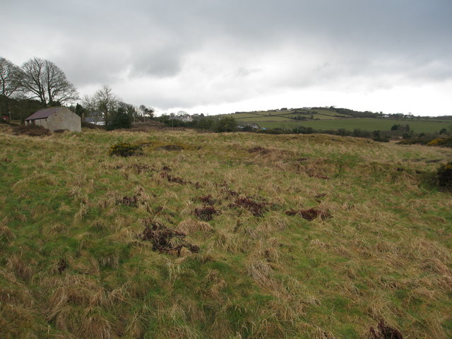
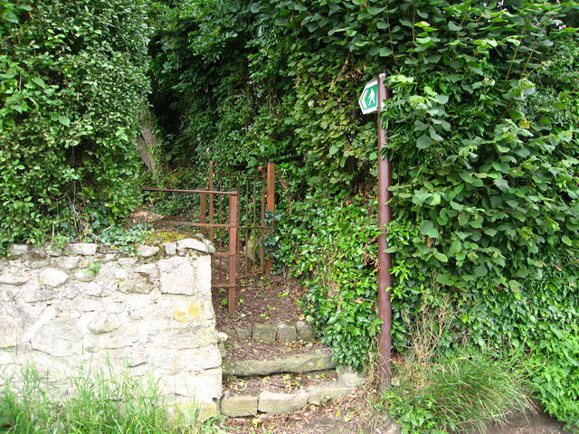
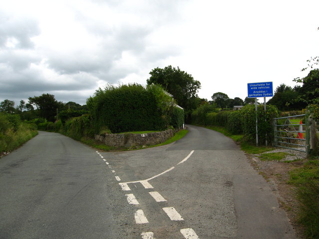
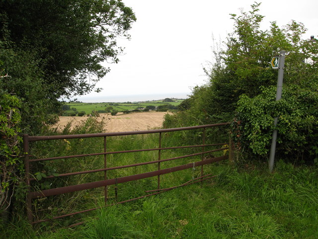
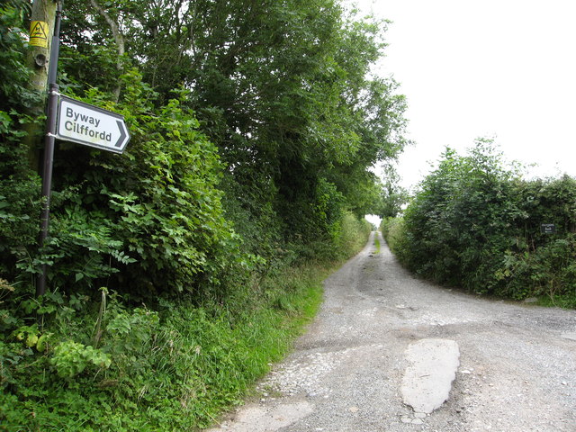
Berthengam Images

Images are sourced within 2km of 53.308232/-3.323238 or Grid Reference SJ1179. Thanks to Geograph Open Source API. All images are credited.

Guidepost at road junction, Trelogan WHITFORD
HOLYWELL
GLANRAFON
Guidepost at road junction, Trelogan
WHITFORD HOLYWELL GLANRAFON
Damaged benchmark on derelict building, Trelogan For more details see: <span class="nowrap"><a title="https://www.bench-marks.org.uk/bm180728" rel="nofollow ugc noopener" href="https://www.bench-marks.org.uk/bm180728">Link</a><img style="margin-left:2px;" alt="External link" title="External link - shift click to open in new window" src="https://s1.geograph.org.uk/img/external.png" width="10" height="10"/></span>
Damaged benchmark on derelict building, Trelogan
For more details see: LinkExternal link
Maen Achwyfan Wheel Cross
Afon-y-Garth in Coed-y-Garth Wood This river runs through delightful ancient woodland owned and managed by the Woodland Trust.  Nearby is a stone lined adit dating back to 1780 - driven to drain water from the former Trelogan lead mine.
Afon-y-Garth in Coed-y-Garth Wood
This river runs through delightful ancient woodland owned and managed by the Woodland Trust. Nearby is a stone lined adit dating back to 1780 - driven to drain water from the former Trelogan lead mine.
Ploughed field McWalters'Dingle to Right and Gyrn Dingle centre/left
Ploughed field
McWalters'Dingle to Right and Gyrn Dingle centre/left
Disused Mineshaft A bit of the field that the farmer cannot plough - this mound hides a mineshaft from the former Trelogan lead and zinc mine which operated from the 18th until the early 20th century.
Disused Mineshaft
A bit of the field that the farmer cannot plough - this mound hides a mineshaft from the former Trelogan lead and zinc mine which operated from the 18th until the early 20th century.
Fields north of Trelogan Whilst the field in the forefront is not currently in agricultural use, it contrasts with the remainder of the land seen.
Fields north of Trelogan
Whilst the field in the forefront is not currently in agricultural use, it contrasts with the remainder of the land seen.
Fields surrounding Trelogan Farm and Berth-y-Maen
Footpath through agricultural land surrounding Wern Farm
Cross roads in Glan-yr-Afon Facing east up the road to Pen-y-ffordd
Cross roads in Glan-yr-Afon
Facing east up the road to Pen-y-ffordd
Rhewl-fawr Road looking west
Glan-yr-afon village
Footpath leading to Axton Lane
Welsh Water Service Reservoir at Axton
Kissing gate for footpath to Axton From the Llanasa - Trelogan road
Kissing gate for footpath to Axton
From the Llanasa - Trelogan road
Junction on the road from Llanasa Left towards Trelogan and right to Axton
Junction on the road from Llanasa
Left towards Trelogan and right to Axton
Footpath across fields to Llanasa You can see the North Sea in the distance from this spot
Footpath across fields to Llanasa
You can see the North Sea in the distance from this spot
Byway towards Tyddyn Uchaf
Show me another place!

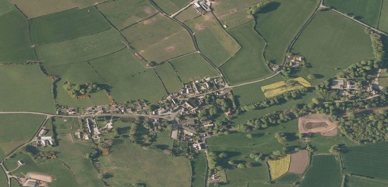
Berthengam is located at Grid Ref: SJ1179 (Lat: 53.308232, Lng: -3.323238)

Unitary Authority: Flintshire

Police Authority: North Wales

What 3 Words

///evidence.refrained.wiser. Near Mostyn, Flintshire

Nearby Locations

Sarn Berthengam

Related Wikis

Trelogan

Trelogan is a village in Flintshire, north east Wales. It is located between Mostyn and Trelawnyd and is almost contiguous with Berthengam. Trelogan had...
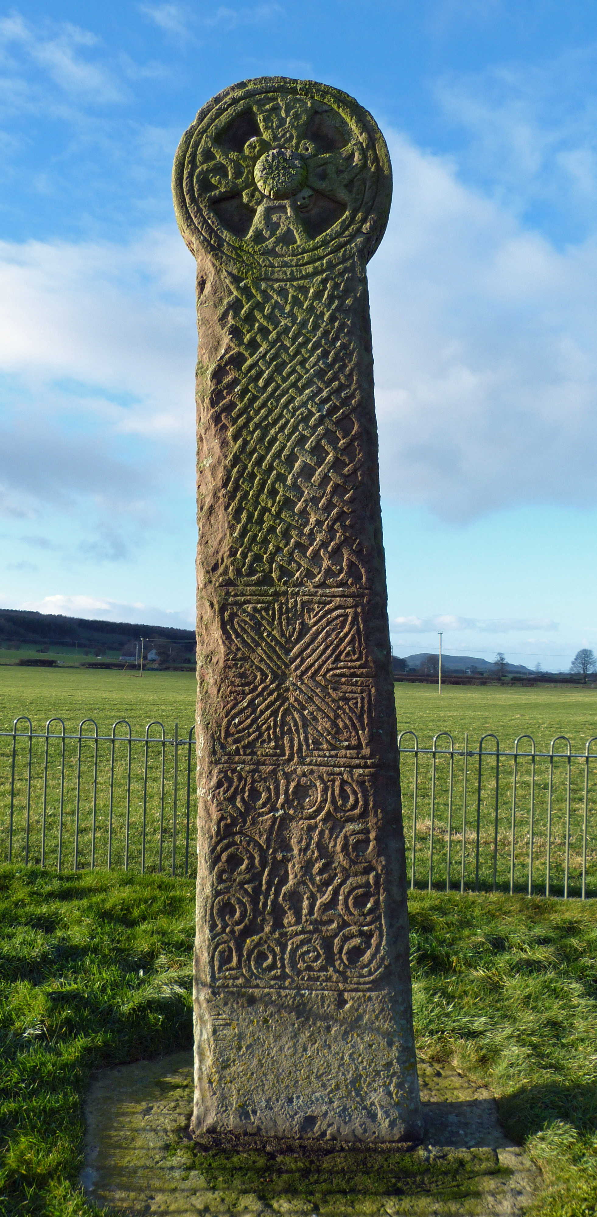
Maen Achwyfan Cross

Maen Achwyfan Cross (Welsh: Maen Achwyfan, Croes Maen Achwyfan), located near the village of Whitford, Flintshire, Wales, is a high cross dating from the...
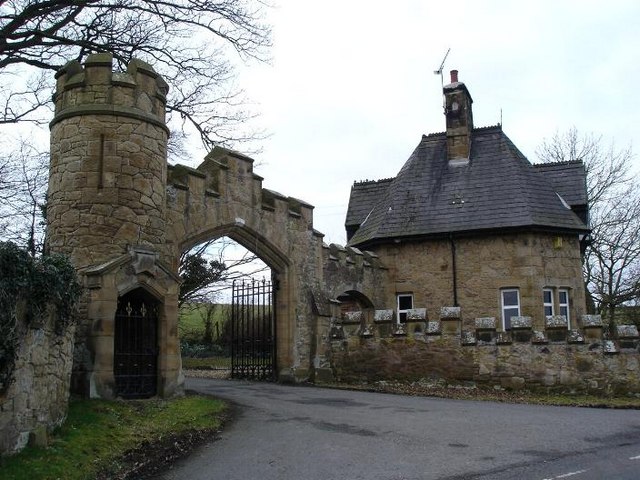
Gyrn Castle

Gyrn Castle is a Grade II-listed castellated mansion in Llanasa in Flintshire. == History == It was built between 1817 and 1824 by John Douglas, who incorporated...

Llanasa

Llanasa is a village and community in the county of Flintshire, north-east Wales. Llanasa is described as one of the ancient parishes of Flintshire. It...

Nearby Amenities

Located within 500m of 53.308232,-3.323238
Trelogan
Is In: Flintshire
Place: village
Wikidata: Q7838021
Lat/Long: 53.3110666/-3.3273927
Berthengam
Place: village
Wikidata: Q107032211
Lat/Long: 53.3063328/-3.3246624
Public Building
Community Centre
Lat/Long: 53.308651/-3.3235495
Ele: 192.3
Source: OS
Lat/Long: 53.308797/-3.324708
Power: pole
Lat/Long: 53.3076269/-3.3163397
Power: pole
Lat/Long: 53.3084505/-3.3170307
Power: pole
Lat/Long: 53.3095595/-3.3179637
Power: pole
Lat/Long: 53.3104059/-3.3186992
Power: pole
Lat/Long: 53.311155/-3.3193286
Power: pole
Lat/Long: 53.3123116/-3.3216078
Power: pole
Lat/Long: 53.3114955/-3.3214065
Power: pole
Lat/Long: 53.3109534/-3.3212844
Power: pole
Lat/Long: 53.3104843/-3.3211723
Power: pole
Lat/Long: 53.309479/-3.3212152
Power: pole
Lat/Long: 53.3085426/-3.3212778
Power: pole
Lat/Long: 53.307005/-3.3213801
Power: pole
Lat/Long: 53.3060824/-3.3214461
Power: pole
Lat/Long: 53.3051351/-3.3215022
Power: pole
Lat/Long: 53.3043648/-3.3215584
Power: pole
Lat/Long: 53.3079383/-3.321318
Berthen-gam Round Barrow B
Historic: archaeological_site
Historic Civilization: prehistoric
Lat/Long: 53.3071104/-3.319362
Berthen-gam Round Barrow A
Historic: archaeological_site
Lat/Long: 53.3068021/-3.3199807
Archaeological Site: earthwork
Historic: archaeological_site
Historic Civilization: prehistoric
Lat/Long: 53.3066052/-3.3185008
Power: pole
Lat/Long: 53.311694/-3.3261061
Power: pole
Lat/Long: 53.3116911/-3.325349
Power: pole
Lat/Long: 53.3116888/-3.3246017
Barrier: cycle_barrier
Lat/Long: 53.3091094/-3.3269019
Direction: 125
Generator Method: photovoltaic
Generator Output Electricity: yes
Generator Solar Modules: 4
Generator Source: solar
Generator Type: solar_photovoltaic_panel
Location: roof
Power: generator
Lat/Long: 53.3102168/-3.3257964
Direction: 170
Generator Method: photovoltaic
Generator Output Electricity: yes
Generator Solar Modules: 10
Generator Source: solar
Generator Type: solar_photovoltaic_panel
Location: roof
Power: generator
Lat/Long: 53.3056132/-3.3272159
Direction: 260
Generator Method: photovoltaic
Generator Output Electricity: yes
Generator Solar Modules: 6
Generator Source: solar
Generator Type: solar_photovoltaic_panel
Location: roof
Power: generator
Lat/Long: 53.3055811/-3.3271381
Direction: SSW
Generator Method: photovoltaic
Generator Output Electricity: yes
Generator Solar Modules: 16
Generator Source: solar
Generator Type: solar_photovoltaic_panel
Location: roof
Power: generator
Lat/Long: 53.3057334/-3.32516
Direction: SW
Generator Method: photovoltaic
Generator Output Electricity: yes
Generator Solar Modules: 17
Generator Source: solar
Generator Type: solar_photovoltaic_panel
Location: roof
Power: generator
Lat/Long: 53.3094288/-3.3248334
Direction: 215
Generator Method: photovoltaic
Generator Output Electricity: yes
Generator Solar Modules: 14
Generator Source: solar
Generator Type: solar_photovoltaic_panel
Location: roof
Power: generator
Lat/Long: 53.3093634/-3.3240831
Direction: 215
Generator Method: photovoltaic
Generator Output Electricity: yes
Generator Solar Modules: 14
Generator Source: solar
Generator Type: solar_photovoltaic_panel
Location: roof
Power: generator
Lat/Long: 53.3094031/-3.3241797
Direction: 125
Generator Method: photovoltaic
Generator Output Electricity: yes
Generator Solar Modules: 14
Generator Source: solar
Generator Type: solar_photovoltaic_panel
Location: roof
Power: generator
Lat/Long: 53.3093162/-3.3244385
Direction: 125
Generator Method: photovoltaic
Generator Output Electricity: yes
Generator Solar Modules: 13
Generator Source: solar
Generator Type: solar_photovoltaic_panel
Location: roof
Power: generator
Lat/Long: 53.3092609/-3.3245096
Direction: 125
Generator Method: photovoltaic
Generator Output Electricity: yes
Generator Solar Modules: 13
Generator Source: solar
Generator Type: solar_photovoltaic_panel
Location: roof
Power: generator
Lat/Long: 53.3091904/-3.3245873
Direction: 125
Generator Method: photovoltaic
Generator Output Electricity: yes
Generator Solar Modules: 13
Generator Source: solar
Generator Type: solar_photovoltaic_panel
Location: roof
Power: generator
Lat/Long: 53.3091263/-3.3246624
Direction: 215
Generator Method: photovoltaic
Generator Output Electricity: yes
Generator Solar Modules: 14
Generator Source: solar
Generator Type: solar_photovoltaic_panel
Location: roof
Power: generator
Lat/Long: 53.3090746/-3.3241066
Direction: 125
Generator Method: photovoltaic
Generator Output Electricity: yes
Generator Solar Modules: 14
Generator Source: solar
Generator Type: solar_photovoltaic_panel
Location: roof
Power: generator
Lat/Long: 53.3088506/-3.3243996
Direction: 125
Generator Method: photovoltaic
Generator Output Electricity: yes
Generator Solar Modules: 14
Generator Source: solar
Generator Type: solar_photovoltaic_panel
Location: roof
Power: generator
Lat/Long: 53.3089211/-3.3243245
Direction: 125
Generator Method: photovoltaic
Generator Output Electricity: yes
Generator Solar Modules: 14
Generator Source: solar
Generator Type: solar_photovoltaic_panel
Location: roof
Power: generator
Lat/Long: 53.3089804/-3.3242601
Direction: SSE
Generator Method: photovoltaic
Generator Output Electricity: yes
Generator Solar Modules: 10
Generator Source: solar
Generator Type: solar_photovoltaic_panel
Location: roof
Power: generator
Lat/Long: 53.3105129/-3.3265916
Direction: 125
Generator Method: photovoltaic
Generator Output Electricity: yes
Generator Solar Modules: 12
Generator Source: solar
Generator Type: solar_photovoltaic_panel
Location: roof
Power: generator
Lat/Long: 53.3101615/-3.325848
Direction: 145
Generator Method: photovoltaic
Generator Output Electricity: yes
Generator Solar Modules: 16
Generator Source: solar
Generator Type: solar_photovoltaic_panel
Location: roof
Power: generator
Lat/Long: 53.3107709/-3.3279455
Direction: 175
Generator Method: photovoltaic
Generator Output Electricity: yes
Generator Solar Modules: 16
Generator Source: solar
Generator Type: solar_photovoltaic_panel
Location: roof
Power: generator
Lat/Long: 53.310448/-3.3294931
The data included in this document is from www.openstreetmap.org. The data is made available under ODbL.

Have you been to Berthengam?

Leave your review of Berthengam below (or comments, questions and feedback).