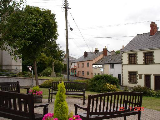
Sarn

Settlement in Flintshire

Wales

Sarn

Guidepost at road junction, Trelogan WHITFORD
HOLYWELL
GLANRAFON
Guidepost at road junction, Trelogan Credit: Meirion

Sarn is a small village located in Flintshire, Wales. It is situated near the border with England, approximately 4 miles south-west of the town of Holywell. The village is surrounded by picturesque countryside and is known for its rural charm and peaceful atmosphere.

Sarn has a population of around 1,200 residents and is a close-knit community with a strong sense of local pride. The village has a few amenities including a primary school, a village hall, a pub, and a few small shops. There are also several farms in the surrounding area, contributing to the village's agricultural heritage.

Sarn is well-connected by road, with the A55 North Wales Expressway running nearby, providing easy access to nearby towns and cities such as Chester and Wrexham. The village is also within close proximity to the coast, making it a popular destination for those looking to enjoy the beautiful Welsh coastline.

Overall, Sarn is a quaint and peaceful village with a strong sense of community spirit, making it an ideal place to live for those seeking a tranquil rural lifestyle.

If you have any feedback on the listing, please let us know in the comments section below.
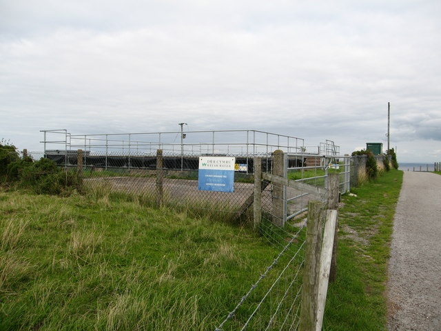
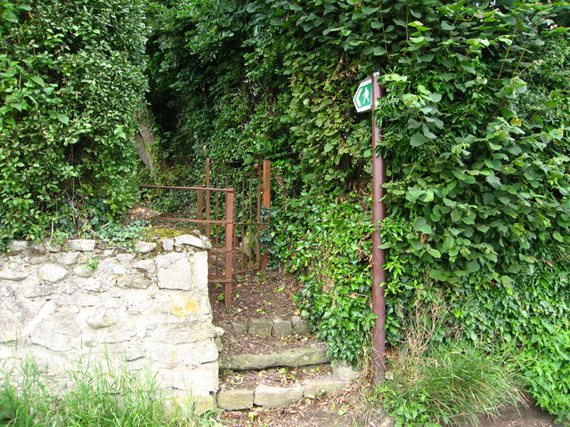
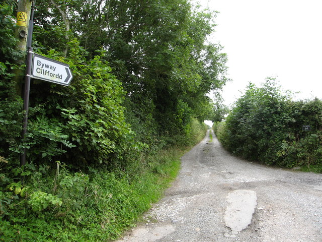
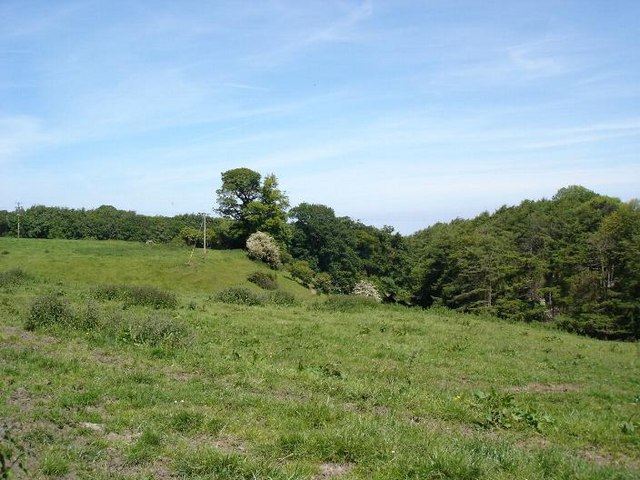
Sarn Images

Images are sourced within 2km of 53.300793/-3.3300866 or Grid Reference SJ1179. Thanks to Geograph Open Source API. All images are credited.

Guidepost at road junction, Trelogan WHITFORD
HOLYWELL
GLANRAFON
Guidepost at road junction, Trelogan
WHITFORD HOLYWELL GLANRAFON
Damaged benchmark on derelict building, Trelogan For more details see: <span class="nowrap"><a title="https://www.bench-marks.org.uk/bm180728" rel="nofollow ugc noopener" href="https://www.bench-marks.org.uk/bm180728">Link</a><img style="margin-left:2px;" alt="External link" title="External link - shift click to open in new window" src="https://s1.geograph.org.uk/img/external.png" width="10" height="10"/></span>
Damaged benchmark on derelict building, Trelogan
For more details see: LinkExternal link
Maen Achwyfan Wheel Cross
Benchmark at Angorfa, Marian For more details see: <span class="nowrap"><a title="https://www.bench-marks.org.uk/bm180729" rel="nofollow ugc noopener" href="https://www.bench-marks.org.uk/bm180729">Link</a><img style="margin-left:2px;" alt="External link" title="External link - shift click to open in new window" src="https://s1.geograph.org.uk/img/external.png" width="10" height="10"/></span>
Benchmark at Angorfa, Marian
For more details see: LinkExternal link
Bougonvillea bloom Sometimes called the 'paper flower'. Apparently it requires little watering so is ideally suited to drier climates.
Seen at Jackson's nursery.
Bougonvillea bloom
Sometimes called the 'paper flower'. Apparently it requires little watering so is ideally suited to drier climates. Seen at Jackson's nursery.
The countdown to Christmas has started At the time of the photograph 62 days remained.
The countdown to Christmas has started
At the time of the photograph 62 days remained.
Study of a Gasoline Station Texaco, Trelawnyd.

This photograph is part of a series taken in homage to the American artist Ed Ruscha's 1963 publication of 'Twentysix Gasoline Stations'.
More properly known as filling stations in the UK, I am attempting to photograph as many as possible to mark the sixty year anniversary.
Study of a Gasoline Station
Texaco, Trelawnyd. This photograph is part of a series taken in homage to the American artist Ed Ruscha's 1963 publication of 'Twentysix Gasoline Stations'. More properly known as filling stations in the UK, I am attempting to photograph as many as possible to mark the sixty year anniversary.
Fields north of Trelogan Whilst the field in the forefront is not currently in agricultural use, it contrasts with the remainder of the land seen.
Fields north of Trelogan
Whilst the field in the forefront is not currently in agricultural use, it contrasts with the remainder of the land seen.
Fields surrounding Trelogan Farm and Berth-y-Maen
Footpath leading to Axton Lane
Welsh Water Service Reservoir at Axton
Kissing gate for footpath to Axton From the Llanasa - Trelogan road
Kissing gate for footpath to Axton
From the Llanasa - Trelogan road
Byway towards Tyddyn Uchaf
Stile on footpath near Tyddyn Uchaf The path heads towards Trelawnyd.  In the distance on the right is Gop Hill.  You can also see views of Snowdonia in the far distance on a good day
Stile on footpath near Tyddyn Uchaf
The path heads towards Trelawnyd. In the distance on the right is Gop Hill. You can also see views of Snowdonia in the far distance on a good day
Stile on the footpath Leading from Tyddyn Uchaf to Axton.  An old Cattle drinking trough sits nearby.
Stile on the footpath
Leading from Tyddyn Uchaf to Axton. An old Cattle drinking trough sits nearby.
Old Boundary Marker by Plas Gwyn Farm, Axton, Llanasa Parish Estate Boundary Marker in the parish of Llanasa (Flintshire District), Plas Gwyn Farm, Axton, by stone wall near old hand pump.

Surveyed

Milestone Society National ID: FLT_LLAN01em.
Old Boundary Marker by Plas Gwyn Farm, Axton, Llanasa Parish
Estate Boundary Marker in the parish of Llanasa (Flintshire District), Plas Gwyn Farm, Axton, by stone wall near old hand pump. Surveyed Milestone Society National ID: FLT_LLAN01em.
Cattle grazing north of Trelogan
North Clwyd Animal Rescue centre In the countryside north of Trelogan, the centre is largest animal welfare charity in the North West,  who care for over 1800 domestic pets every year.
North Clwyd Animal Rescue centre
In the countryside north of Trelogan, the centre is largest animal welfare charity in the North West, who care for over 1800 domestic pets every year.
Show me another place!

Sarn is located at Grid Ref: SJ1179 (Lat: 53.300793, Lng: -3.3300866)

Unitary Authority: Flintshire

Police Authority: North Wales

What 3 Words

///houseboat.trim.grass. Near Whitford, Flintshire

Nearby Locations

Sarn Berthengam

Related Wikis

Trelogan

Trelogan is a village in Flintshire, north east Wales. It is located between Mostyn and Trelawnyd and is almost contiguous with Berthengam. Trelogan had...
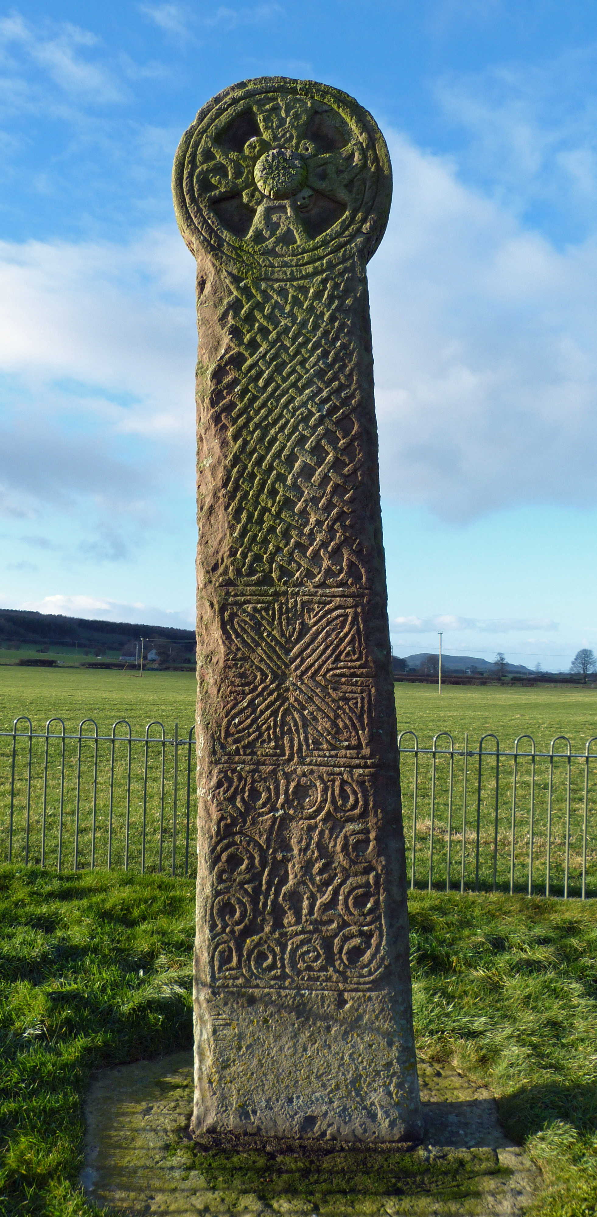
Maen Achwyfan Cross

Maen Achwyfan Cross (Welsh: Maen Achwyfan, Croes Maen Achwyfan), located near the village of Whitford, Flintshire, Wales, is a high cross dating from the...

Trelawnyd

Trelawnyd (formerly Newmarket from 1710 to 1954) is a village in Flintshire, Wales. The village had a population taken at the 2011 census of 584. It is...
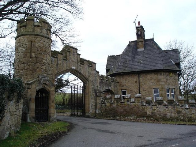
Gyrn Castle

Gyrn Castle is a Grade II-listed castellated mansion in Llanasa in Flintshire. == History == It was built between 1817 and 1824 by John Douglas, who incorporated...

Nearby Amenities

Located within 500m of 53.300793,-3.3300866
Walwen
Place: hamlet
Lat/Long: 53.3023409/-3.3350061
Sarn
Place: hamlet
Wikidata: Q107032915
Lat/Long: 53.2998071/-3.3290876
Power: pole
Lat/Long: 53.2965502/-3.3312047
Power: pole
Lat/Long: 53.2965704/-3.3303227
Power: pole
Lat/Long: 53.2979622/-3.3277909
Power: pole
Lat/Long: 53.2988892/-3.3257531
Power: pole
Lat/Long: 53.2988205/-3.3244926
Power: pole
Lat/Long: 53.2987431/-3.3270429
Power: pole
Lat/Long: 53.2989668/-3.3285845
Power: pole
Lat/Long: 53.2995928/-3.329006
Power: pole
Lat/Long: 53.2970231/-3.3293314
Power: pole
Lat/Long: 53.2972598/-3.3284951
Power: pole
Lat/Long: 53.2993669/-3.3264528
Power: pole
Lat/Long: 53.3000112/-3.3258513
Power: pole
Lat/Long: 53.3007431/-3.3251572
Power: pole
Lat/Long: 53.3012935/-3.3246063
Power: pole
Lat/Long: 53.3018834/-3.3240381
Power: pole
Lat/Long: 53.3027228/-3.3240366
Power: pole
Lat/Long: 53.3034256/-3.3357298
Power: pole
Lat/Long: 53.3028459/-3.3357719
Power: pole
Lat/Long: 53.3022483/-3.33581
Communication Mobile Phone: yes
Man Made: mast
Tower Type: communication
Lat/Long: 53.296876/-3.3278281
Direction: 190
Generator Method: photovoltaic
Generator Output Electricity: yes
Generator Solar Modules: 16
Generator Source: solar
Generator Type: solar_photovoltaic_panel
Location: roof
Power: generator
Lat/Long: 53.3004496/-3.3275713
The data included in this document is from www.openstreetmap.org. The data is made available under ODbL.

Have you been to Sarn?

Leave your review of Sarn below (or comments, questions and feedback).