Berth-ddu

Settlement in Flintshire

Wales

Berth-ddu

Rhes-y-Cae Lime Kilns
Rhes-y-Cae Lime Kilns Credit: Chris Andrews

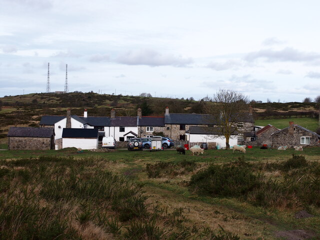
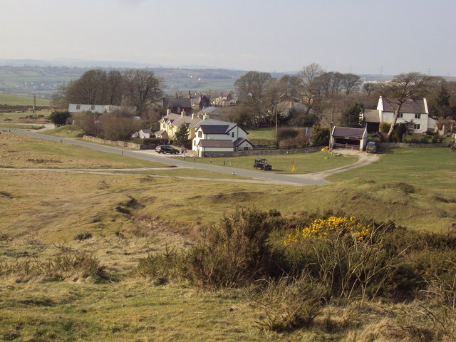
Berth-ddu is a small rural village located in the county of Flintshire, Wales. Situated near the border with England, it lies approximately 5 miles northwest of the town of Mold. The village is nestled within the stunning Welsh countryside, surrounded by rolling hills and picturesque landscapes.

With a population of around 200 residents, Berth-ddu is known for its peaceful and close-knit community. The village mainly consists of traditional Welsh stone houses, giving it a charming and rustic feel. The local economy is predominantly based on agriculture, with farming playing a significant role in the village's heritage and livelihood.

Despite its small size, Berth-ddu offers several amenities to its residents. These include a village hall, which serves as a hub for community events and gatherings. The village also has a primary school, providing education for local children.

The surrounding area offers plenty of opportunities for outdoor activities and exploration. Berth-ddu is located near the Clwydian Range and Dee Valley Area of Outstanding Natural Beauty, making it a popular destination for hikers, cyclists, and nature enthusiasts. The nearby Loggerheads Country Park provides scenic walking trails and is home to diverse wildlife.

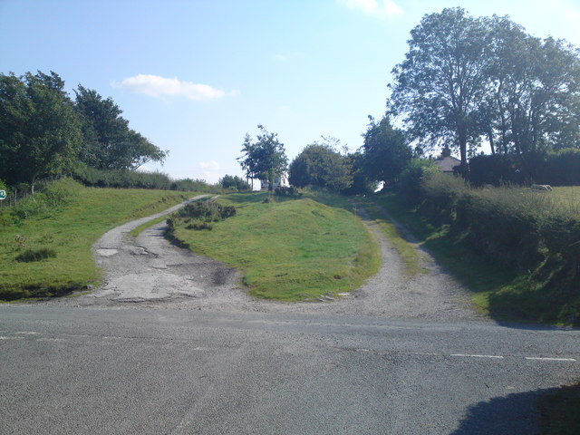
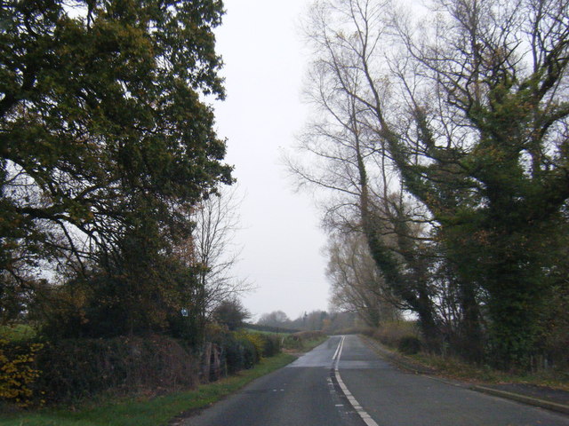
In terms of transportation, Berth-ddu is well-connected to nearby towns and cities. The A541 road passes close to the village, offering convenient access to Mold and the wider road network. Public transportation options include bus services that connect Berth-ddu to neighboring communities.

Overall, Berth-ddu is a delightful village that offers a tranquil and idyllic lifestyle, surrounded by the natural beauty of the Welsh countryside.

If you have any feedback on the listing, please let us know in the comments section below.
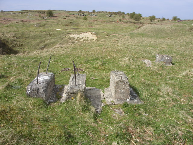
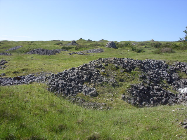
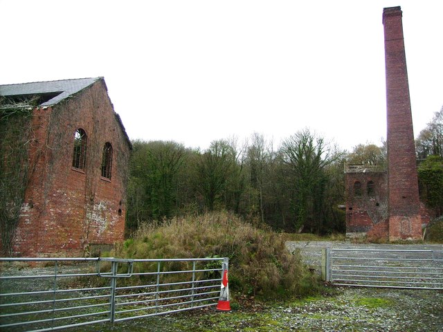
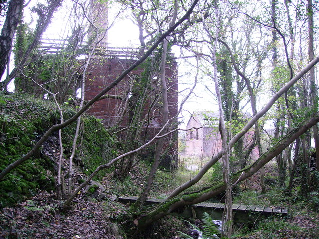
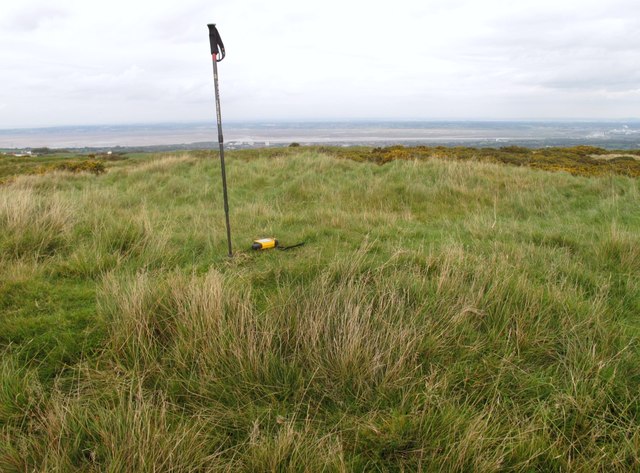
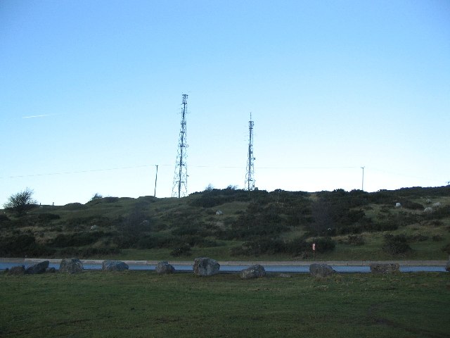
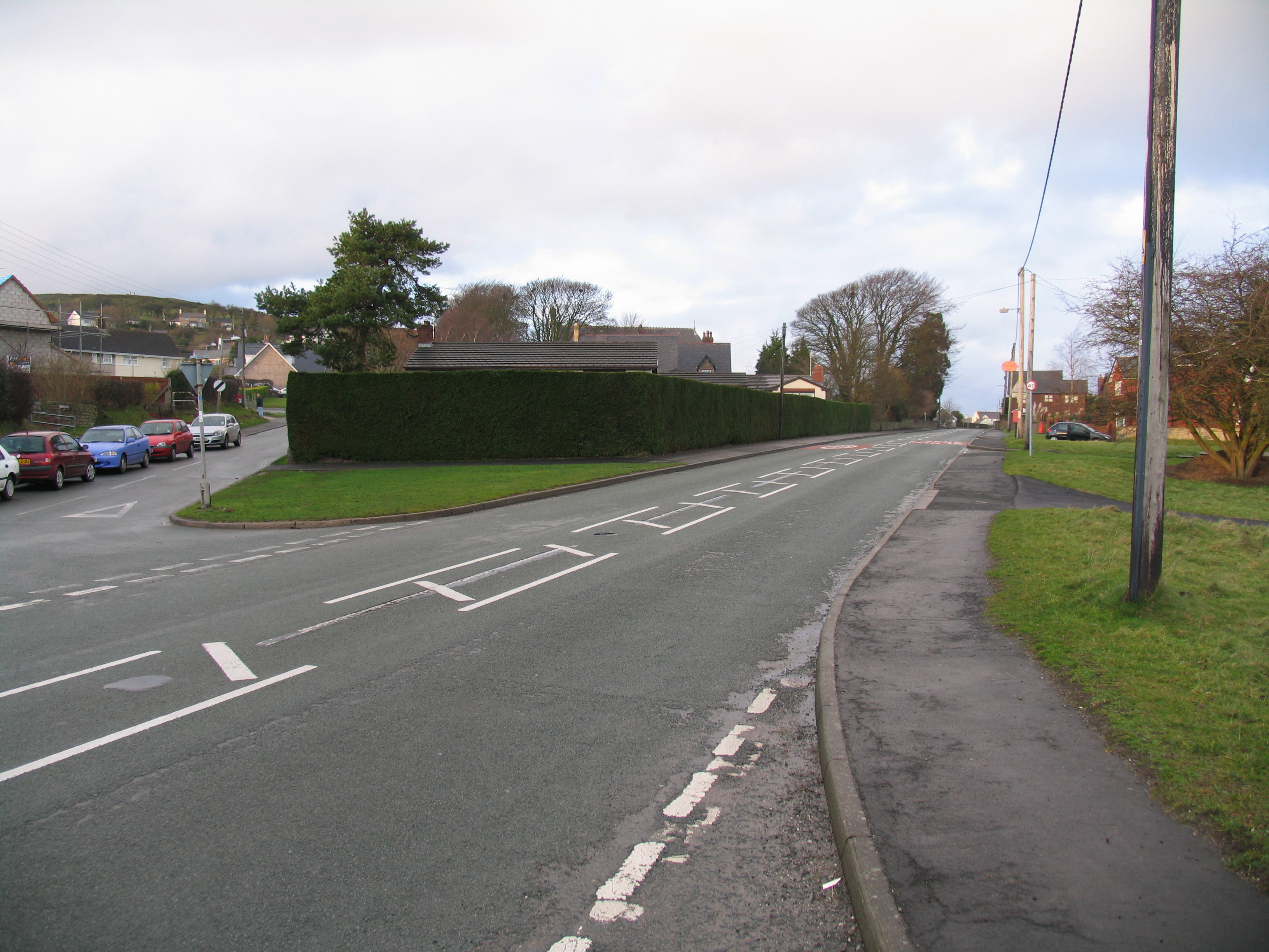
Berth-ddu Images

Images are sourced within 2km of 53.216193/-3.185161 or Grid Reference SJ2069. Thanks to Geograph Open Source API. All images are credited.

Rhes-y-Cae Lime Kilns
Pant Quarry, Halkyn
Pant Quarry, Halkyn
Ramparts and Ditch, Moel y Gaer, Rhosesmor Iron Age hillfort.
Ramparts and Ditch, Moel y Gaer, Rhosesmor
Iron Age hillfort.
Rampart, Moel y Gaer
Pant-y-Ffrith, Berth Ddu Developed from miners cottages.
Pant-y-Ffrith, Berth Ddu
Developed from miners cottages.
Car Parking area, Halkyn An informal car parking area across the road from the Blue Bell Inn.
Car Parking area, Halkyn
An informal car parking area across the road from the Blue Bell Inn.
The Blue Bell Inn, Halkyn
Pant Quarry, Halkyn The last quarry visit in the Pant Quarry.  There is a nice view of the limestone strata in the background.
Pant Quarry, Halkyn
The last quarry visit in the Pant Quarry. There is a nice view of the limestone strata in the background.
Pant Quarry, Halkyn Down into the hole!  Taken during the last quarry visit planned at the Pant
Pant Quarry, Halkyn
Down into the hole! Taken during the last quarry visit planned at the Pant
Concrete bases of 20th C quarrying machinery There was a crane marked here on old maps, on the edge of a deep pit for clay.
Concrete bases of 20th C quarrying machinery
There was a crane marked here on old maps, on the edge of a deep pit for clay.
Old Lead workings, Halkyn Mountain A large area of pits, mounds, spoil and 'beehive' capped shafts, making a very alien landscape.
Old Lead workings, Halkyn Mountain
A large area of pits, mounds, spoil and 'beehive' capped shafts, making a very alien landscape.
Moel y Crio, Flintshire View looking down over the hamlet of Moel y Crio towards Halkyn Mountain
Moel y Crio, Flintshire
View looking down over the hamlet of Moel y Crio towards Halkyn Mountain
The old coach road looking South This is a view of the old coach road (now a track) in Halkyn heading South towards Rhosesmor.  The house on the right by the tree is the old toll house.
The old coach road looking South
This is a view of the old coach road (now a track) in Halkyn heading South towards Rhosesmor. The house on the right by the tree is the old toll house.
Engine House at Taylor's Shaft, Hendre Lead Mines Engine House built during WW1 to revive the lead mines, and another similar building. The brick chimney is very tall.
Engine House at Taylor's Shaft, Hendre Lead Mines
Engine House built during WW1 to revive the lead mines, and another similar building. The brick chimney is very tall.
Engine House at Taylor's Shaft, Hendre Lead Mines WW1 lead mining buildings taken from the footbridge over the stream
Engine House at Taylor's Shaft, Hendre Lead Mines
WW1 lead mining buildings taken from the footbridge over the stream
Moel y Gaer Parked to NNE and used one of many paths to walk around summit rampards, then onto summit covered reservoir before finding wall of hollowed tumulus. Great views today.
Name: Moel y Gaer
Hill number: 5164
Height: 303.7m / 996ft
Area: 30C: Llandudno to Wrexham
Class: Hu
Grid ref: SJ 21068 69081
Summit feature: wall of hollowed tumulus
Drop: 126m
Col: 178m  SJ106750
Moel y Gaer
Parked to NNE and used one of many paths to walk around summit rampards, then onto summit covered reservoir before finding wall of hollowed tumulus. Great views today. Name: Moel y Gaer Hill number: 5164 Height: 303.7m / 996ft Area: 30C: Llandudno to Wrexham Class: Hu Grid ref: SJ 21068 69081 Summit feature: wall of hollowed tumulus Drop: 126m Col: 178m SJ106750
B5126 near Plas Newydd, the main road before the A55
Halkyn Mountain A view looking north across a quarry access road to the twin radio towers on Halkyn Mountain
Halkyn Mountain
A view looking north across a quarry access road to the twin radio towers on Halkyn Mountain
Show me another place!

Berth-ddu is located at Grid Ref: SJ2069 (Lat: 53.216193, Lng: -3.185161)

Unitary Authority: Flintshire

Police Authority: North Wales

What 3 Words

///argued.soda.civil. Near Halkyn, Flintshire

Nearby Locations

Berth-ddu Helygain Halkyn

Related Wikis

Moel y Gaer, Rhosesmor

Moel y Gaer (Welsh for "bald hill of the fortress") is an Iron Age hillfort located on a summit at the southern end of Halkyn Mountain, overlooking the...

Milwr Tunnel

The Milwr Tunnel is a mine drainage adit running some 10 miles from the hamlet of Cadole near Loggerheads, Denbighshire to Bagillt on the Dee Estuary in...

Rhosesmor

Rhosesmor is a small village near Mold, Flintshire, in north-east Wales. The village lies near the parishes of Halkyn and Rhes-y-cae. The hamlet of Wern...

Halkyn Castle

Halkyn Castle (Welsh: Castell Helygain) is a mansion house in the village of Halkyn, Flintshire, Wales. The house, with its associated stable block, is...

Nearby Amenities

Located within 500m of 53.216193,-3.185161
Berth-ddu
Place: hamlet
Lat/Long: 53.2168029/-3.1829263
Moel Y Gaer
Ele: 303
Name Cy: Meol Y Gaer
Natural: peak
Wikidata: Q106709443
Lat/Long: 53.2125989/-3.1829511
Man Made: adit
Lat/Long: 53.2193424/-3.1839944
Power: pole
Lat/Long: 53.212404/-3.1846855
Power: pole
Lat/Long: 53.2118081/-3.1848223
Power: pole
Lat/Long: 53.2131337/-3.1845375
Power: pole
Lat/Long: 53.2137005/-3.1844346
Power: pole
Lat/Long: 53.214343/-3.1843303
Power: pole
Lat/Long: 53.2148605/-3.1846199
Power: pole
Lat/Long: 53.215619/-3.1850435
Power: pole
Lat/Long: 53.2158661/-3.1860746
Power: pole
Lat/Long: 53.216564/-3.1866555
Power: pole
Lat/Long: 53.2168352/-3.1869157
Power: pole
Lat/Long: 53.2173249/-3.1873922
Power: pole
Lat/Long: 53.2179694/-3.1880738
Power: pole
Lat/Long: 53.2182766/-3.1883931
Power: pole
Lat/Long: 53.2188898/-3.1890424
Power: pole
Lat/Long: 53.219508/-3.1896832
Moel-y-Gaer Hillfort
Archaeological Site: fortification
Fortification Type: hill_fort
Historic: archaeological_site
Name Cy: Meol-y-Gaer (bryngaer)
Wikidata: Q6890131
Wikipedia: en:Moel y Gaer, Rhosesmor
Lat/Long: 53.2124104/-3.1836874
Man Made: mineshaft
Lat/Long: 53.2201945/-3.1869957
Man Made: mineshaft
Lat/Long: 53.2198185/-3.1865354
Man Made: mineshaft
Lat/Long: 53.2146202/-3.1920855
Man Made: mineshaft
Lat/Long: 53.2148995/-3.1920846
Man Made: mineshaft
Lat/Long: 53.2155875/-3.1922664
Direction: SSW
Generator Method: photovoltaic
Generator Output Electricity: yes
Generator Solar Modules: 8
Generator Source: solar
Generator Type: solar_photovoltaic_panel
Location: roof
Power: generator
Lat/Long: 53.2167962/-3.1840081
Direction: SSW
Generator Method: photovoltaic
Generator Output Electricity: yes
Generator Solar Modules: 8
Generator Source: solar
Generator Type: solar_photovoltaic_panel
Location: roof
Power: generator
Lat/Long: 53.2167774/-3.1839276
Direction: SE
Generator Method: photovoltaic
Generator Output Electricity: yes
Generator Solar Modules: 15
Generator Source: solar
Generator Type: solar_photovoltaic_panel
Location: roof
Power: generator
Lat/Long: 53.2137028/-3.1898761
Direction: 215
Generator Method: photovoltaic
Generator Output Electricity: yes
Generator Solar Modules: 9
Generator Source: solar
Generator Type: solar_photovoltaic_panel
Location: roof
Power: generator
Lat/Long: 53.2134121/-3.1889816
Direction: ESE
Generator Method: photovoltaic
Generator Output Electricity: yes
Generator Solar Modules: 7
Generator Source: solar
Generator Type: solar_photovoltaic_panel
Location: roof
Power: generator
Lat/Long: 53.2123761/-3.1870839
Direction: WSW
Generator Method: photovoltaic
Generator Output Electricity: yes
Generator Solar Modules: 11
Generator Source: solar
Generator Type: solar_photovoltaic_panel
Location: roof
Power: generator
Lat/Long: 53.2123793/-3.1872153
Direction: SE
Generator Method: photovoltaic
Generator Output Electricity: yes
Generator Solar Modules: 1
Generator Source: solar
Generator Type: solar_photovoltaic_panel
Location: roof
Power: generator
Lat/Long: 53.2136711/-3.1899492
The data included in this document is from www.openstreetmap.org. The data is made available under ODbL.

Have you been to Berth-ddu?

Leave your review of Berth-ddu below (or comments, questions and feedback).