Berse Drelincourt

Settlement in Denbighshire

Wales

Berse Drelincourt

Wrexham General station platforms and offices
Wrexham General station platforms and offices Credit: Roy Hughes

Berse Drelincourt is a small village located in the county of Denbighshire, Wales. Situated in the picturesque Vale of Clwyd, it lies approximately 6 miles west of the market town of Denbigh.

The village is known for its beautiful natural surroundings, with rolling hills and lush green fields dominating the landscape. It is home to a close-knit community that takes pride in its Welsh heritage and traditions. The Welsh language is widely spoken in the area, reflecting the strong cultural identity of the residents.

Berse Drelincourt has a long history, dating back to medieval times. It was once a bustling agricultural center, with farming being the primary occupation of the villagers. Today, the village retains its rural charm, with many traditional stone houses and farm buildings still standing.

Despite its small size, Berse Drelincourt offers a range of amenities for its residents. These include a village hall, a community center, and a local pub where villagers often gather to socialize. The village also has a primary school, ensuring that children receive a quality education close to home.

For outdoor enthusiasts, Berse Drelincourt is an ideal location. The surrounding countryside offers numerous walking and cycling trails, providing opportunities to explore the natural beauty of the area. Additionally, the nearby Clwydian Range and Snowdonia National Park offer further outdoor activities such as hiking, climbing, and wildlife spotting.

In conclusion, Berse Drelincourt is a tranquil village in Denbighshire, Wales, known for its scenic beauty, strong community spirit, and connection to Welsh culture. It provides a peaceful and idyllic setting for residents and visitors alike.

If you have any feedback on the listing, please let us know in the comments section below.

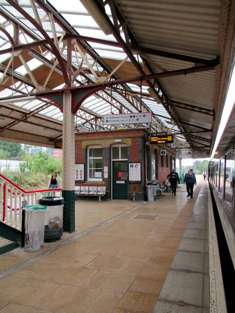
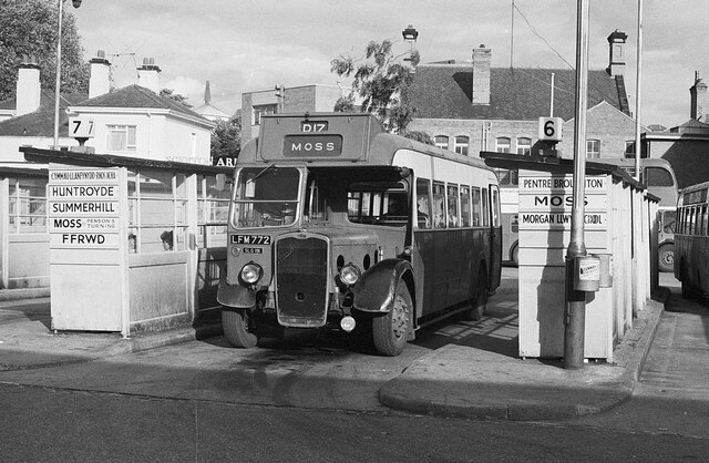
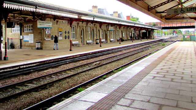
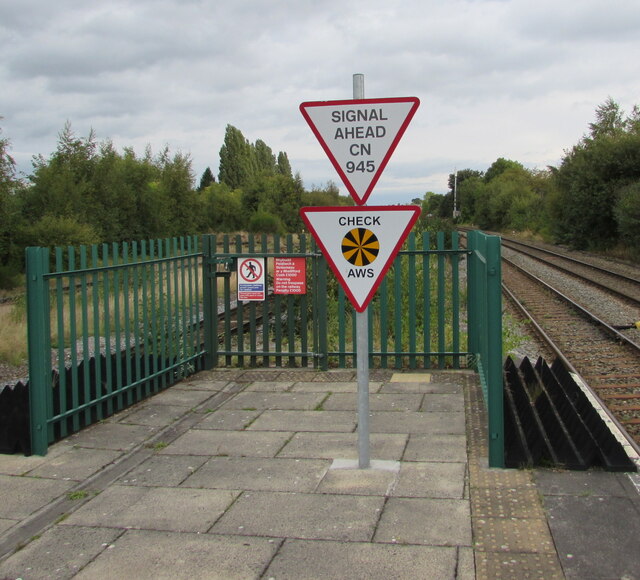
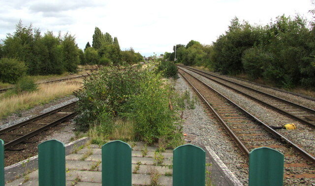
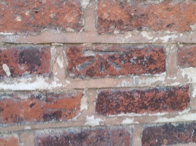
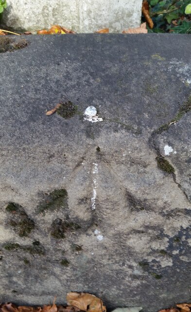
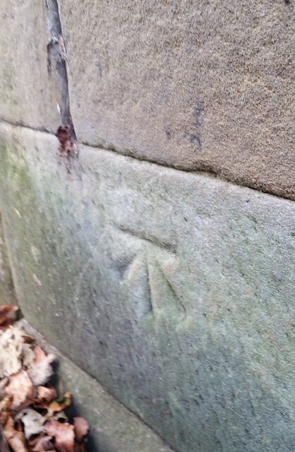
Berse Drelincourt Images

Images are sourced within 2km of 53.05052/-3.019486 or Grid Reference SJ3150. Thanks to Geograph Open Source API. All images are credited.

Wrexham General station platforms and offices
Wrexham General station and footbridge
Wrexham bus station – 1969 A feature of the bus station was the hand-painted destination boards on the shelters.

Bay 6 is occupied by a venerable Bristol LL5G of Crosville Motor Services (No.SLG191) on one of the routes to Moss. Built in 1950, at the age of 19 it was well beyond the average life of a bus in those days.

This is one of a series of views featuring buses in the 60s, 70s, and 80s. <a title="https://www.geograph.org.uk/search.php?i=137652761" href="https://www.geograph.org.uk/search.php?i=137652761">Link</a>
Wrexham bus station – 1969
A feature of the bus station was the hand-painted destination boards on the shelters. Bay 6 is occupied by a venerable Bristol LL5G of Crosville Motor Services (No.SLG191) on one of the routes to Moss. Built in 1950, at the age of 19 it was well beyond the average life of a bus in those days. This is one of a series of views featuring buses in the 60s, 70s, and 80s. Link
Wrexham General platform 1 This platform is normally used by southbound trains.
Wrexham General platform 1
This platform is normally used by southbound trains.
From 2 to 1 at Wrexham General station Looking south along platform 1 from platform 2.
From 2 to 1 at Wrexham General station
Looking south along platform 1 from platform 2.
Triangular signs at the northern end of Platform 4, Wrexham General station Showing SIGNAL AHEAD CN 945 and CHECK AWS in September 2016.
Triangular signs at the northern end of Platform 4, Wrexham General station
Showing SIGNAL AHEAD CN 945 and CHECK AWS in September 2016.
Railway lines north of Wrexham General station Viewed from the fence here. <a title="https://www.geograph.org.uk/photo/6963517" href="https://www.geograph.org.uk/photo/6963517">Link</a>
Railway lines north of Wrexham General station
Viewed from the fence here. Link
Ordnance Survey Cut Mark This OS cut mark can be found on the wall south side of Prices Lane. It marks a point 84.597m above mean sea level.
Ordnance Survey Cut Mark
This OS cut mark can be found on the wall south side of Prices Lane. It marks a point 84.597m above mean sea level.
Ordnance Survey Cut Mark This OS cut mark can be found on the garage at the rear of No29 Chester Road. It marks a point 84.981m above mean sea level.
Ordnance Survey Cut Mark
This OS cut mark can be found on the garage at the rear of No29 Chester Road. It marks a point 84.981m above mean sea level.
Ordnance Survey Cut Mark This very worn OS cut mark can be found on the west side of Chester Road. It marks a point 85.106m above mean sea level.
Ordnance Survey Cut Mark
This very worn OS cut mark can be found on the west side of Chester Road. It marks a point 85.106m above mean sea level.
Ordnance Survey Rivet This OS rivet can be found on the wallof No7 Grove Road. It marks a point 85.335m above mean sea level.
Ordnance Survey Rivet
This OS rivet can be found on the wallof No7 Grove Road. It marks a point 85.335m above mean sea level.
Ordnance Survey Cut Mark This OS cut mark can be found on the wall of No13 Grove Road. It marks a point 85.167m above mean sea level.
Ordnance Survey Cut Mark
This OS cut mark can be found on the wall of No13 Grove Road. It marks a point 85.167m above mean sea level.
Ordnance Survey Cut Mark This very worn OS cut mark can be found at the junction of Grove Road & Chester Road.
Ordnance Survey Cut Mark
This very worn OS cut mark can be found at the junction of Grove Road & Chester Road.
Ordnance Survey Cut Mark This OS cut mark can be found on the wall post west side of Chester Road. It marks a point 85.250m above mean sea level.
Ordnance Survey Cut Mark
This OS cut mark can be found on the wall post west side of Chester Road. It marks a point 85.250m above mean sea level.
Ordnance Survey Cut Mark This OS cut mark can be found on the north face of the Wynnstay Arms Hotel. It marks a point 80.330m above mean sea level.
Ordnance Survey Cut Mark
This OS cut mark can be found on the north face of the Wynnstay Arms Hotel. It marks a point 80.330m above mean sea level.
Ordnance Survey Cut Mark This OS cut mark can be found on the wall west side of Chester Road. It marks a point 84.725m above mean sea level.
Ordnance Survey Cut Mark
This OS cut mark can be found on the wall west side of Chester Road. It marks a point 84.725m above mean sea level.
Ordnance Survey Cut Mark This OS cut mark can be found on the Old Courts/Police Station building. It marks a point 86.786m above mean sea level.
Ordnance Survey Cut Mark
This OS cut mark can be found on the Old Courts/Police Station building. It marks a point 86.786m above mean sea level.
Ordnance Survey Cut Mark This OS cut mark can be found on No35 Hope Street. It marks a point 85.777m above mean sea level.
Ordnance Survey Cut Mark
This OS cut mark can be found on No35 Hope Street. It marks a point 85.777m above mean sea level.
Show me another place!

Berse Drelincourt is located at Grid Ref: SJ3150 (Lat: 53.05052, Lng: -3.019486)

Unitary Authority: Wrexham

Police Authority: North Wales

What 3 Words

///petal.sofa.such. Near Wrexham

Related Wikis

Moss Valley Branch

Moss Valley branch was a two mile long single track line built by the Great Western Railway in what is now the county borough of Wrexham, Wales. It ran...

Croesnewydd Hall

Croesnewydd Hall is a Grade II* listed building in Wrexham Technology Park, in the west of Wrexham, North Wales. It was built in 1696 as a small mansion...

Caego

Caego is a village in Wrexham County Borough, Wales, immediately to the west of the city of Wrexham in the community of Broughton. It is contiguous with...

Gatewen Halt railway station

Gatewen Halt railway station was a station in New Broughton, Wrexham, Wales. The station was opened on 1 May 1905 and closed on 1 January 1931. == References ==

Nearby Amenities

Located within 500m of 53.05052,-3.019486
Motorway Junction
Mold Road
Name Cy: Ffordd yr Wyddgrug
Name En: Mold Road
Ref: 5
Source Ref: survey
Lat/Long: 53.052273/-3.0132498
Traffic Signals
Traffic Signals: signal
Lat/Long: 53.0467405/-3.0156857
Moss Valley Junction
Railway: junction
Lat/Long: 53.0488841/-3.022558
Barrier: lift_gate
Lat/Long: 53.0505741/-3.0121614
Erddig Place play area
Leisure: playground
Lat/Long: 53.0480851/-3.0175897
Barrier: bollard
Lat/Long: 53.0479904/-3.0176053
Barrier: bollard
Lat/Long: 53.0475215/-3.0161294
Driving School
Wrexham Driving Test Centre
Addr City: Wrexham
Addr Housename: Birchall House
Addr Street: Croesnewydd Road
Name Cy: Canolfan Prawf Gyrru Wrecsam
Name En: Wrexham Driving Test Centre
Operator: Driver and Vehicle Standards Agency
Operator Type: government
Lat/Long: 53.0489694/-3.0161456
Shop: caravan
Lat/Long: 53.0531998/-3.0189862
The data included in this document is from www.openstreetmap.org. The data is made available under ODbL.

Have you been to Berse Drelincourt?

Leave your review of Berse Drelincourt below (or comments, questions and feedback).