Berryhillock
Settlement in Banffshire
Scotland
Berryhillock
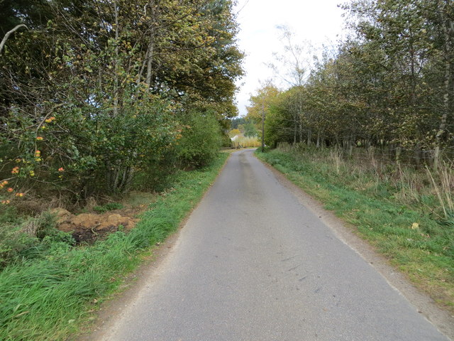
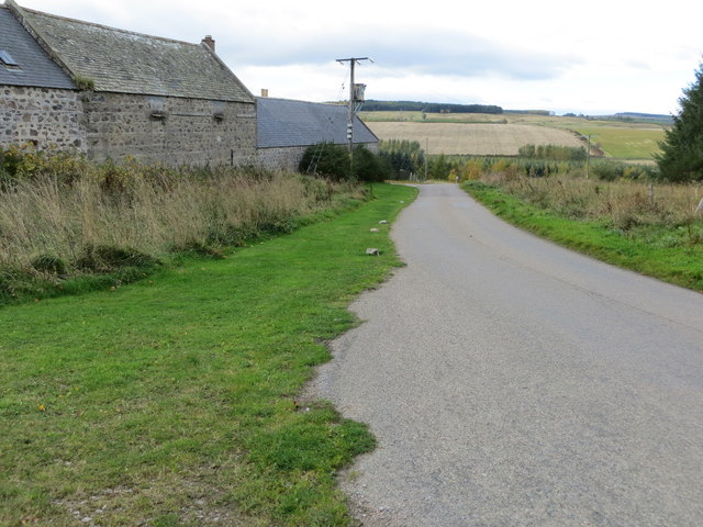
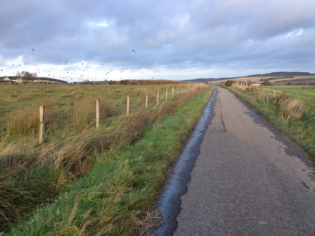
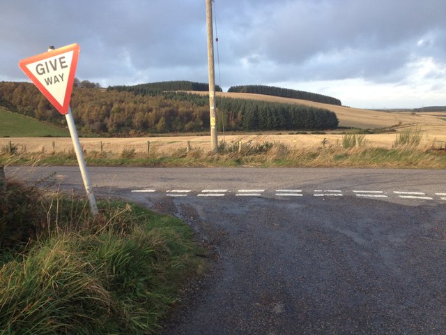
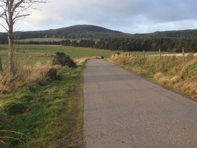
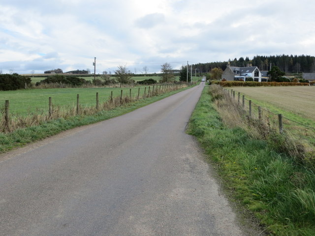
Berryhillock is a small village located in the region of Banffshire, Scotland. Situated in the northeast of the country, it lies approximately 8 miles southeast of the town of Banff and 12 miles northwest of the city of Fraserburgh. The village is nestled in a picturesque rural setting, surrounded by rolling hills and farmland.
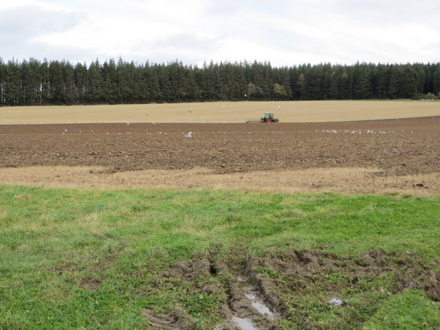
With its origins dating back to the 18th century, Berryhillock has a rich history. It was initially a farming community, and although agriculture remains an important part of the local economy, the village has seen some diversification in recent years. The population of Berryhillock is relatively small, with around 200 residents.
Despite its size, the village has a close-knit community, and local amenities cater to the needs of its residents. There is a primary school, providing education for children in the area, while a small convenience store offers essential goods. For more extensive shopping and services, residents often travel to neighboring towns.
Nature enthusiasts will find plenty to explore in the surrounding area. The nearby coastline offers stunning views of the North Sea, with beautiful sandy beaches just a short drive away. Additionally, the rolling hills and countryside provide opportunities for hiking, cycling, and birdwatching.
Overall, Berryhillock offers a peaceful and idyllic setting for those seeking a rural lifestyle, while still being within reach of larger towns and amenities.
If you have any feedback on the listing, please let us know in the comments section below.
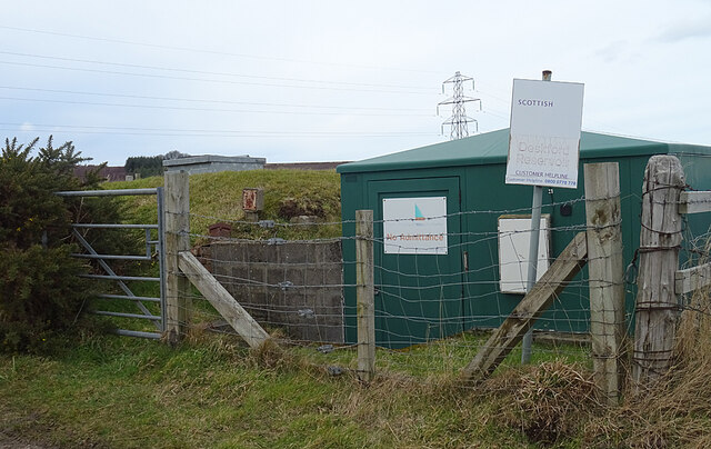
Berryhillock Images
Images are sourced within 2km of 57.634825/-2.831709 or Grid Reference NJ5060. Thanks to Geograph Open Source API. All images are credited.


Berryhillock is located at Grid Ref: NJ5060 (Lat: 57.634825, Lng: -2.831709)
Unitary Authority: Moray
Police Authority: North East
What 3 Words
///absorbs.nips.assemble. Near Cullen, Moray
Nearby Locations
Related Wikis

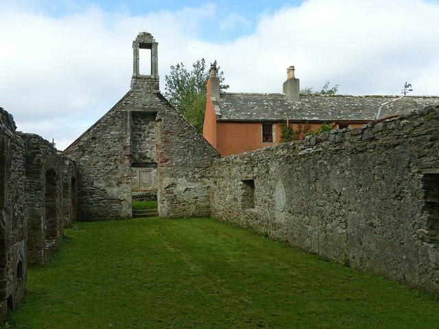
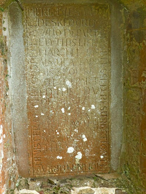
Deskford
Deskford (Scottish Gaelic: Deasgard) is a parish and a small settlement in Moray, Scotland, formerly in Banffshire. A number of significant historical...

Deskford Tower
Tower of Deskford was a 14th-century tower house, about 3.5 miles (5.6 km) south of Cullen, Moray, Scotland at Deskford, west of the burn. The tower and...

Battle of Bauds
Battle of Bauds was a battle fought in 962 in an area known as the Bauds, south of Findochty and west of Cullen near Portknockie, Scotland between Scotland...

Bin of Cullen
Bin of Cullen or Bin Hill (Scottish Gaelic: Am Binnean) is a hill in Moray, Scotland directly inland from Findochty. Bin of Cullen is 320 m in height and...
Tochieneal railway station
Tochieneal railway station was a railway station that served the small industrial village of Tochieneal, close to Cullen in Moray. The railway station...

Cullen House
Cullen House is a large house, about 1 kilometre (0.6 mi) south-west of the coastal town of Cullen in Moray, Scotland. It was the seat of the Ogilvies...
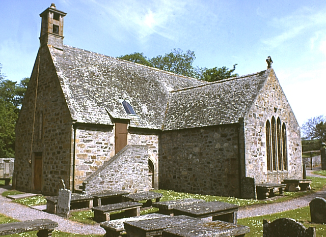
Cullen Old Church
Cullen Old Church (also known as Cullen Auld Kirk) is the parish church for Cullen and Deskford, in Moray. It was originally a part of the Roman Catholic...

Fordyce Castle
Fordyce Castle is a T-plan castle, its oldest part dating from 1592, about three miles south-west of Portsoy, in the village of Fordyce, Aberdeenshire...
Nearby Amenities
Located within 500m of 57.634825,-2.831709Have you been to Berryhillock?
Leave your review of Berryhillock below (or comments, questions and feedback).