Berrygate Hill

Settlement in Yorkshire

England

Berrygate Hill

Saltaugh Road, Keyingham
Saltaugh Road, Keyingham Credit: David Brown

Berrygate Hill is a small village located in the county of Yorkshire, England. Situated in the picturesque countryside, this idyllic settlement offers residents and visitors alike a tranquil and charming atmosphere. The village is nestled amongst rolling hills and verdant valleys, making it a popular destination for nature enthusiasts and hikers.

Berrygate Hill is home to a close-knit community, with a population of around 300 people. The village is characterized by its quaint stone cottages, which date back several centuries and provide a glimpse into the region's rich history. Additionally, the local church, St. Mary's, stands as a prominent landmark, showcasing stunning architecture and serving as a gathering place for religious ceremonies and community events.

Despite its small size, Berrygate Hill boasts a range of amenities to cater to its residents' needs. These include a village shop, post office, and a traditional pub, where locals and visitors can enjoy a pint of locally brewed ale and engage in friendly conversation. The village also benefits from excellent transport links, with regular bus services connecting it to nearby towns and cities.

Surrounding Berrygate Hill is an abundance of natural beauty, including picturesque walking trails, lush forests, and meandering streams. This allows residents to enjoy a range of outdoor activities, such as hiking, cycling, and wildlife spotting. The stunning scenery also attracts tourists who seek a peaceful retreat away from the hustle and bustle of urban life.

In conclusion, Berrygate Hill is a charming village nestled in the heart of Yorkshire's countryside. With its rich history, close-knit community, and stunning natural landscapes, it offers a serene and picturesque setting for residents and visitors to enjoy.

If you have any feedback on the listing, please let us know in the comments section below.

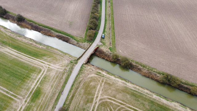
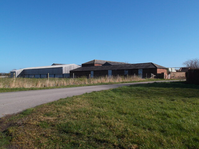
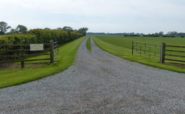
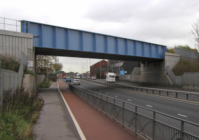
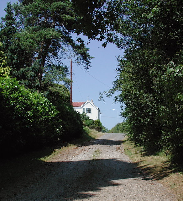
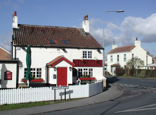
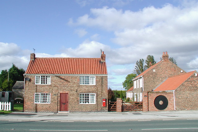
Berrygate Hill Images

Images are sourced within 2km of 53.697959/-0.138451 or Grid Reference TA2324. Thanks to Geograph Open Source API. All images are credited.

Saltaugh Road, Keyingham
Sands Bridge from the Air The bridge crosses the Stone Creek to Keyingham road.
Sands Bridge from the Air
The bridge crosses the Stone Creek to Keyingham road.
Ploughed field off Bellcroft Lane Typical local view!
Ploughed field off Bellcroft Lane
Typical local view!
Farm buildings at Thorney Crofts
Approaching Marsh House
Old Milestone, Thorgumbald Close to the parish boundary with Keyingham this MS sits in the triangle of Hariff Lane where it joins the A1033. In 1900 its location was TA 23051 25622 (SE of junction). Note the map spelling is Patrington as far back as 1892.

Inscription: Pattrington / 6 / Hull / 12

Grade II listed see <span class="nowrap"><a title="https://historicengland.org.uk/listing/the-list/list-entry/1083441" rel="nofollow ugc noopener" href="https://historicengland.org.uk/listing/the-list/list-entry/1083441">Link</a><img style="margin-left:2px;" alt="External link" title="External link - shift click to open in new window" src="https://s1.geograph.org.uk/img/external.png" width="10" height="10"/></span>

Milestone Society National ID: YE_HLPA12
Old Milestone, Thorgumbald
Close to the parish boundary with Keyingham this MS sits in the triangle of Hariff Lane where it joins the A1033. In 1900 its location was TA 23051 25622 (SE of junction). Note the map spelling is Patrington as far back as 1892. Inscription: Pattrington / 6 / Hull / 12 Grade II listed see LinkExternal link Milestone Society National ID: YE_HLPA12
A1033 at Ryehill Lane junction
A1033 Hull Road at Keyingham village boundary
Track near White House Farm This appears now to go all the way through to Dam Lane.
Track near White House Farm
This appears now to go all the way through to Dam Lane.
Salthaugh Road Heading in the direction of Salthaugh Grange.
Salthaugh Road
Heading in the direction of Salthaugh Grange.
Salthaugh Road Looking towards Keyingham.
Salthaugh Road
Looking towards Keyingham.
View across Keyingham Ings towards Keyingham
Stubble field, Keyingham Marsh I expect the farmer is pleased to see his field harvested. Almost daily rain has prevented much in the way of harvesting for a couple of weeks and there is still a fair amount of spring sown barley and wheat standing in the fields.
Stubble field, Keyingham Marsh
I expect the farmer is pleased to see his field harvested. Almost daily rain has prevented much in the way of harvesting for a couple of weeks and there is still a fair amount of spring sown barley and wheat standing in the fields.
Straw bales by the roadside Marsh Lane, Keyingham.
Straw bales by the roadside
Marsh Lane, Keyingham.
Prepared field, Keyingham Marsh
Footpath to Boyes Lane, Keyingham
Driveway to Old Little Humber Farm
Keyingham Drain at Sands Bridge
Show me another place!

Berrygate Hill is located at Grid Ref: TA2324 (Lat: 53.697959, Lng: -0.138451)

Division: East Riding

Unitary Authority: East Riding of Yorkshire

Police Authority: Humberside

What 3 Words

///vague.acoustics.standards. Near Keyingham, East Yorkshire

Nearby Locations

Berrygate Hill Keyingham

Related Wikis

A1033 road

The A1033 road is a main arterial route across Kingston upon Hull and the East Riding of Yorkshire connecting Hull with Withernsea. The road carries traffic...

Ryehill, East Riding of Yorkshire

Ryehill is a hamlet in the East Riding of Yorkshire, England, in an area known as Holderness. It is situated approximately 7 miles (11 km) east of Hull...

Keyingham

Keyingham is a village and civil parish in the East Riding of Yorkshire, England. The village is situated approximately 10 miles (16 km) east of Kingston...

Camerton, East Riding of Yorkshire

Camerton is a hamlet in the East Riding of Yorkshire, England, in an area known as Holderness. It is situated approximately 7 miles (11 km) east of Hull...

Nearby Amenities

Located within 500m of 53.697959,-0.138451
Power: pole
Lat/Long: 53.6936668/-0.1385628
Power: pole
Lat/Long: 53.6968938/-0.1376025
Power: pole
Lat/Long: 53.6961252/-0.1377313
Power: pole
Lat/Long: 53.6983007/-0.137447
Power: pole
Lat/Long: 53.6939272/-0.1384072
Power: pole
Lat/Long: 53.6976401/-0.1374952
Power: pole
Lat/Long: 53.6945466/-0.1381765
Power: pole
Lat/Long: 53.6953597/-0.1378439
Power: pole
Lat/Long: 53.7021722/-0.1363528
Power: pole
Lat/Long: 53.7004828/-0.1369053
Power: pole
Lat/Long: 53.7013148/-0.136621
Power: pole
Lat/Long: 53.6991013/-0.1373238
The data included in this document is from www.openstreetmap.org. The data is made available under ODbL.

Have you been to Berrygate Hill?

Leave your review of Berrygate Hill below (or comments, questions and feedback).