Berrylands

Settlement in Surrey

England

Berrylands

Bridge over Upper Brighton Road
Bridge over Upper Brighton Road Credit: JThomas

Berrylands is a suburban area located in the Royal Borough of Kingston upon Thames, in the county of Surrey, England. Situated just 10 miles southwest of central London, it is known for its tranquil residential atmosphere and convenient access to both urban amenities and natural surroundings.

The area is primarily residential, characterized by a mix of Victorian and Edwardian houses, as well as a number of more modern developments. Tree-lined streets and well-maintained gardens contribute to the pleasant ambiance of the neighborhood. Berrylands is popular with families and professionals looking for a peaceful and friendly community.

Despite its suburban setting, Berrylands benefits from excellent transport links. Berrylands railway station provides regular services to London Waterloo, making it a convenient location for commuters. Additionally, the A3 trunk road is easily accessible, connecting Berrylands to both central London and the wider Surrey area.

Berrylands is home to a variety of amenities, including a selection of local shops, restaurants, and cafes. The nearby Tolworth Broadway offers residents a wider range of shopping and dining options. For outdoor enthusiasts, the area boasts several parks and open spaces, such as Alexandra Recreation Ground and King George’s Field, which provide opportunities for recreational activities and enjoying nature.

Overall, Berrylands offers a desirable suburban lifestyle with its peaceful atmosphere, convenient transport links, and range of amenities, while still being within easy reach of the vibrant city of London.

If you have any feedback on the listing, please let us know in the comments section below.
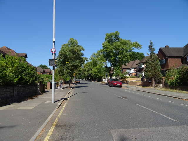
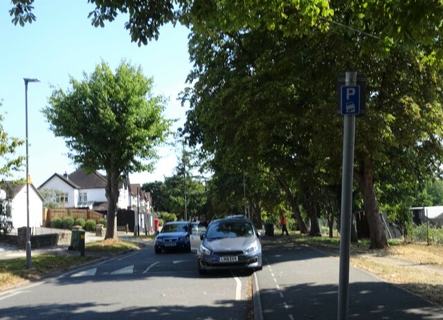
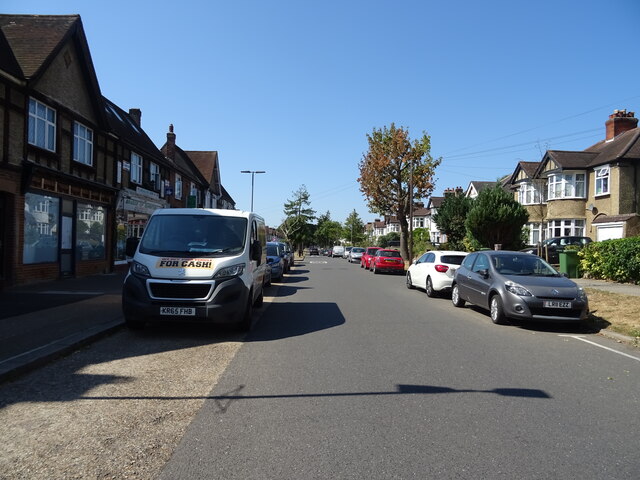
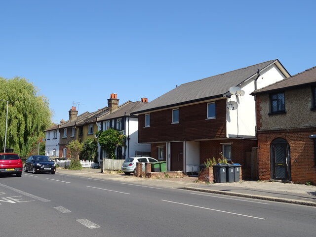
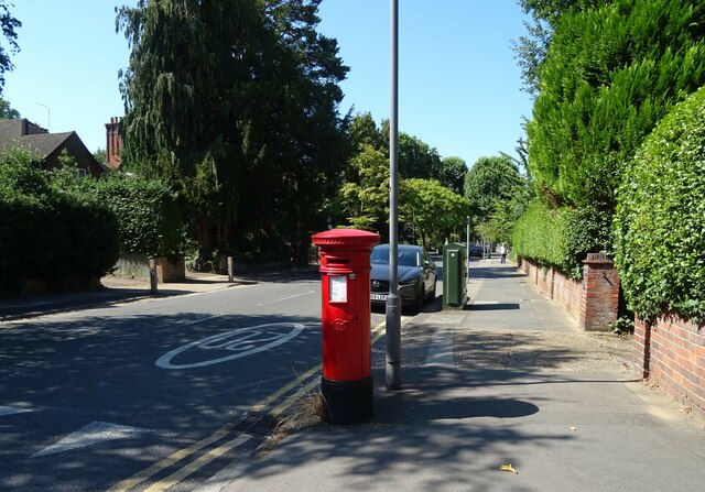
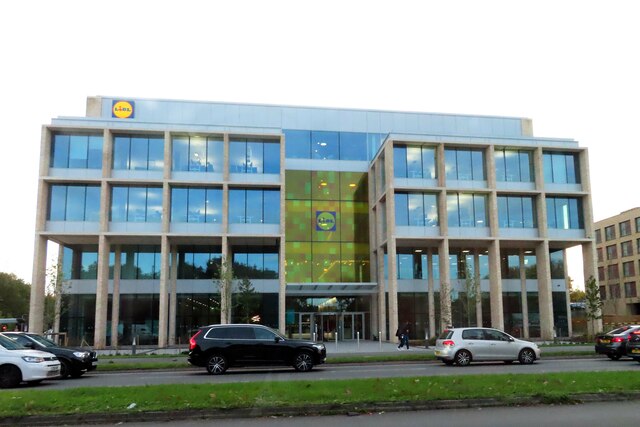
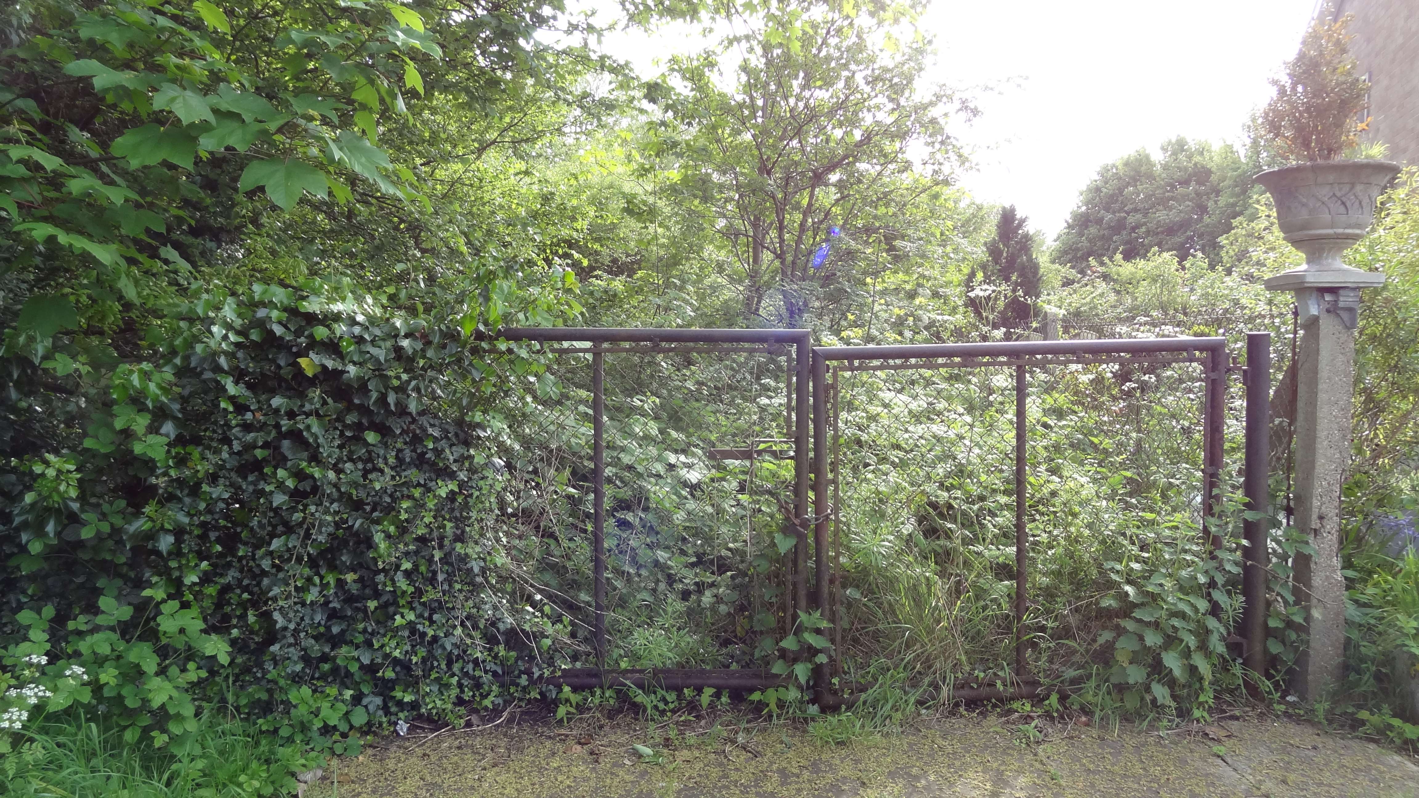
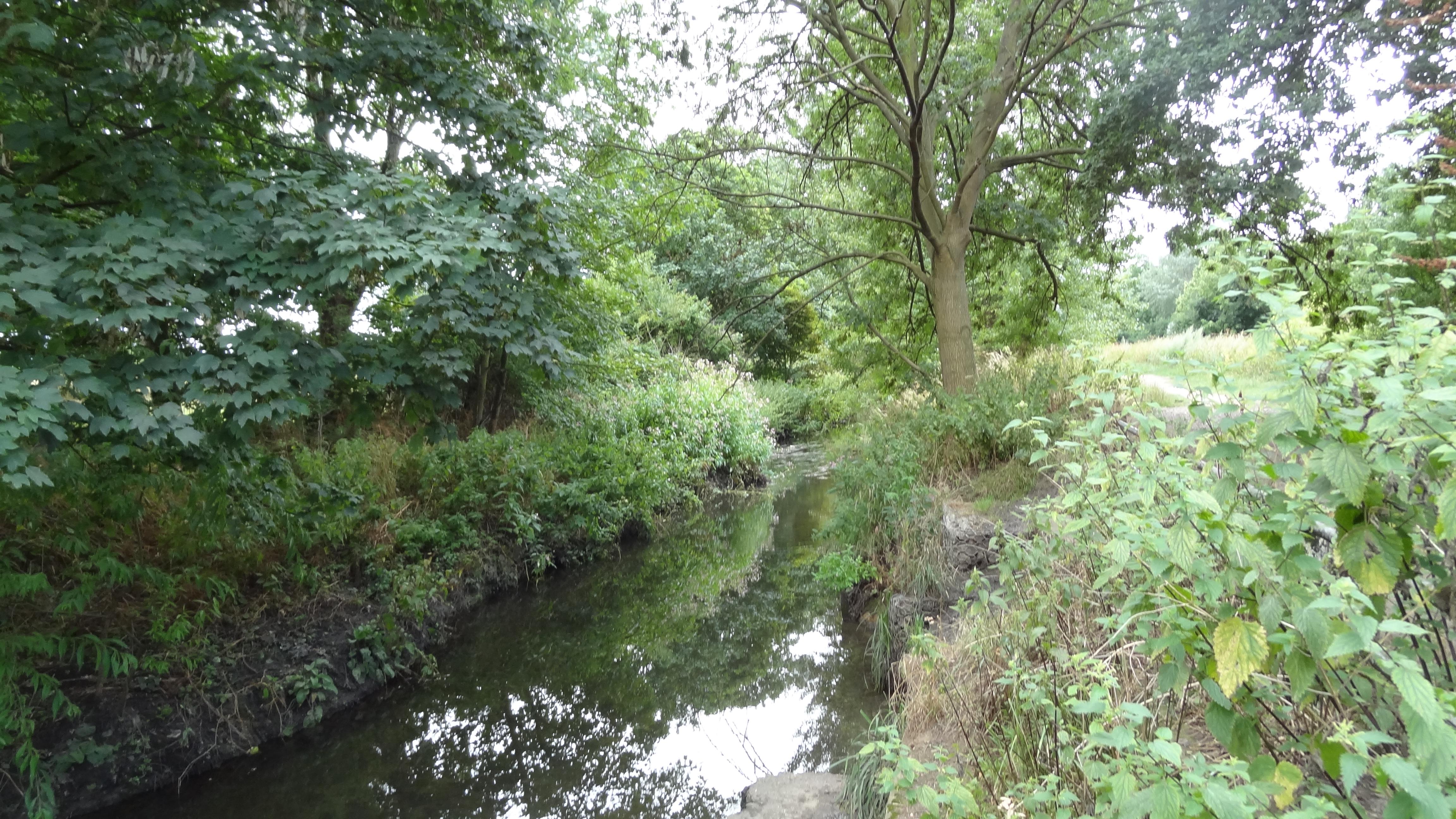
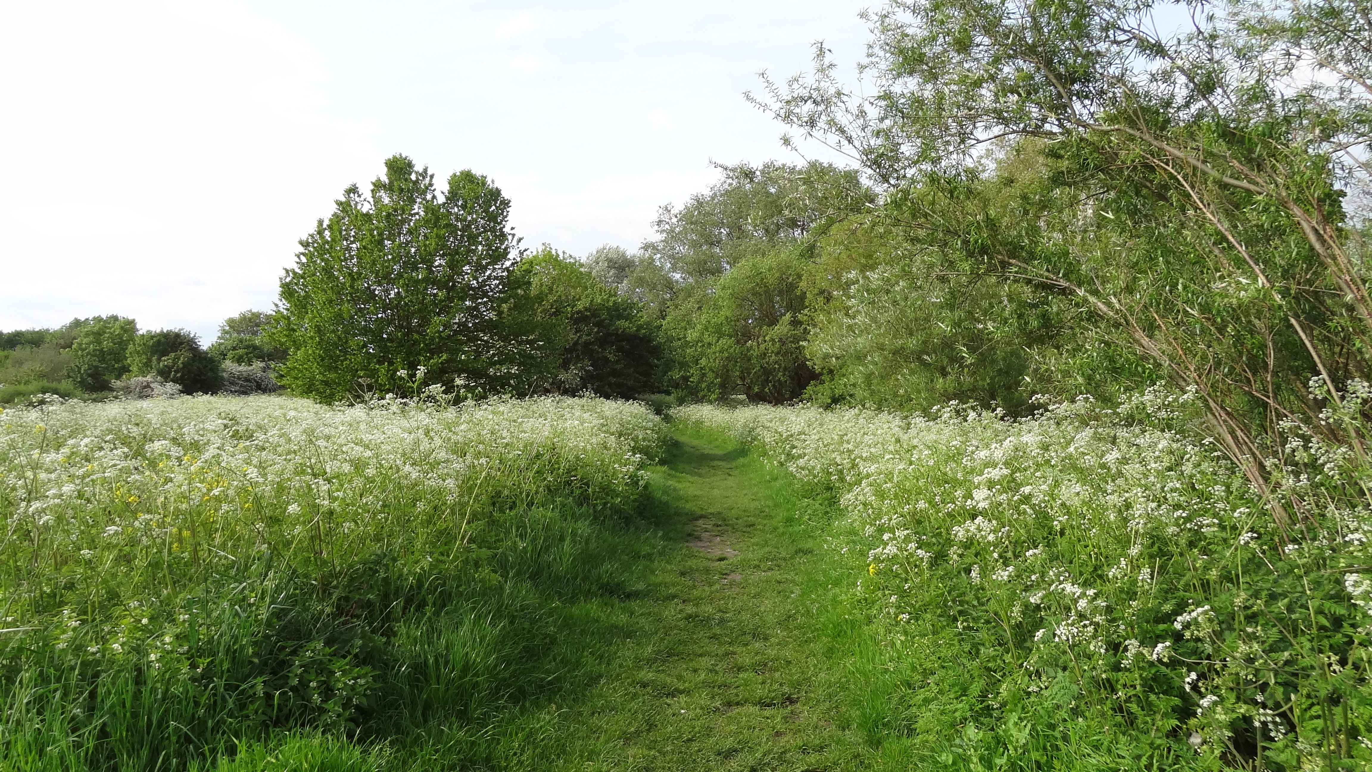
Berrylands Images

Images are sourced within 2km of 51.390647/-0.282189 or Grid Reference TQ1967. Thanks to Geograph Open Source API. All images are credited.

Bridge over Upper Brighton Road
House on  Lovelace Road, Surbiton
House on Lovelace Road, Surbiton
Lovelace Road, Surbiton
Mini roundabout on the A3210, Surbiton
Kingsdowne Road, A3210, Surbiton
Houses on Alexandra Drive, Surbiton
Alexandra Drive, Surbiton
Houses on Alexandra Drive, Surbiton
Alexandra Drive, Surbiton
Raeburn Avenue, Surbiton
Houses on Kingston Road
Kingston Road (A2043)
George V postbox on Alexandra Drive, Surbiton Postbox No. KT5 209.
George V postbox on Alexandra Drive, Surbiton
Postbox No. KT5 209.
George V postbox on Raeburn Avenue, Surbiton Postbox No. KT5 224.
George V postbox on Raeburn Avenue, Surbiton
Postbox No. KT5 224.
Victorian postbox on Lovelace Road, Surbiton Postbox No. KT6 50.
See <a href="https://www.geograph.org.uk/photo/7259160">TQ1766 : Lovelace Road, Surbiton</a> for context.
Victorian postbox on Lovelace Road, Surbiton
Postbox No. KT6 50. See TQ1766 : Lovelace Road, Surbiton for context.
Lovelace Road, Surbiton Showing position of Postbox No. KT6 50.
See <a href="https://www.geograph.org.uk/photo/7259158">TQ1766 : Victorian postbox on Lovelace Road, Surbiton</a> for postbox.
Lovelace Road, Surbiton
Showing position of Postbox No. KT6 50. See TQ1766 : Victorian postbox on Lovelace Road, Surbiton for postbox.
Lidl House on Kingston Road Lidl House is the headquarters of Lidl UK.
Lidl House on Kingston Road
Lidl House is the headquarters of Lidl UK.
Show me another place!

Berrylands is located at Grid Ref: TQ1967 (Lat: 51.390647, Lng: -0.282189)

Unitary Authority: Kingston upon Thames

Police Authority: Metropolitan

What 3 Words

///twins.unity.dice. Near Surbiton, London

Nearby Locations

Berrylands Surbiton Hill

Related Wikis

Royal Borough of Kingston upon Thames

The Royal Borough of Kingston upon Thames is a borough in southwest London. The main town is Kingston upon Thames and it includes Chessington, Malden Rushett...
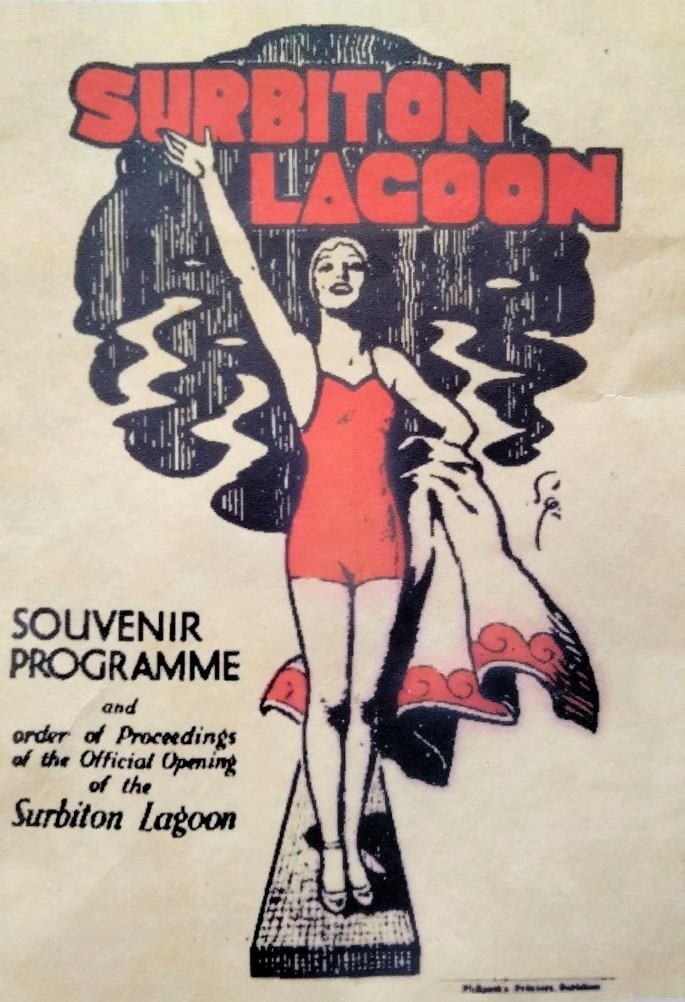
Surbiton Lagoon

Surbiton Lagoon was an open air swimming pool located in Surbiton, London, England. It opened in May 1934 though had been open for business since April...

Edith Gardens

Edith Gardens is a 0.44 hectares (1.1 acres) Local Nature Reserve and Site of Local Importance for Nature Conservation in Berrylands in the Royal Borough...

Raeburn Open Space

Raeburn Open Space, locally known as Berrylands Nature Reserve, is a 5-hectare Local Nature Reserve and Site of Borough Importance for Nature Conservation...

Berrylands

Berrylands is a residential neighbourhood in Surbiton, London, originally forming part of the Municipal Borough of Surbiton, and since 1965 part of the...

Elmbridge Open Space

Elmbridge Open Space or Elmbridge Meadows is a Local Nature Reserve in Berrylands in the Royal Borough of Kingston upon Thames in London. It is a linear...

Hogsmill River Park

Hogsmill River Park or Hogsmill Valley is a linear park along the banks of the Hogsmill River in the Royal Borough of Kingston upon Thames in London. It...

Rose Walk

Rose Walk is a 2.7 hectare Local Nature Reserve in Berrylands in the Royal Borough of Kingston upon Thames in London. It is also part of the Hogsmill Valley...

Nearby Amenities

Located within 500m of 51.390647,-0.282189
Traffic Calming: bump
Lat/Long: 51.3895629/-0.2839212
Traffic Calming: table
Lat/Long: 51.391996/-0.2843123
Turning Circle
Lat/Long: 51.3925601/-0.2865422
Ref GB Tflcid: RWG132441
Traffic Calming: table
Lat/Long: 51.3888003/-0.288722
Ref GB Tflcid: RWG132445
Traffic Calming: hump
Lat/Long: 51.3890185/-0.2881918
Traffic Calming: table
Lat/Long: 51.3940475/-0.2832748
Addr Street: Alexandra Drive
Lat/Long: 51.3885542/-0.2835489
Barrier: bollard
Foot: yes
Lat/Long: 51.3917143/-0.2799384
Barrier: bollard
Foot: yes
Lat/Long: 51.3917159/-0.2799863
Recycling
Location: overground
Recycling Type: container
Lat/Long: 51.3901136/-0.2823202
Post Box
Collection Times: Mo-Fr 17:15; Sa 12:00
Operator: Royal Mail
Operator Wikidata: Q638098
Post Box Type: pillar
Ref: KT5 241
Royal Cypher: GR
Royal Cypher Wikidata: Q33102273
Lat/Long: 51.3901526/-0.2824469
Addr Housenumber: 26
Lat/Long: 51.3917807/-0.2883059
Bus Stop
Edith Gardens
Bench: yes
Bin: yes
Bus: yes
Departures Board: realtime
Lit: yes
Naptan AtcoCode: 490006436N
Naptan Bearing: N
Naptan CommonName: Surbiton Lagoon
Naptan Street: RAEBURN AVENUE
Naptan Verified: no
Public Transport: platform
Ref: 47526
Shelter: yes
Source Ref: naptan
Tactile Paving: no
Wheelchair: yes
Lat/Long: 51.3892331/-0.2816779
Bus Stop
Edith Gardens
Bench: yes
Bin: yes
Bus: yes
Departures Board: yes
Lit: yes
Naptan AtcoCode: 490006436S
Naptan Bearing: N
Naptan CommonName: Surbiton Lagoon
Naptan Street: RAEBURN AVENUE
Naptan Verified: no
Public Transport: platform
Ref: 58931
Shelter: yes
Source Ref: naptan
Tactile Paving: no
Wheelchair: yes
Lat/Long: 51.3894799/-0.2816398
Bus Stop
Pine Gardens
Bench: yes
Bus: yes
Naptan AtcoCode: 490011006N
Naptan Bearing: N
Naptan CommonName: Pine Gardens
Naptan Street: RAEBURN AVENUE
Naptan Verified: no
Public Transport: platform
Ref: 50871
Shelter: yes
Source Ref: naptan
Tactile Paving: no
Lat/Long: 51.3923868/-0.2819549
Bus Stop
Pine Gardens
Bench: yes
Bin: no
Bus: yes
Naptan AtcoCode: 490011006S
Naptan Bearing: N
Naptan CommonName: Pine Gardens
Naptan Street: RAEBURN AVENUE
Naptan Verified: no
Public Transport: platform
Ref: 71240
Shelter: yes
Source Ref: naptan
Tactile Paving: no
Lat/Long: 51.3914816/-0.281983
Bus Stop
Southcote Avenue
Bench: yes
Bin: no
Departures Board: yes
Lit: yes
Naptan AtcoCode: 490012262N
Naptan Bearing: N
Naptan CommonName: Southcote Avenue (KUT)
Naptan Street: RAEBURN AVENUE
Naptan Verified: no
Public Transport: platform
Shelter: yes
Tactile Paving: no
Lat/Long: 51.3866519/-0.2807016
Bus Stop
Southcote Avenue
Bench: yes
Bin: no
Lit: yes
Naptan AtcoCode: 490012262S
Naptan Bearing: N
Naptan CommonName: Southcote Avenue (KUT)
Naptan Street: RAEBURN AVENUE
Naptan Verified: no
Public Transport: platform
Shelter: yes
Tactile Paving: no
Lat/Long: 51.3865513/-0.2805334
Ref GB Tflcid: RWG132345
Traffic Calming: hump
Lat/Long: 51.3877325/-0.2871535
Berrylands
Place: suburb
Population: 9437
Wikidata: Q957632
Wikipedia: en:Berrylands
Lat/Long: 51.3937811/-0.2848024
Addr Housenumber: 30
Addr Street: Alexandra Drive
Lat/Long: 51.388114/-0.285772
Addr Housenumber: 42
Addr Street: Alexandra Drive
Lat/Long: 51.3885689/-0.2851897
Addr Housenumber: 46
Addr Street: Alexandra Drive
Lat/Long: 51.388681/-0.2850334
Addr Housenumber: 58
Addr Street: Alexandra Drive
Lat/Long: 51.389036/-0.2844878
Addr Housenumber: 62
Addr Street: Alexandra Drive
Lat/Long: 51.3891377/-0.2843315
Addr Housenumber: 80
Addr Street: Alexandra Drive
Lat/Long: 51.3896775/-0.2834998
Pharmacy
Pearcare Pharmacy
Addr City: Surbiton
Addr Housenumber: 86
Addr Postcode: KT5 9AG
Addr Street: Alexandra Drive
Check Date: 2023-09-24
Dispensing: yes
Healthcare: pharmacy
Payment Mastercard: yes
Payment Visa: yes
Shop: chemist
Lat/Long: 51.3898257/-0.2832245
Barrier: swing_gate
Foot: yes
Lat/Long: 51.3917621/-0.2818644
Barrier: swing_gate
Lat/Long: 51.3919255/-0.2780481
Entrance: yes
Lat/Long: 51.391713/-0.2798649
Entrance: yes
Lat/Long: 51.3917484/-0.2789951
Traffic Calming: bump
Lat/Long: 51.3945705/-0.2830069
Crossing
Crossing: marked
Crossing Island: no
Crossing Markings: yes
Kerb: lowered
Tactile Paving: yes
Lat/Long: 51.3918787/-0.2819479
Traffic Calming: bump
Lat/Long: 51.3901335/-0.2866904
Entrance: main
Lat/Long: 51.3925889/-0.2867278
Entrance: main
Lat/Long: 51.3924373/-0.2871393
Entrance: main
Lat/Long: 51.3917282/-0.2794277
Post Box
Collection Times: Mo-Fr 09:00; Sa 07:00
Operator: Royal Mail
Operator Wikidata: Q638098
Post Box Type: pillar
Ref: KT5 277D
Royal Cypher: GR
Royal Cypher Wikidata: Q33102273
Lat/Long: 51.3921454/-0.2843182
Post Box
Collection Times: Mo-Fr 09:00; Sa 07:00
Operator: Royal Mail
Operator Wikidata: Q638098
Post Box Type: pillar
Ref: KT5 224D
Royal Cypher: GR
Royal Cypher Wikidata: Q33102273
Lat/Long: 51.393604/-0.2816762
Post Box
Collection Times: Mo-Fr 09:00; Sa 07:00
Operator: Royal Mail
Operator Wikidata: Q638098
Post Box Type: pillar
Ref: KT5 270D
Royal Cypher: GR
Royal Cypher Wikidata: Q33102273
Lat/Long: 51.3908203/-0.277557
Post Box
Access: yes
Collection Times: Mo-Fr 17:15; Sa 12:00
Covered: no
Drive Through: no
Indoor: no
Material: metal
Operator: Royal Mail
Operator Wikidata: Q638098
Post Box Type: pillar
Ref: KT5 223
Royal Cypher: GR
Royal Cypher Wikidata: Q33102273
Support: tower
Lat/Long: 51.386966/-0.2808166
Post Office
Alexandra Drive Post Office
Addr Postcode: KT5 9AG
Branch: Alexandra Drive
Brand: Post Office
Brand Wikidata: Q1783168
Check Date: 2020-02-20
Contact Website: https://www.postoffice.co.uk/branch-finder/0510238/alexandra-drive
Ref Pol Id: 17976
Lat/Long: 51.3900742/-0.2824252
Ref GB Tflcid: RWG132536
Traffic Calming: hump
Lat/Long: 51.3887158/-0.2813761
Ref GB Tflcid: RWG132347
Traffic Calming: hump
Lat/Long: 51.3880618/-0.2862559
Ref GB Tflcid: RWG134689
Traffic Calming: hump
Lat/Long: 51.3904195/-0.2826
Ref GB Tflcid: RWG134692
Traffic Calming: hump
Lat/Long: 51.3911085/-0.2854197
Ref GB Tflcid: RWG132351
Traffic Calming: hump
Lat/Long: 51.3888813/-0.2849391
Bicycle Parking
Bicycle Parking: stands
Capacity: 6
Ref GB Tflcid: RWG124885
Lat/Long: 51.3897695/-0.2834536
Bicycle Parking
Bicycle Parking: stands
Capacity: 6
Ref GB Tflcid: RWG125432
Lat/Long: 51.3898931/-0.2819859
Bicycle Parking
Bicycle Parking: stands
Capacity: 6
Covered: no
Ref GB Tflcid: RWG125433
Lat/Long: 51.390144/-0.2825117
Communication Mobile Phone: yes
Man Made: mast
Tower Type: communication
Lat/Long: 51.3902334/-0.282353
Animal Boarding
Berrylands Cattery
Check Date: 2023-09-24
Payment Mastercard: yes
Payment Visa: yes
Lat/Long: 51.3898826/-0.282101
Alex Convenience Store
Addr City: Surbiton
Addr Housenumber: 110
Addr Postcode: KT5 9AG
Addr Street: Alexandra Drive
Check Date: 2023-09-24
Fhrs Id: 1471000
Payment Mastercard: yes
Payment Visa: yes
Shop: convenience
Source Addr: FHRS Open Data
Lat/Long: 51.389926/-0.2821404
HICL
Check Date: 2023-09-24
Office: company
Lat/Long: 51.3899824/-0.2822111
Social Facility
Surbiton Home Care Management
Check Date: 2023-09-24
Social Facility: assisted_living
Social Facility For: senior
Lat/Long: 51.3900298/-0.2829346
Prep School
AVK Tuition Centre
Check Date: 2023-09-24
Lat/Long: 51.3899831/-0.283018
Fast Food
Batterfly
Addr City: Surbiton
Addr Housenumber: 90
Addr Postcode: KT5 9AG
Addr Street: Alexandra Drive
Check Date: 2023-09-24
Cuisine: fish_and_chips
Fhrs Id: 1587857
Source Addr: FHRS Open Data
Lat/Long: 51.3899371/-0.2831005
Cafe
Café Rosa
Addr City: Surbiton
Addr Housenumber: 106
Addr Postcode: KT5 9AG
Addr Street: Alexandra Drive
Check Date: 2023-09-24
Fhrs Id: 1385259
Source Addr: FHRS Open Data
Lat/Long: 51.3900428/-0.2823119
Washtub
Check Date: 2023-09-24
Payment Cards: no
Payment Credit Cards: no
Payment Debit Cards: no
Self Service: yes
Shop: laundry
Wheelchair: no
Lat/Long: 51.3900901/-0.2826076
Emma's Hair of Surbiton
Check Date: 2023-09-24
Payment Mastercard: yes
Payment Visa: yes
Shop: hairdresser
Lat/Long: 51.3900931/-0.2827055
Berrylands Dry Cleaners
Check Date: 2023-09-24
Payment Mastercard: yes
Payment Visa: yes
Shop: dry_cleaning
Lat/Long: 51.3897244/-0.2833539
Check Date: 2023-09-24
Payment Mastercard: yes
Payment Visa: yes
Shop: motorcycle
Lat/Long: 51.3898809/-0.2831534
Berrylands Convenience Store
Addr Street: Alexandra Drive
Check Date: 2023-09-24
Shop: convenience
Lat/Long: 51.3897767/-0.2833003
The data included in this document is from www.openstreetmap.org. The data is made available under ODbL.

Have you been to Berrylands?

Leave your review of Berrylands below (or comments, questions and feedback).