Broom Hillock
Hill, Mountain in Banffshire
Scotland
Broom Hillock
Broom Hillock is a prominent hill located in Banffshire, Scotland. Standing at an elevation of approximately 393 meters (1,289 feet), it offers stunning panoramic views of the surrounding countryside. Situated near the village of Cuminestown, Broom Hillock is a popular destination for hikers, nature enthusiasts, and outdoor adventurers.
The hill is characterized by its gently sloping terrain, covered in a thick carpet of heather, grasses, and wildflowers. The landscape is dotted with scattered boulders, adding a touch of ruggedness to the otherwise serene setting. At its summit, a trig point marks the highest point, providing a reference point for surveying and navigation purposes.
The ascent to the top of Broom Hillock is relatively moderate, making it accessible to hikers of varying abilities. Along the way, walkers can enjoy the peacefulness of the area, as it is not heavily trafficked. Birdwatchers may also spot various species of birds, including kestrels and buzzards, soaring through the skies above.
The hill's location in Banffshire adds to its allure, as the region is known for its picturesque landscapes and rich history. Visitors can explore nearby attractions such as the historic town of Banff or the stunning coastline along the Moray Firth.
Overall, Broom Hillock offers a tranquil and rewarding outdoor experience, with its breathtaking views and tranquil surroundings. Whether for a leisurely stroll or a more challenging hike, this hill is a delightful destination for nature lovers and those seeking a moment of serenity in the Scottish countryside.
If you have any feedback on the listing, please let us know in the comments section below.
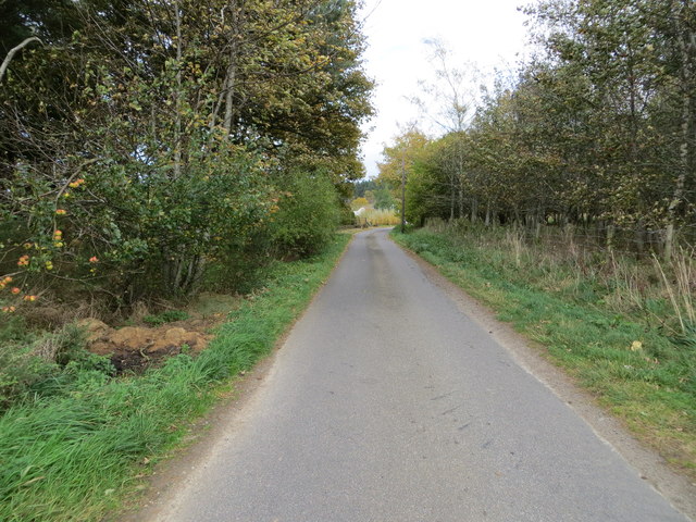
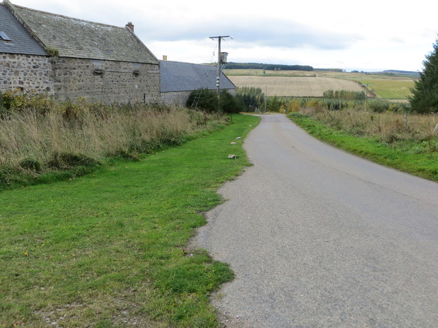
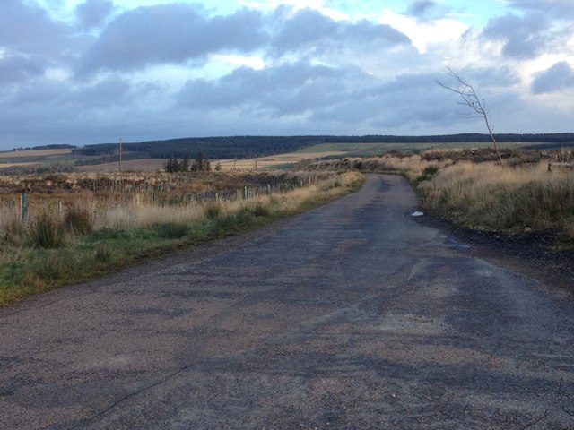
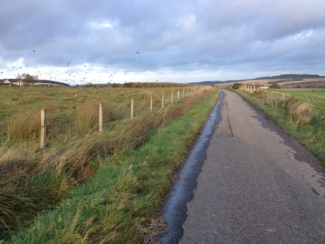
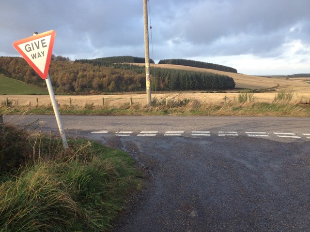
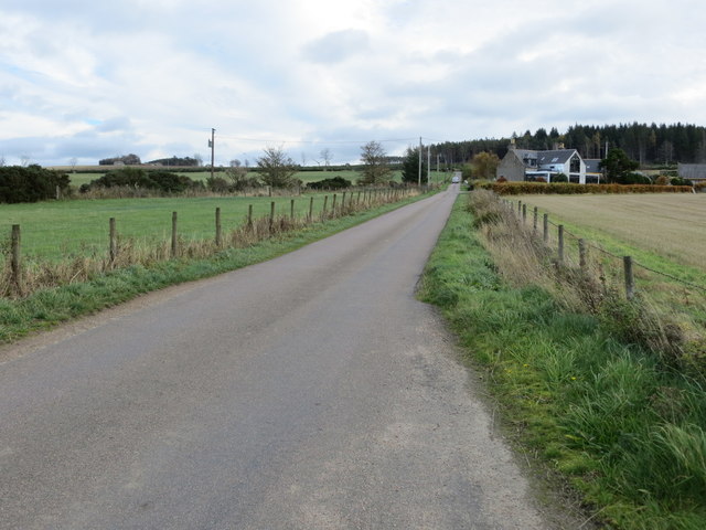
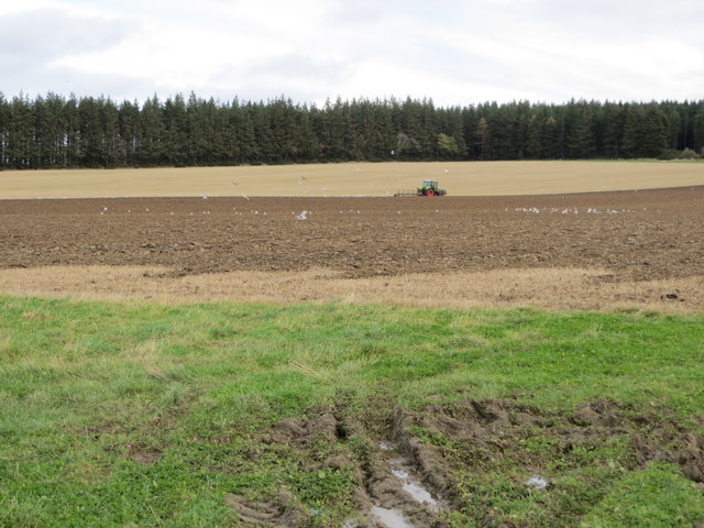
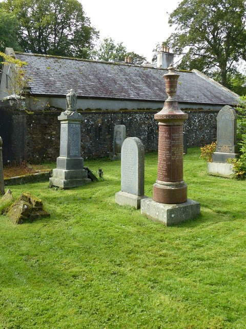
Broom Hillock Images
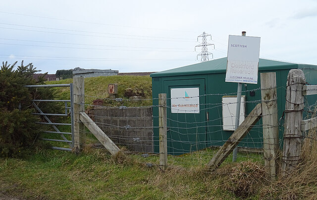
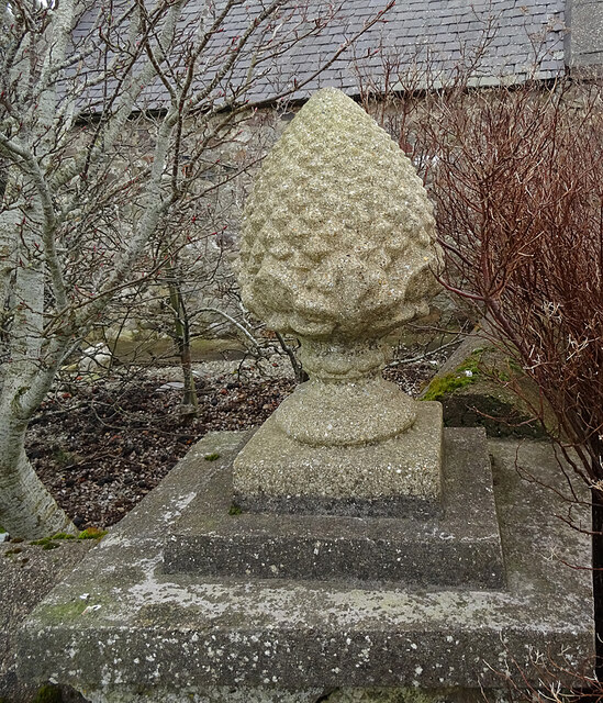
Images are sourced within 2km of 57.630856/-2.833097 or Grid Reference NJ5060. Thanks to Geograph Open Source API. All images are credited.


Broom Hillock is located at Grid Ref: NJ5060 (Lat: 57.630856, Lng: -2.833097)
Unitary Authority: Moray
Police Authority: North East
What 3 Words
///deputy.september.sobs. Near Cullen, Moray
Nearby Locations
Related Wikis

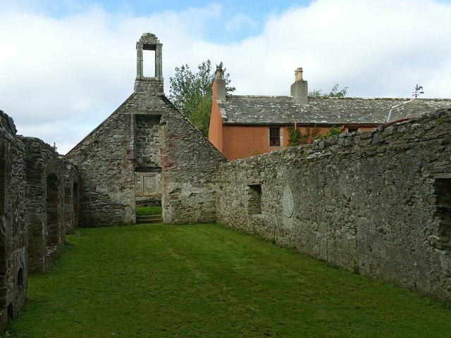
Deskford Tower
Tower of Deskford was a 14th-century tower house, about 3.5 miles (5.6 km) south of Cullen, Moray, Scotland at Deskford, west of the burn. The tower and...

Deskford
Deskford (Scottish Gaelic: Deasgard) is a parish and a small settlement in Moray, Scotland, formerly in Banffshire. A number of significant historical...

Battle of Bauds
Battle of Bauds was a battle fought in 962 in an area known as the Bauds, south of Findochty and west of Cullen near Portknockie, Scotland between Scotland...

Bin of Cullen
Bin of Cullen or Bin Hill (Scottish Gaelic: Am Binnean) is a hill in Moray, Scotland directly inland from Findochty. Bin of Cullen is 320 m in height and...
Related Videos
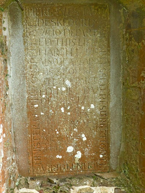
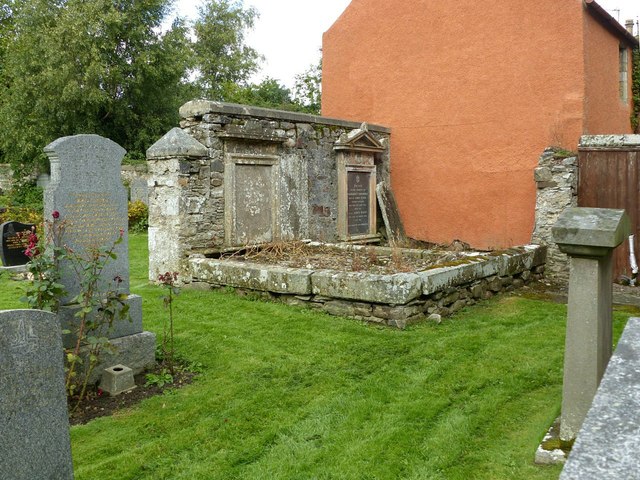
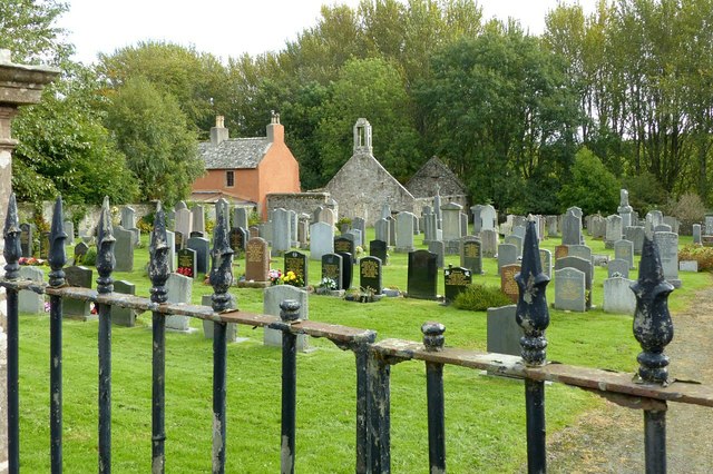
𝔇𝔢𝔰𝔨𝔣𝔬𝔯𝔡 𝔎𝔦𝔯𝔨, 𝔅𝔲𝔠𝔨𝔦𝔢, 𝔐𝔬𝔯𝔞𝔶𝔰𝔥𝔦𝔯𝔢, 𝔈𝔵𝔭𝔩𝔬𝔯𝔦𝔫𝔤 𝔖𝔠𝔬𝔱𝔩𝔞𝔫𝔡'𝔰 ℌ𝔦𝔰𝔱𝔬𝔯𝔶
Deskford Kirk, Buckie, Morayshire, Exploring Scotland's History Deskford Kirk, the Old Church of St John is a few miles from ...
HOW COOL IS THIS WAR TRUMPET
shorts #deskfordcarnyx #archaeology #ancienthistory #scotland #scottishhistory #edutainment #scottish #celtic #celticbritain ...
Nearby Amenities
Located within 500m of 57.630856,-2.833097Have you been to Broom Hillock?
Leave your review of Broom Hillock below (or comments, questions and feedback).