Monkland, New
Settlement in Lanarkshire
Scotland
Monkland, New
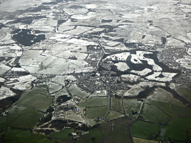
Monkland, New, Lanarkshire is a small village located in the central lowlands of Scotland. Situated in the Monklands district, it is nestled between the towns of Airdrie and Coatbridge. The village is well-known for its historical significance in the industrial revolution, particularly in the cotton industry.
During the late 18th century, Monkland, New, Lanarkshire became a thriving center for cotton production due to its proximity to coal mines and the Monkland Canal. The village saw the establishment of several cotton mills, which brought about a significant increase in population and economic growth. The cotton industry in Monkland, New, Lanarkshire continued to flourish well into the 19th century, attracting workers from all over Scotland and beyond.
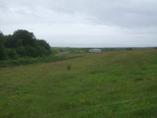
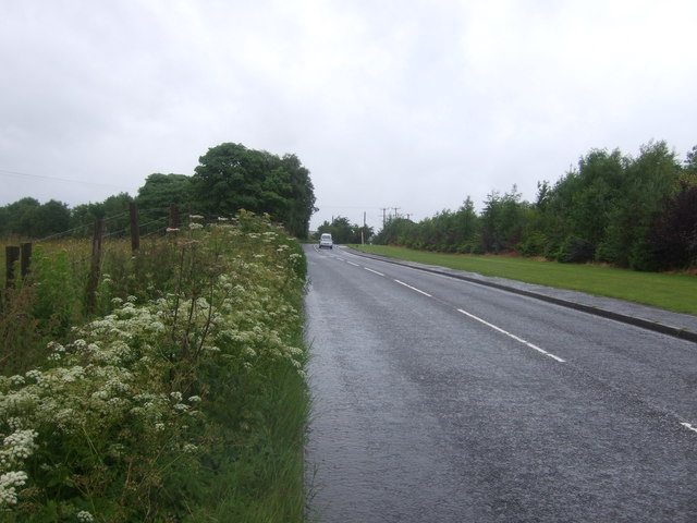
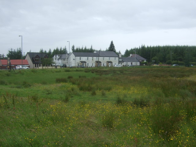
Today, the village retains remnants of its industrial past, with some mills converted into residential buildings or repurposed for other commercial activities. Monkland, New, Lanarkshire has a small but close-knit community, with a range of amenities including shops, pubs, and local schools. The village is surrounded by picturesque countryside, offering opportunities for outdoor activities such as walking, cycling, and fishing.
Monkland, New, Lanarkshire is also known for its rich cultural heritage. The nearby New Lanark World Heritage Site is a testament to the village's industrial history, with well-preserved cotton mills and workers' housing providing visitors with an insight into the past. The site also includes an interactive museum that explores the social and environmental impact of the industrial revolution.
In conclusion, Monkland, New, Lanarkshire is a charming village with a fascinating industrial history. Its cotton industry heritage, coupled with its picturesque surroundings, makes it an attractive destination for both history enthusiasts and nature lovers.
If you have any feedback on the listing, please let us know in the comments section below.
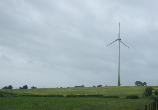
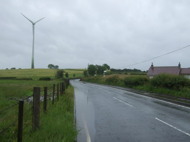
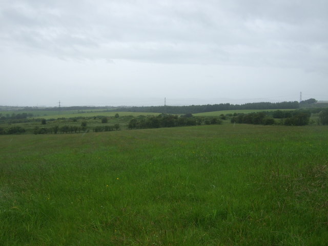
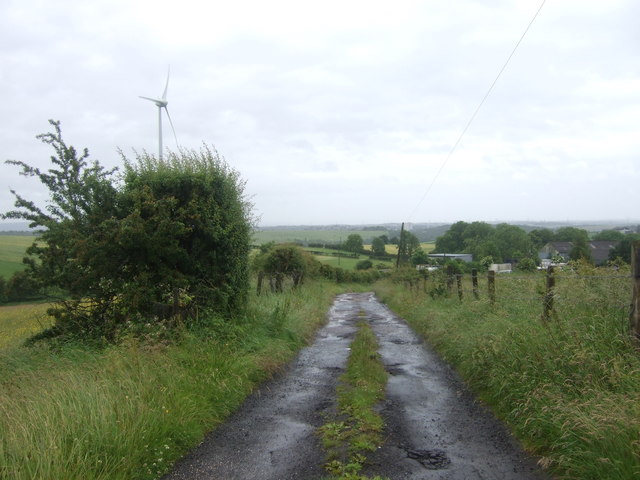
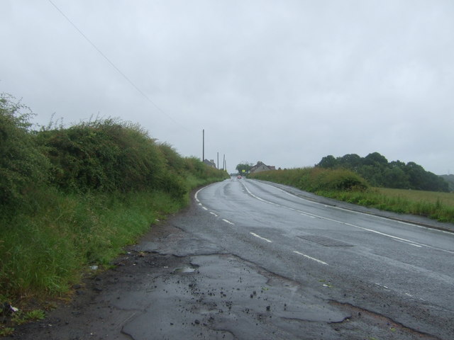
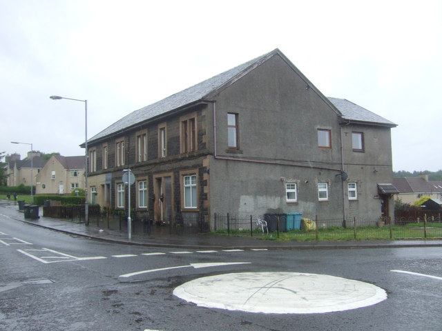
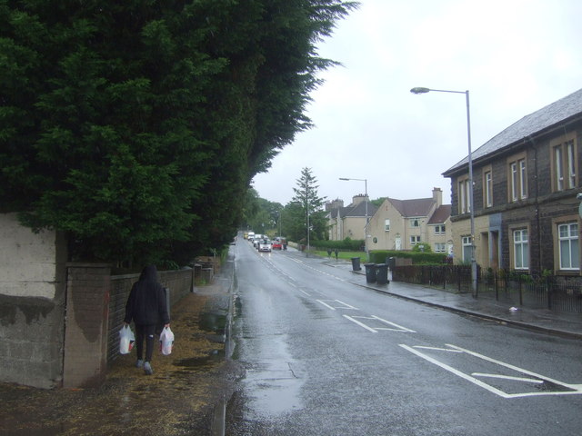
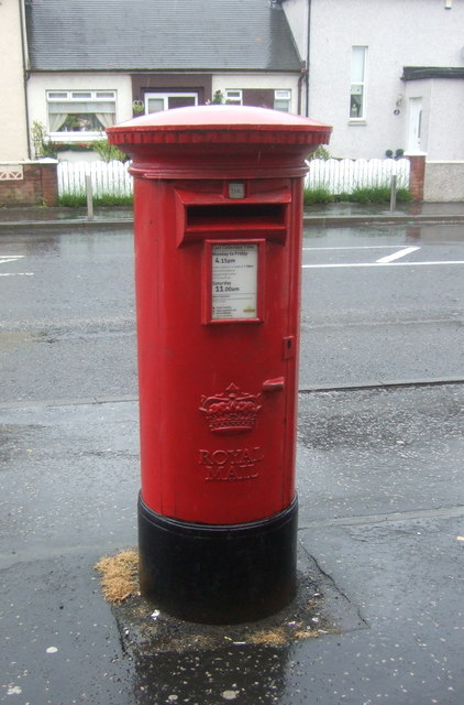
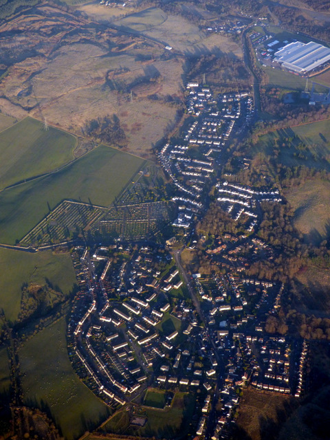
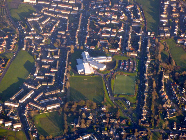
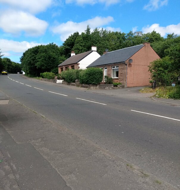
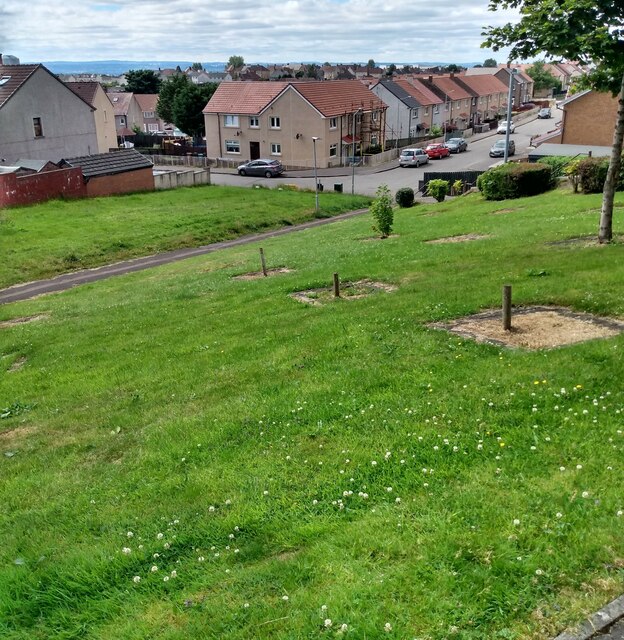
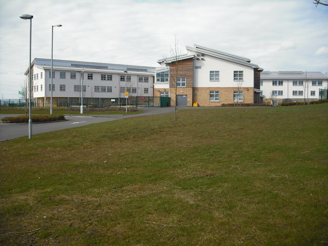
Monkland, New Images
Images are sourced within 2km of 55.887001/-3.9929929 or Grid Reference NS7567. Thanks to Geograph Open Source API. All images are credited.

Monkland, New is located at Grid Ref: NS7567 (Lat: 55.887001, Lng: -3.9929929)
Unitary Authority: North Lanarkshire
Police Authority: Lanarkshire
What 3 Words
///chucked.applied.scripted. Near Glenmavis, North Lanarkshire
Nearby Locations
Related Wikis

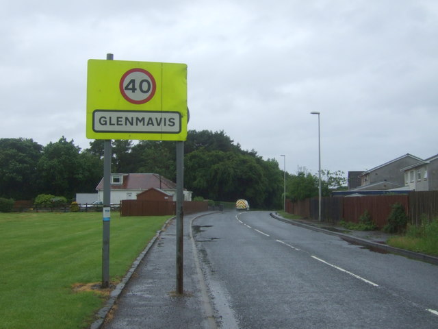
Glenmavis
Glenmavis is a village in the North Lanarkshire area of Scotland. It is about two miles (three kilometres) northwest of Airdrie on the B802 road. It has...

Stand, North Lanarkshire
Stand is a hamlet in North Lanarkshire, Scotland situated on the A73 near Airdrie. Its Ordnance Survey grid reference is NS7668.The village appeared on...
Airdrie Academy
Airdrie Academy is a secondary school within Airdrie, North Lanarkshire, Scotland. == Admissions == It has a current roll of approximately 1,100 pupils...
Commonhead railway station
Commonhead (Airdrie North) railway station, was a railway station in Airdrie, Scotland. It was built in 1828, as part of the Ballochney Railway. it was...
Airdrie Leaend railway station
Airdrie Leaend railway station served the town of Airdrie, North Lanarkshire, Scotland from 1828 to 1843 on the Hallcraig Street branch. == History... ==
Rawyards railway station
Rawyards railway station served the area of Rawyards, North Lanarkshire, Scotland, from 1845 to 1930 on the Ballochney Railway. == History == The station...
Gartcairn F. A. Juniors
Gartcairn Football Academy Juniors, commonly referred to as Gartcairn Juniors, are a Scottish semi-professional football club from the town of Airdrie...
Gartcairn W.F.C.
Gartcairn W.F.C. is a Scottish women's football team based in Airdrie, North Lanarkshire that play in the SWPL 2. == History == The team was established...
Nearby Amenities
Located within 500m of 55.887001,-3.9929929Have you been to Monkland, New?
Leave your review of Monkland, New below (or comments, questions and feedback).