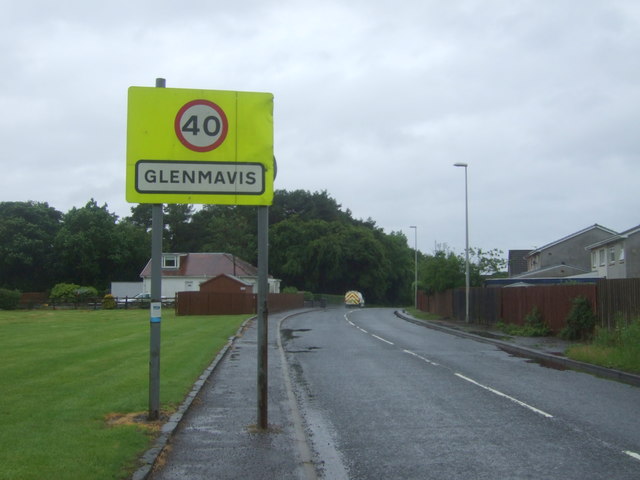
Glenmavis

Settlement in Lanarkshire

Scotland

Glenmavis

Glenmavis from the air Braidenhill Farm is in the foreground.
Glenmavis from the air Credit: Thomas Nugent

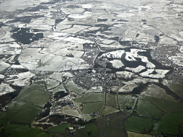
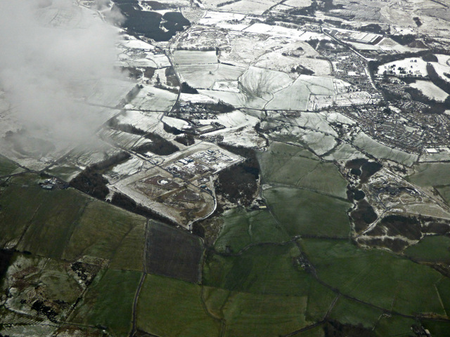
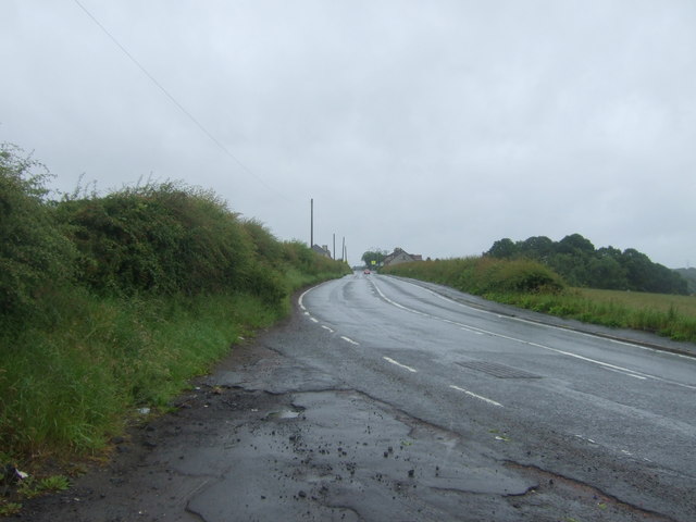
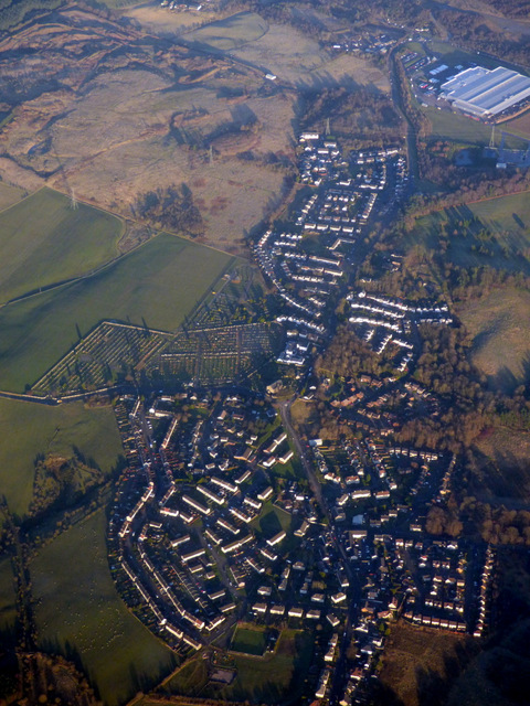
Glenmavis is a small village located in the county of Lanarkshire, Scotland. Situated approximately 3 miles south of Airdrie, Glenmavis is surrounded by picturesque countryside and offers a tranquil setting for its residents. The village is well-connected to nearby towns and cities, with easy access to major road networks such as the M8 and A73.

Glenmavis has a rich history, with evidence of human occupation dating back to prehistoric times. The village was once known for its coal mining industry, which thrived from the 19th century until its decline in the mid-20th century. Today, remnants of this industrial past can still be seen in the form of old mine entrances and colliery buildings.

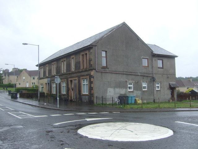
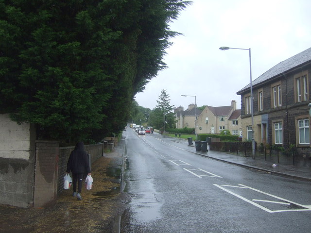
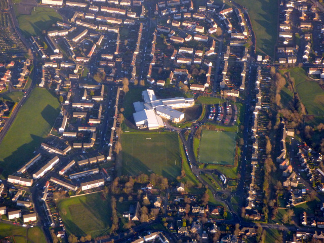
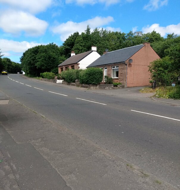
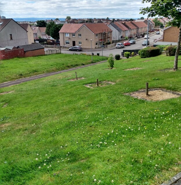
The village itself is characterized by a mix of traditional stone-built cottages and more modern housing developments. It boasts a close-knit community and a range of amenities, including a primary school, a local shop, and a community center. Residents of Glenmavis also have access to recreational facilities such as parks and sports clubs, providing opportunities for outdoor activities and fostering a sense of community spirit.

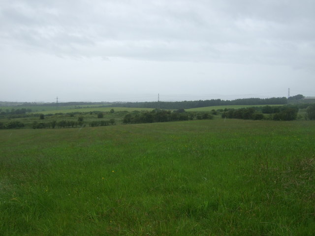
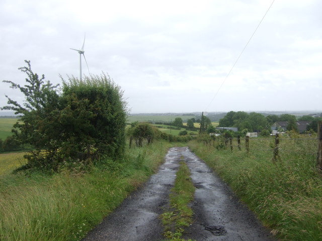
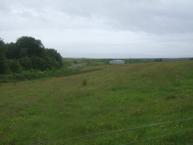
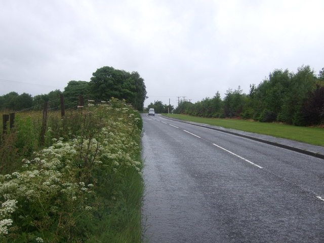
Surrounded by rolling hills and countryside, Glenmavis offers ample opportunities for outdoor enthusiasts, with numerous walking and cycling trails nearby. The nearby Drumpellier Country Park is a popular attraction, offering a beautiful loch, woodland walks, and a variety of wildlife. For those seeking a livelier atmosphere, the nearby towns of Airdrie and Coatbridge offer a wider range of amenities, including shopping centers, leisure facilities, and a variety of restaurants and pubs.

In conclusion, Glenmavis is a charming village in Lanarkshire, offering a peaceful and picturesque setting for its residents. With a rich history, a close-knit community, and a range of amenities and outdoor activities, Glenmavis provides a welcoming and idyllic place to call home.

If you have any feedback on the listing, please let us know in the comments section below.
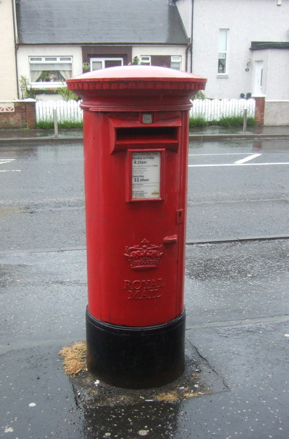
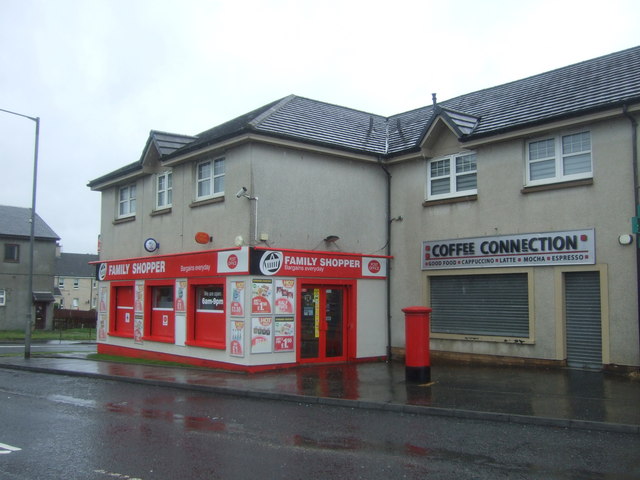
Glenmavis Images

Images are sourced within 2km of 55.88645/-3.996002 or Grid Reference NS7567. Thanks to Geograph Open Source API. All images are credited.

Glenmavis from the air Braidenhill Farm is in the foreground.
Glenmavis from the air
Braidenhill Farm is in the foreground.
Former Glenmavis gas storage site from the air The site was decommissioned in 2011. See a ground-level photo here <a href="https://www.geograph.org.uk/photo/1449653">NS7468 : Natural Gas Storage Tanks</a>.
Former Glenmavis gas storage site from the air
The site was decommissioned in 2011. See a ground-level photo here NS7468 : Natural Gas Storage Tanks.
Fields and wind turbine Off Coatbridge Road.
Fields and wind turbine
Off Coatbridge Road.
Coatbridge Road (B803) Looking north east.
Coatbridge Road (B803)
Looking north east.
Grassland, Dryflat
Grassland, Dryflat
Track to Dryflat Looking west from Coatbridge Road.
Track to Dryflat
Looking west from Coatbridge Road.
Coatbridge Road (B803) Looking north east.
Coatbridge Road (B803)
Looking north east.
Houses on Coatbridge Road (B803), Glenmavis
Coatbridge Road (B803), Glenmavis Looking north east.
Coatbridge Road (B803), Glenmavis
Looking north east.
Entering Glenmavis Looking south west on Raebog Road (B803).
Entering Glenmavis
Looking south west on Raebog Road (B803).
Grassland, Raebog Off Raebog Road (B803).
Grassland, Raebog
Off Raebog Road (B803).
Raebog Road (B803) Looking north east.
Raebog Road (B803)
Looking north east.
Elizabethan postbox outside Glenmavis Post Office Postbox No. ML6 24.
Elizabethan postbox outside Glenmavis Post Office
Postbox No. ML6 24.
Glenmavis Post Office On Coatbridge Road.

Showing position of Postbox No. ML6 24.
Glenmavis Post Office
On Coatbridge Road. Showing position of Postbox No. ML6 24.
Glenmavis from the air Looking along the B806 Raebog Road from a Glasgow bound flight from Prague.
Glenmavis from the air
Looking along the B806 Raebog Road from a Glasgow bound flight from Prague.
Airdrie Academy from the air In the Thrashbush area of Airdrie.
Airdrie Academy from the air
In the Thrashbush area of Airdrie.
Cottages on Stirling Road In the 19th century this was Baird Street
Cottages on Stirling Road
In the 19th century this was Baird Street
Housing estate: Holehills Corner of Holehills Drive and Holehills Place
Housing estate: Holehills
Corner of Holehills Drive and Holehills Place
Show me another place!

Glenmavis is located at Grid Ref: NS7567 (Lat: 55.88645, Lng: -3.996002)

Unitary Authority: North Lanarkshire

Police Authority: Lanarkshire

What 3 Words

///swims.boomed.owes. Near Glenmavis, North Lanarkshire

Related Wikis

Glenmavis

Glenmavis is a village in the North Lanarkshire area of Scotland. It is about two miles (three kilometres) northwest of Airdrie on the B802 road. It has...

Stand, North Lanarkshire

Stand is a hamlet in North Lanarkshire, Scotland situated on the A73 near Airdrie. Its Ordnance Survey grid reference is NS7668.The village appeared on...
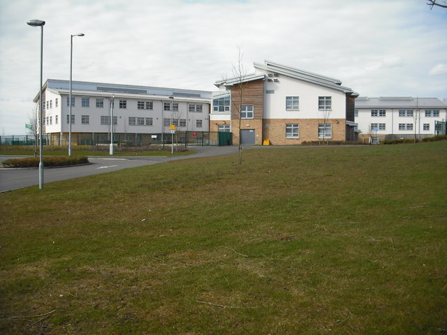
Airdrie Academy

Airdrie Academy is a secondary school within Airdrie, North Lanarkshire, Scotland. == Admissions == It has a current roll of approximately 1,100 pupils...

Airdrie Leaend railway station

Airdrie Leaend railway station served the town of Airdrie, North Lanarkshire, Scotland from 1828 to 1843 on the Hallcraig Street branch. == History... ==

Related Videos

Charlie Oot&aboot At Go Outdoors Coatbridge

Checking out the sale at Coatbridge Go Outdoors: and picking up Gas ?

Sunset in Centenary park airdrie

A nice wee evening buzz round centenery park in airdrie its a really nice little park i will have to do a second video when all the ...

Halloween Futura Style!

This is a wee video showcasing some of the things we do at our stores for Halloween.

Nearby Amenities

Located within 500m of 55.88645,-3.996002
Glenmavis
Is In: North Lanarkshire
Place: village
Postal Code: ML6
Lat/Long: 55.8864105/-3.9958428
Crossing
Crossing: traffic_signals
Lat/Long: 55.883882/-3.9990943
Mini Roundabout
Direction: clockwise
Lat/Long: 55.8864091/-3.9959556
Mini Roundabout
Lat/Long: 55.8843899/-3.9984534
Mini Roundabout
Lat/Long: 55.8876235/-3.9909416
Turning Circle
Lat/Long: 55.8845629/-3.9954089
Mini Roundabout
Direction: clockwise
Lat/Long: 55.8869985/-3.9929265
Post Box
Lat/Long: 55.8862771/-4.00085
Ele: 160
Natural: peak
Source: GPS
Lat/Long: 55.8860363/-3.9898662
Parking
Lat/Long: 55.8838641/-3.9984897
Parking
Lat/Long: 55.8835948/-3.9989454
Bus Stop
Glenmavis, Glenmavis Road before Coatbridge Road
Bus: yes
Departures Board: timetable
Public Transport: platform
Shelter: no
Lat/Long: 55.8836317/-3.9975589
Bus Stop
Glenmavis, Glenmavis Road after Coatbridge Road
Bus: yes
Departures Board: timetable
Public Transport: platform
Shelter: no
Lat/Long: 55.8834904/-3.997164
Bus Stop
Glenmavis, Waddell Avenue after Rydenmains Road
Bus: yes
Departures Board: timetable
Public Transport: platform
Shelter: no
Lat/Long: 55.8840778/-4.0010321
Bus Stop
Glenmavis, Waddell Avenue at Rydenmains Road
Bus: yes
Departures Board: timetable
Naptan AtcoCode: 61601111
Naptan NaptanCode: 65236435
Public Transport: platform
Shelter: no
Lat/Long: 55.8844951/-4.0015164
Bus Stop
Glenmavis, Waddell Avenue before Kirkstyle Place
Bus: yes
Departures Board: timetable
Naptan AtcoCode: 61601604
Naptan NaptanCode: 65236257
Public Transport: platform
Shelter: no
Lat/Long: 55.8851059/-4.0008489
Bus Stop
Glenmavis, Waddell Avenue opp Quaryside Street
Bus: yes
Departures Board: timetable
Naptan AtcoCode: 61601110
Naptan NaptanCode: 65234689
Public Transport: platform
Shelter: no
Lat/Long: 55.8858545/-4.0008081
Bus Stop
Glenmavis, Rydenmains Road at 35 Rydenmains Road
Bus: yes
Departures Board: timetable
Naptan AtcoCode: 61601714
Naptan NaptanCode: 65298972
Public Transport: platform
Shelter: no
Lat/Long: 55.887187/-3.9991741
Bus Stop
Glenmavis, Rydenmains Road opp 35 Rydenmains Road
Bus: yes
Departures Board: timetable
Naptan AtcoCode: 61601715
Naptan NaptanCode: 65238687
Public Transport: platform
Shelter: no
Lat/Long: 55.8872422/-3.9992878
Bus Stop
Glenmavis, Condorrat Road opp Rydenmains Road
Bus: yes
Departures Board: timetable
Public Transport: platform
Shelter: yes
Lat/Long: 55.8877679/-3.9971251
Bus Stop
Glenmavis, Cathie Drive opp Irvine Street
Bus: yes
Departures Board: timetable
Naptan AtcoCode: 61601108
Naptan NaptanCode: 65234953
Public Transport: platform
Shelter: yes
Lat/Long: 55.8881098/-3.9897168
Bus Stop
Glenmavis, Cathie Drive Before Balmoral Drive
Bus: yes
Departures Board: no
Naptan AtcoCode: 61602110
Naptan NaptanCode: 65275427
Public Transport: platform
Shelter: no
Lat/Long: 55.8881771/-3.9897444
The data included in this document is from www.openstreetmap.org. The data is made available under ODbL.

Have you been to Glenmavis?

Leave your review of Glenmavis below (or comments, questions and feedback).