New Monkland
Settlement in Lanarkshire
Scotland
New Monkland
New Monkland is a small parish located in the county of Lanarkshire, Scotland. It is situated about 12 miles east of Glasgow and covers an area of approximately 15 square miles. The parish is bordered by the towns of Airdrie to the north, Coatbridge to the west, and Calderbank to the south.
New Monkland is known for its rich history, with evidence of human settlement dating back to prehistoric times. The area was heavily influenced by the coal mining industry, which thrived in the 19th and early 20th centuries. Many collieries were established in New Monkland, attracting a significant influx of workers and contributing to the growth of nearby towns.
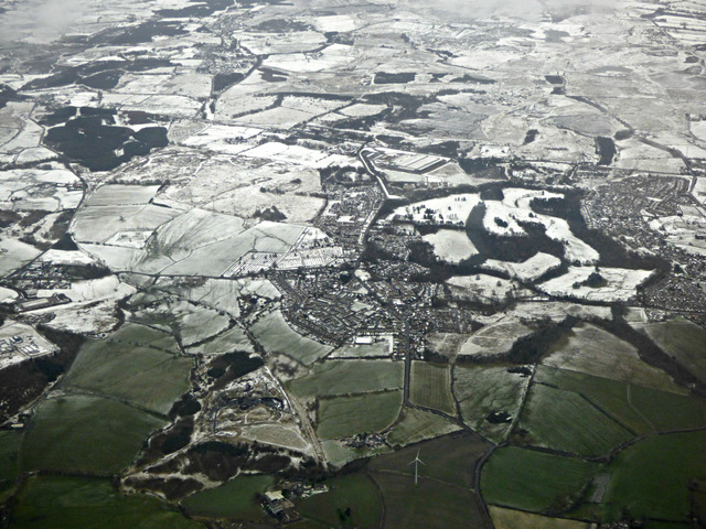
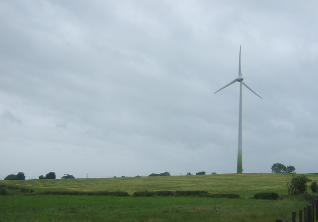
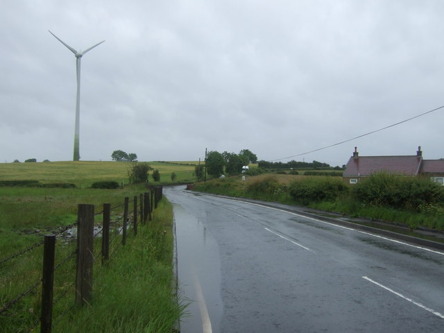
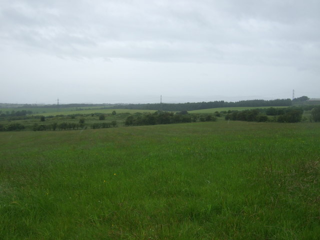
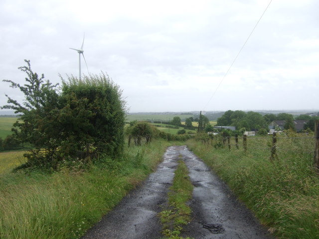
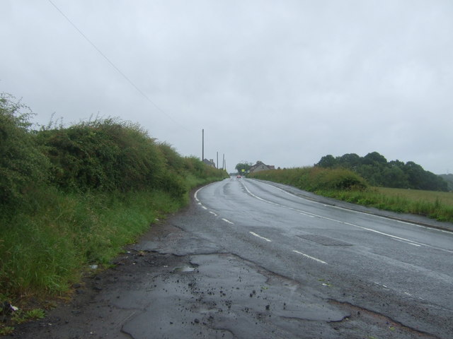
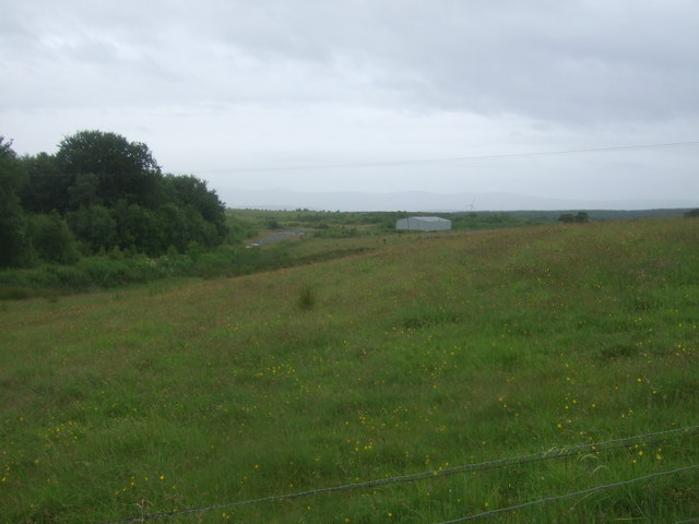
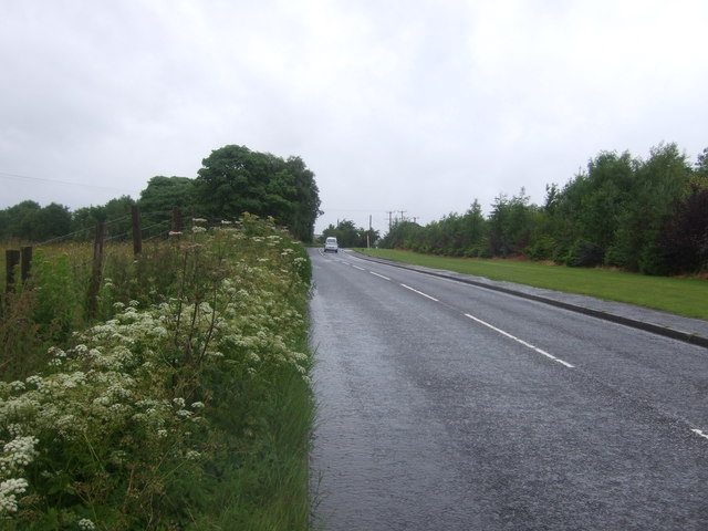
The landscape of New Monkland is characterized by rolling hills, open fields, and scattered woodland areas. The area is traversed by several rivers and streams, including the North Calder Water and the Gartsherrie Burn. These waterways, along with the surrounding natural beauty, provide ample opportunities for outdoor activities such as fishing, hiking, and birdwatching.
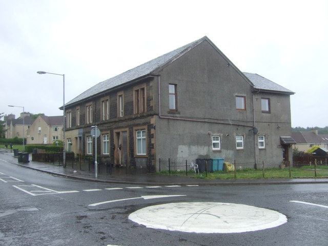
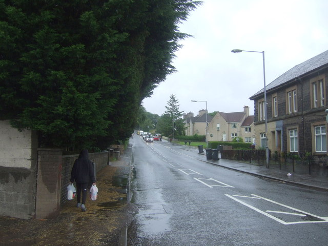
In terms of amenities, New Monkland offers a range of services to its residents. There are several primary schools and secondary schools in the area, ensuring access to quality education. The parish is also well-served by public transportation, with regular bus services connecting it to nearby towns and cities.
Overall, New Monkland is a picturesque parish with a rich history and a close-knit community. Its natural beauty, combined with its convenient location, makes it an attractive place to live for those seeking a balance between rural tranquility and easy access to urban amenities.
If you have any feedback on the listing, please let us know in the comments section below.
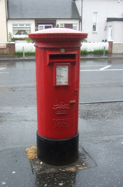
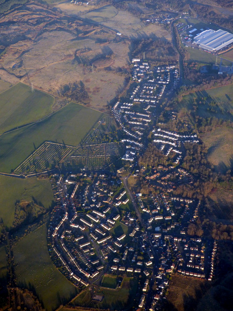
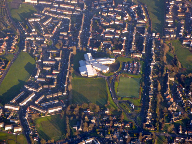
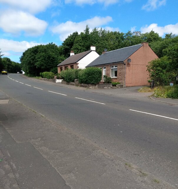
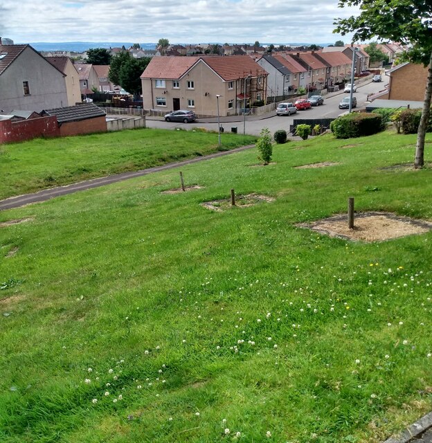
New Monkland Images
Images are sourced within 2km of 55.887001/-3.9929929 or Grid Reference NS7567. Thanks to Geograph Open Source API. All images are credited.

New Monkland is located at Grid Ref: NS7567 (Lat: 55.887001, Lng: -3.9929929)
Unitary Authority: North Lanarkshire
Police Authority: Lanarkshire
What 3 Words
///chucked.applied.scripted. Near Glenmavis, North Lanarkshire
Nearby Locations
Related Wikis

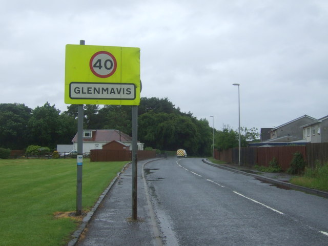
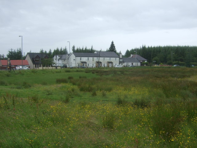
Glenmavis
Glenmavis is a village in the North Lanarkshire area of Scotland. It is about two miles (three kilometres) northwest of Airdrie on the B802 road. It has...

Stand, North Lanarkshire
Stand is a hamlet in North Lanarkshire, Scotland situated on the A73 near Airdrie. Its Ordnance Survey grid reference is NS7668.The village appeared on...
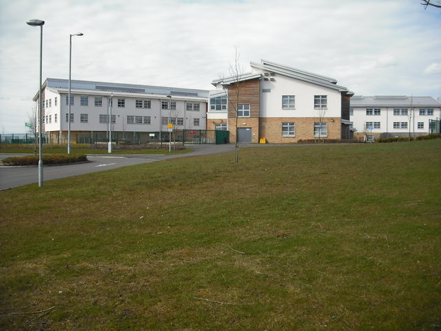
Airdrie Academy
Airdrie Academy is a secondary school within Airdrie, North Lanarkshire, Scotland. == Admissions == It has a current roll of approximately 1,100 pupils...
Commonhead railway station
Commonhead (Airdrie North) railway station, was a railway station in Airdrie, Scotland. It was built in 1828, as part of the Ballochney Railway. it was...
Nearby Amenities
Located within 500m of 55.887001,-3.9929929Have you been to New Monkland?
Leave your review of New Monkland below (or comments, questions and feedback).