Y Mot

Settlement in Pembrokeshire

Wales

Y Mot

Ordnance Survey Cut Mark This OS cut mark can be found on the East face of buttress on the south face of St Nicholas Church. It marks a point 157.795m above mean sea level.
Ordnance Survey Cut Mark Credit: Adrian Dust

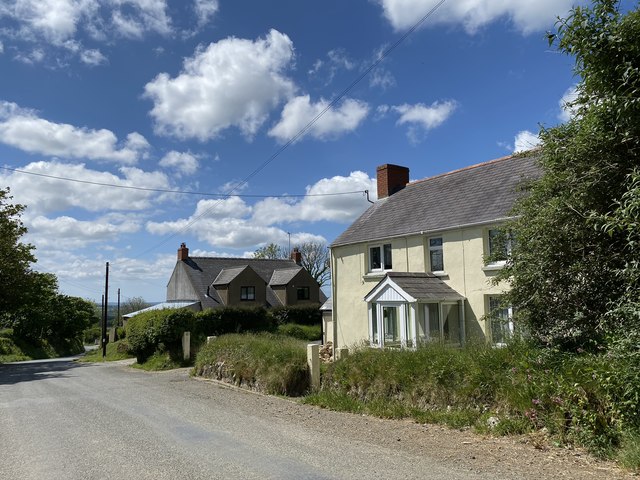
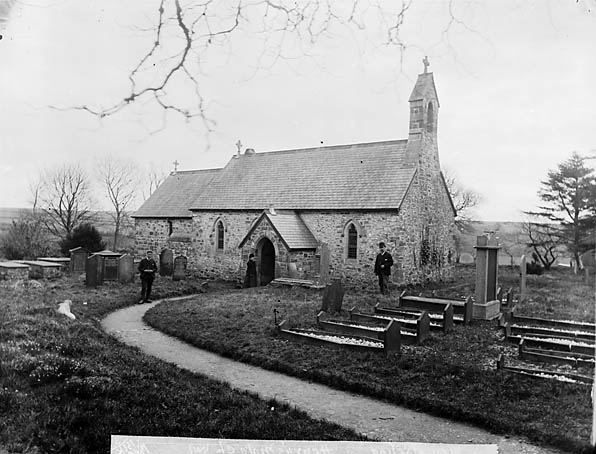
Y Mot is a picturesque coastal village located in Pembrokeshire, a county in southwestern Wales. Situated on the shores of Cardigan Bay, Y Mot offers stunning views of the Irish Sea and is celebrated for its natural beauty and tranquil atmosphere.

The village is known for its sandy beaches, which attract both locals and tourists alike. The golden shores provide the perfect spot for sunbathing, picnicking, and leisurely walks along the coastline. The clear waters of Y Mot also make it ideal for water sports such as swimming, surfing, and kayaking.

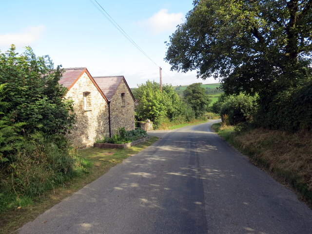
Y Mot is home to a small, tight-knit community that prides itself on preserving the area's traditional charm. Visitors can expect to find charming cottages, quaint shops, and friendly locals who are always happy to share their knowledge of the village's history and culture.

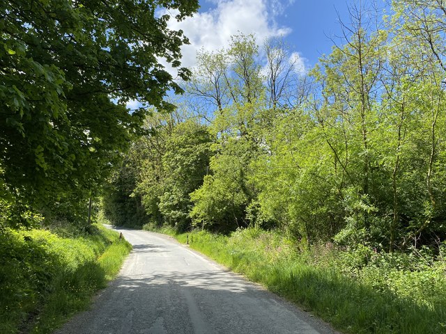
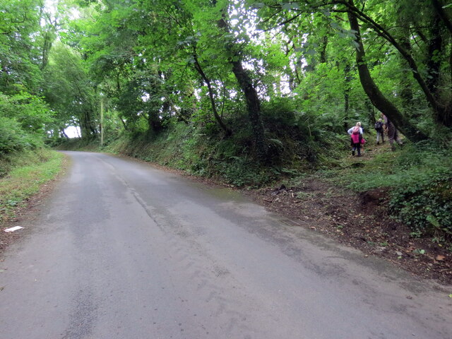
For nature enthusiasts, Y Mot offers easy access to the nearby Pembrokeshire Coast National Park, a designated Area of Outstanding Natural Beauty. The park is a haven for hikers and nature lovers, with its rugged cliffs, hidden coves, and diverse wildlife.

The village also boasts a range of amenities to cater to visitors' needs. From cozy bed and breakfasts to charming cafes and restaurants, Y Mot provides a warm welcome to those seeking a peaceful and idyllic getaway.

Overall, Y Mot is a hidden gem in Pembrokeshire, offering a serene coastal retreat and a chance to immerse oneself in the beauty of the Welsh countryside.

If you have any feedback on the listing, please let us know in the comments section below.
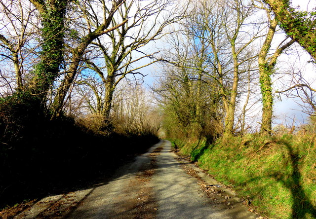
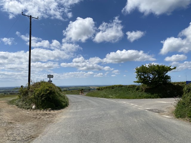
Y Mot Images

Images are sourced within 2km of 51.893454/-4.816583 or Grid Reference SN0625. Thanks to Geograph Open Source API. All images are credited.

Ordnance Survey Cut Mark This OS cut mark can be found on the East face of buttress on the south face of St Nicholas Church. It marks a point 157.795m above mean sea level.
Ordnance Survey Cut Mark
This OS cut mark can be found on the East face of buttress on the south face of St Nicholas Church. It marks a point 157.795m above mean sea level.
Ordnance Survey Cut Mark This OS cut mark can be found on the north angle of the old school. It marks a point 130.963m above mean sea level.
Ordnance Survey Cut Mark
This OS cut mark can be found on the north angle of the old school. It marks a point 130.963m above mean sea level.
Capel Gwastad Chapel This view from the back complements Phillip Halling's shot from the road. The chapel, which was built in 1836, appears to be slate-hung on all sides but as there is a property jammed right up it wasn't possible to get closer. I was informed that the chapel is still used on a monthly basis and for funerals for its presumably ageing congregation in this very rural area, once a heartland of the Welsh Revival.
The chapel is distinguished by its association with local boy William 'Penfro' Rowlands composer of the famous hymn tune Blaenwern. Details about him can be found here <span class="nowrap"><a title="http://daibach-welldigger.blogspot.com/2014/06/the-best-known-revival-hymn-tune.html" rel="nofollow ugc noopener" href="http://daibach-welldigger.blogspot.com/2014/06/the-best-known-revival-hymn-tune.html">Link</a><img style="margin-left:2px;" alt="External link" title="External link - shift click to open in new window" src="https://s1.geograph.org.uk/img/external.png" width="10" height="10"/></span>
Capel Gwastad Chapel
This view from the back complements Phillip Halling's shot from the road. The chapel, which was built in 1836, appears to be slate-hung on all sides but as there is a property jammed right up it wasn't possible to get closer. I was informed that the chapel is still used on a monthly basis and for funerals for its presumably ageing congregation in this very rural area, once a heartland of the Welsh Revival. The chapel is distinguished by its association with local boy William 'Penfro' Rowlands composer of the famous hymn tune Blaenwern. Details about him can be found here LinkExternal link
Looking north from Gwastad Country lane on a sunny afternoon in February, running due north from Capel Gwastad.
Looking north from Gwastad
Country lane on a sunny afternoon in February, running due north from Capel Gwastad.
Farm gate Gate on to farmland at Penlan.
Farm gate
Gate on to farmland at Penlan.
Road to Maenclochog Sharp bend in the road to Maenclochog.
Road to Maenclochog
Sharp bend in the road to Maenclochog.
Honey Hook Quaintly named farm near Maenclochog.
Honey Hook
Quaintly named farm near Maenclochog.
Twmpath Guest House Guest House near Maenclochog for sale.
Twmpath Guest House
Guest House near Maenclochog for sale.
Road junction Turning to Tufton off the road to Clarbeston Road.
Road junction
Turning to Tufton off the road to Clarbeston Road.
Pen lan Houses on the road from Maenclochog to Clarbeston Road.
Pen lan
Houses on the road from Maenclochog to Clarbeston Road.
Woodland road Road through woodland near Parcyreithin.
Woodland road
Road through woodland near Parcyreithin.
Gwastad Chapel Gwastad Calvinistic Methodist Chapel.
Gwastad Chapel
Gwastad Calvinistic Methodist Chapel.
Heol ger Ffarm Forehill / Road near Forehill Farm Heol yn mynd heibio i anhedd-dy ger Ffarm Forehill.

A road passing a property near Fore Hill Farm.
Heol ger Ffarm Forehill / Road near Forehill Farm
Heol yn mynd heibio i anhedd-dy ger Ffarm Forehill. A road passing a property near Fore Hill Farm.
Llwybr Ceffyl yn gadael yr heol / A bridleway exiting a road Llwybr ceffyl yn gadael yr heol ac yn mynd i gyfeiriad Ffarm Brynteg.

A bridleway exits a road and heads in the direction of Brynteg Farm (trans. fair hill).
Llwybr Ceffyl yn gadael yr heol / A bridleway exiting a road
Llwybr ceffyl yn gadael yr heol ac yn mynd i gyfeiriad Ffarm Brynteg. A bridleway exits a road and heads in the direction of Brynteg Farm (trans. fair hill).
Best Kept Village 1987 Plaque by the Church entrance commemorating best kept village awards 1987.
Best Kept Village 1987
Plaque by the Church entrance commemorating best kept village awards 1987.
Gunnera at New Moat This Gunnera plant has grown in this spot in the stream for very many years, spring growth showing the huge flower, the leaves will be well over six feet tall in the summer.
Gunnera at New Moat
This Gunnera plant has grown in this spot in the stream for very many years, spring growth showing the huge flower, the leaves will be well over six feet tall in the summer.
Redundant Mill stone Nice use of a mill stone, Forehill Farm.
Redundant Mill stone
Nice use of a mill stone, Forehill Farm.
Gunnera at New Moat 2 End of the summer and these massive leaves are starting to die back, see <a href="https://www.geograph.org.uk/photo/2880840">SN0625 : Gunnera at New Moat</a> for the same plant in the spring starting to grow.
Gunnera at New Moat 2
End of the summer and these massive leaves are starting to die back, see SN0625 : Gunnera at New Moat for the same plant in the spring starting to grow.
Show me another place!

Y Mot is located at Grid Ref: SN0625 (Lat: 51.893454, Lng: -4.816583)

Unitary Authority: Pembrokeshire

Police Authority: Dyfed Powys

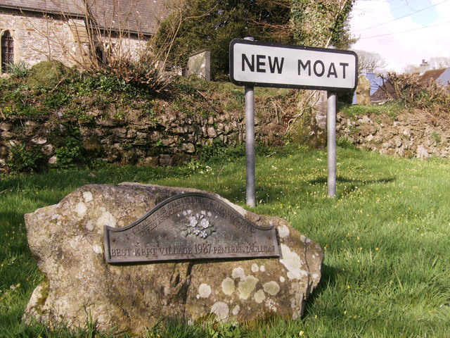
Also known as: New Moat

What 3 Words

///paces.upholding.mattress. Near Ambleston, Pembrokeshire

Related Wikis

New Moat

New Moat (Welsh: Y Mot) is a village, parish and community in Pembrokeshire, Wales. It extends from the southern edges of Mynydd Preseli to the Pembrokeshire...

Maenclochog railway station

Maenclochog railway station served the village of Maenclochog, Pembrokeshire, Wales, from 1876 to 1949 on the Narberth Road and Maenclochog Railway....

Llys y Fran

Llys y Fran is a small village and parish in the community of New Moat on the southern slopes of the Preseli Mountains in Pembrokeshire, Wales. The parish...

Maenclochog

Maenclochog () is a village, parish and community in Pembrokeshire, south-west Wales. It is also the name of an electoral ward comprising a wider area...

Henry's Moat

Henry's Moat is a hamlet and parish in Pembrokeshire, Wales, in the community of Puncheston. It is 7 miles (11 km) southeast of Fishguard and 9 miles...

Bletherston

Bletherston (Welsh: Trefelen) is a small settlement and parish in Pembrokeshire, Wales. It is in the middle of eastern Pembrokeshire, 6 miles (9.7 km)...

Haverfordwest transmitting station

The Haverfordwest transmitting station is a broadcasting and telecommunications facility located at Woodstock about 13 km (8 mi) to the north east of the...

102.5 Radio Pembrokeshire

Radio Pembrokeshire is an Independent Local Radio station that broadcasts to Pembrokeshire. It is owned and operated by Nation Broadcasting and broadcasts...

Nearby Amenities

Located within 500m of 51.893454,-4.816583
New Moat
Is In: Wales,UK
Place: village
Wikidata: Q15262079
Lat/Long: 51.8939524/-4.8161519
Post Box
Operator: Royal Mail
Post Box Type: lamp
Lat/Long: 51.8940826/-4.8166342
Give Way
Direction: backward
Lat/Long: 51.8949191/-4.8110195
Give Way
Direction: forward
Lat/Long: 51.8940726/-4.8163953
Direction: SSW
Generator Method: thermal
Generator Output Hot Water: yes
Generator Solar Modules: 3
Generator Source: solar
Generator Type: solar_thermal_collector
Location: roof
Power: generator
Lat/Long: 51.894486/-4.8178422
Direction: SSW
Generator Method: thermal
Generator Output Hot Water: yes
Generator Solar Modules: 2
Generator Source: solar
Generator Type: solar_thermal_collector
Location: roof
Power: generator
Lat/Long: 51.8944976/-4.8178925
Place Of Worship
Religion: christian
Lat/Long: 51.8919722/-4.8172238
Defibrillator
Defibrillator Location: on outside of bus shelter in New Moat
Emergency: defibrillator
Indoor: no
Lat/Long: 51.8940744/-4.8166915
Bench
Lat/Long: 51.8940575/-4.816688
The data included in this document is from www.openstreetmap.org. The data is made available under ODbL.

Have you been to Y Mot?

Leave your review of Y Mot below (or comments, questions and feedback).