Drive Plantation
Wood, Forest in Pembrokeshire
Wales
Drive Plantation
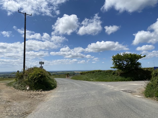
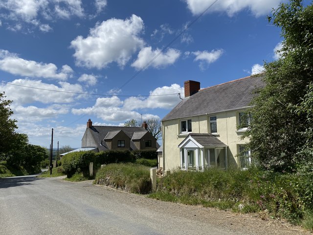
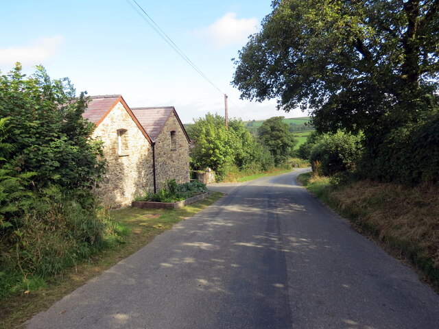
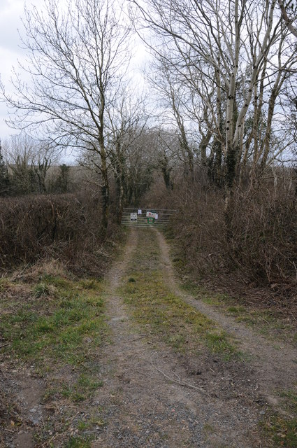
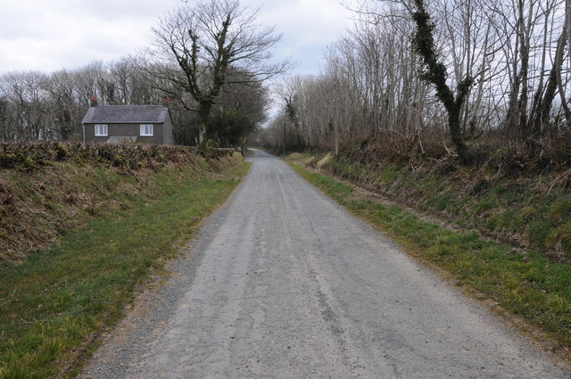
Drive Plantation is a picturesque woodland located in the county of Pembrokeshire, Wales. Spanning over a vast area, this plantation is a haven for nature enthusiasts and those seeking tranquility amidst lush greenery. The plantation is situated near the town of Narberth, making it easily accessible for visitors from nearby areas.
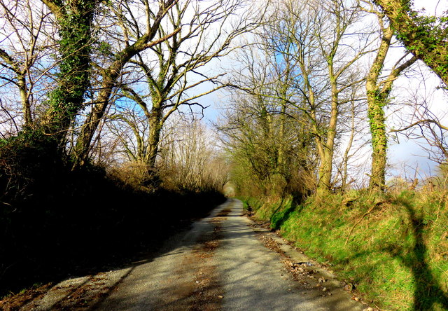
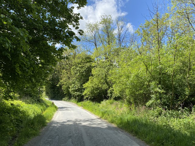
The woodland is primarily composed of native trees such as oak, birch, and beech, which provide a diverse and vibrant ecosystem. The dense canopy of these trees creates a cool and shaded environment, perfect for leisurely walks and exploration. The forest floor is adorned with a variety of wildflowers, adding a splash of color to the surroundings.
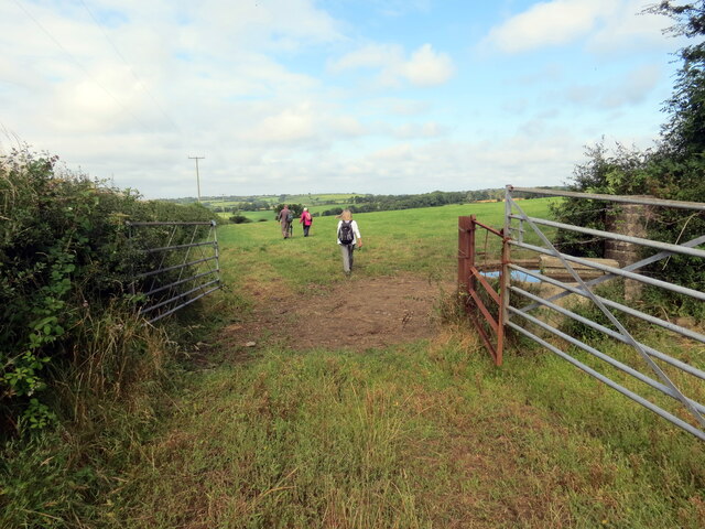
Drive Plantation offers numerous walking trails, varying in length and difficulty, catering to all levels of fitness and interests. These trails are well-maintained and signposted, ensuring visitors can navigate through the woodland without any hassle. Birdwatchers will be delighted to know that the plantation is home to a wide range of bird species, including woodpeckers, tits, and finches, making it an ideal spot for bird spotting.
The plantation is also rich in wildlife, with sightings of deer, foxes, and squirrels being quite common. Nature enthusiasts can enjoy observing these animals in their natural habitats, capturing the essence of the woodland's biodiversity.
Overall, Drive Plantation is a serene and charming woodland that offers a peaceful escape from the hustle and bustle of everyday life. Whether it's a leisurely stroll, birdwatching, or simply immersing oneself in nature, this plantation has something to offer for everyone.
If you have any feedback on the listing, please let us know in the comments section below.
Drive Plantation Images
Images are sourced within 2km of 51.890256/-4.8133448 or Grid Reference SN0625. Thanks to Geograph Open Source API. All images are credited.


Drive Plantation is located at Grid Ref: SN0625 (Lat: 51.890256, Lng: -4.8133448)
Unitary Authority: Pembrokeshire
Police Authority: Dyfed Powys
What 3 Words
///shun.bead.game. Near Ambleston, Pembrokeshire
Nearby Locations
Related Wikis

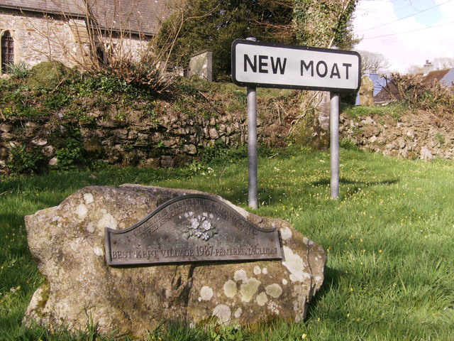
New Moat
New Moat (Welsh: Y Mot) is a village, parish and community in Pembrokeshire, Wales. It extends from the southern edges of Mynydd Preseli to the Pembrokeshire...

Maenclochog railway station
Maenclochog railway station served the village of Maenclochog, Pembrokeshire, Wales, from 1876 to 1949 on the Narberth Road and Maenclochog Railway....

Llys y Fran
Llys y Fran is a small village and parish in the community of New Moat on the southern slopes of the Preseli Mountains in Pembrokeshire, Wales. The parish...

Bletherston
Bletherston (Welsh: Trefelen) is a small settlement and parish in Pembrokeshire, Wales. It is in the middle of eastern Pembrokeshire, 6 miles (9.7 km)...
Nearby Amenities
Located within 500m of 51.890256,-4.8133448Have you been to Drive Plantation?
Leave your review of Drive Plantation below (or comments, questions and feedback).